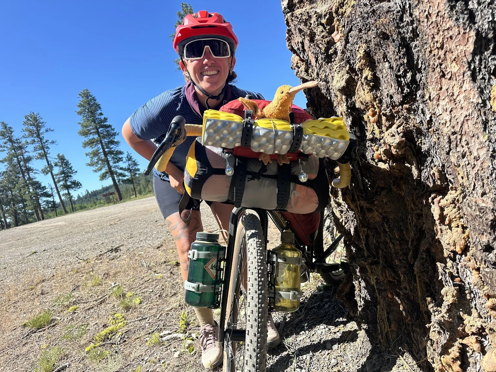
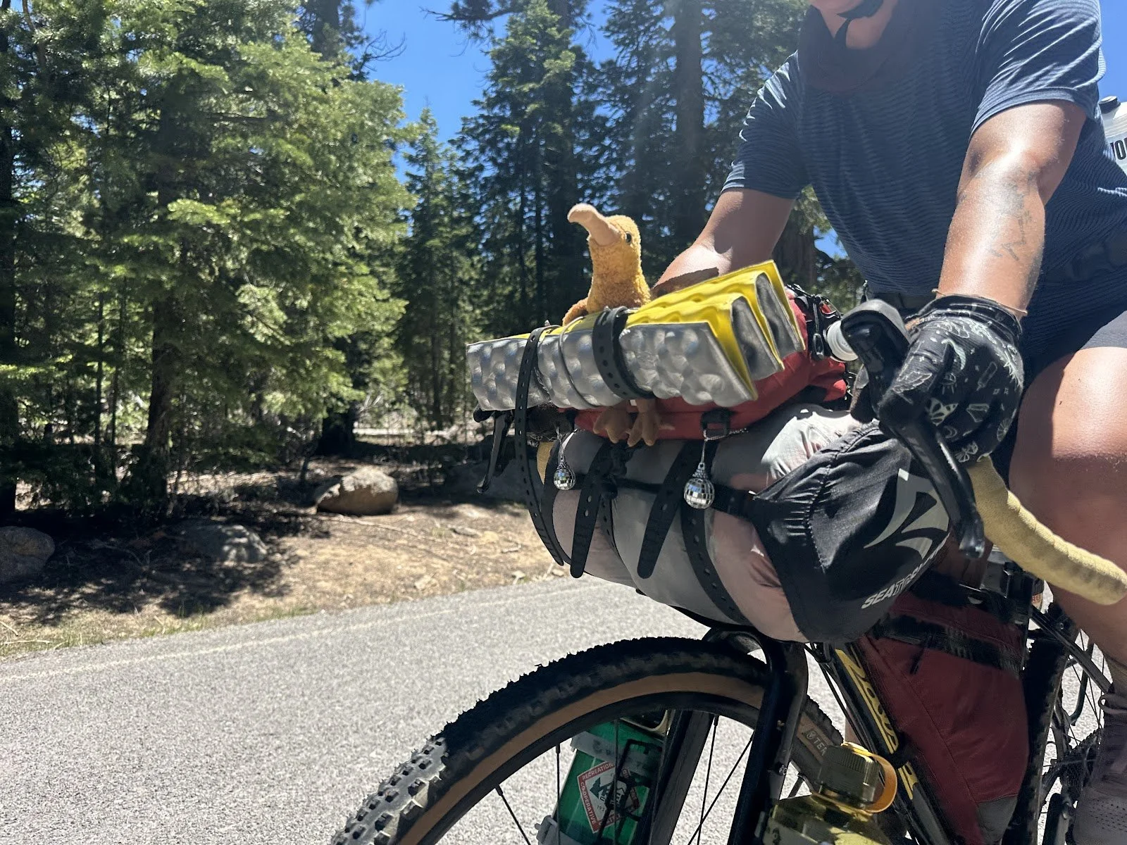
On June 28, 2025, Joe Miller set out from Lakeview, Oregon, for an 11-day backcountry bicycle tour on the Adventure Route of the Oregon Timber Trail (OTT). 553 miles and 42,400 feet of climbing later, he rode into Hood River, Oregon—battered and beaten, but ecstatic about his experience.
For those of you interested in taking on this epic trail, we’ll be sharing Joe’s story over the coming weeks, which includes his reflections along the way as well as several tips.
Joe Miller is a Board Member of the Oregon Timber Trail Alliance (OTTA), as well as an outdoor advocate and volunteer who has spent the past 30 years exploring the Pacific Northwest backcountry by foot, ski, raft, and bike.
Day 1: Lakeview to Thomas Ck Camp
|
Day 1 Ride Stats |
|
|
Total Mileage |
60.4 |
|
Elevation Gain/Loss |
+4,427/-3,650 |
|
Max Grade |
10.6% |
|
Total Duration |
12:07 |
|
Moving Time |
7:29 |
|
Stopped Time |
4:37 |
Link to Ride With GPS for this section: https://ridewithgps.com/trips/302111914
Basic Necessities
Water:
Assuming your water is full when you leave Lakeview, you’ll be fine for the first 30 miles or so. You’ll want to top off when you get to the bottom of the Crooked Creek trail, anywhere between mile 25 and 30. Fill up after the trail flattens out and before the trailhead. You’ll cross the creek several times and fill up when convenient. The creek is really brushy at the trailhead, making it harder to access. Once you leave the trail, you'll find water in some areas as you start the climb up to Winter Rim but be aware that cow herds roam in these creeks, so they are not an ideal water source.
Camping options:
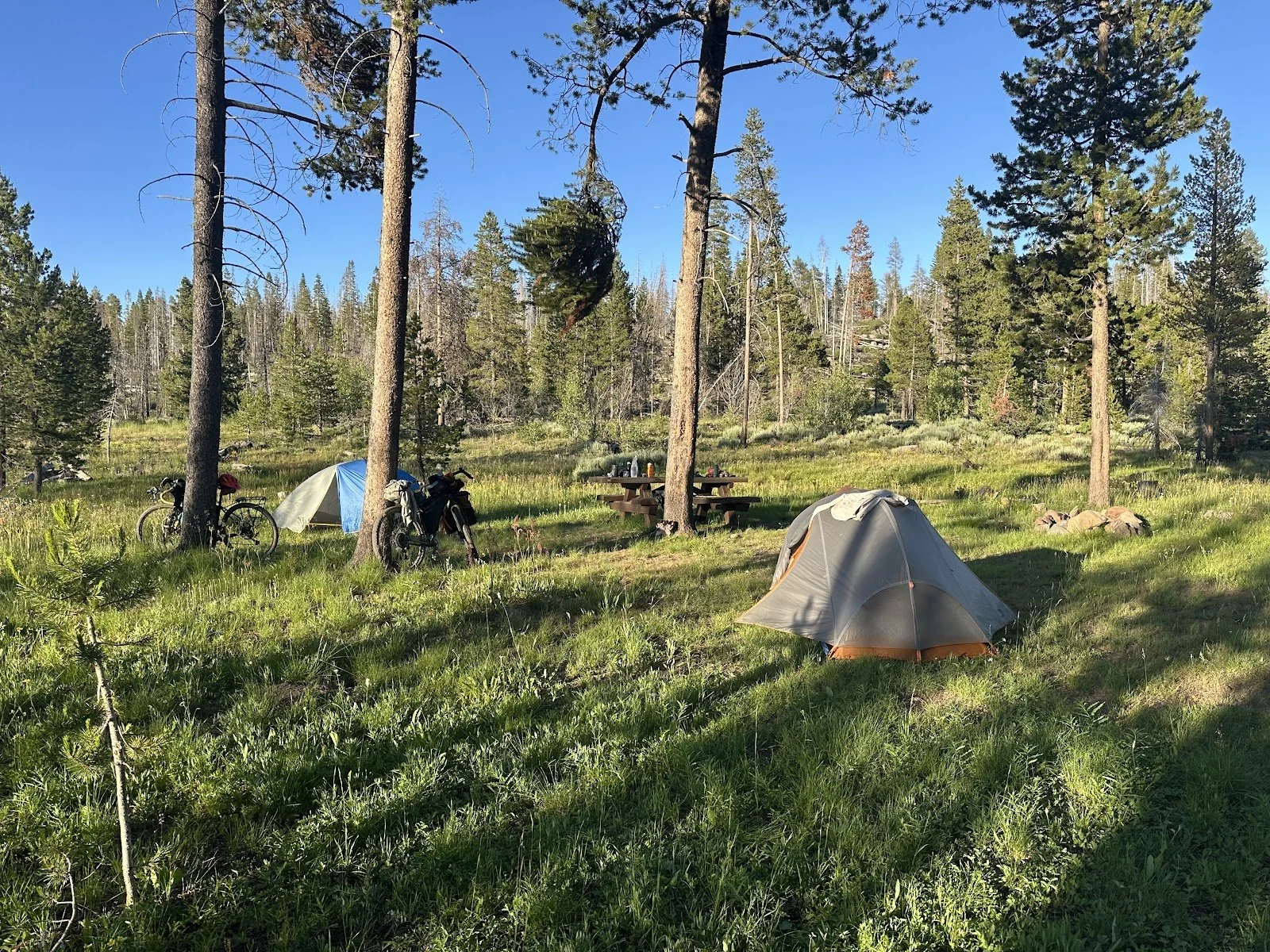
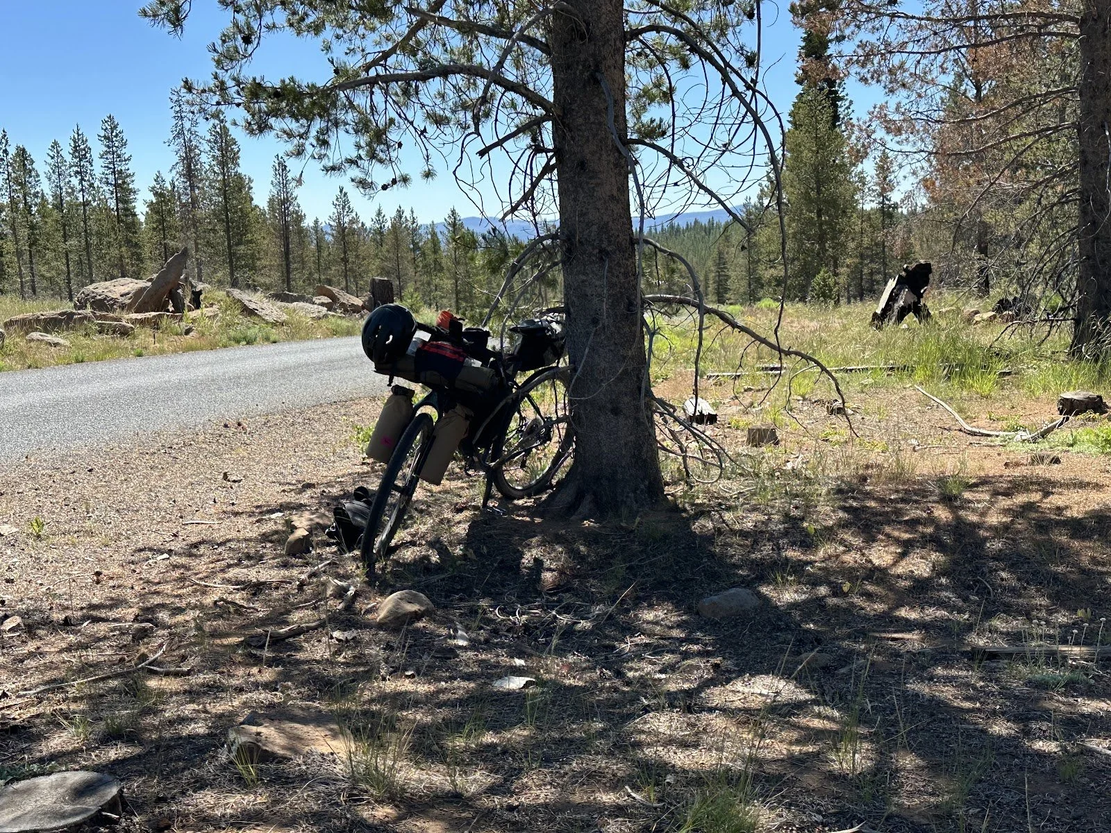
If you’re looking for a campground for the night, you have two good options: the Mud Creek Campground, about 21 miles in, and the Dairy Creek Campground, about 60 miles in. The Dairy Creek Campground does not appear on any of my maps, but it is there. There is a clean pit toilet, a well (still filter the water though), and good campsites. We stopped at Thomas Creek Camp, a hunter's camp about 57 miles in, which is not a campground, no facilities, no water, lots of cow patties, not ideal, but good enough to pitch a tent after a long day.
Resupply options: None
Route:
Be on the lookout for the Crane Mtn National Rec Trail turnoff at around mile 9. The route here is a bit confusing; six roads come together, and the trailhead is not obvious. My Garmin GPS unit didn't show the trail, and we descended a paved road for about a mile before realizing our mistake. Neither of us wanted to climb back up to catch the trail. Fortunately, this is an easy detour, and we were able to reconnect with the route after about 5 miles.
Ride Report
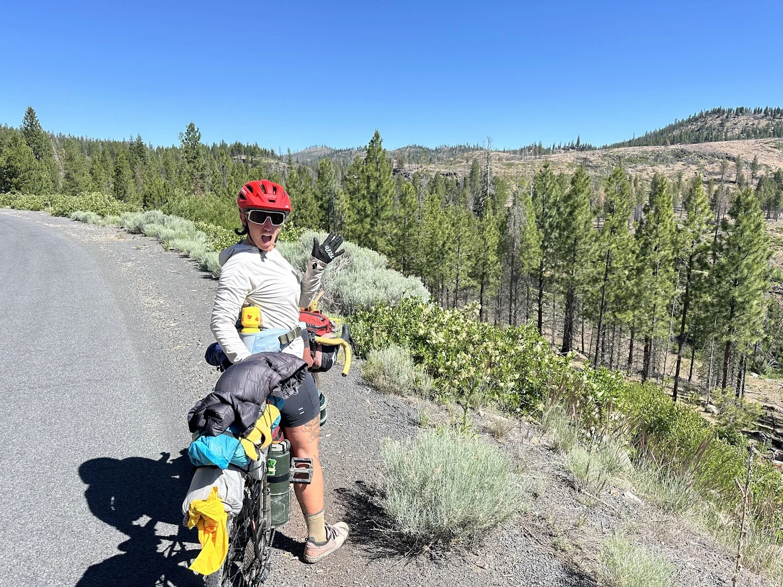
The Friday evening before the ride I had dinner at The Neon Cowboy where I met Tom and Shelly Baty. Tom owns Tall Town Bike & Camp and Shelley runs the Lake County Chamber of Commerce. Both Tom and I volunteer as board members of the Oregon Timber Trail Alliance. I also met Hanna there, a rider from the Bay Area, and since our itineraries matched, we decided to ride together to Chemult.
On Saturday morning, Hanna and I, along with Sam and Dylan, two other riders starting that day, met up with Tom and Shelley around 8 am to get the ride started. Shelley captured the four of us leaving the Grand Depart on video, and Tom joined us for first 9 miles. Both Dylan and Sam had a much more aggressive schedule than me and Hanna and rode off soon after we started.
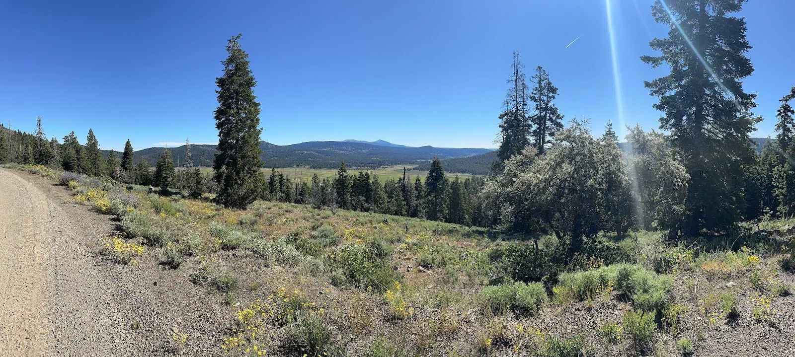
The climb begins immediately out of Lakeview and continues on good gravel, not too steep, with excellent views overlooking the valley below. After the first five miles, the grade lessens, but continues to climb gradually for another 3.5 miles, concluding at a busy intersection where six roads come together and where the Crane Mountain National Recreation Trail crosses.
Tom turned around at this point to open the shop, so we said our farewells and started to figure out where to go from here.
I first headed the wrong way down Road 3910 [see DIRECTIONAL WARNING below], just a bit before Hanna corrected me as I was going the wrong way. Then, we dropped down paved Road 3915, which is also the wrong way, but it took about a mile for both of us to realize it.
DIRECTIONAL WARNING:
Just short of Mile 9, the Crane Mountain Trailhead is not apparent, so when you get to this intersection, you’ll need to poke around for it. Or take the paved road down and take a right, and that’ll put you back on the route.
I had forgotten that the route turns onto the Crane Mountain National Recreation Trail here, and the trail parallels the road closely for a short distance, so while it appeared that we were on the right route, we were not. Neither of us wanted to head back up the steep climb to the top to catch the trail, and since Rd 3915 still got us back to the route, we just kept going down the road, turned right at the end of the road, and connected back up with the route.
So, make sure to look for the Crane Mountain trail where those six roads come together, or just do the bypass we did, there’s plenty of riding ahead.
We climbed back up into the Warner Mountains on mostly paved road, and after about 10 miles of moderate climbing at about mile 25 we met up with the South Fork Crooked Creek trailhead and began the descent down to Hwy 395.
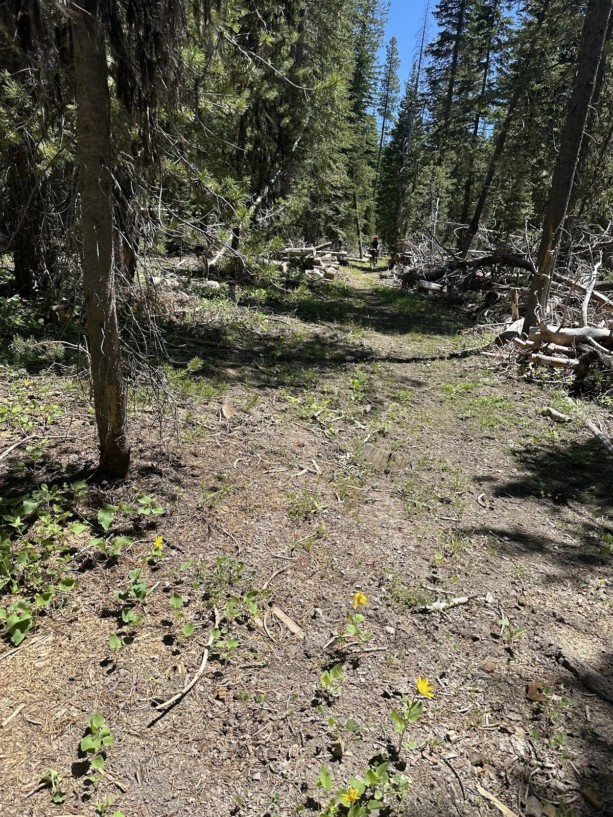
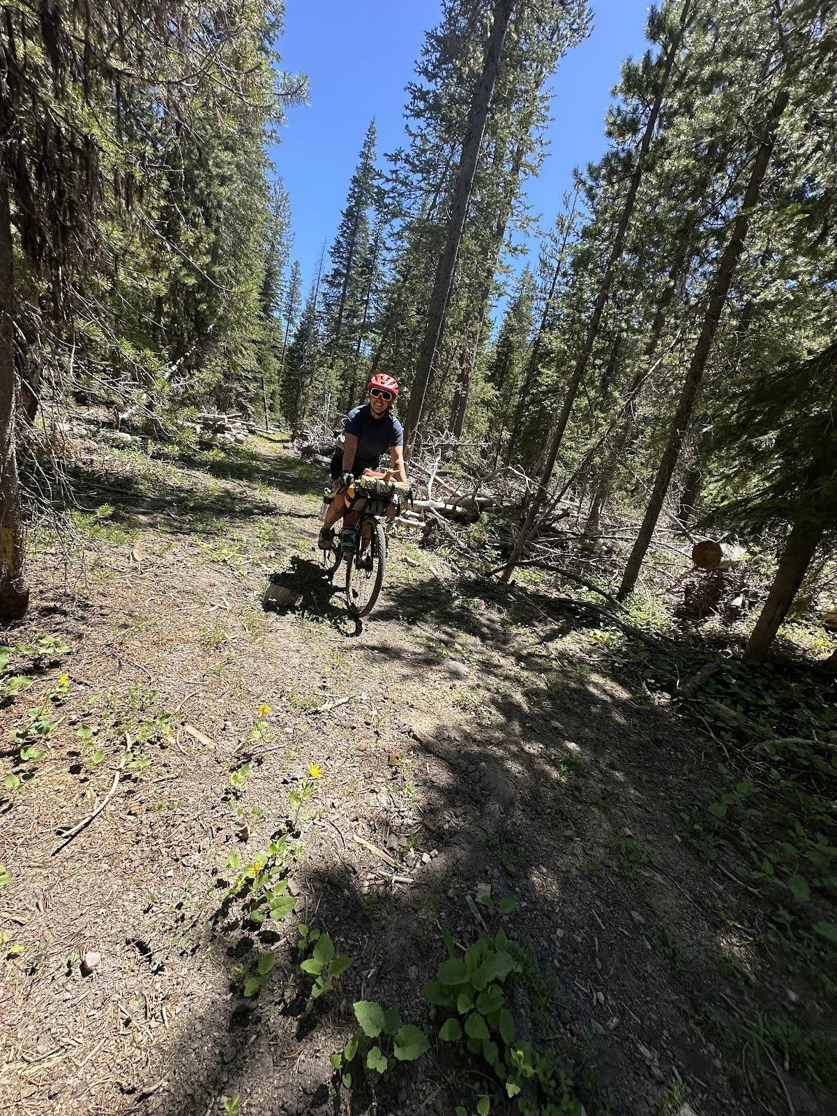
I was excited to bomb down this trail, but that was going to be more challenging on a heavy gravel bike with no suspension. This trail doesn’t get a lot of use, it’s loose, off-camber in spots, traverses a few bogs, and has downed trees on the second half of the trail.
Towards the bottom, the trail turns into a fast and fun double track with stream crossings that winds to the Mill Creek trailhead. Fill up on water somewhere in this area, it’s more easily accessible than at the trailhead.
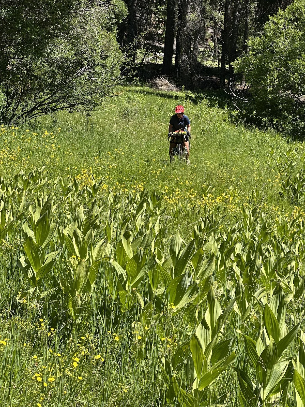
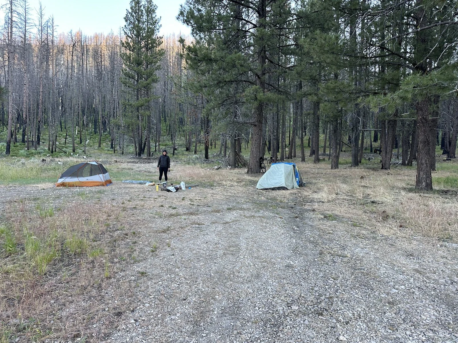
The trail is very rideable; however, it took us almost 2 hours to get down this 8-mile downhill. The route continues on good gravel, which Hanna started calling “butter gravel,” before turning to pavement for the rest of the day. We rode on Hwy 395 for about 5 miles, which was hot but a lot more pleasant than I expected. The local traffic wasn’t too bad; most vehicles passed us with a wave and plenty of room, and soon we took a right onto Thomas Creek Road (County Hwy 2-1). We followed the paved road at a slight incline for the next 14 miles before finishing the day at Thomas Creek “Campground.” While hunters have camped here before, it is certainly not a campground, and there are no facilities or water. We were able to find tent spots between the cow patties, but it’s not exactly a great place to camp. Still, after a too-long 12-hour day, we had enough water and were both tired enough to call this home for the night and reminisce about the day's adventures over dinner before turning in.
Day 2: Thomas Ck Camp to Rock Ck Forest Camp
|
Day 2 Ride Stats |
|
|
Total Mileage |
37.1 |
|
Elevation Gain/Loss |
+2,816/-1,900 |
|
Max Grade |
8.7% |
|
Total Duration |
5:44 |
|
Moving Time |
4:04 |
|
Stopped Time |
100;39 |
Link to Ride With GPS for this section: https://ridewithgps.com/trips/302500921
Basic Necessities
Water:
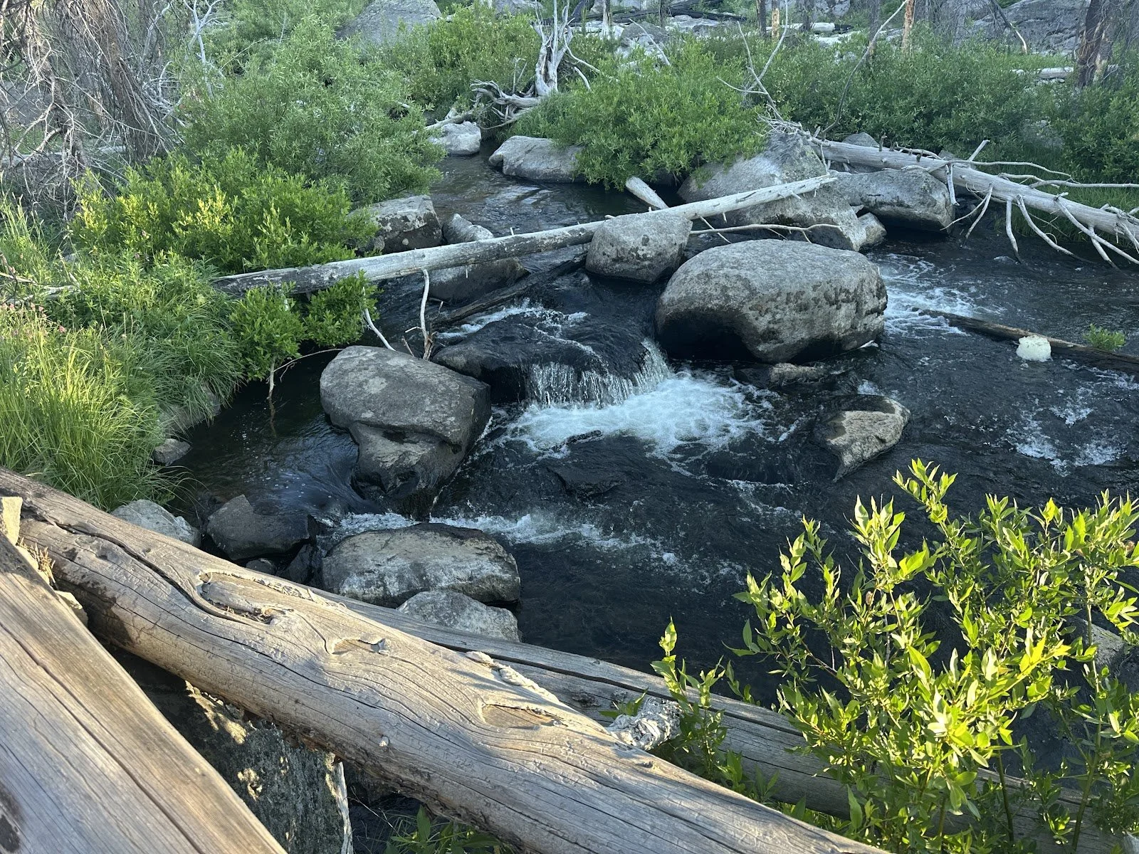
Fill up your bottles at Dairy Ck Campground. There are other opportunities up high, but you’ll likely be able to carry enough to get to Rock Ck Forest Camp (RCFC) and refill before continuing.
The creek is absolutely lovely at RCFC. There are easily accessible spots to filter water, big boulders to splay out on, and some spots are wadable; just be careful not to squish one of the many crawdads that call this creek home.
Camping options:
The Hanan/Sycan campground, about 3 miles before Rock Ck Forest Camp, has a pit toilet and a stream nearby, but only one site, and it's kind of dusty. The RCFC is a nicer spot with easier access to water.
Make sure to include splinter removal tools in your first aid kit. Both Hanna and I got some nasty splinters from the tables at the Rock Creek Forest Comp. All the sun-cooked picnic benches are aggressively trying to stick you. Consider yourself warned.
Resupply options: None
Route:
Easy to follow, all pavement, exposed to the sun, but otherwise a good day of riding.
Ride Report
We both got up early to a cool morning, ate breakfast, and rolled out by 7:30.
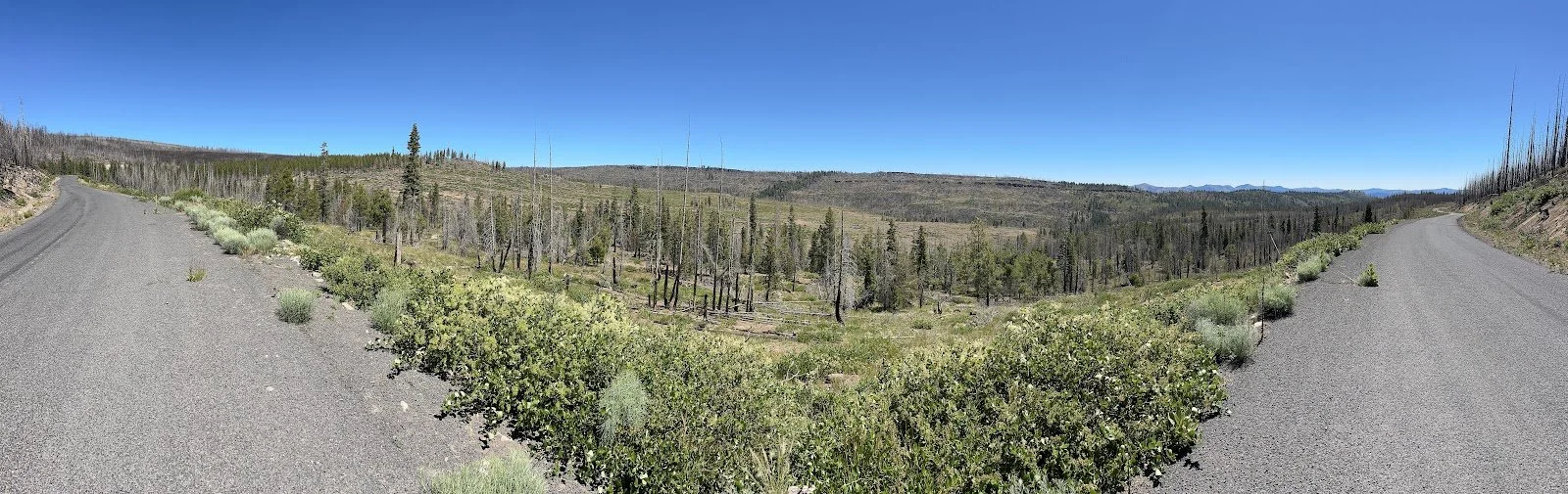
This was intended to be an easy 37 mile day with 2,800 feet of climbing, and we hoped to be done around noon. The climbing—all on pavement—felt continuous but included some short downhill breaks. We were completely exposed to the sun, hot but not oppressively so.
I imagine that late July/August will be much different.
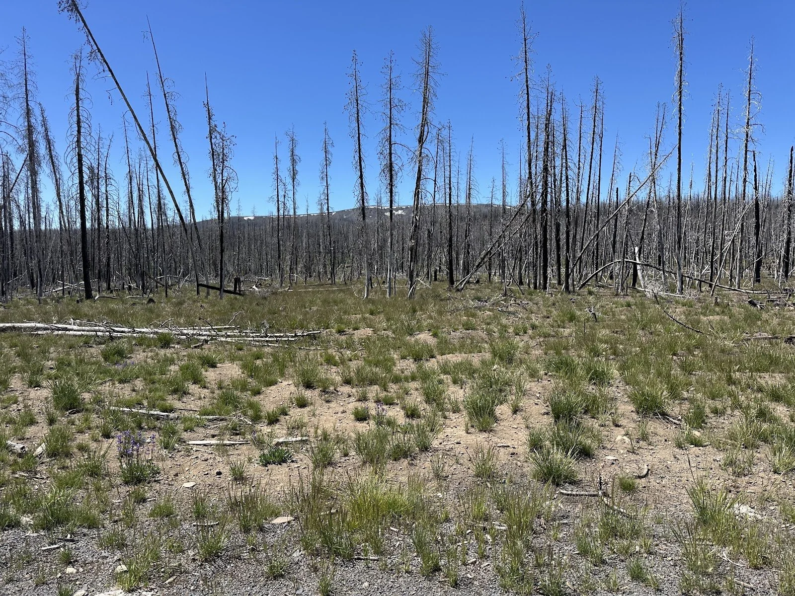
The terrain is gorgeous. Big ponderosa pines, quaking aspens, and some burned areas, but this section is mainly intact.
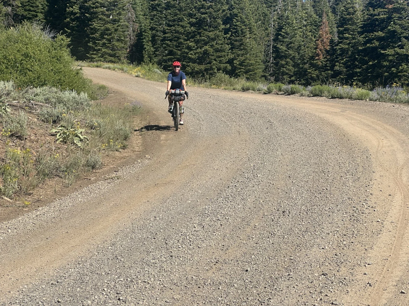
It’s paved the entire way to Rock Ck Forest Camp, our destination. Hanna’s been a great riding partner: easy to talk to, endlessly cheerful, funny, always smiling, enjoying both the hard and fun riding and our party pace, and has considerable expertise in picnic table splinter extraction. I’m lucky to have connected with her; these would be long, lonely days riding solo. This area is remote and having a riding partner makes it feel a lot more comfortable.
We finished the around 1 and enjoyed a lazy afternoon, wading in the creek, napping, reading, and eating and then early into our tents.