
On June 28, 2025, Joe Miller set out from Lakeview, Oregon, for an 11-day backcountry bicycle tour on the Adventure Route of the Oregon Timber Trail (OTT). 553 miles and 42,400 feet of climbing later, he rode into Hood River, Oregon—battered and beaten, but ecstatic about his experience.
For those of you interested in taking on this epic trail, we’ll be sharing Joe’s story over the coming weeks, which includes his reflections along the way as well as several tips.
Joe Miller is a Board Member of the Oregon Timber Trail Alliance (OTTA), as well as an outdoor advocate and volunteer who has spent the past 30 years exploring the Pacific Northwest backcountry by foot, ski, raft, and bike.
Day 3: Rock Ck Forest Camp to Thompson Reservoir
| Day 3 Ride Stats | |
|---|---|
| Total Mileage | 53.2 |
| Elevation Gain/Loss | +2,751 / -4,095 |
| Max Grade | 8.3% |
| Total Duration | 10:21 |
| Moving Time | 6:51 |
| Stopped Time | 3:30 |
| Total Mileage | 150.7 |
| Total Elevation Gain/Loss | +9,994 / -9,595 |
Link to Ride With GPS for this section: https://ridewithgps.com/trips/303067985


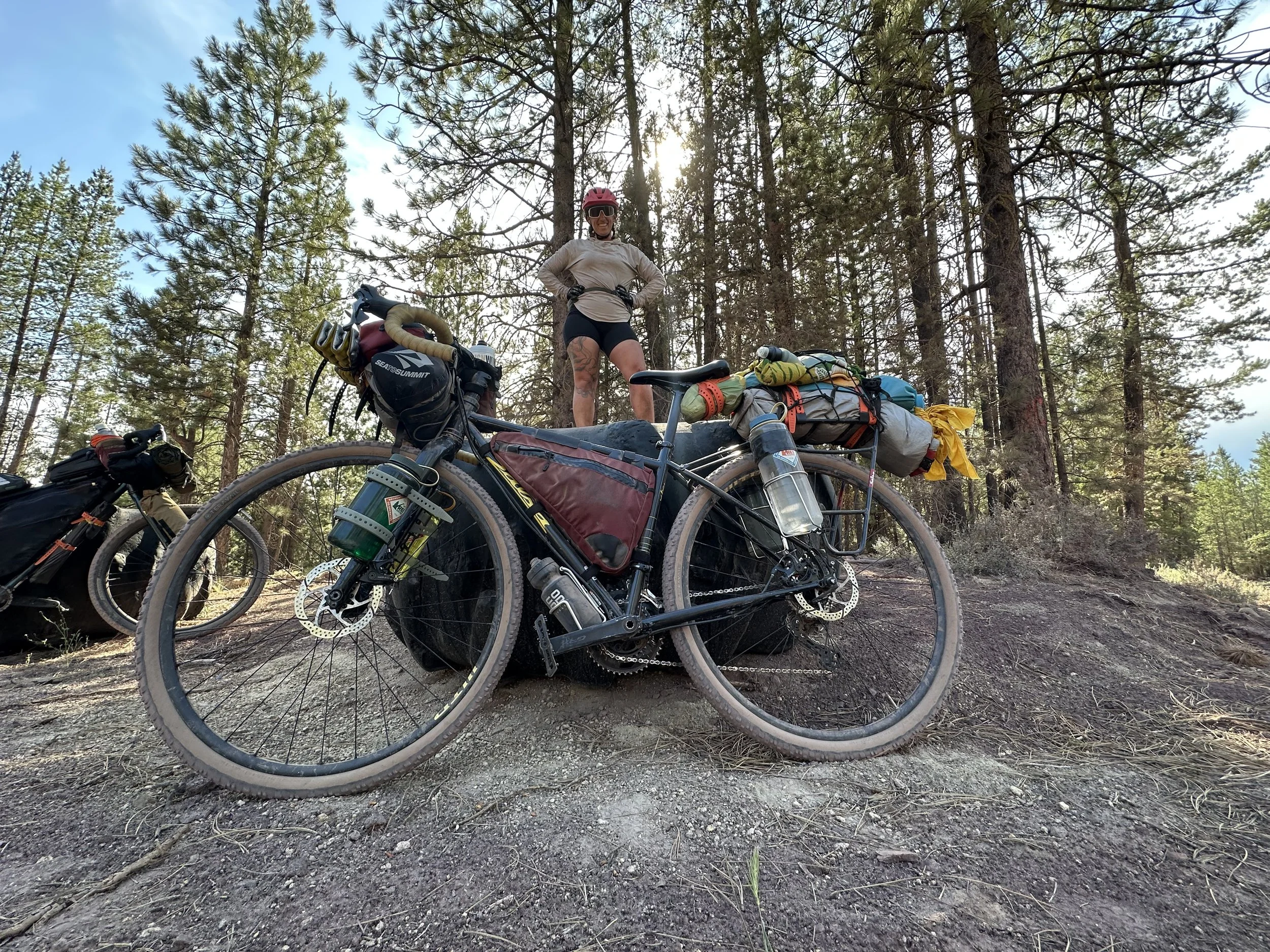
Hanna's Rig
Out of Rock Ck Forest Camp, the paved road turns to gravel and upwards for a 2.5-mile climb towards the edge of Winter Rim. The surface type falls under Hanna’s “butter gravel” classification, hard and smooth (for gravel), and easy to ride.
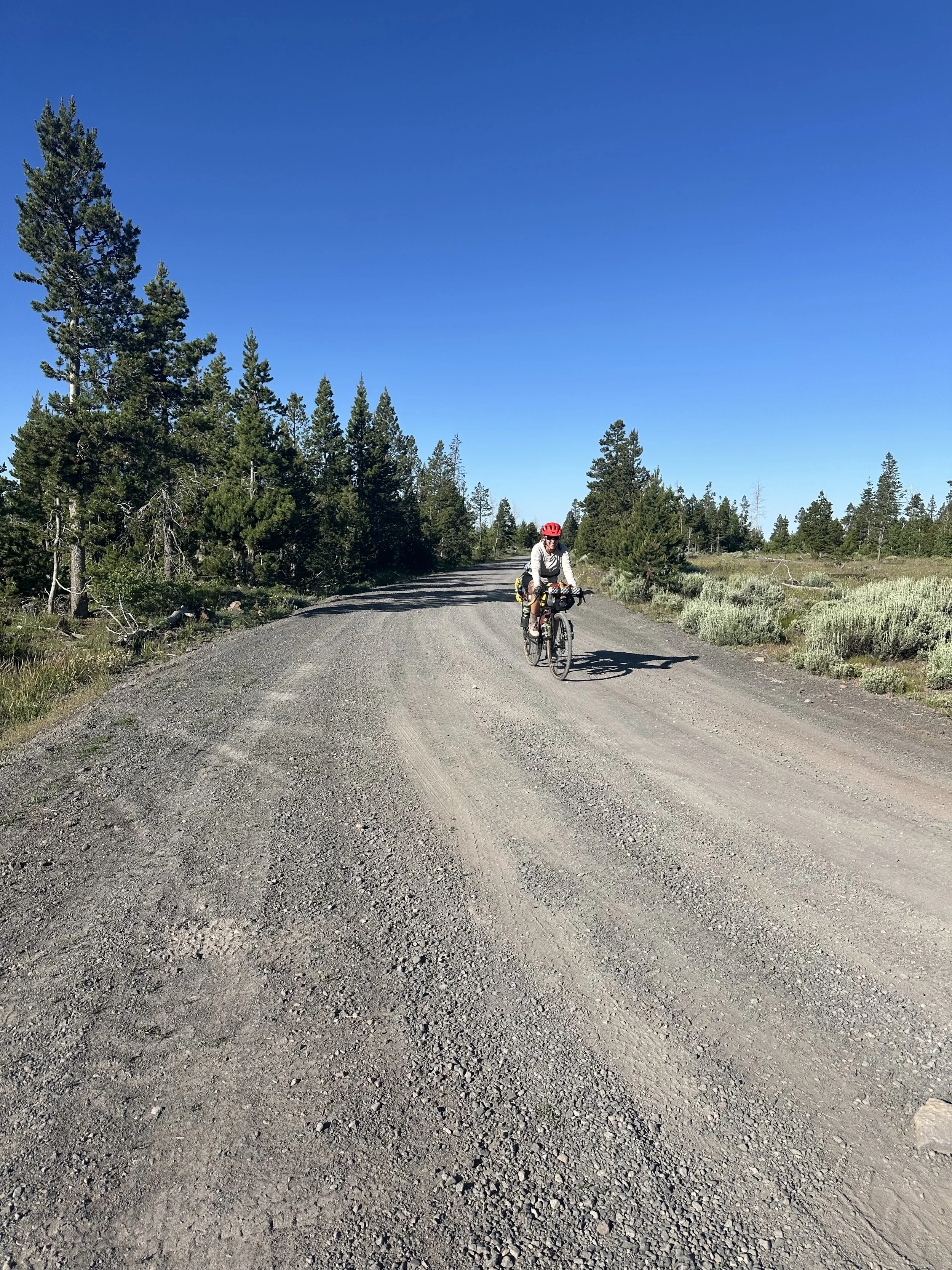
Good Roads on the climb out of Rock Creek Forest Camp up to Winter Rim
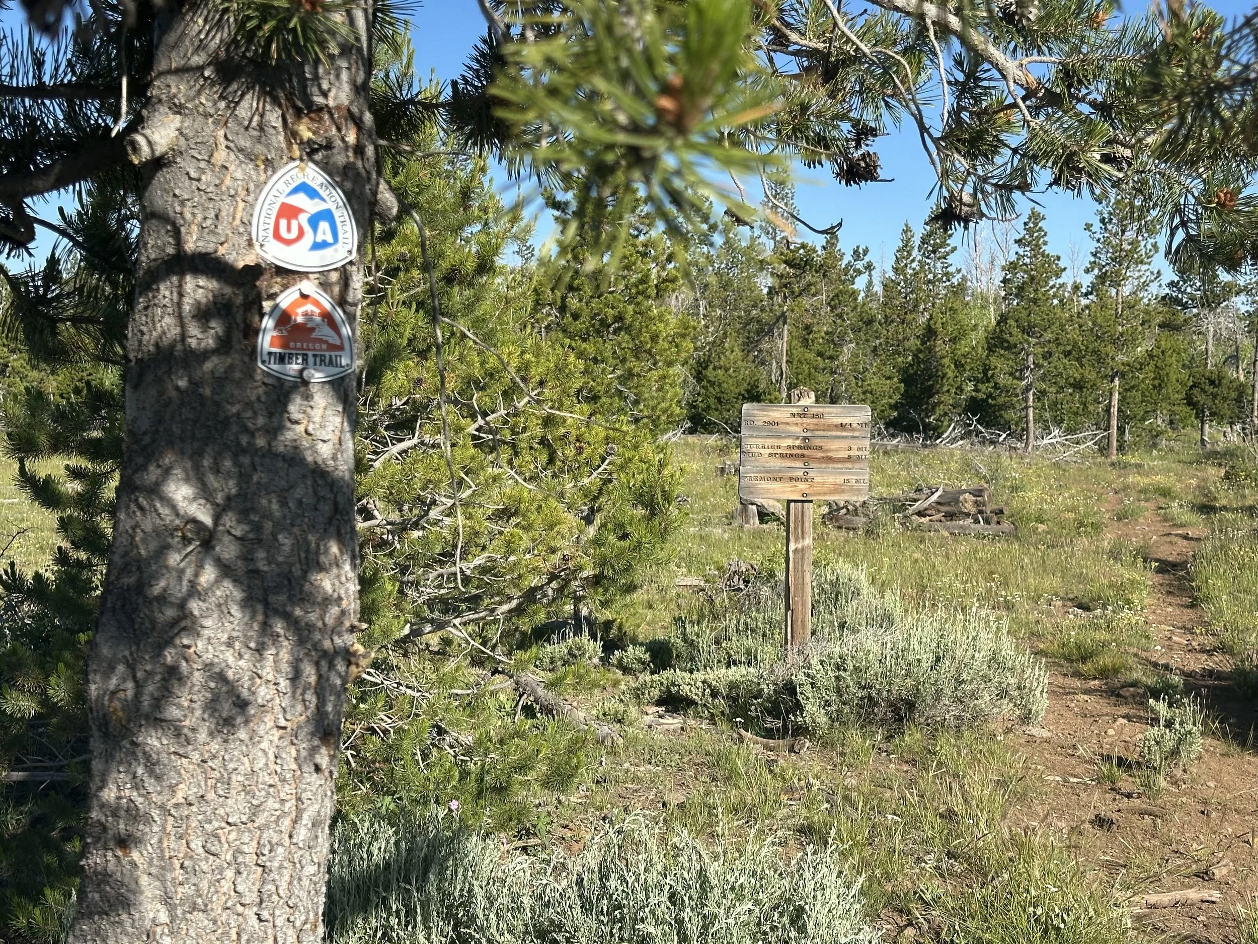
The Gravel Route and the Original OTT Cross path's at the top of Winter Rim
Five miles into the day, you’ll pass Currier Springs and the last of reliable water for a while.
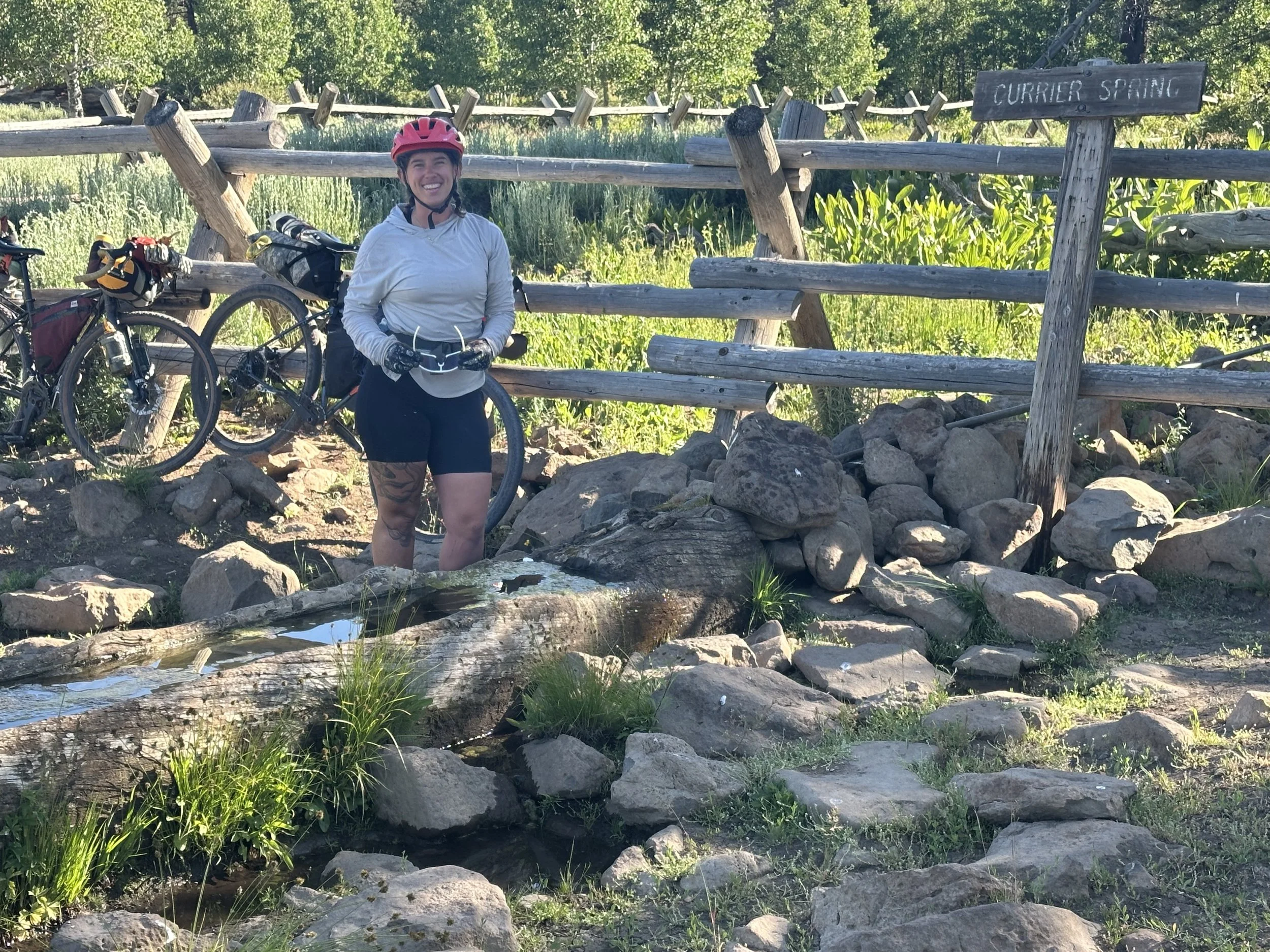
Make sure to top off your water at Currier Spring. It'll be the last reliable source for quite a while
Shortly after Currier Springs, the route turns right off the main road and follows a red pumice road closer to the edge of Winter Rim (though you don’t get to the edge of the rim here).
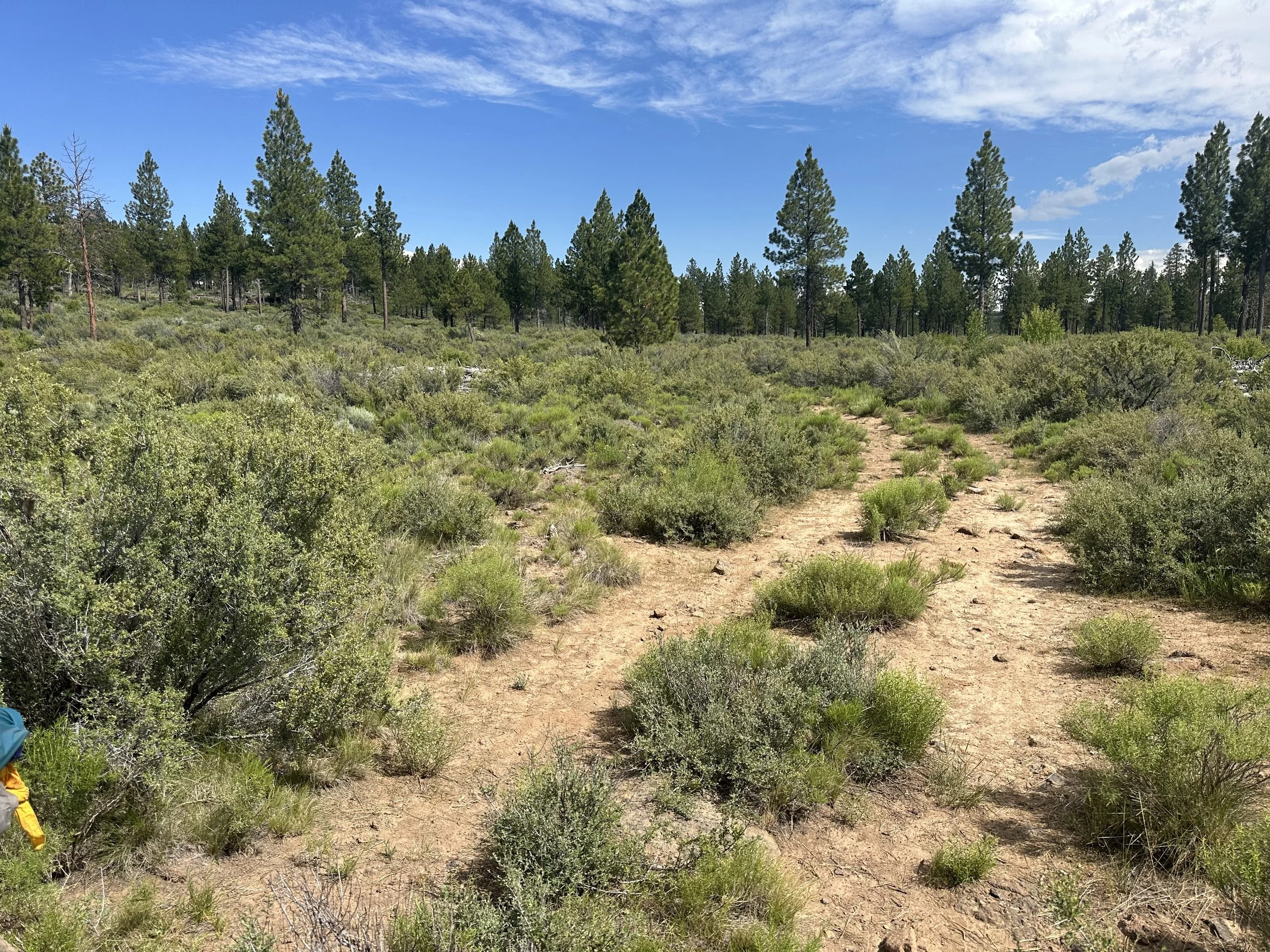
"Granola Gravel." This is where the day's riding started to get really interesting
The pumice road was easy riding, but a little deeper than the butter gravel with large chunks of pumice mixed into the surface. Hanna called this “granola gravel,” and thus, the food-based gravel classification system that Hanna had been pondering throughout the last few days was born.
Aside from the singletrack on day 1, this was the first section of challenging surface types that more accurately reflected the conditions of the roads we’d be spending the most time on. The rocks on this 7-mile section towards Fremont Point were larger (about fist-sized) and loose with buried boulders and ruts—earning the moniker “rice & beans” gravel. Since it was flat, it was somewhat easy to ride but leaning more into mountain bike conditions rather than gravel bike conditions. It’s fun riding, but hard work. The surface varies from rice & beans to granola, dirt (no food name for dirt yet), and other unnamed surface types, which wears on both you and the bike. The road eventually connects back to the butter gravel of the main road and heads up to Fremont Point, a great place to stop for lunch, views, and pit toilet.
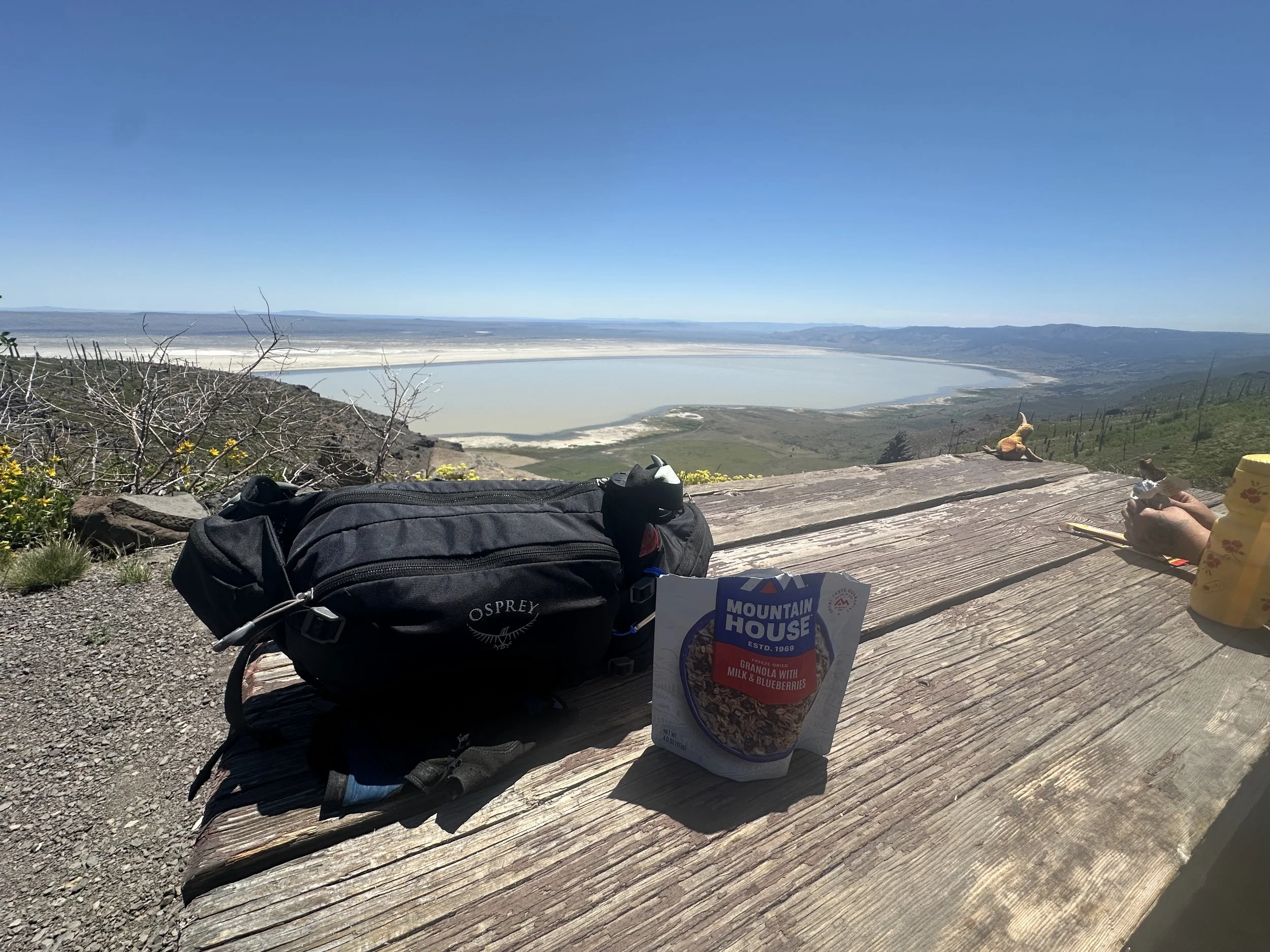
Make sure to stop at Fremont Point for a break. The views are amazing.
There is plenty of room to camp here (you’re not supposed to, though), keep in mind there is no water here.
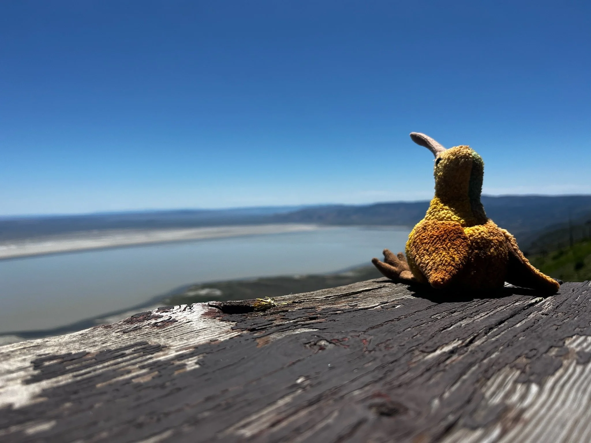
Even The Kiwi loved the view.
Hanna and I both looked at the elevation profile and agreed we had a 30-mile descent to Thompson Reservoir, our target camping area for the night. What is not apparent is the road surface. We both assumed it was generally clean, rideable gravel, but what followed was chunky rice & beans—territory more befitting a full suspension mountain bike than a gravel bike.
The descent from Winter Rim is where the road turns rugged. Its a fun descent, but a lot of work.
At one point, we had to push our bikes up a wall of boulders—which prompted the gravel classification of “beef stew,” and this beef stew surface makes up a significant portion of the downhill to Thompson Reservoir.
Pushing up a wall of Beef Stew.
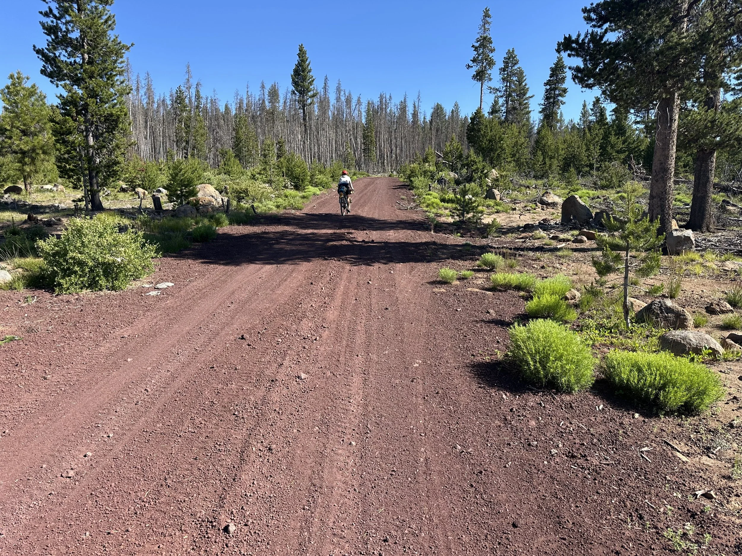
The riding is fun but slow, challenging, sometimes comically frustrating, but all very rideable. This whole area is a maze of roads, some less apparent than others, and in some cases the roads were barely distinguishable from the surrounding landscape—they are roads in the loosest sense; someone drew a line on a map and someone else drove along that line, but that is about the extent of the term “road.”
In many segments, the double track resembles two intertwined single tracks of loose rock and dirt, with some smooth sections interspersed.
The road morphs into double track that more closely resembles a trail than a road
However, for both me and Hanna, this was a pretty enjoyable 30-mile section; it just takes a lot longer than you’d expect and is quite taxing on both your body and gear. There are faster sections intermixed, but it’s similar terrain down to Thompson Reservoir. We missed our planned turn by a few hundred yards and had to walk our bikes down a loose steep “road.” Once down, we crossed the dam and rode to the campground, hoping for access to a swimmable lake, easy water, and good facilities. The campground was fine, clean pit toilet and tables, but the lake isn’t exactly swimmable (we learned later it’s full of leeches) and the well was broken. We reluctantly filtered lake water, had dinner, and went to bed. It was an exhausting day for both of us, but we finished with a smile on our faces.
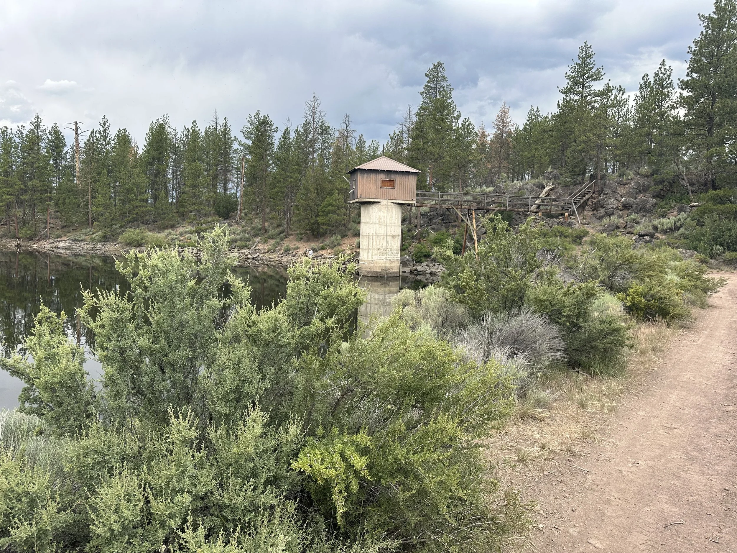
Thompson Reservoir was a sight for sore eyes. But, if you have the time and energy, I recomend continuing on to Silver Marsh Campgroung, another 5+ miles past the reservoir.
Basic Necessities
Water:
There are only 1 or 2 spots for water on the descent from Fremont Point, so top off where you can. Currier Springs is the last reliable refill. There is one additional spring before Thompson Reservoir. Plan on no water from Currier Springs down to Thompson Reservoir.
Camping options:
Fremont Point, located at the top of Winter Rim, is an attractive camping location; however, since it is a day-use area, camping is not permitted, and there is no water nearby. There is a Forest Service Cabin that people rent, and the signs request that you not bother those folks.
Thompson Reservoir Campground is okay, but just a few flat miles further is Silver Marsh Campground. In retrospect, I would’ve stayed at Silver Marsh since the water source is much better (flowing creek vs stagnant irrigation lake) and the sites seemed nicer.
Resupply options: None
Route:
This is challenging riding, especially the descent down from Fremont Point from the top of Winter Rim. These are ranch roads intended for trucks and cattle. This is where you’ll appreciate a suspended bike, as well as having mountain biking experience and skills. Hanna started to lose feeling in her right palm and pinky finger. My hands were tingling, the jarring is constant with few breaks of good road to give the hands a rest. Fun riding but punishing.
Just like the first day, today took us a lot longer than expected due to how slow the downhill was. Plan accordingly and get an early start on the day.
Day 4: Thompson Reservoir to Chemult
| Day 4 Ride Stats | |
|---|---|
| Total Mileage | 56.8 |
| Elevation Gain/Loss | +3,276 / -3,426 |
| Max Grade | 11.4% |
| Total Duration | 10:51 |
| Moving Time | 6:38 |
| Stopped Time | 4:13 |
| Total Mileage | 207.5 |
| Total Elevation Gain/Loss | +13,270 / -13,021 |
Link to Ride With GPS for this section: https://ridewithgps.com/trips/303138984

Ride Report
We got up early, anticipating reaching Chemult by mid-afternoon. Fearless ground squirrels accosted us throughout breakfast and while packing up.

Watch your stuff, the squirrels aren't afraid of you.
They’d be up on the picnic table sorting through food bags as soon as I turned around. We were badly losing that battle, so we got riding without too much delay. The terrain is rolling on good buttery gravel as you leave the Reservoir, and about 5 miles later is the Silver Marsh campground, where we planned to get water. Just before the campground is a bend in the road where the stream crosses and there is a small beaver dam on the upstream side of the road. It looks like an enticing place to filter, but beavers are aggressive defenders of their turf, and it's just not cool to hang there and torment the fellas. We kept going to the campground, hoping to find a well, or at least another spot to access the stream, but we did even better. We met Tim and Linda, from Prineville, holding camping spots there for a giant 4th of July/50th anniversary celebration/family reunion. They were lovely, filled our water, and treated us to a cup of coffee. After about 30 minutes, we had to decide whether to pitch our tents or get riding, and since it was about 8:30 in the morning, we decided to get riding. Thanking Tim and Linda for their hospitality, we left the campground and got back on the route, which is just across the road from the campground. This is the Antelope Road, and after passing through a gate (make sure you leave the gate as you’ve found it), the “road” turns into a beef stew climb. It's all rideable, but at a pretty heavy energy cost.

The Antelope Road, just after Silver Marsh Campground, is a rough climb, mostly rideable but it takes some effort.
It’s a fun and challenging 1-mile climb to negotiate, and once at the top, another mile before hitting clean gravel. If you have “bovinophobia,” this section will be tough for you. Lots of free-range cows and bulls, they mostly ran away as we passed, but we did get heavy side-eye from the bulls.
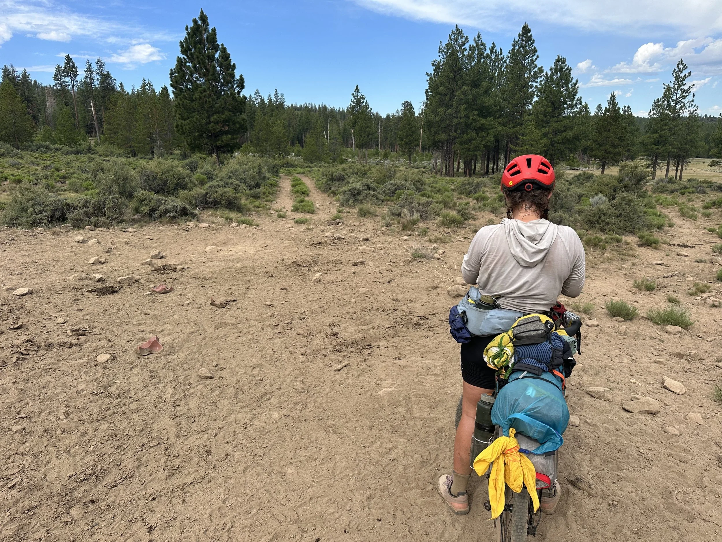
Hanna figuring out the route. This area is easy to get turned around. There are a lot of roads heading off in all sorts of directions. Trust your GPS, don't go without one.
I wouldn’t linger here, these animals don’t ever see people on bikes and they get pretty skittish.

The end of the Antelope Road. You'll enjoy good roads and fun doubletrack the rest of the way into Chemult
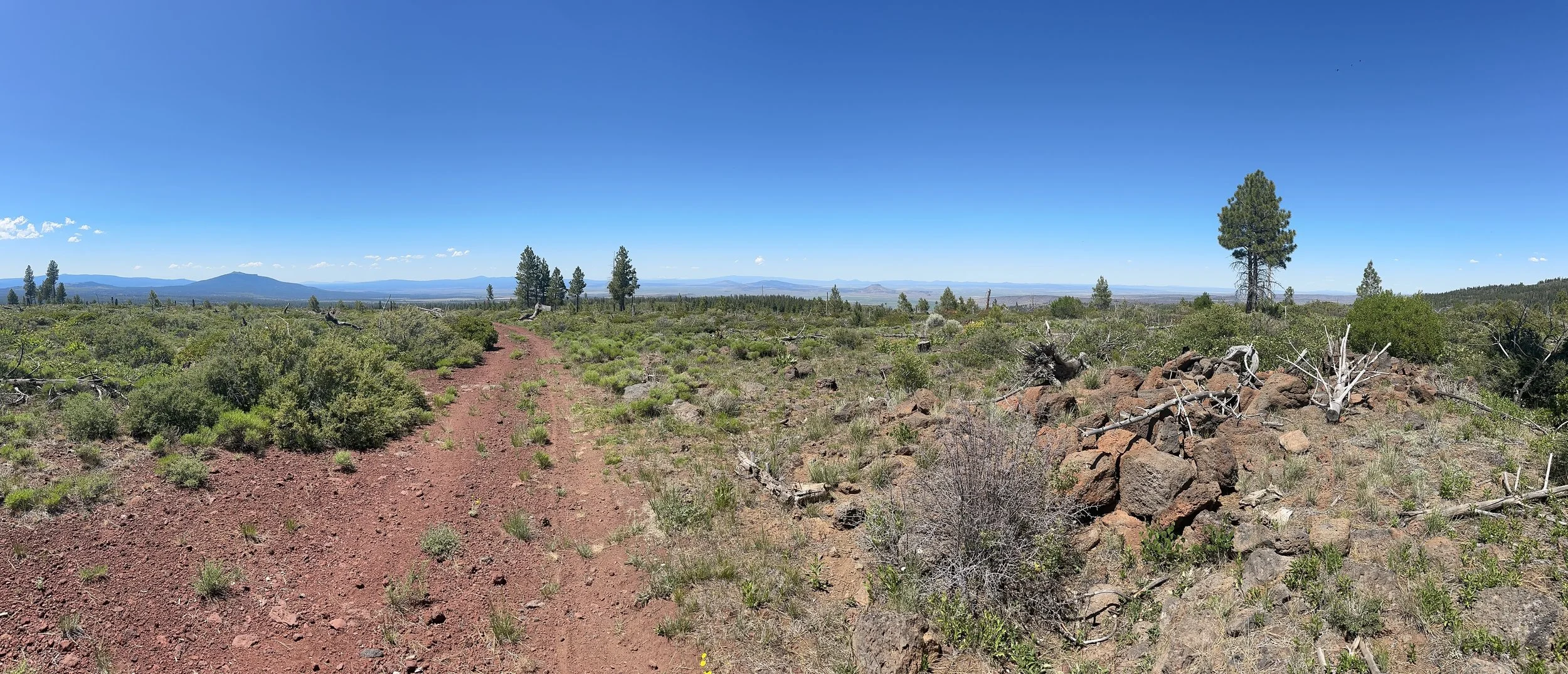
Once back on good gravel, the climb continues for another 8 miles, dips down for a fun downhill section, finishes with another short climb, then it's a fun and fast 10-mile downhill, turning into flat and rolling terrain into Chemult. It’s enjoyable riding; the climb isn’t too severe, and after the jeep and cattle roads we’d been on, any surface with good tread was easy to climb.
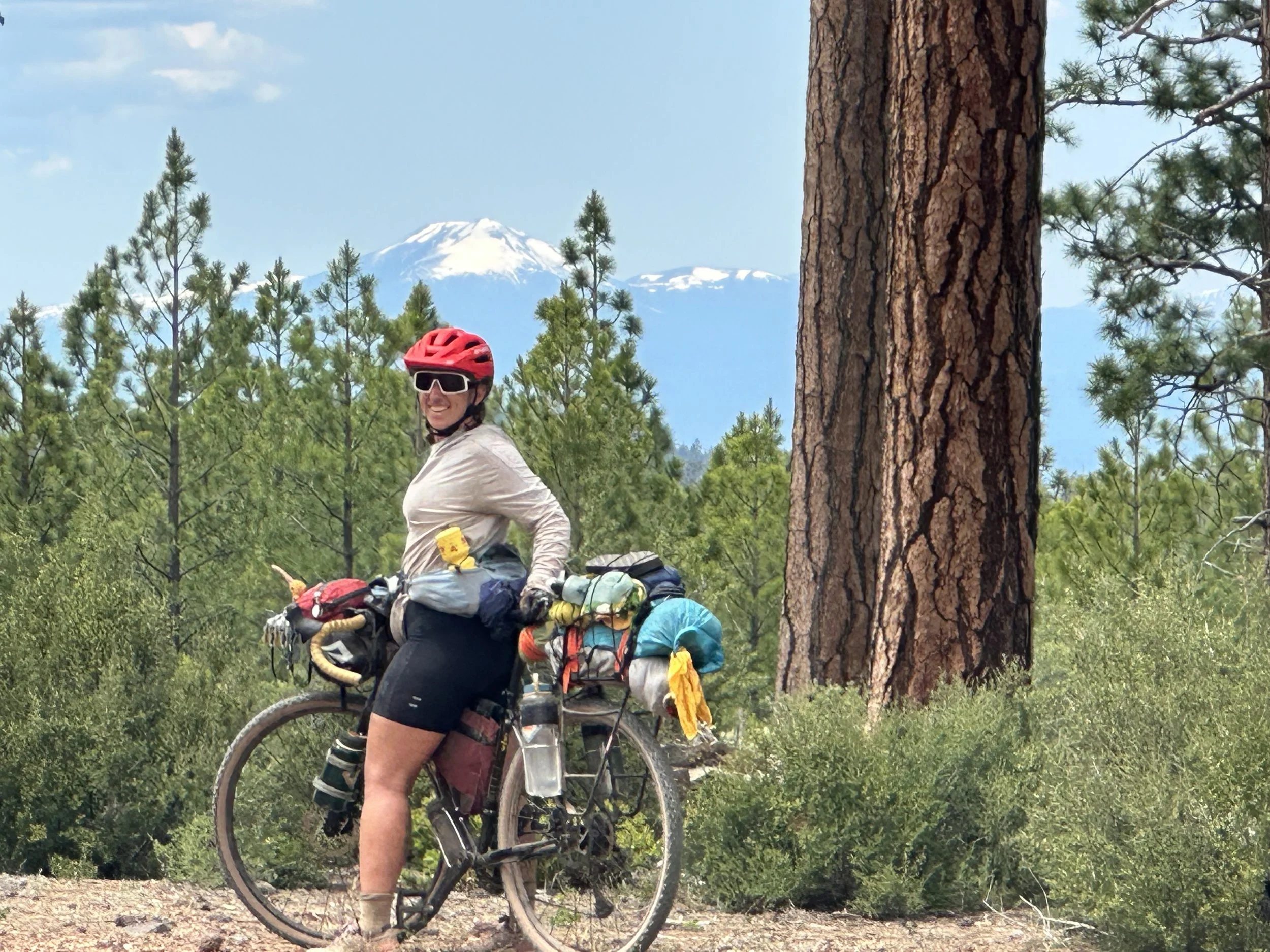
The first sighting of the Cascade Mountains
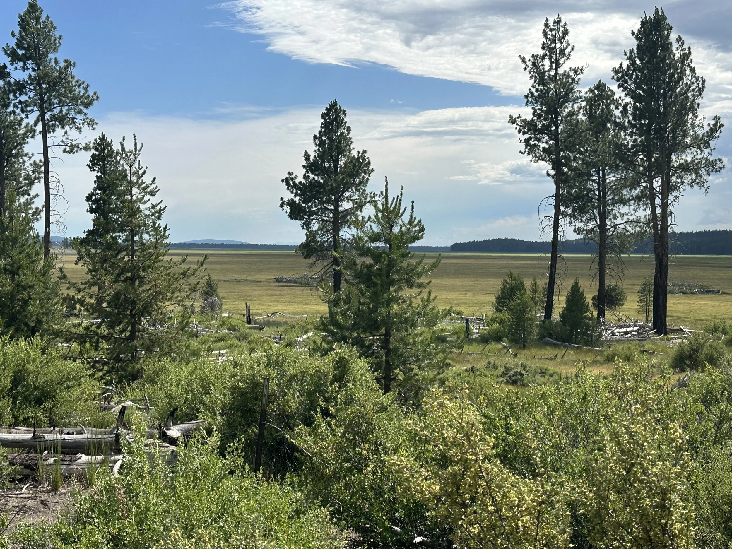
Klamath Marsh Wildlfe Refuge. There is a visitor center here, but we were told by Tim and Linda that the ride isn't worth the effort. But, if you have the time and energy it might be a cool spot to check out.
Closer to Chemult, the route turns into a heavily used OHV area; fortunately, it was deserted when we went through it. I imagine this area could be very sandy in the drier and dustier conditions later in the summer, but for us it was packed, fast and super fun, dubbed “ice cream” gravel. Recent rain helped pack it down, and the solid and grippy conditions continued all the way into town.
The Mighty Hanna
After the “roads” we had been on since Fremont Point, these conditions were glorious.
The dirt “alley” soon intersects with Hwy 97 and from there it's an easy roll into town. We stopped at the first hotel we saw, the Eagle Crater Lake Inn, checked in, and met up a few hours later for dinner. Not many options in Chemult, but Taquira Lupitas did not disappoint. Unfortunately, the Ponderosa Public House, which I had been looking forward to visiting, isn’t open on Tuesdays. Probably a good thing for me.
Chemult’s only grocery store is right across the street from the pub, and they had basic sundries and supplies for a decent resupply. They frequently have PCT hikers and cyclists on various routes stop in, so they have simple, packable foods. Some freeze-dried, otherwise basic fare. The people who manage the place are very nice. If you have a special need or request, they might be able to accommodate you if you talk to them ahead of time.
All in all, a great day of riding and onto more solid ground.
Basic Necessities
Water:
Top off at Silver Marsh Campground before heading up the Antelope Road. Water is scarce but it was not a problem for us to find refill options. Just top off whenever you can in case other sources have dried up.
Camping options:
Aside from Silver Marsh, there isn’t much in the way of campgrounds once you turn onto Antelope Road. You’re pretty close to Chemult, so best to keep going. There are several hotel options, and a campground just outside of town in case you aren’t quite ready for a bed and shower.
Resupply options:
This is the first and only resupply, and the small market in town gets a lot of cyclists, PCT through hikers, and other backcountry-minded people. The folks running the shop are really nice and were expecting us to come riding through. They have decent options, some fruits and veggies, but mostly processed food that can be assembled into some interesting meals.
If you are on a special diet or prefer higher-quality foods, consider reaching out to the market to see if you can send food to them, or if they can order specific items for you. Regardless, consider spending some money and supporting these businesses.
Route:
After you get off Antelope Road you’ll be on butter gravel for most of the day. As you get close to Chemult, you’ll get into an OHV area which for us was fantastic but likely gets sandy later in the year, and if you hit it on the weekend you’ll be sharing it with motorized enthusiasts. We had a great time on this section and all the way into Chemult.
