Join the OTTA Board!

Photo by Gabe Tiller

Like the trail and want to get more involved? Well, you’re in luck! OTTA is seeking enthusiasts, visionaries, and folks interested in investing in the future of the Oregon Timber Trail to join our Board of Directors.

The Oregon Timber Trail Alliance (OTTA) was formed in 2016 by mountain biking enthusiasts from across the state and was classified as a 501(c)(3) non-profit in 2020. The organization is dedicated to stewardship, education, community, and quality trail experiences along the Oregon Timber Trail corridor. 

The organization is actively seeking a diversity of voices, skills, and lived experiences to join our board to support and grow our stewardship capacity and make the trail more accessible. If you would like to be involved in the leadership of this growing organization, we invite you to apply below, especially if your life experiences, skills, and interests align with our mission.

Timeline: 

  • This application process for fall board selection will close on Friday, September 13th 

  • A virtual meet-and-greet info session will be scheduled after applications have been reviewed

  • Applicants for this board selection cycle will notified of board status once selections are made.

  • New board members should plan to attend the OTTA board retreat in October, TBA

If you have questions about serving on the board of the Oregon Timber Trail, please contact  exec@oregontimbertrail.org

Glad We Missed that Party Bus

The Sister’s Rodeo wasn’t the only thing happening the first weekend of June. As a crowd gathered along the streets of downtown Sisters for the kick-off parade, our group was busy fussing about in the parking lot of Blazin Saddles getting all geared up for our weekend overnighter out to First Creek hosted by the Oregon Timber Trail Alliance and our friends at Bikepacking Roots.

The night before we had met at the shop for an intro to bikepacking workshop. In this bikepack-curious, beginner-friendly workshop we shared a little background on the Oregon Timber Trail and went over the basics of how to prepare for upcoming bikepacking adventures. We covered the fundamentals of bikepacking including navigation, planning & logistics, packing, snacks & meal planning, followed by a community discussion to answer any lingering bikepacking questions.

After some last-minute strap checks, bathroom runs, and water bottle fills our group finally assembled to go over introductions and talk about the weekend’s route. We’d be riding about 20 miles mostly on singletrack and fire roads around Black Butte toward the Metolius River with a little stop-off at Camp Sherman for popsicles and ant last minute resupply. We headed out on an amended route to avoid the parade which was about to begin, many of us joking about maybe joining in next year to add a kooky bikepacking contingent to the festivities. It was hot and dry but overall pleasant as we headed out of town on a ribbon of singletrack that picked up just off the main road. Thanks to the Sisters Trails Alliance the route was clear, well marked, and even included informational signage about the prescribed burn areas we passed through.

We made it to camp early, a nice shady spot near a fast-running creek that provided us with cool clear water for drinking and washing up after riding through clouds of fine dirt all morning. But after dipping a toe we decided to go all in and set out to find a good swimming spot nearby. After a few bushwack-y attempts to locate the nearest beach, we jumped into cold Metolius to cool off. We later made our way back to camp where we sat in the dirt, making dinner and sharing stories until dusk settled in. The next morning we fired up our camp stoves and lingered over coffee while we talked about the day ahead then packed up our things, forded the creek, and made our way toward Suttle Lake. The day’s ride was smooth and sunny as we wound our way through the Deschutes back toward town. We couldn’t have asked for a better group, they came prepped and asked great questions. We all more or less kept pace with one another, playing hopscotch and chit-chatting the whole way.

Later that afternoon we arrived back in Sisters to the news that over the weekend a 3-year-old bull named Party Bus had jumped the fence and went careening through the concessions area. Glad we missed that Party Bus.

FarOut Man: Announcing a New Navigation Tool

Imagine having a reliable navigation app for your phone that also shows real-time information on route conditions.  The FarOut app does just that.  It will soon be available for biking the Oregon Timber Trail.  The FarOut library has a collection of over 200 hiking, mountain biking, and water trails worldwide. Included are the Arizona Trail, Colorado Trail, and the Western Wildlands mountain biking routes.  A one-time subscription for the Oregon Timber Trail mountain biking route will be about $25.

What distinguishes it from similar popular navigation apps such as Gaia is the ability to communicate route conditions and route alternatives in real time through the use of rider comments (https://faroutguides.com/features/).

Suppose you find that an important spring along the Fremont section of the OTT is dry when you pass by.  You can relay that information using FarOut and the next riders know to stock up at a better water source.  Or suppose you are one of the first of the summer to ride a section and find that numerous fallen logs have yet to be cut out of the trail.  You can add a note warning others that they might want to bypass that section.

Here’s how it works: The OTTA will submit route GPS files to FarOut, and we can refine the route as needed.  We’ll also be able to include alternatives to the main route, helping riders bypass sections that are too challenging for them, avoid fire closure areas, or combining an alternative route with the main route to create a loop ride.

Waypoints are plotted on the map and elevation profile, and each waypoint includes its own detail page with photos and descriptions. Water waypoints offer up-to-date water information, gathered from trusted sources and checked by other users.

You can suggest new waypoints to be added to the app or report conditions in the field by creating a custom waypoint, report any errors you notice on waypoints or comments, and flag inappropriate comments. You can also keep friends and family up to date by sharing a Check-in with your current location and a personalized message.

You can plan your day by letting the app calculate the distance to the next campsite, water source, or waypoint. You can also create your own custom routes using the route building tool.


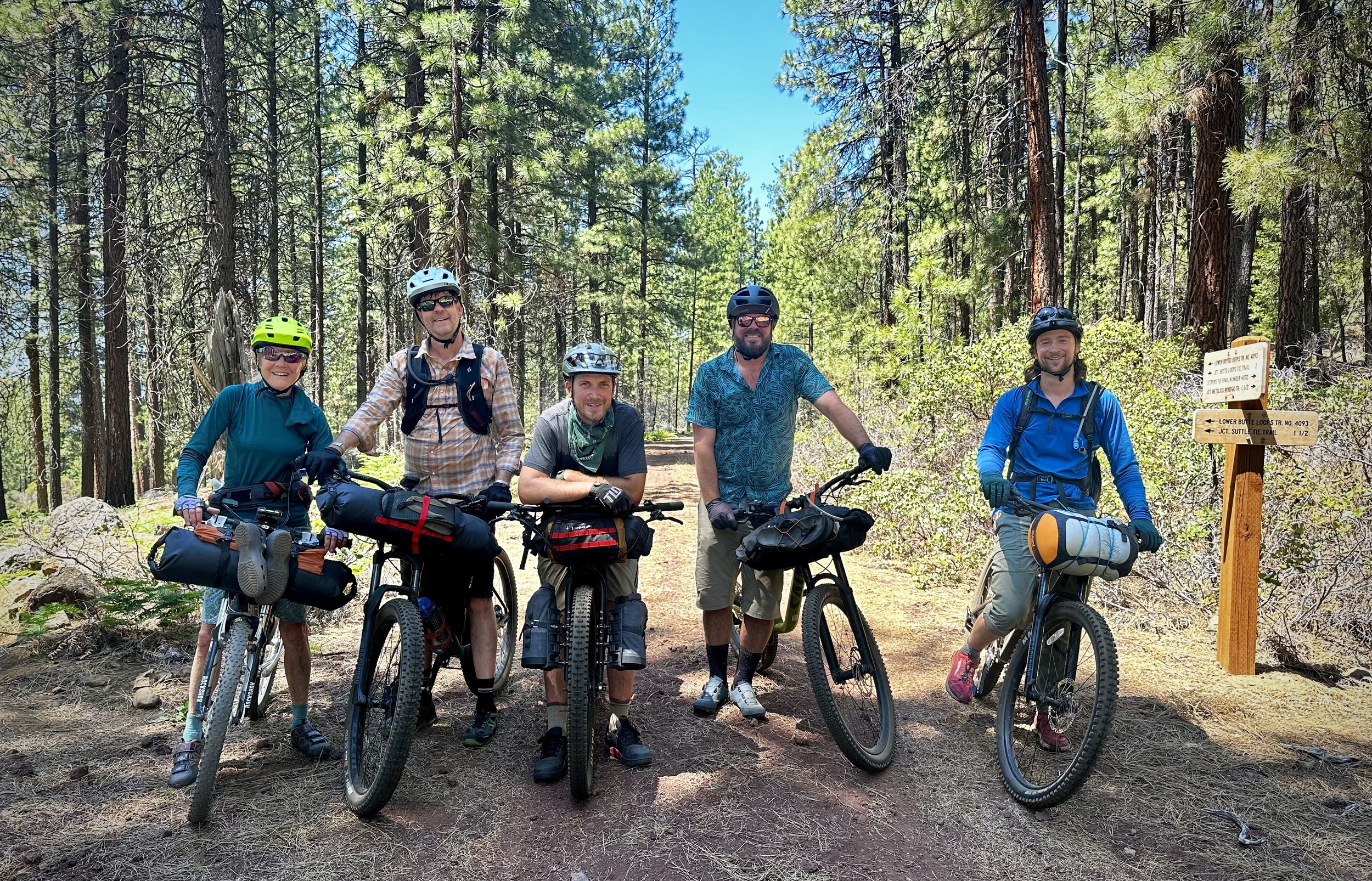
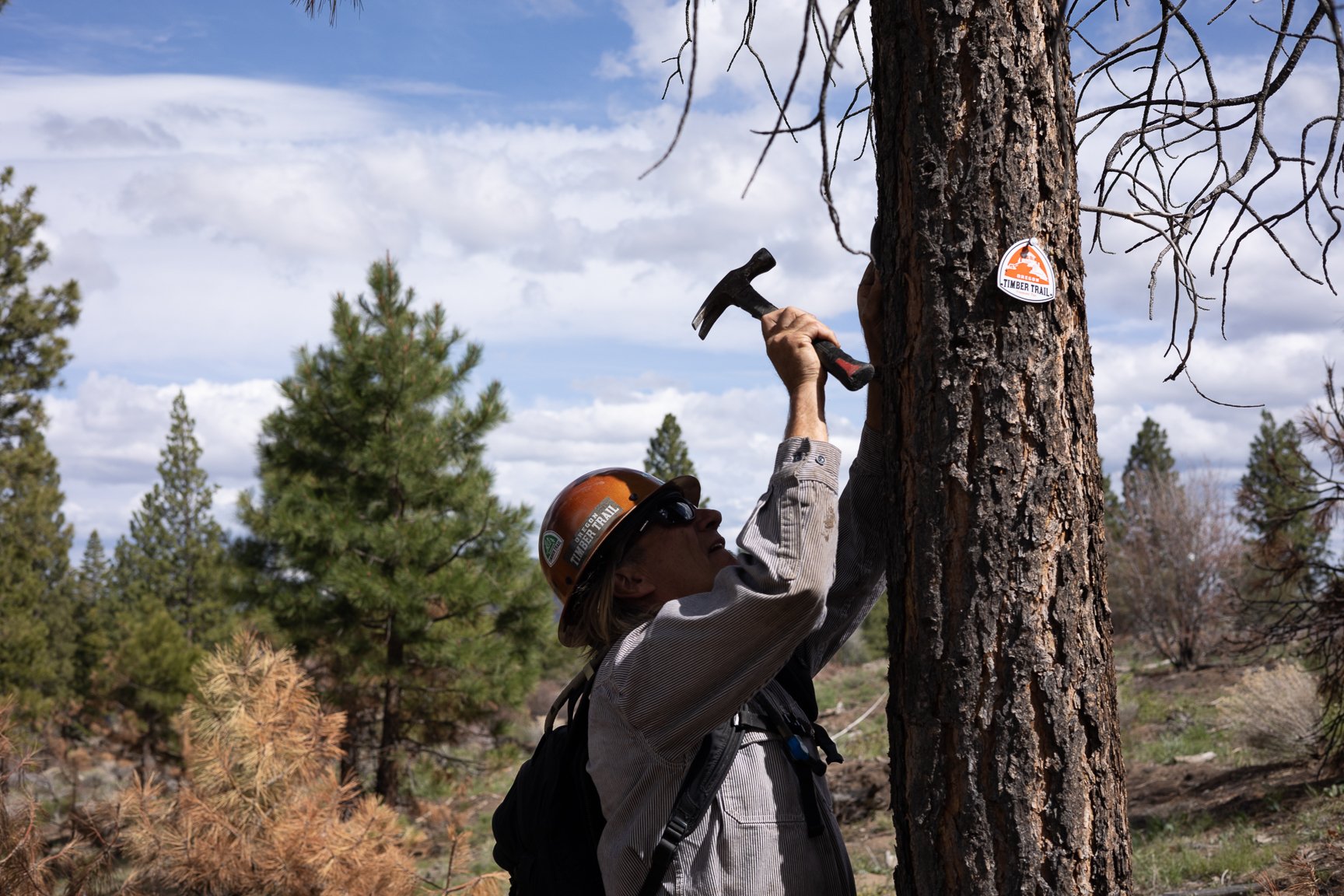
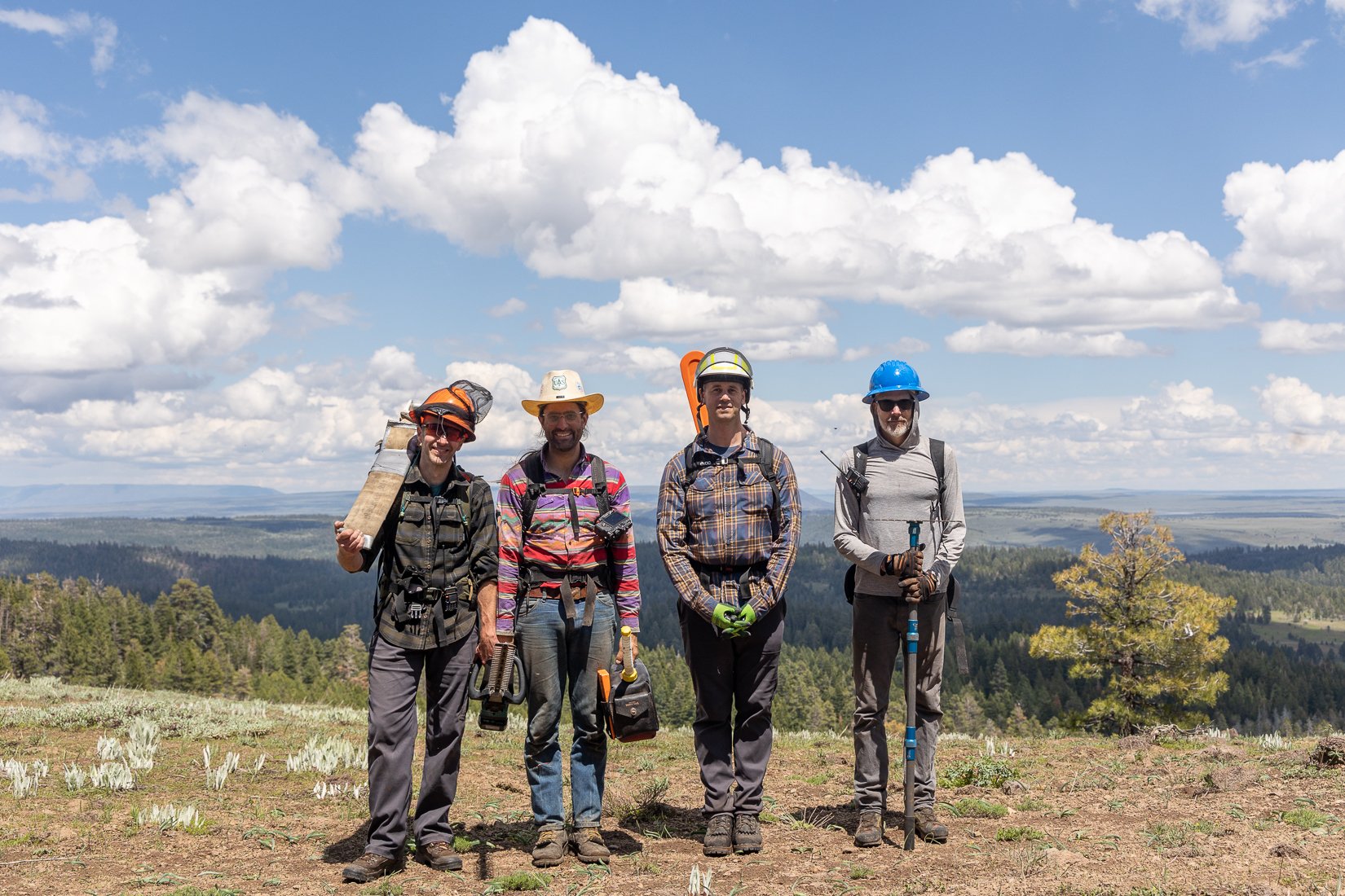
The OTTA will donate 20 free FarOut subscriptions to riders traveling the route in early summer of 2024, who will commit to making detailed comments where navigation of the route is confusing or the GPS track is wrong.  This will tie in with our ongoing Signage project where we are adding trailhead signs and trail markers to improve rider confidence about the route location.  This is especially important for the southernmost 200 miles of the OTT where some trail sections have sparse use and the tread is faint.


FarOut release for the OTT will probably be late winter, 2024.  If you are interested in being a trail navigation ambassador this summer and get free use of the app as appreciation, or have questions about doing so, you can contact me at chip.andrus@oregontimbertrail.org.

Fifteenmile Stewardship Event #2 Recap

Fifteenmile Stewardship Event #2 Recap

The Oregon Timber Trail has been volunteering for the past three years to maintain the lower Fifteenmile trail, a three-mile section that serves as a vital link for connecting to the 44 trails system from towns like Dufur on the east side of Mt. Hood. Although technically not part of the Oregon Timber Trail, it's an integral part of our weekend loop, Stiletsi and the White Crane. 44Trails works hard to maintain trails such as Surveyors Ridge, Dog River, Knebal, Eightmile, and Fifteenmile.

This past Saturday, nine of us convened at the trailhead at 9 am, enjoying coffee, donuts, and a captivating talk from Chip Andrus, our event organizer, about the area's native history and an overview of our day's tasks. Our focus was clearing fallen logs and cutting back vine maple growth. Recently, the Forest Service decommissioned two bridges over Fifteenmile Creek because of safety concerns. Instead of rebuilding them, they rerouted the trail along the creek's north side, offering a more engaging and challenging path. Chip had already scouted and marked a potential route, incorporating sections of a historic trail.

Fremont Stewardship Event #1 Recap

Fremont Stewardship Event #1 Recap

Over the Memorial Day weekend, a diverse group of 21 volunteers convened at the Warner Canyon Ski Lodge. Our group ranged from seasoned veterans to fresh-faced volunteers. We had folks from Portland, Bend, Sisters, and even a Reno/Tahoe contingent. While our initial plan to clear Crooked Creek was thwarted by lingering snow, we shifted our focus to snow-free sections like Bear Creek and Cox Pass. We logged 593 hours volunteer hours valued at approximately $20,000. We scouted, logged out, and brushed 23 miles of trail.

Navigation Updates: New Signage

In 2023, thanks to a grant from the Oregon Trails Coalition, the Oregon Timber Trail Alliance (OTTA) embarked on a project to enhance signage along the Oregon Timber Trail. This initiative aimed to improve navigation, particularly in areas impacted by wildfires. If you've hiked or ridden the trail before, you know how tricky navigation can be, especially in the wake of these natural disasters. But fear not, the OTTA is committed to making the trail more accessible to riders of all skill levels. Better signage will significantly enhance the Oregon Timber Trail experience.

Here's a rundown of what we've accomplished so far and what's in store for this year. Dan Sharp is leading the charge, rallying volunteers to assist in scouting and installing reassurance badges and trailhead signs as needed. Our approach is guided by the principle of installing signs judiciously, as advised by the US Forest Service. The goal is to strike a balance between providing necessary guidance and preserving the trail's natural beauty.

Our signage objectives are clear:

  1. Keep signs to a minimum, strategically placing them at crucial points along the trail without overwhelming its natural surroundings.

  2. Present a consistent and positive image that reflects the essence of the Oregon Timber Trail.

  3. Guide and inform trail users effectively, ensuring both northbound and southbound riders are equally supported.

You might be wondering what signs we're talking about. The main task involves attaching 3.5 inch "bloated triangle" reassurance badges to trees…

…eliminating the need for new posts. If there's no tree available and extra signage is required, we'll use carsonite posts with OTT badge and directional arrow stickers to show the way. Apart from these badges, we'll also be updating Destination and mileage signs, typically found at trailheads or major intersections. These signs, often in poor condition, will be replaced with new wooden ones crafted using a CNC router.

Starting mid-May through October, we'll be out in the field scouting and installing signs, with a focus on areas most affected by recent fires. We'll also be doing some installation during official trail work events, and if you're keen to lend a hand, reach out to Dan at dan.sharp@oregontimbertrail.org

Check out our sleek new reassurance badge design above —you'll spot plenty of them if you're hitting the trail this year. Let's make every ride on the Oregon Timber Trail an adventure to remember!

Oregon Outback Designated Largest International Dark Sky Sanctuary 

The Southern portion of the Oregon Timber Trail is one of the most remote sections on route. Tracing through Lake County Oregon it is part of the largest contiguous dark sky zone in the lower 48 United States. According to recent census numbers Lake County, Oregon is home to a population of around 8,000 people. That’s roughly 1 person per square mile. Compared to the city of Portland’s ratio of nearly 4,500ppl per square mile - thats a lot of open space and dark skies. And I don’t know about you, but gazing up at the stars after a long day clearing or riding trails might be one of the most satisfying experiences this little human critter has ever known.

Oregon Timber Trail: Gravel Edition

A rider of the Oregon Timber Trail will spend well over half of their time on singletrack trails.  Some of that singletrack is technical, isolated, and comfortable only on a bike with some give or suspension.  Riding the trail portions of the OTT takes some grit and a level of comfort riding single track for hours a day. For those with a similar sense of adventure but who want to avoid trails, we've mapped a gravel version of the OTT, albeit it’s only a beta version.  It roughly parallels the original OTT but sticks mostly to dirt and gravel roads that have little vehicle traffic.  Short stretches of easy trail and pavement tie it all together.  The scenery is just as striking but the chance for misadventure is less.

Camaraderie > Competition

Photo: Gabriel Amadeus, Day 1 on the Fremont Tier

It may still be winter but if you’re anything like us you’re already dreaming up what bike shenanigans you’ll be getting into this summer. Well, save the date because we’re happy to announce that The 2024 Oregon Timber Trail Race and Tour will meet up for a group depart on Saturday, July 13th at Cave Lake in the Modoc National Forest. Learn more about this year’s event and start planning now. In the interim, we invite you to take a peek into the memory palace of Timber Trail alumni and board member Everett Ó Cillín as they reminisce on their experience setting out on the trail for the first group depart.

~ Cue the flashback sound effect ~


In March of 2021, I heard rumor that the Oregon Timber Trail would be hosting its first grand depart that July. I immediately started planning. Although I’d been touring by bike for nearly two decades at that point I was still only confidently mediocre when it came to technical mountain biking. I started training and with the help of some sweet friends was able to build out a full hardtail touring setup with hand me down parts and donated components. Most of my bags were already rackless and seamlessly transitioned to the new setup. Serendipity. If you’re curious about my setup for the 2021 Timber Trail you can check it out alongside all the other rigs from that year over on bikepacking.com.

Photo: Jay Melena

After an incredible experience at the group depart for the Baja Divide in 2017 I was excited for another opportunity to play leapfrog out in the woods with a few dozen new friends. It didn’t even occur to me that I was signing up for a race until I went to register. I had no intention of competing for time, it’s just not my thing. I’ve always been more a fan of camaraderie and collaboration over competition, but I also know the two aren’t mutually exclusive. I filled out the form, entered into the non-binary category, and began feverishly researching the route. 

Several months later I was petting cute dogs and eating barbeque with my fellow riders at a county park in Lakeview.  The race organizers had gotten the community together for a lil’ meet and greet the night before the start. We got to chat up all sorts of folks who were in some way or another connected to the Timber Trail as they shared stories about their own experiences along the route, from stewards who worked hard to maintain the trail to regional bike shop owners who wanted to get to know some of the faces they would be seeing over the next few days and weeks. The next morning we piled ourselves and our gear into a series of cargo vans and headed south to the start point at Cave Lake. 

One by one we unloaded our bikes and made our way out to a little island-like thumb that jutted out into the lake where we mingled, got our portraits taken, and fussed about with our gear. As the last of us rolled in Gabe gave a tender heartfelt welcome to the group reading from a library copy of Home Ground. Pardon me for quoting my own Instagram post like a cringy elder millennial, but I remember the message being something like, “A trail is an intergenerational multi-species conversation. A community. A network of space and time connecting people, places, and ideas across a landscape. A chance to deeply engage with each other and the more than human world.” There was a lot of head nodding among the group as we listened and I felt a genuine sense of connection and community in that moment. That feeling stuck with me for the remainder of the ride and the sentiment continues to inform the way I travel to this day.

Photo: Conan Thai, Dinnertime Tarot

It was such a joy getting to meet everyone before setting off, it set the tone for the trip as a whole. Due to varying unforeseen circumstances (record high temperatures, wildfires, etc) a lot of us “scratched” from the race within the first several days but continued to ride. A celebratory act for some and bittersweet for others. I began to notice a sense of collective ease as riders found their own pace. I was lucky enough to fall in with a really solid group who managed to camp together most nights without even planning it. We rode when we wanted to, and stopped when we didn’t. Pushed ourselves when we felt a boost. We snacked and swam. Read each other’s tarot. It was a delight. 


I love riding with people, but I also need a lot of alone time. That's one of the reasons I love bike tour, it’s something we can do alone together. I spent most of the tour riding with Max Morales, Geo McGuts, and Conan Thai - each of whom wrote beautifully of their time on the trail so I won’t go into a full recap here. In fact, I got so sidetracked looking for those links that I no longer have the attention to finish this write-up. I think I’ll start planning my summer Hood Tier tour instead. Hope to see you on the trail this summer!

Photo: Conan Thai, Lunch Break Swims

Trails Day at the Oregon State Capitol

Our friends at the Oregon Trails Coalition have organized their first-ever Trails Day event at the Oregon State Capitol in Salem this Monday, February 12th. The day-long event will gather stakeholders from around the state to join in community with one another and prepare for a chance to connect with legislators and staff to share the love of trails and strategize how we can collectively maintain current trails and plan for future access.

As part of the Oregon Trail Coalition’s Signature Trails Program, the Oregon Timber Trail Alliance will be sending folks to participate alongside fellow stakeholders to support their Trails Day Platform:

  • Oregonians love trails. 74% of Oregonians use local trails and are happier, healthier, and more connected to their communities because of it!

  • Oregonians want to keep our trails open! Protect Oregon Recreation with a legislative fix to recreational immunity in the 2024 session.

  • Oregon is home to iconic landscapes and deserves world-class trails! The Oregon Signature Trails Inventory shares a vision for how bold investments in trails can create bold returns for Oregonians and Oregon communities. Let’s chart a path forward for investing in our trails!

For more information on Trails Day at the Capitol or to register to join visit the Oregon Trails Coalition’s website.

UPDATE 2/15

Last week the Senate Judiciary Committee held a work session on SB 1576 and unanimously voted to adopt what is now the -10 amendment intended to provide a temporary fix to recreational immunity. It retains all the language that City County Insurance Services has said, if passed, will lead to the recision of their guidance to close trails. While the Senate Judiciary Committee voted unanimously to adopt the amendment, the bill has not yet passed out of committee. For more information visit Oregon Trails Coalition.

Snapshot 2024

Bunchgrass Ridge, 2021

2024 got off to an icy start but the Oregon Timber Trail Alliance is warming things up with a sunny snapshot of some of the exciting initiatives and events we have planned for the year ahead. 

Save the Date

Join us on Fremont Tier in southern Oregon this spring where we will be hosting two stewardship events with trail work parties on May 24-26th and June 14-16th. Stewardship events are a great way to get outside, learn more about the trail, and meet other volunteers. Join your fellow trail enthusiasts in May to clean up the infamous fallen tree section along the southernmost 40 miles of the route. Sawyers rejoice, we’ve got a lot of lumber clear. Then join us again in June when we return to the Freemont to continue what we started. 

So join us this spring to explore the most isolated and striking section of the Oregon Timber Trail. Make a new friend, enjoy delicious camp dinners and beer on us, and learn all the dirty details of how trails are made and maintained. These events are open to volunteers of all experience levels, especially those certified to operate chainsaws. Keep an eye out for more information on other upcoming events and workshops announced later this year.

FarOut

Imagine having a reliable navigation app for your phone that also shows real-time information on route conditions. The FarOut app does just that and will soon be available for hiking or biking the Oregon Timber Trail. The FarOut library has a collection of over 200 hiking, mountain biking, and water trails worldwide. The Oregon Timber Trail will be available on the FarOut App by the end of February for a one-time fee of $25.

TrailBlazing

Our signage initiative is gaining ground, enhancing your trail experience with reliable point-to-point navigation markers. These markers will support trail users by providing reliable on-trail navigation, adding peace of mind for those who don’t want to spend their time staring at a cycling computer. Starting in early summer we'll be looking for volunteers to help install these markers, especially along the most rustic 200 miles of the trail. 

Continued Route Improvements

Like all of us, trails change with every passing year. That is why we’re committed to continually improving the accuracy of our GPX tracks for a smoother trail experience. Throughout 2024 we will continue to refine alternate routes around hazardous or unridable sections of the trail as well as provide more options for shorter loop rides along the main route. As we continue to make these updates we will also be updating our website for easier access to all current and updated GPX tracks, ensuring you have all the information you need to plan your next adventure along the Oregon Timber Trail.

There is so much in store for 2024 and we can’t wait to see you on the trail!

Thank You to Our Generous Donors

Thank You to Our Generous Donors

As we start the new year, we find ourselves reflecting on the incredible support we've received from our dedicated community of outdoor enthusiasts and trail advocates. The success of our year-end giving campaign has surpassed expectations, and we are immensely grateful to everyone who contributed to our cause.

Esker Cycles Goes Cog Wild on the Oregon Timber Trail

Esker Cycles Goes Cog Wild on the Oregon Timber Trail

Cog Wild Bicycle Tours has been a long-time supporter of the Oregon Timber Trail Alliance, so when Cedar Keyes from Esker Bikes proposed giving away a brand new Hayduke bike and breaking it in on a multi-day bike packing trip on a segment of the OTT to raise money for the OTTA, we quickly got on board.

Cedar and Kirin, Cog Wild’s Co-Owner and (now former) OTTA board member, had a great time thinking over routes. We knew that we wanted to base the trip out of Bend or Oakridge since we’d have a shuttle that would allow a point-to-point ride and medical and technical support throughout the ride if needed.

Flowers in the Burn

Flowers in the Burn

Stewardship events are at the heart of our work. In addition to helping maintain a vast network of trails, these events offer opportunities for learning and camaraderie in the fresh forest air. A chance to form deeper connections with the landscape and with the communities that have made this trail what it is today.

As the year comes to a close, board member Chip Andrus offered to share some reflections on prepping for our first trail work party of 2023…

Oregon Timber Trail Alliance Welcomes New Board Members

Oregon Timber Trail Alliance Welcomes New Board Members

Autumn is a time of transition and the Oregon Timber Trail Alliance met the changing of the season by bringing on some new faces to the Board. In early October we gathered at the Warner Canyon Ski area near the Fremont Tier to welcome back long-time OTTA enthusiast Mike Vanderberg as board president and introduce Nancy Serrano, Chris Pillion, Steve Brook, and Everett Ó Cillín to our working board.

Oregon Outdoor Recreation Summit

Oregon Outdoor Recreation Summit

The Oregon Timber Trail Alliance (OTTA) had the opportunity to attend the Oregon Trails Coalition (OTC) Annual Meeting on Friday, November 3, 2023. The theme of this meeting was What’s Next for Signature Trails. The OTTA was invited to share what we’ve been up to this last year and where we could use more support from other participating organizations. We also got to hear updates from others in the cohort on what they have been up to and how we can strategize new systems of supporting each other’s efforts to build better trail experiences across the state.

Join the Oregon Timber Trail Alliance board of directors!

Join the Oregon Timber Trail Alliance board of directors!

Applications are now open to join the 2023 Oregon Timber Trail Alliance (OTTA) board of directors.

We’re looking for engaged, and enthusiastic new members who want to help support the mission of the OTTA. You can read more about the board position and apply
here.

Fremont Stewardship Event #3 Recap

Fremont Stewardship Event #3 Recap

From June 29 to July 2, 2023, the Fremont Stewardship Event #3 took place, with Willow Creek Campground as our basecamp. Thirteen participants joined forces, collectively contributing 415 hours of labor. Our focus areas encompassed the Crane Mountain National Recreation Trail, specifically the trail segment from 161 to RD NF 4011, as well as a three-mile segment between Rogger Trailhead and Hwy 140. We successfully logged out approximately eight trail miles and felled 300 trees.

10 Memorable Mountain Bike Rides in Oregon’s Old Cascade Crest

10 Memorable Mountain Bike Rides in Oregon’s Old Cascade Crest

Traveling the Santiam Canyon is a bit like traveling back in time. As you head east from the Willamette Valley, you ascend into the Cascade Range foothills—where the Santiam Canyon begins to envelop the Santiam River and its tributaries in basalt-strewn, old-growth forests of Douglas fir and mountain hemlock. These heavily forested ridgelines and valleys are home to the Old Cascades—a remote region that’s home to some of the most cherished trails along the whole Oregon Timber Trail. 

2023 Route Updates

2023 Route Updates

We’ve recently mapped out bypasses to provide alternative routes to sections of the main route. A bypass could be useful to steer you clear of active fires or fire closure areas. Excessive snow or downed trees on the trail may be another reason to choose to use a bypass. If a section of the main route is beyond your biking skills or endurance, then a bypass gives you a way around that section. Finally, a bypass may be useful when you want to create a loop to ride.