
Optimal conditions can be hard to predict, but all signs point to this year being prime. The last remnants of snow are melting and the mosquitoes await you! We’ve been busy logging out the worst blowdown, temperatures have been mild, and water is plentiful. If you’ve been holding out for ideal conditions to ride the OTT, this just may be your year to ride. If you balk at severe blowdown or miles of hike-a-bike, we’ve been scheming ways to provide options. Many of us believe that on-bike suffering is optional. So…

We have just mapped out several new bypasses that offer alternative routes to different parts of the main route. Bypasses can be really helpful in avoiding active fires or areas closed due to fire. They can also come in handy when there's too much snow or fallen trees on the trail. If a particular section of the main route is too difficult or long for your biking abilities or endurance, a bypass allows you to go around that section. Lastly, bypasses can be useful to create a loop for your ride.

photo: Conan Thai
Crane Mountain Bypass
The Crane Mountain bypass was defined in order to get around the excessive number of downed trees that currently clog the trail up and over Crane Mountain. These logs should be removed by the end of 2024. The bypass is 100% gravel roads and skirts to the east of Crane Mountain, while the main route is 85% singletrack. The main route and the bypass are about the same distance but the bypass has 1700 fewer feet of climbing. The bypass goes by two rustic campgrounds, each with a year-round stream.
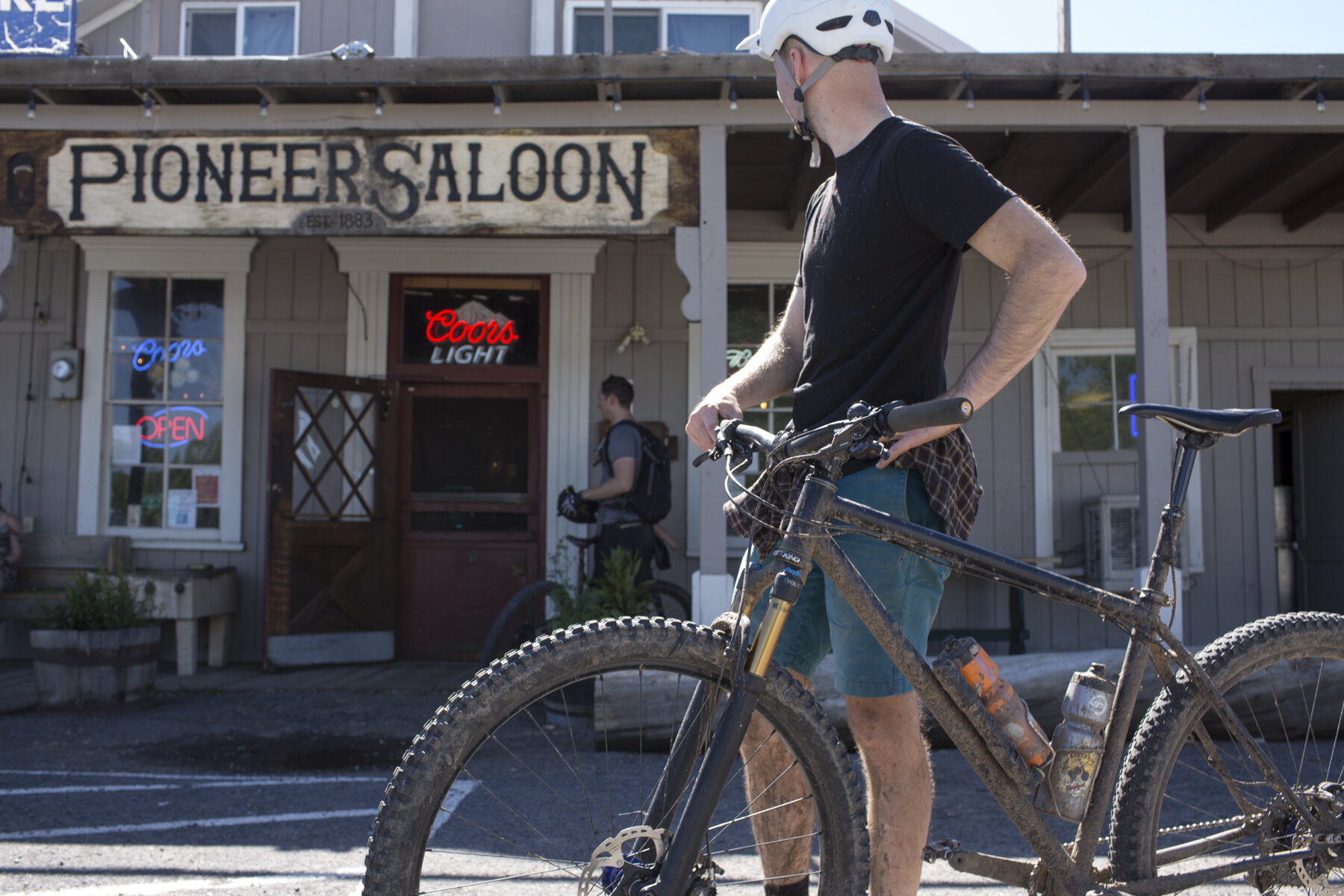
photo: Daniel Sharp
Morgan Butte Bypass
The Morgan Butte Bypass provides an alternative to the gravel roads and singletrack between Highway 395 and the Chewaucan River. The route goes north and follows paved roads from the highway to the town of Paisley and then goes up the paved Chewaucan River road. The bypass is about the same length as the main route but has 3500 feet less climbing. The main route is 73% singletrack while the bypass is all pavement. Paisley is a handy stop for food, lodging, and bike repairs.
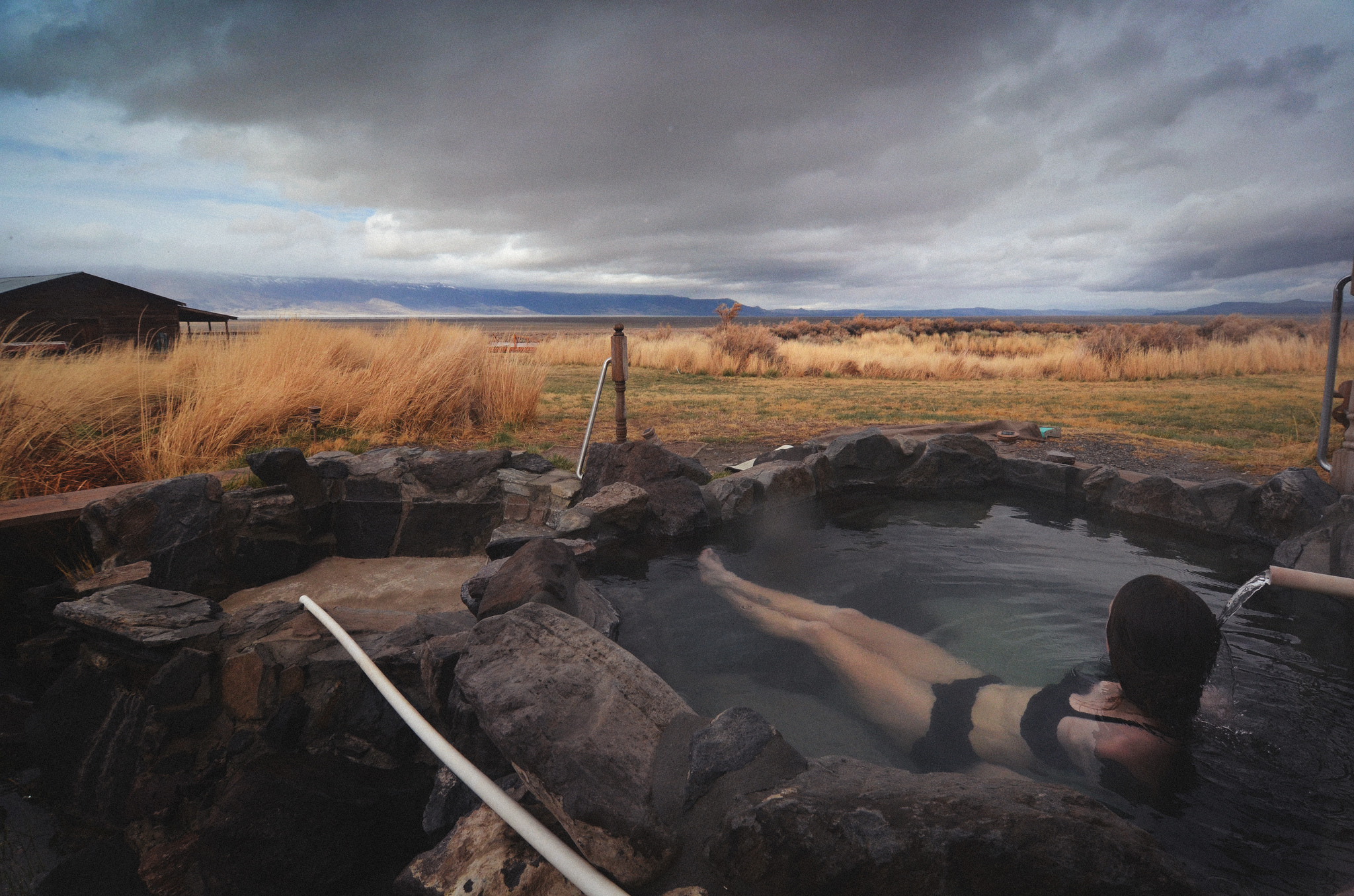
photo: Gabriel Amadeus
Winter Ridge Bypass
The Winter Ridge bypass traverses along the valley below the ridge and goes through the communities of Paisley and Silver Lake. The bypass is 10 miles longer than the main route but has 2600 fewer feet of climbing. It is mostly on paved roads while the main route is all challenging singletrack. Paisley and Silver Lake both have food and lodging. The bypass also goes by Summer Lake Hot Springs and the Cowboy Dinner Tree.
Yamsay Mountain Bypass
The main route up and over Yamsay Mountain is one of the most isolated sections of the Oregon Timber Trail. The main route is 41% singletrack and has 4000 feet of climbing. The bypass is about the same length as the main route but has only 2000 feet of climbing. It is 59% gravel roads with the remainder paved roads. These roads are on the north flanks of Yamsay Mountain and pass by several year-round streams.
Crescent to Cultus Bypass
The Crescent to Cultus bypass was developed to avoid the closure associated with the 2022 Cedar Creek Fire. It skirts to the east of the fire closure, connecting Crescent Lake to Cultus Lake. It is about 100 miles shorter than the main route and has 10,600 fewer feet of climbing. It avoids the challenging singletrack of the Middle Fork trail and the Bunchgrass Ridge trail, but also forgoes some of the most scenic sections of the Oregon Timber Trail. The main route is 74% singletrack while the bypass is about half pavement and half gravel road. The bypass takes in a number of lakes and reservoirs, as well as car campgrounds and small resorts.


Photo: Daniel Sharp
Oakridge to McKenzie River Trail via Aufderheide Bypass
The Oakridge to McKenzie River Trail bypass provides a western route around the Cedar Creek Fire. The route follows paved roads out of Oakridge and over the divide to the McKenzie River. It picks up the McKenzie River trail and follows the trail north to intersect the Oregon Timber Trail at Fish Lake. The bypass is 89 miles shorter than the main route and has 11,000 fewer feet of climbing. The bypass is 25% singletrack while the main route is 63%. The bypass goes through the community of McKenzie Bridge, which has food and lodging.
Idahna Bypass
The Idahna bypass provides a potential way around the closure associated with the 2020 Lionshead Fire. The bypass is west of the main route and connects the Old Cascade Ridge to the town of Detroit via a network of gravel roads. From Detroit, the bypass follows a paved road up the Breitenbush River 9 miles, at which point it intersects the main route. The bypass is about the same length as the main route but has 2600 fewer feet of climbing. Detroit has a market, restaurant, and lodging. The main route beyond Detroit still remains closed to entry but the Forest Service may open up the road in 2023 and this would provide riders of the Oregon Timber Trail a way to get to Timothy Lake.
Post Canyon Trails Bypass
The Oregon Timber Trail takes in the mountain biking and multi-use trails of Post Canyon between Kingsley Reservoir and Hood River. These trails offer some enjoyable and challenging singletrack. The trails are usually ridden downhill (generally south to north) and are busy in the summer. If you ride up the trails against normal traffic flow, you are at risk of encountering another rider at high speed. Plus, many of those trails are just too steep to ride uphill and you’ll end up walking your bike. The Post Canyon Trails bypass sticks to logging roads and will get you from Hood River to Kingsley Reservoir, where you then pick up the main route. Even if you are instead traveling northbound, the bypass might have appeal if you want to avoid riding the moderately technical singletrack.