
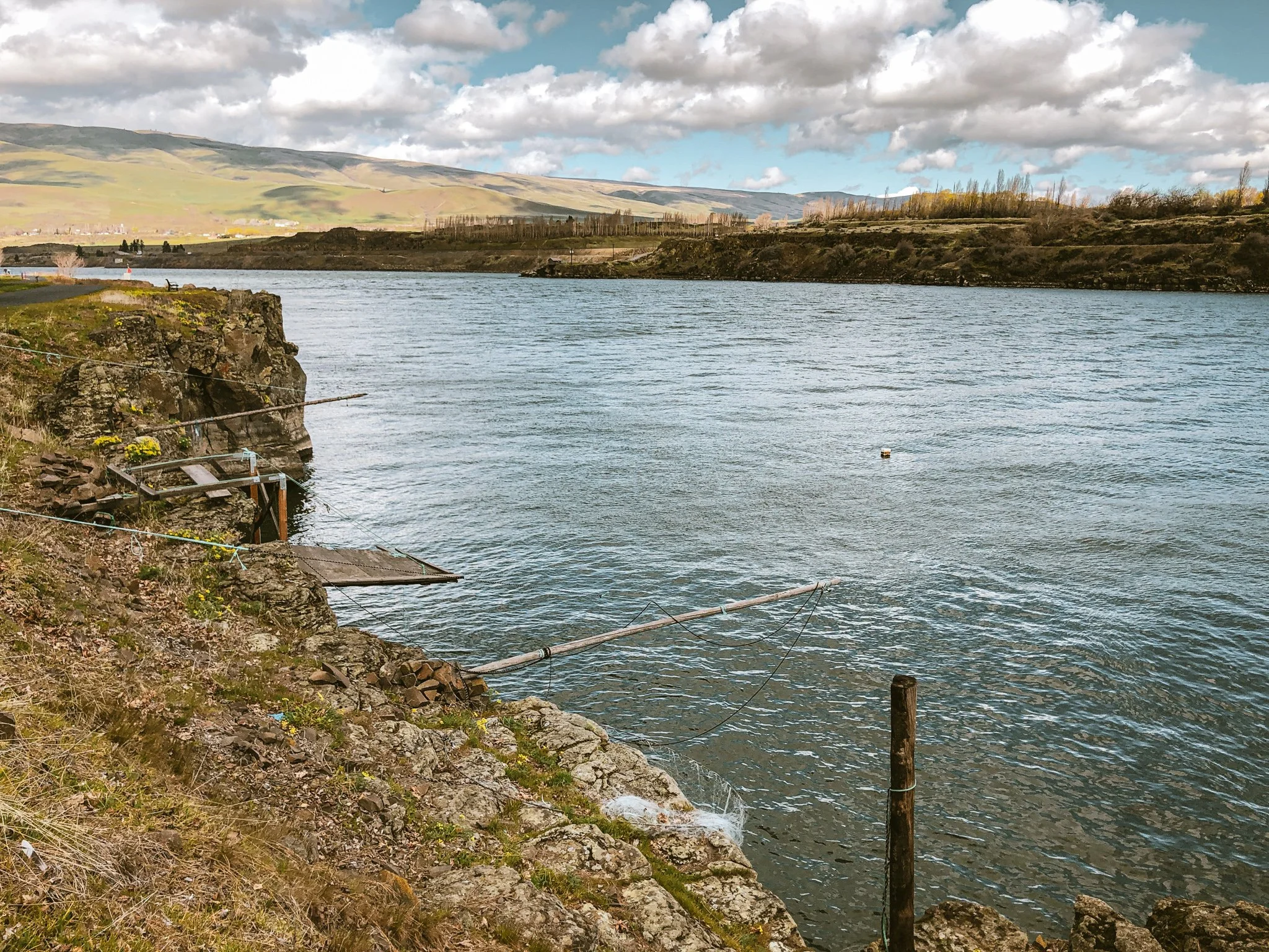
Dustin Klein and I hatched a plan to ride the Oregon Timber Trail's newest published route 'Stiletsi & the White Crane', a Mt. Hood tier loop which links The Dalles, Dufur, 44 trails, Parkdale and Hood River through wild and scenic backcountry singletrack corridors. The 143 mile, 14,500 foot circuit roughly follows Wasco and Wishram trade routes used by two namesake native chiefs to guide John C. Fremont's 1842 expedition through the territory. Sections of the route were already familiar to me, but I had never experienced them all together, let alone from a multi-day perspective. From a distance, the weather looked stable. We were two months into a historic drought. So when the forecast shifted to rain over our entire first day, I was a bit anxious.
What could go wrong?
Day One
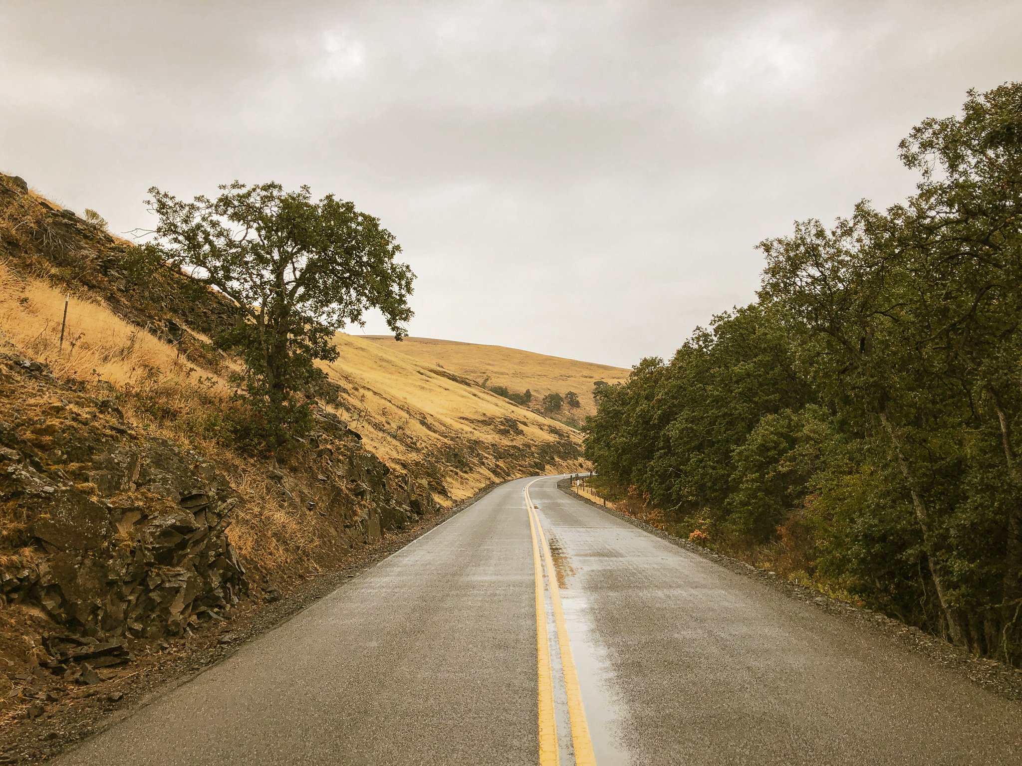
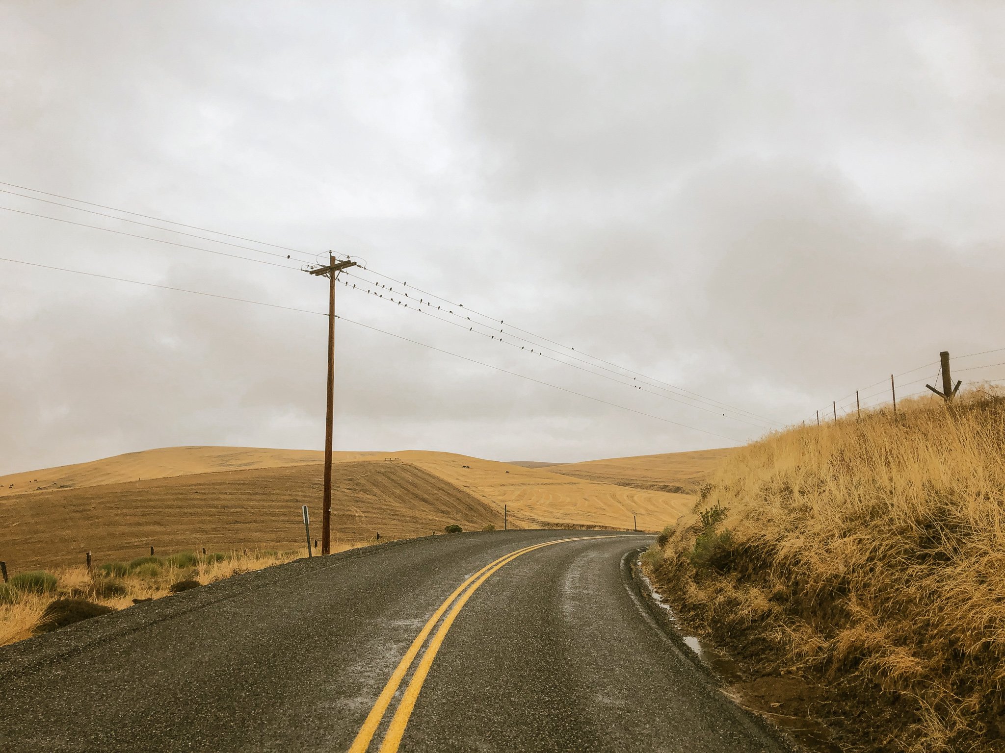
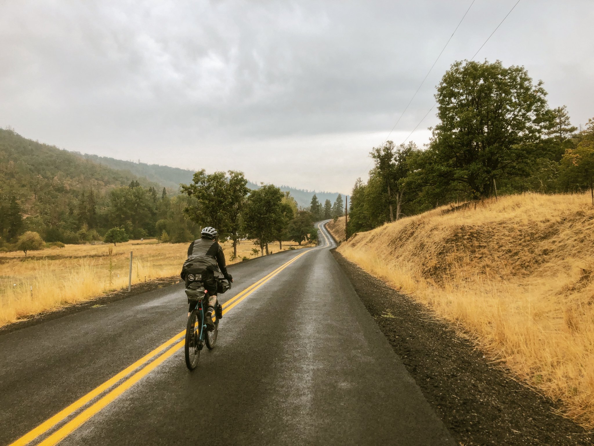
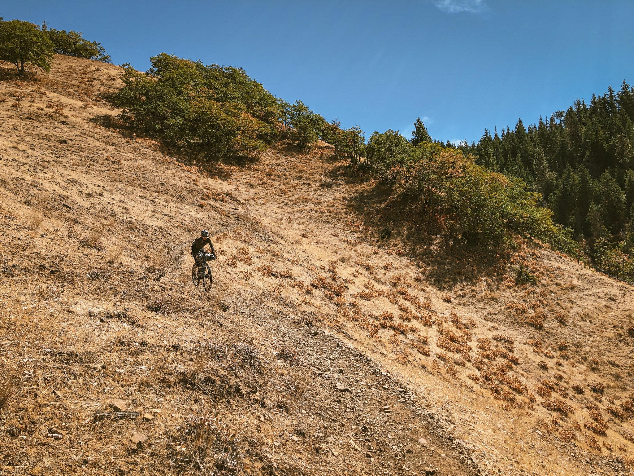
We set out on a three-day timeline, gear stowed and cinched, layered in rain shells, knee warmers and gloves, departing unceremoniously into a steady drizzle. Truth is by mid-September, it had been so dry for so long in the Pacific Northwest, the arrival of rain came as a relief. Climbing gently out of The Dalles into lower Eightmile canyon, traffic fell away almost immediately. The wet weather muted Wasco County's rolling grasslands, the rippled hills and drainages saturated with a quiet melancholy. We fell into an easy rhythm. The bike felt surprisingly nimble spinning past empty farmsteads and flaxen wheatfields, through the rural districts of Emerson and Boyd en route to Dufur, our only scheduled stop of the day. Kramer's Market, a solitary downtown storefront and welcome waypoint, offered a sit-down lunch and the company of other cyclists en route to Tygh Valley.
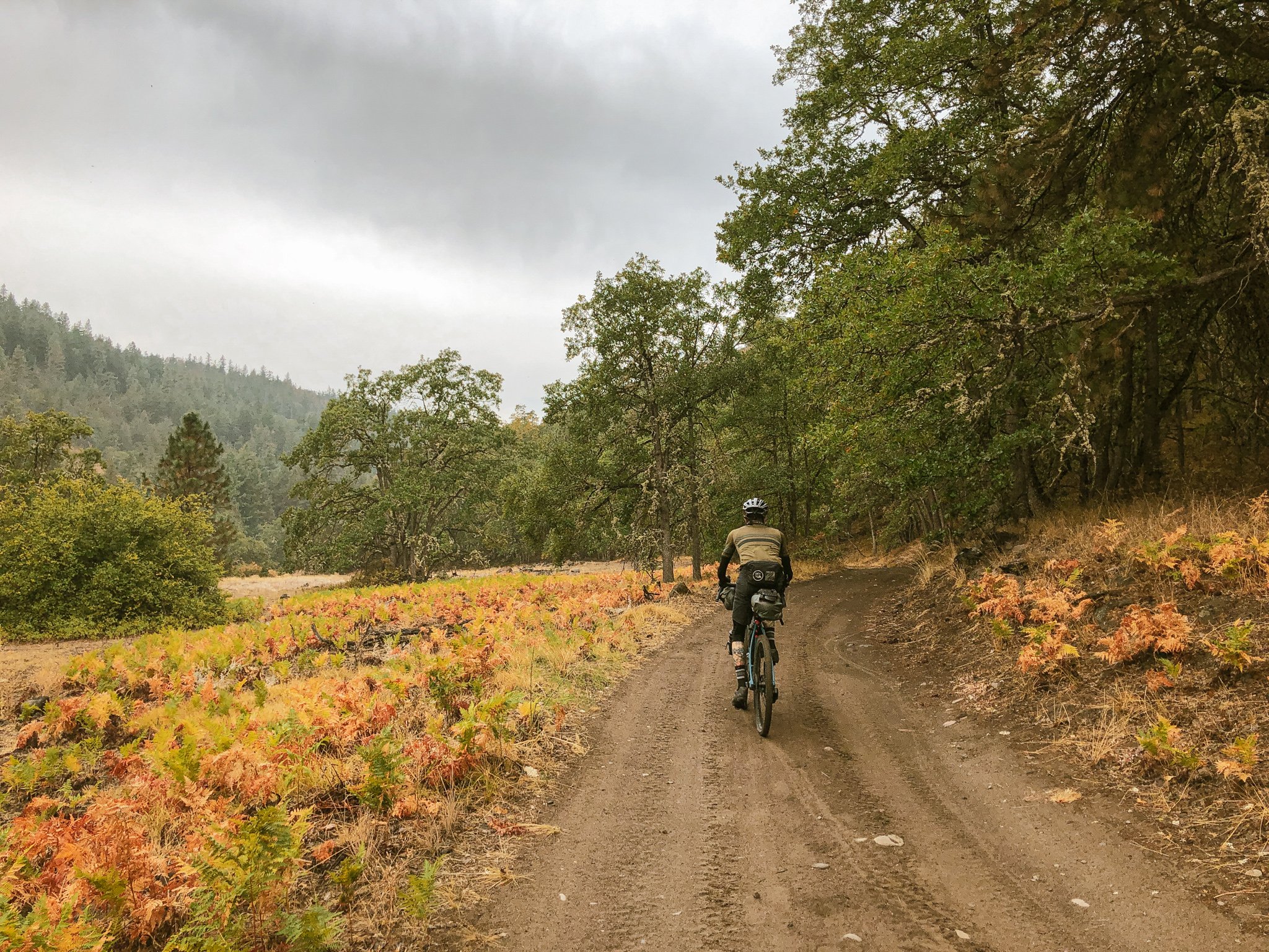
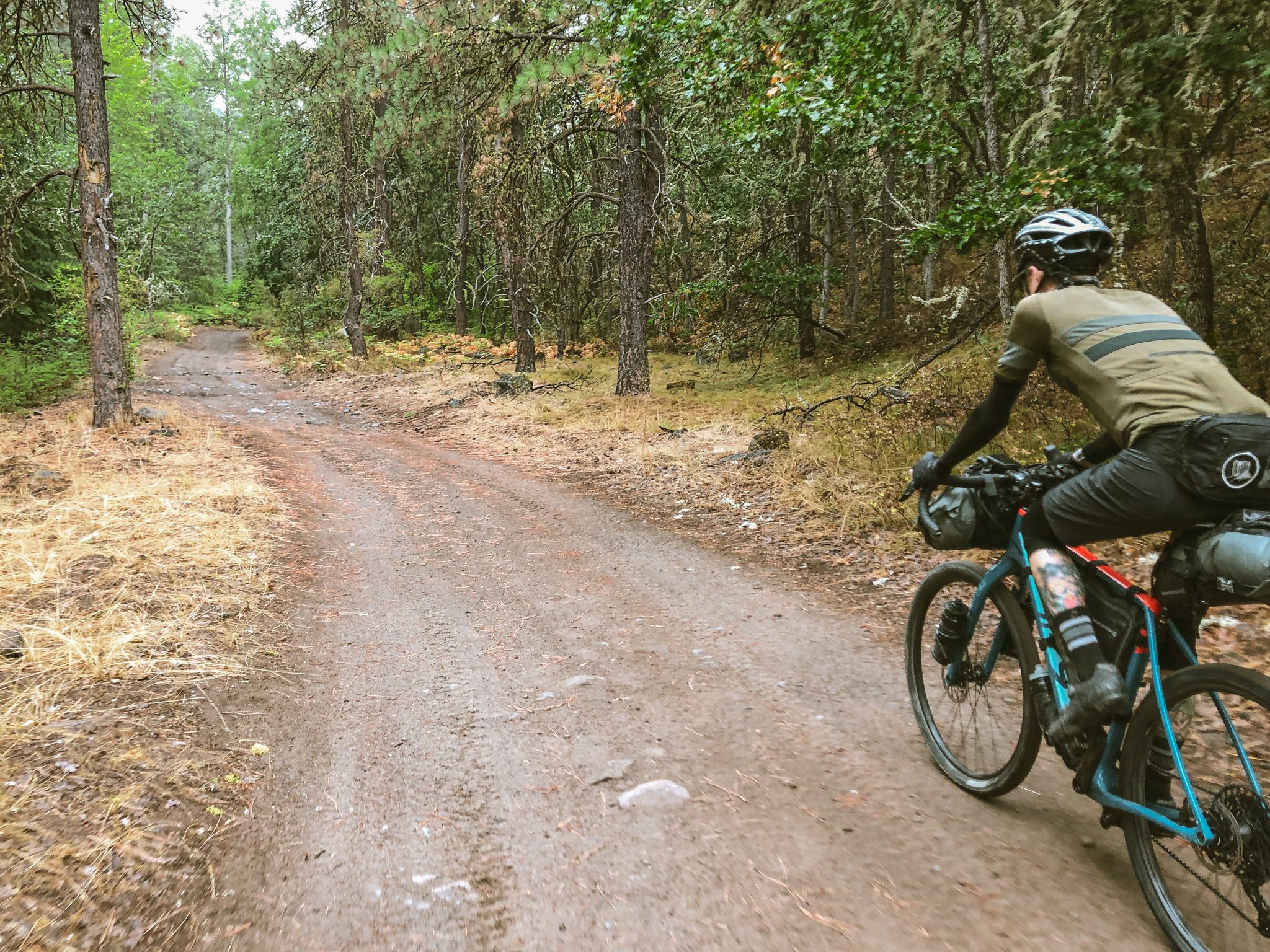
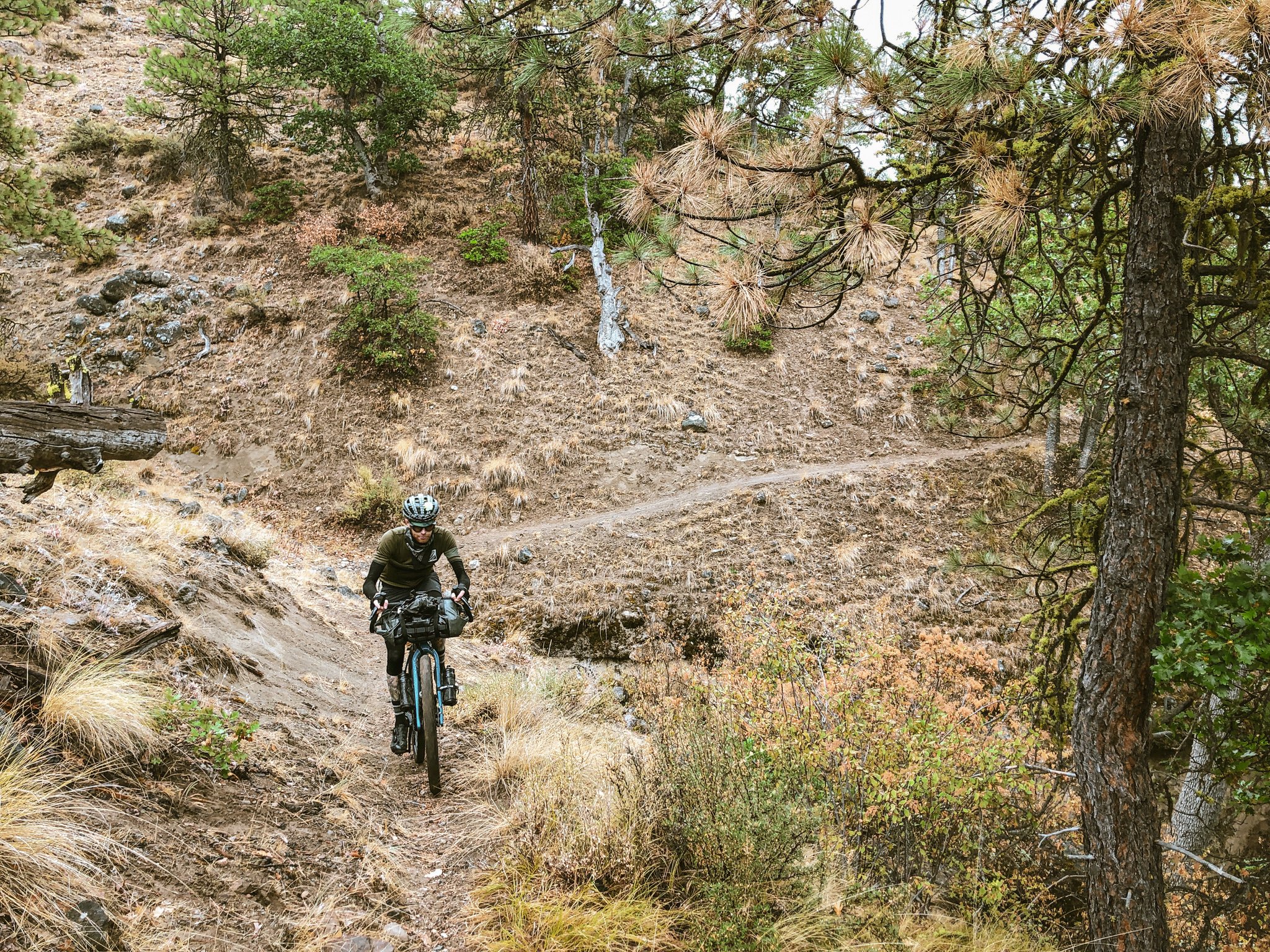
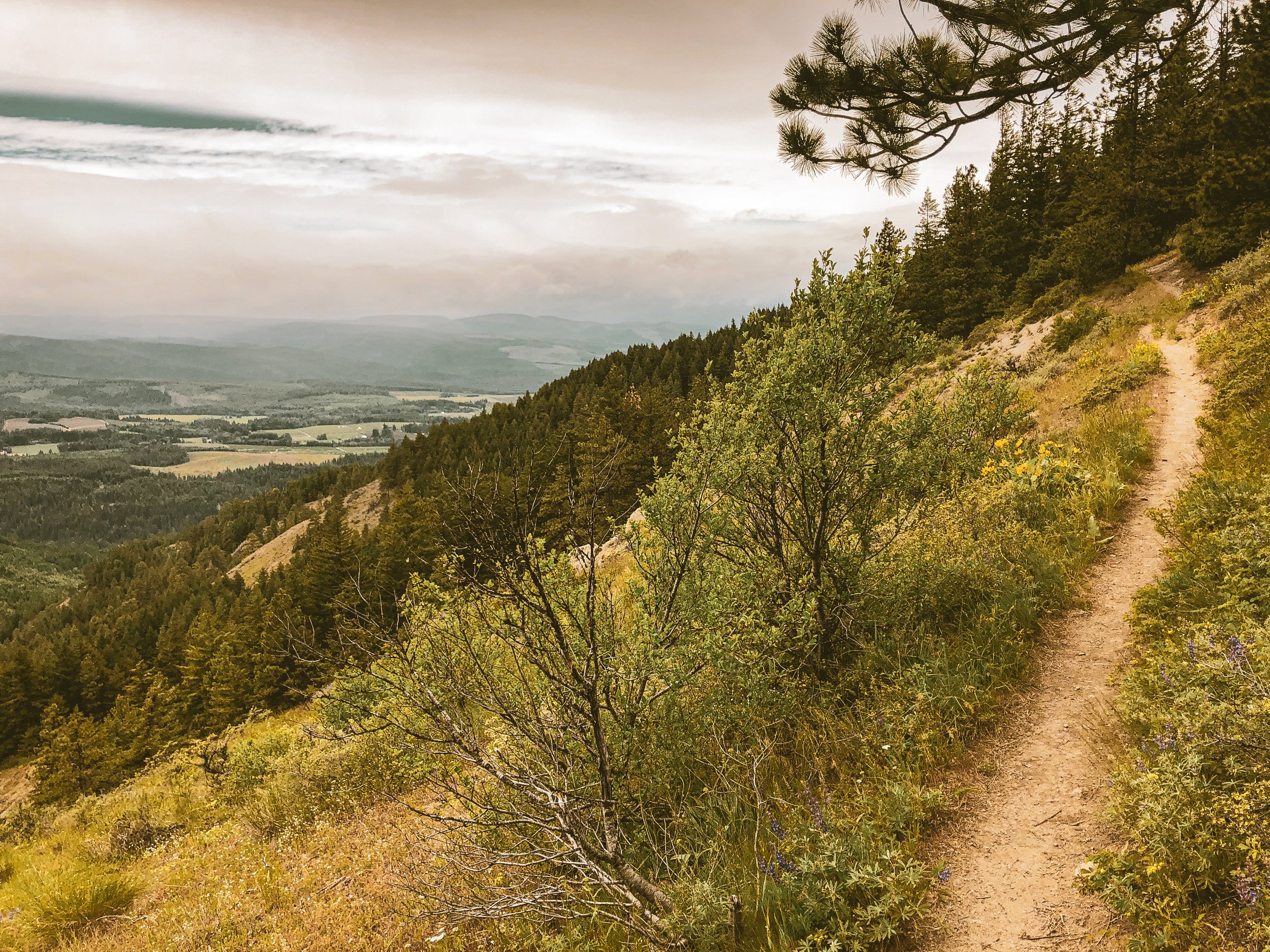
I was uneasy about the persistent rain as we rolled out of Dufur. The bulk of the day's climb still lay ahead, the weather appeared murkier where we were going, 21 miles west and 3300 feet up to Fifteenmile campground. The numbers sounded straightforward, but the reality of loaded trail climbing had reshuffled my understanding of distance and elevation. The rain thankfully began to subside by late afternoon as we eased into the sandy hillcountry. Passageways of gnarled oak and primitive Jeep trail crisscrossed stubborn watercourses, ultimately revealing the sublime singletrack of lower Fifteenmile canyon. A modest climbing pace allowed us to absorb the rich detail of the scrub oak savannah, basalt ravines, narrow canyonforms and massive rock outcrops lining Springer Ridge to the south. After assessing a sheared rear derailleur battery casing, we debated camping at the Cedar Creek junction, a bit short of our target. The sheltered setting and abundant creek water were tempting but a significant stretch of steep, difficult climbing still lay ahead. Once it was determined things were in order, we opted to keep moving.
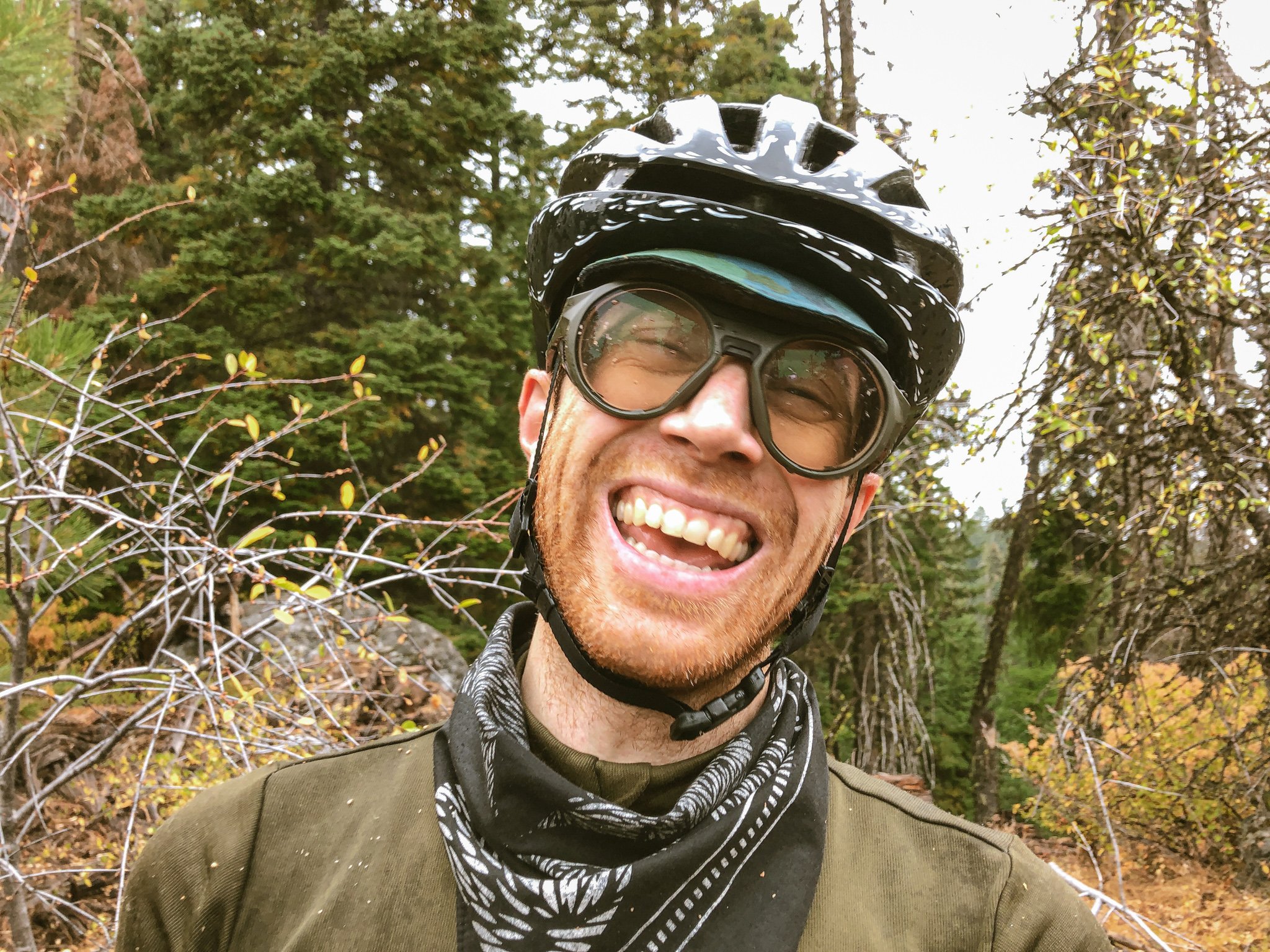
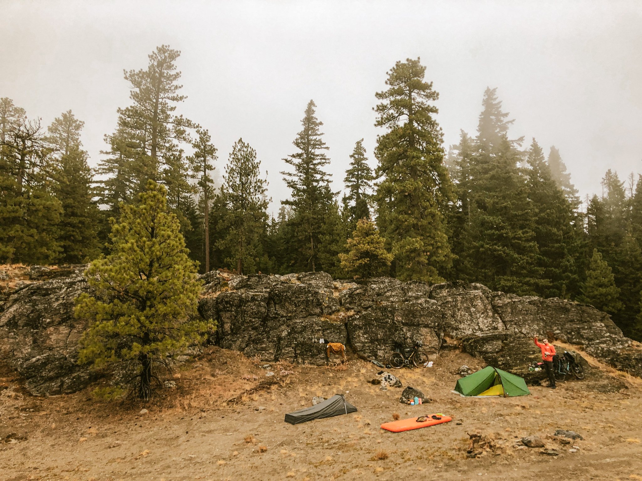
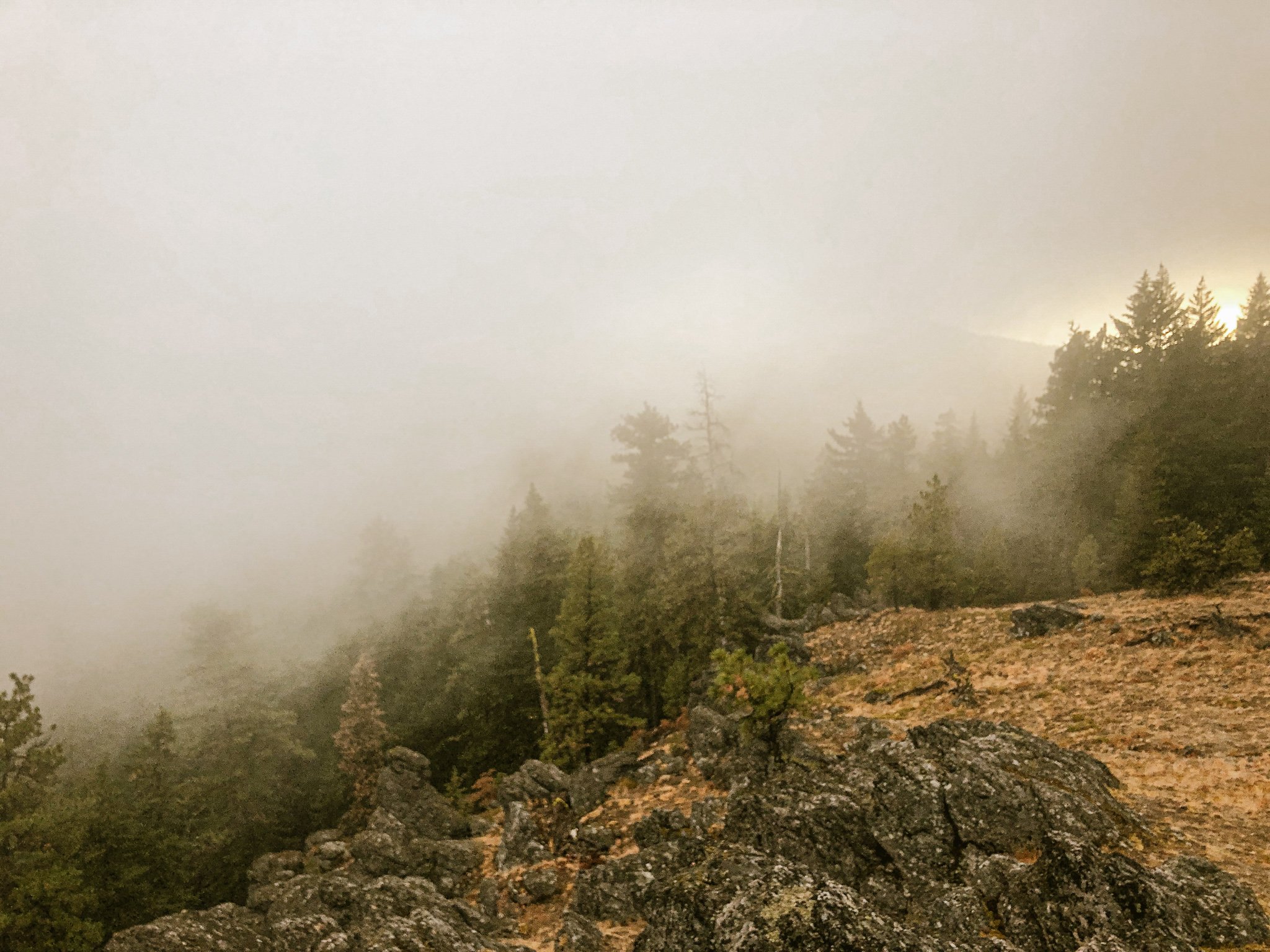
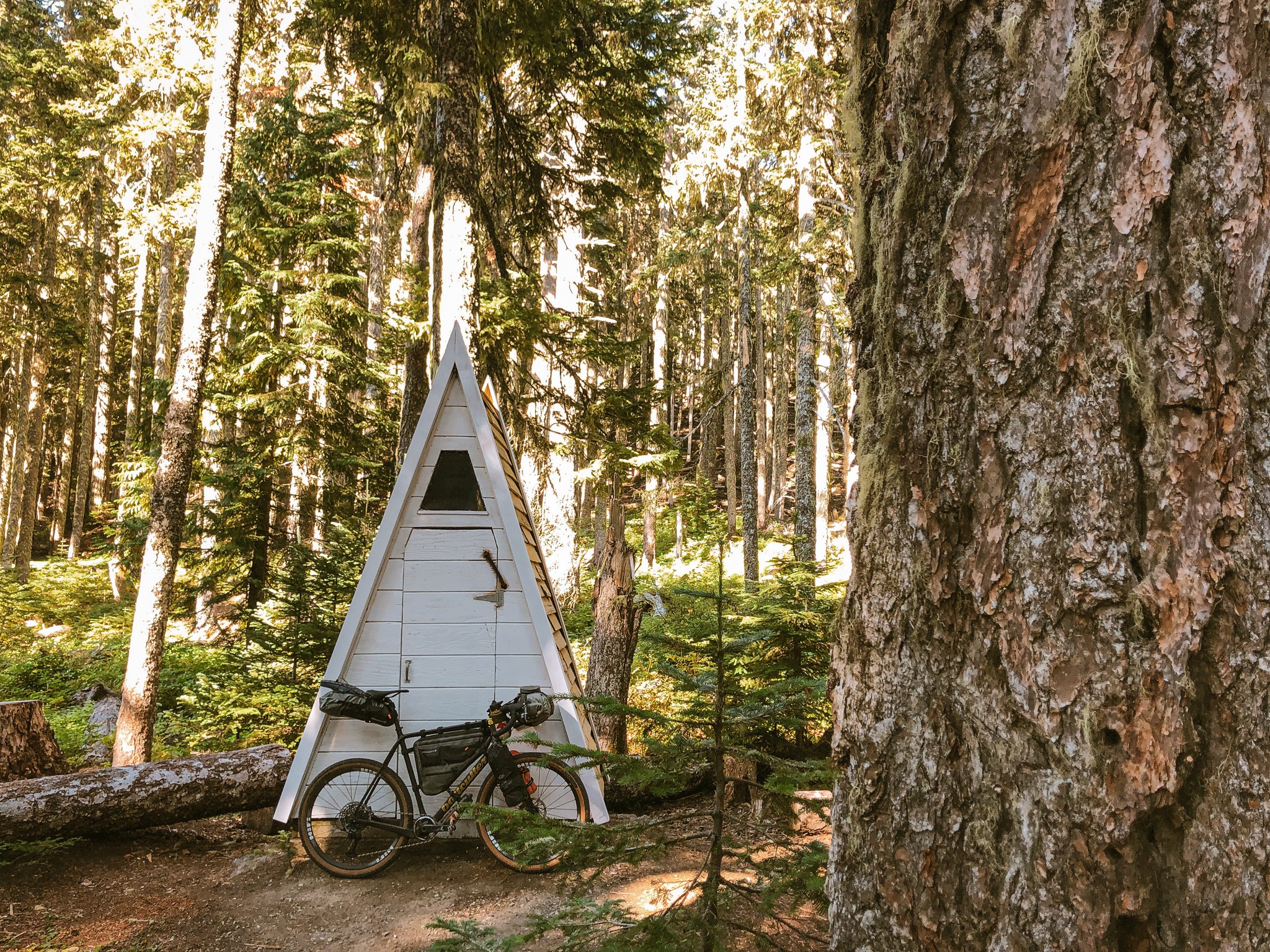
We camped in a broad clearing amid the Fifteenmile's characteristic rocky prominences. As we fired up our stoves in the waning light, banks of eddying mist rolled up the valley from the east, encasing the ridge in a thick, swirling fog. It was wet but not quite raining. The dense trail understory had thoroughly soaked our riding layers, socks and shoes. With temperatures dropping to the mid-40s, I was envious of Dustin's proper tent setup and full-coverage vestibule. My ultralight bivy had no rain fly and quickly became a magnet for condensation. Eventually the weather lifted overnight revealing intensely starry skies. As I lay there, cocooned in my bivy, transfixed beneath a gallery of electric stars, everything clicked.
'Okay. I get it now. This is why folks love bikepacking.'
Day Two
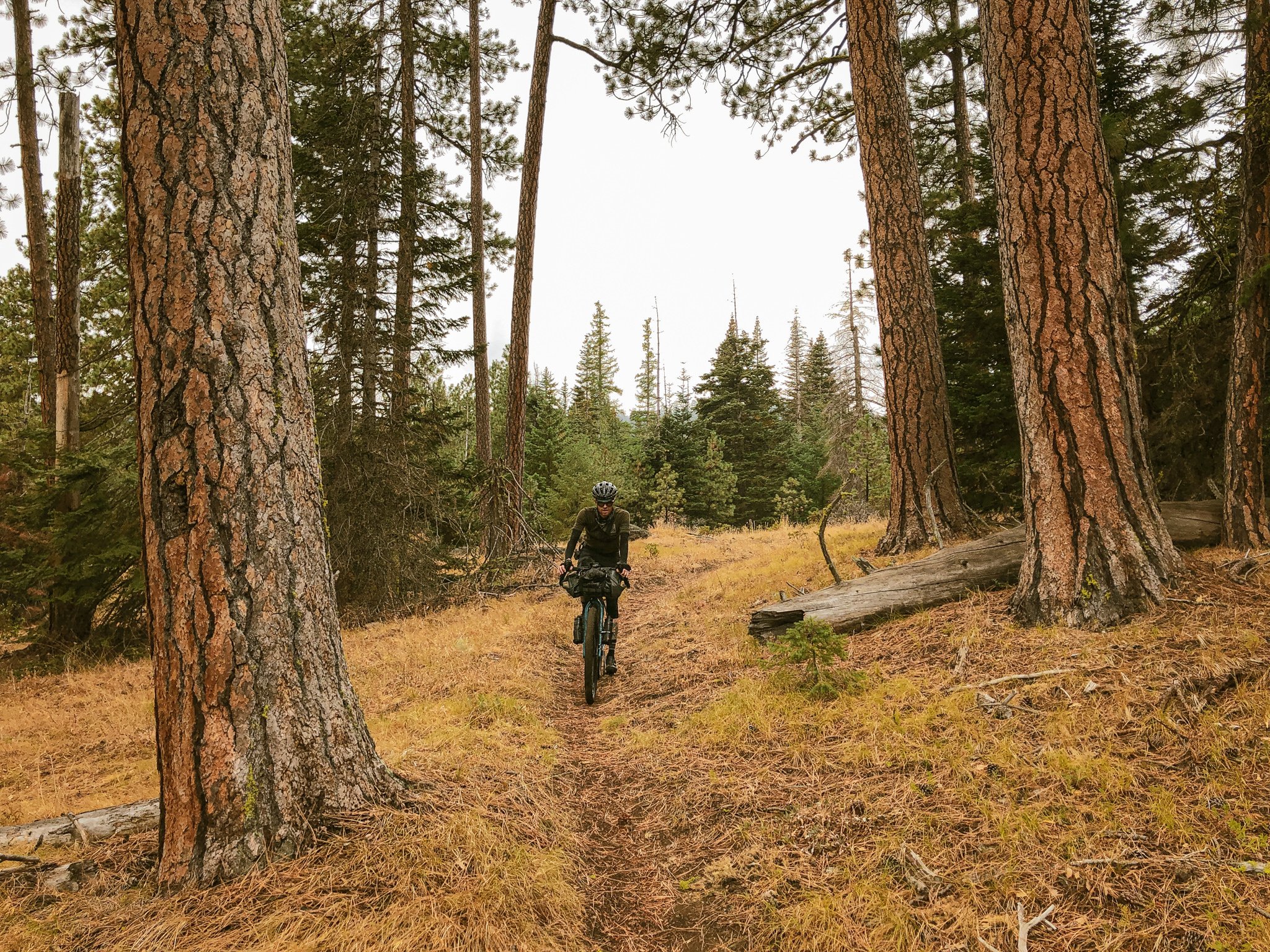
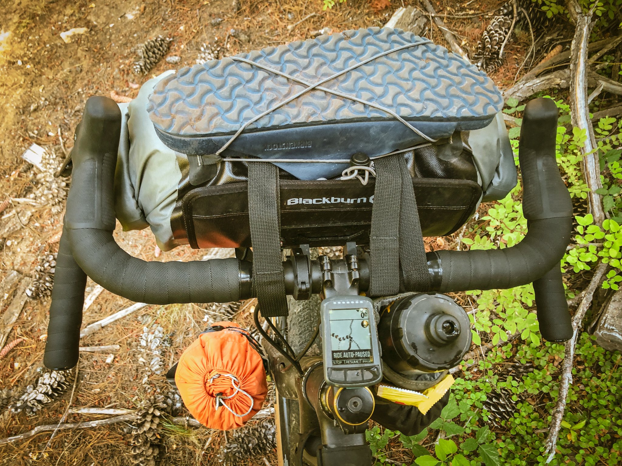
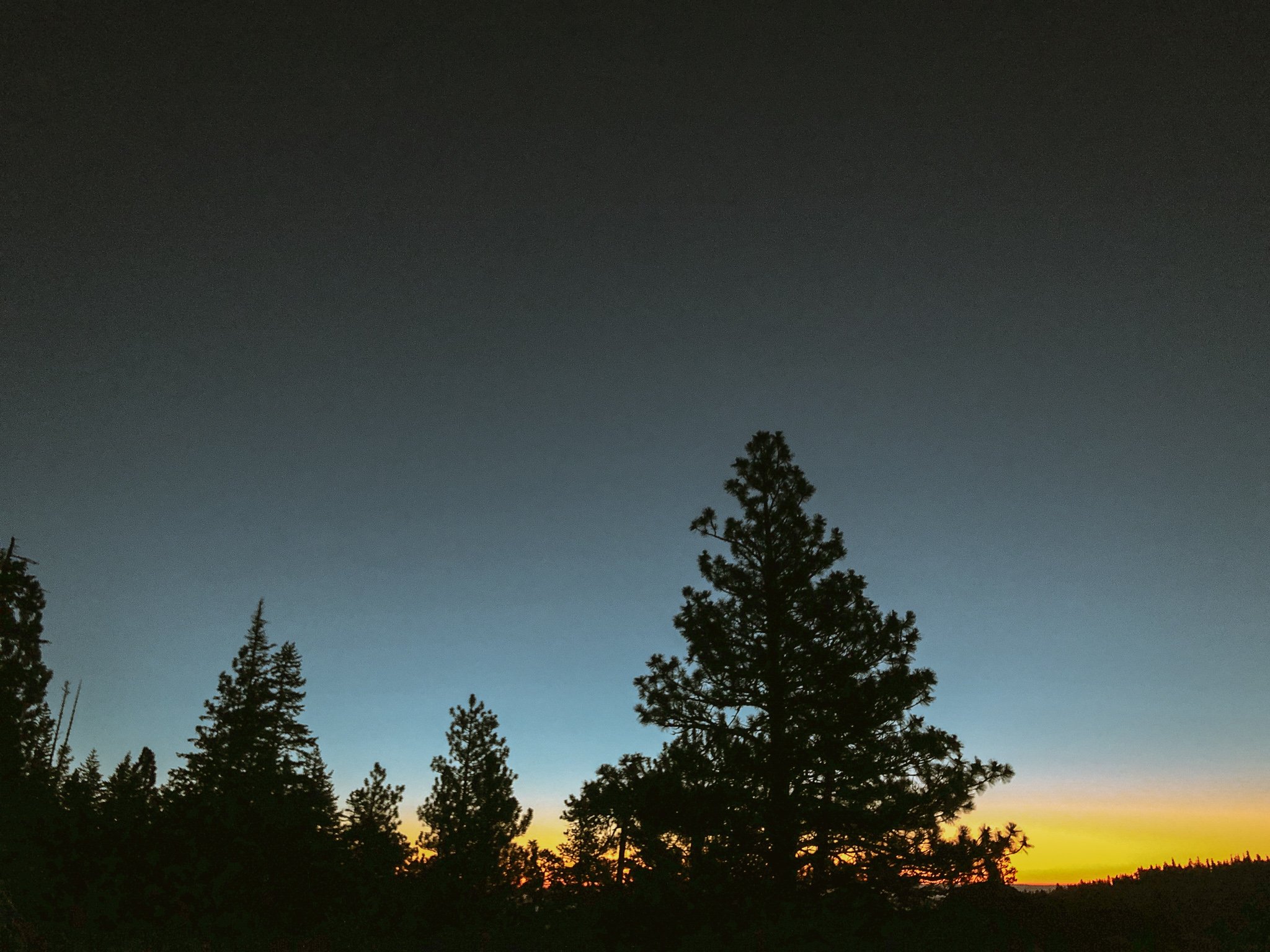
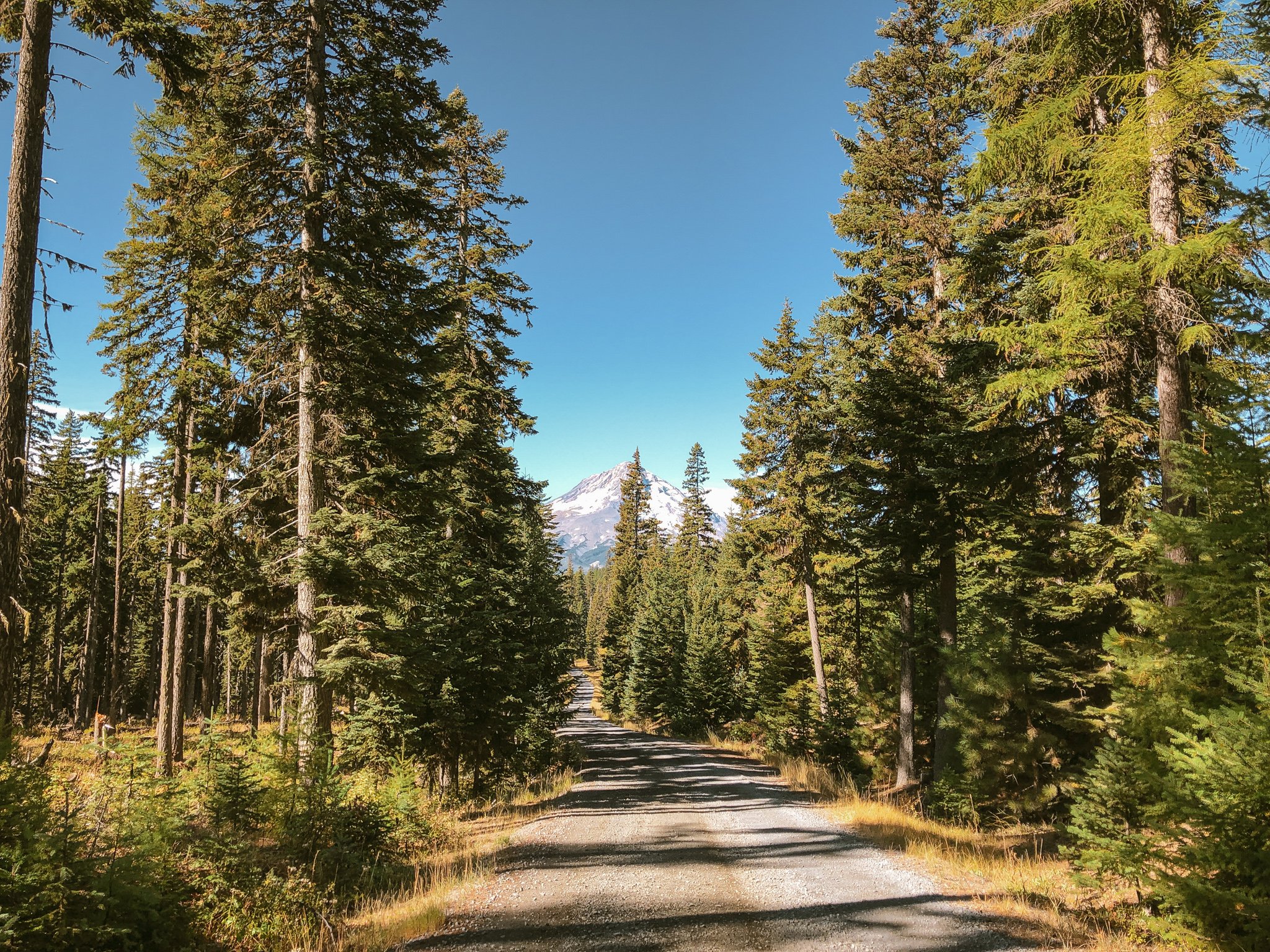
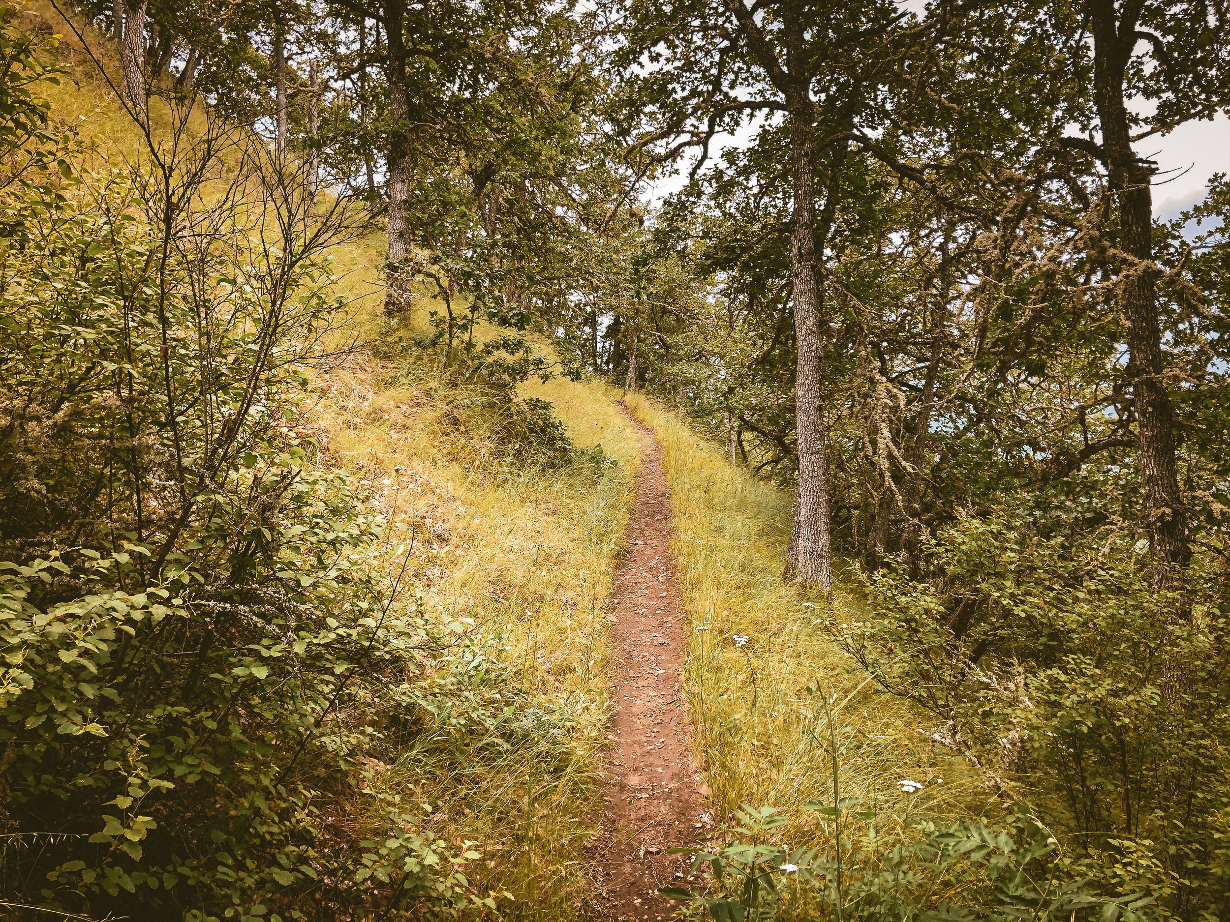
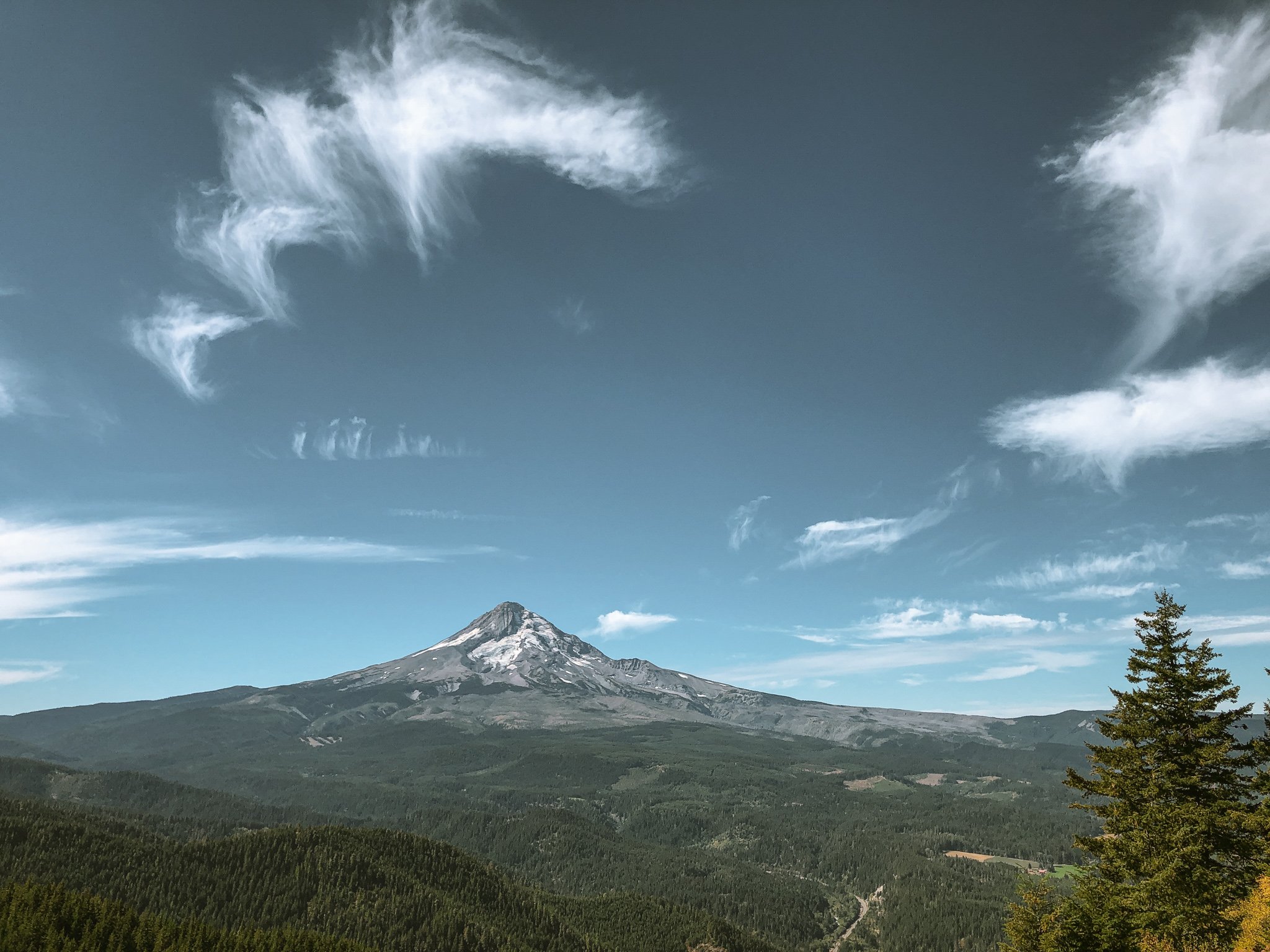
We woke to a blazing sliver of red-orange on the horizon. The air was crisp, cold and dry. My instant coffee, quite possibly the best thing I have ever tasted. Breaking down camp and loading the bikes, things seemed to fall into place as we devised better, more efficient systems for stowing our gear. The remaining stretch of Fifteenmile ascended sharply through brisk sun-dappled subalpine forest. Anticipating a trail-intensive day ahead, we sidestepped the roots of Lookout Mountain in favor of smooth pavement over to Knebel Springs. The rain had sweetened the trails to near-perfection such that I was able to clear a handful of tricky climbs that had always vexed me. Again, after Knebal, we cut out to Brooks Meadow road, streamlining our approach to Surveyors Ridge. I can certainly appreciate the conceptual value of maximizing trail time, but we didn't want to burn unnecessary matches within the context of a longer-form trip.
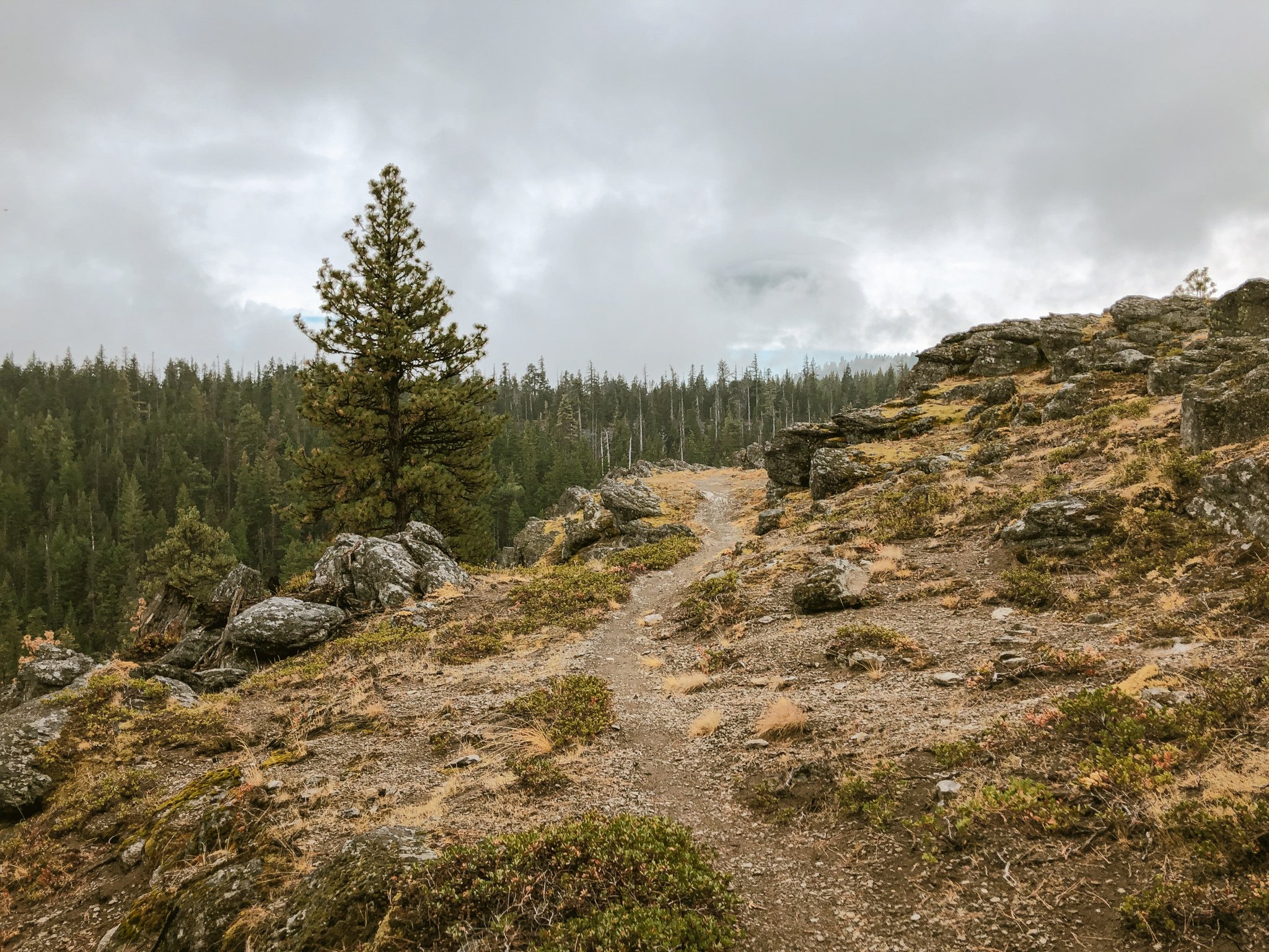
Surveyors Ridge unfolded as the focal point of the day, weaving northward through dense stands of fir and Mountain Hemlock. Primarily sheltered, fast and smooth, this classic line presented a satisfying progression of contrasting shapes and sightlines with a handful of exposed climbs and technical rock features. Dustin and I paused to check our brakes and lock down loose gear before descending into the valley via Oak Ridge, which drops 2000 feet over 2 miles. Translation: steep AF! Despite my anxiety, this was precisely the scenario where I hoped the stabilizing effect of the gear-laden bikes would shine. Sure enough, my 2.25" footprint bore the burden with traction to spare down Oak Ridge's 26 hairpin switchbacks and precarious exposed shale, dropping us into the Hood River valley just east of Parkdale. We arrived at the local brew pub a bit road-ragged beneath a glaring midday sun. The abrupt scene change from pristine backcountry to crowded tourist destination was a bit jarring but the food, kombucha and downtime proved to be a solid combination.
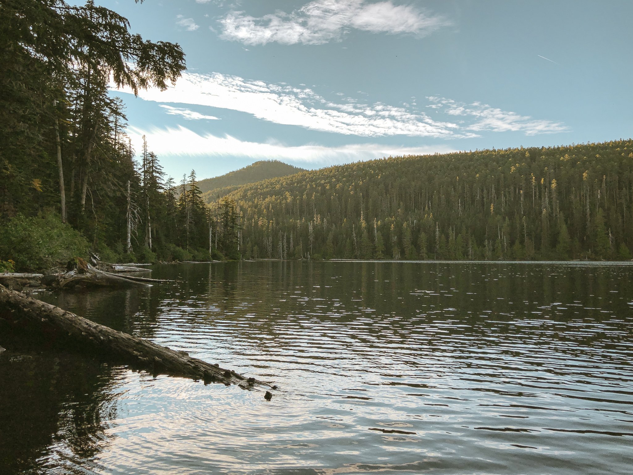
After lunch we restocked at McIsaac's Grocery, rolling west out of town, amid bucolic fields of lavender, pinot and riesling and settled in for a long afternoon climb. The buttes and ridges on the valley's west side have a distinct utilitarian feel, underlaid with a network of irrigation ditches channeling water to the agricultural bottomlands below, the foothills patterned with patchwork logging parcels in varying stages of regrowth. We found ourselves amiably climbing quiet National Forest roads, gradients ticking up successively around each switchback. Unseen waterfalls and creeks gurgled deep in the roadside foliage as we snaked along the east side of Waucoma Ridge toward Wahtum Lake. We arrived at the campground with daylight to spare, situated our gear and hiked down to the lake for a dip. Wahtum Lake sits just inside the Mark O. Hatfield Wilderness boundary, and is one of several small high elevation lakes lining Waucoma Ridge. We noted several dispersed campsites along the lake, but between the wilderness restriction and steep, stair-lined trails, camping higher up seemed the best option. We settled in for the evening beneath a vaulted ceiling of old growth hemlock and cedar.
Day Three
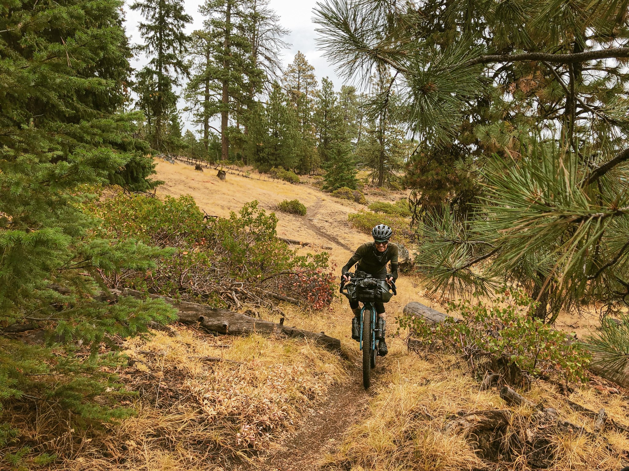
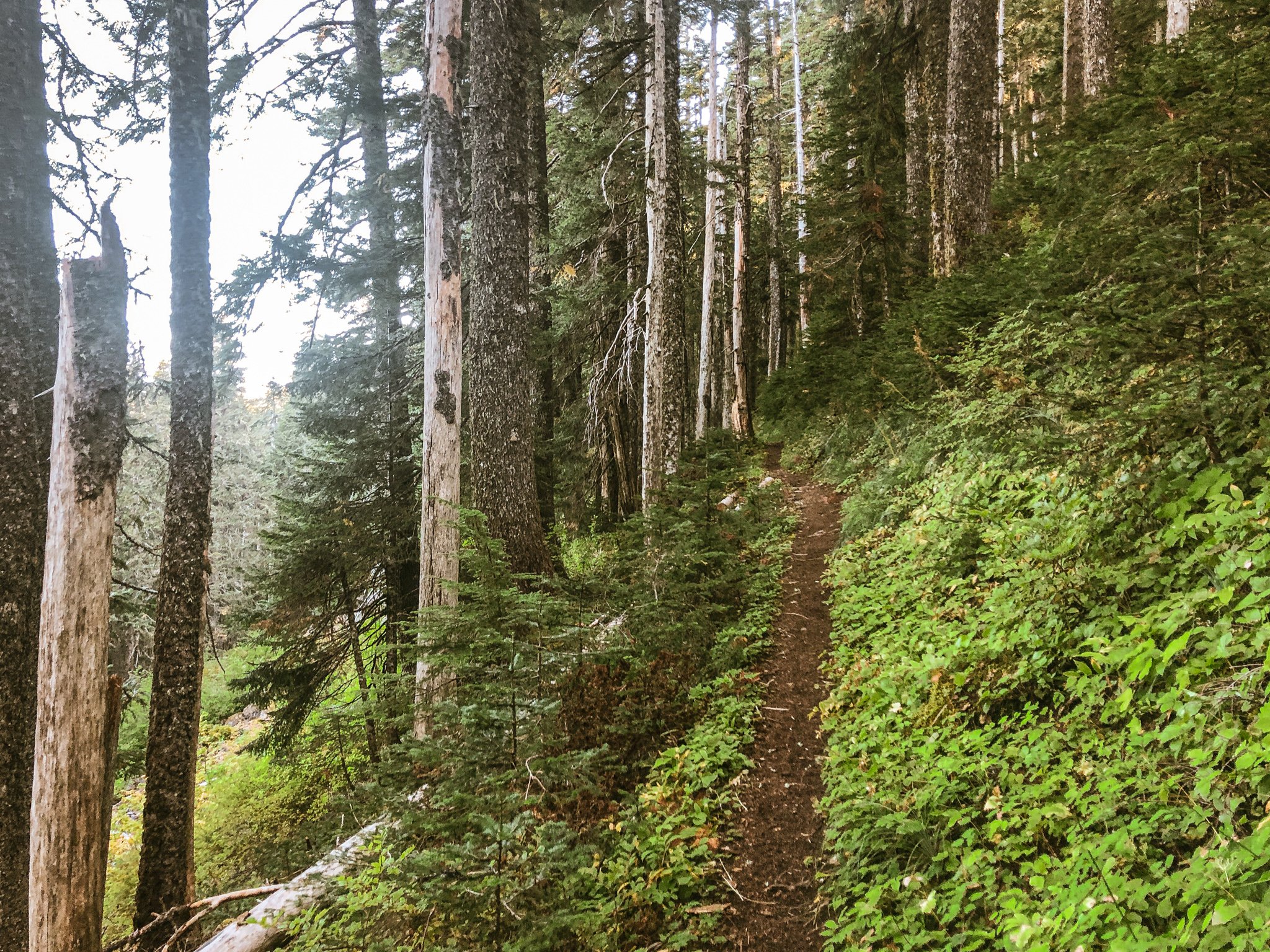
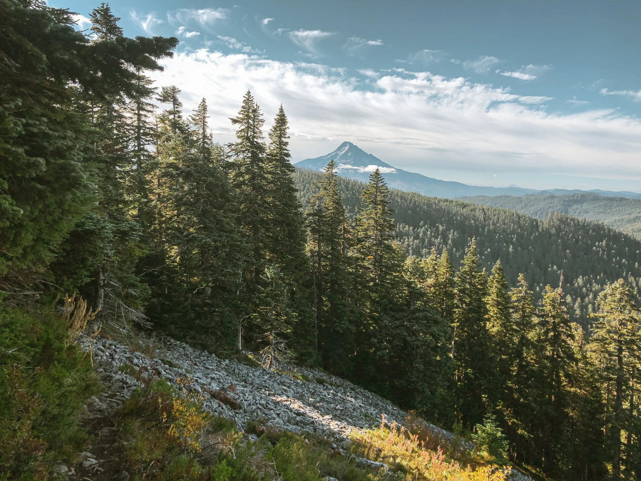
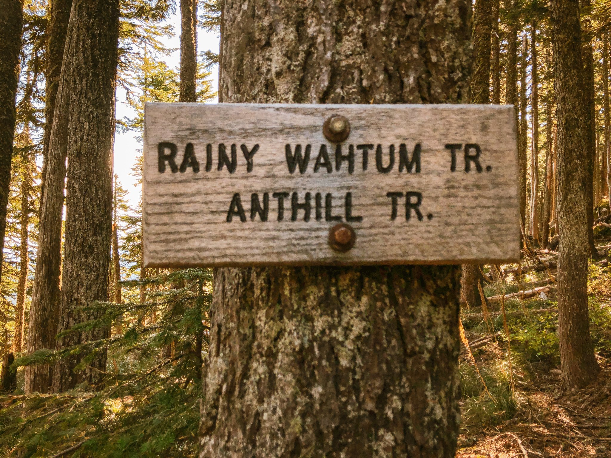
Dustin and I kicked off the morning with vigor, earning our turns, so to speak, by climbing straight into the resplendent Anthill - Rainy - Wahtum trail complex. Our way forward, a 17% tightrope of piney duff strung at oblique angles, traced the spine of Waucoma Ridge northward. Sometimes overgrown and slight, other times a wideset primitive wagon road, the singletrack sequence traversed cascading scree and narrow ledges with commanding views east and west. The line from Wahtum to Rainy lake skirts the eastern boundary of the Hatfield Wilderness, a region palpably raw and abundantly wild. Pitching downward to Rainy Lake, the ridgeline plunged through jagged boulders, hanging meadows and lush primeval forest. Our momentum carried us into the otherworldly Rainy-Kingsley irrigation trail, gradually leveling into a flat, smooth and tranquil passageway, at times barely discernible through dense deciduous undergrowth.
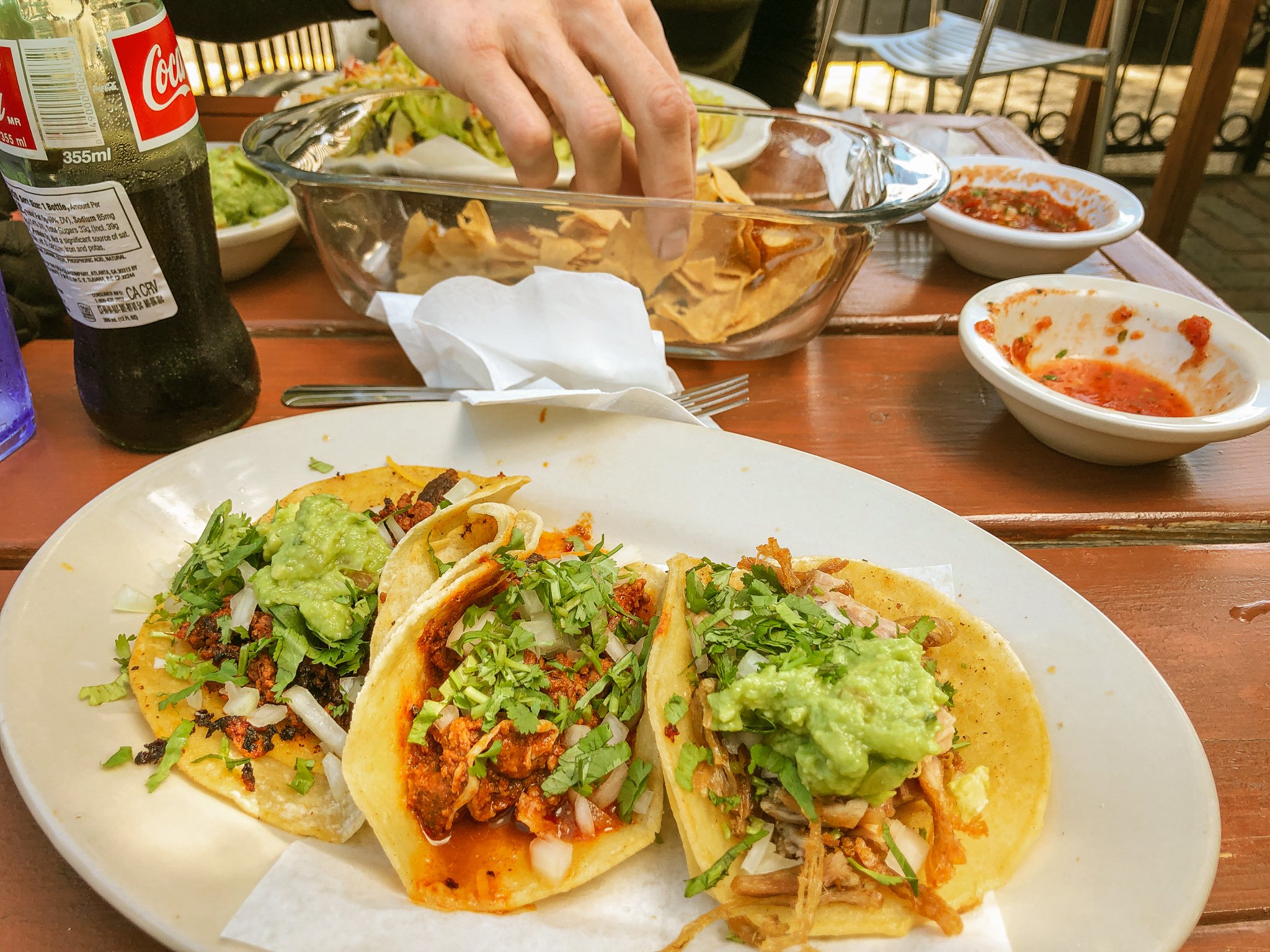
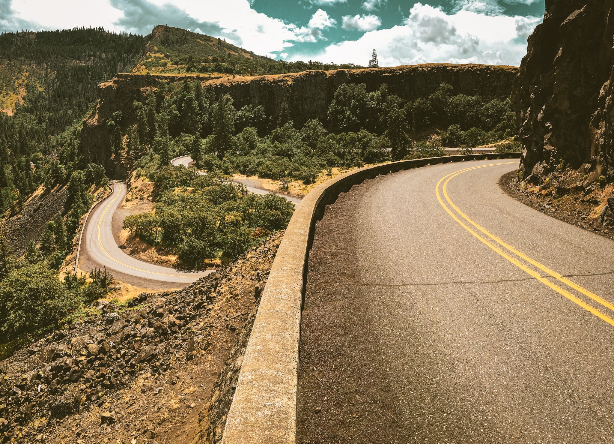
And just like that, the trail ended. We emerged from the backcountry into a clamorous world of dusty gravel populated with pickup trucks and mountain bikes. A short climb above Kingsley reservoir marked yet another scene change as we entered Post Canyon's iconic red soil and loose powdery moondust. While the Post Canyon system presents any number of modular lines into Hood River's pastoral west side, the official route utilizes a playful combination of Dirt Surfer, Whipsnake, and Borderline trails, which crisscross and roughly parallel the system's primary access roads. Being on fully-loaded rigid bikes, we settled on a hybrid approach, starting in the trails then transitioning to smooth gravel out through the bustling Seven Streams staging area. Driven by visions of tacos, we forewent the lower Indian Creek trail and beelined it to a proper lunch, after which we picked up the trail's upper stretch along the highland bluffs into downtown Hood River. The creamy tarmac of the Columbia River state trail through Mosier was a dream in contrast to the bump and jostle of the backcountry. Tires humming effortlessly beneath us and the wind at our backs, the Rowena loops unfurled in a hazy blur, drawing us back toward The Dalles. Backended with a soft landing through familiar territory, our final stretch through the eastern Gorge was as fluid as it was fulfilling, a spirited tailwind easing our efforts in closing out this rich, challenging and multifarious adventure.