
© Gabriel Amadeus
And why doesn’t the Oregon Timber Trail follow the Metolius-Windigo Trail? If you've been following the development of the OTT over the past three years, you've seen its alignment snake back and forth in the Mount Bachelor area several times creating vastly different user experiences from year to year.
The Metolius-Windigo is the only bike-legal singletrack trail that travels the 30 miles south to north between Lava Lake and Sisters. Hemmed in by Wilderness (no bikes allowed) to the west and the Bend metro area and associated highway system to the east, we are left with very few options for traveling by bicycle: the Metolius-Windigo singletrack trail, the shoulder of the Cascade Lakes Highway, or a convoluted detour over and around Mount Bachelor and through private timber lands.
The Cascade Peaks (Segment 6) official alignment has varied dramatically over the past several years. Why? As the Bend area’s population grows, the finite amount of recreation resources in the Deschutes National Forest sees more and more use. Increase in use leads to increased interaction with other trail users. The vast majority of these interactions are positive, (Be nice, say hi!) but of course human nature being the way it is sets the stage for some unpleasant interactions—however rare.

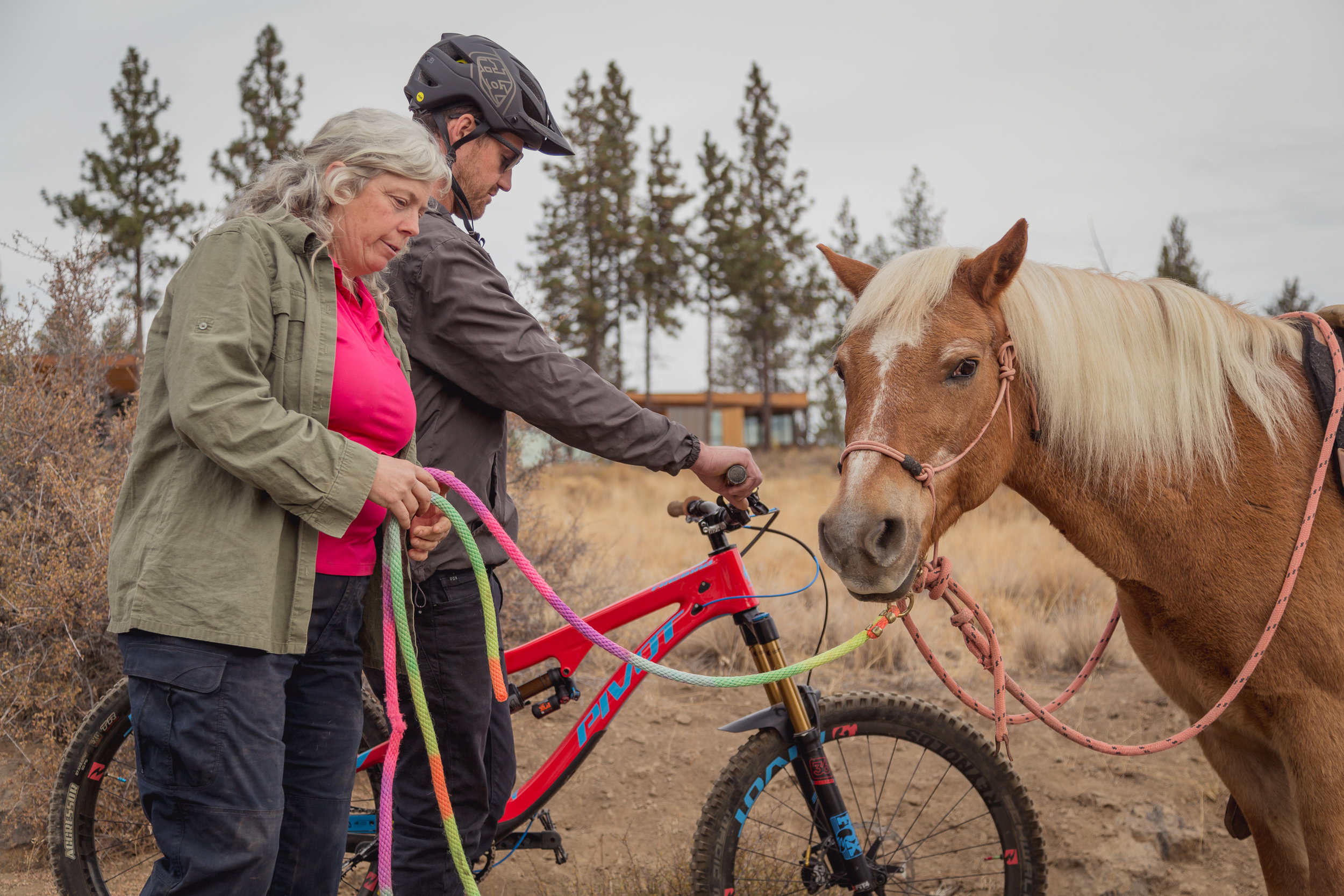
Some people think that people on bikes are not compatible with people on horses and believe that certain trails are ‘high conflict areas’ because of this. The Metolius-Windigo Trail (Met-Win) is perceived as one of these areas. The Metolius-Windigo Trail is 130 miles long and a lower-elevation alternative to the Pacific Crest Trail. As with the vast majority of trails on National Forest lands, the Metolius-Windigo trail was designed as a pack and saddle trail. When developing the OTT’s alignment our founders were respectful of this legacy, and wherever possible avoided routing on the Met-Win. Unfortunately in several sections there are no other singletrack options that do not degrade the OTT user experience—specifically in the corridor between the Cascade Lakes and Sisters where the trail system is already experiencing an uptick in use from Bend’s rapid growth.
At the Oregon Timber Trail Alliance we believe in sharing non-motorized trails, especially remote backcountry trails—exactly the type of trails the OTT was designed to highlight. In our user surveys of almost 300 riders there were zero reports of conflicts with other trail users along the entire 700 miles of the OTT. We believe user conflict to be a non-issue on the OTT, and are proud that we as Oregonians have been so welcoming to OTT riders from all over the world as they experience our local trails. You should be proud of this friendly legacy we’re creating as well!
“In our user surveys of almost 300 riders there were zero reports of conflicts with other trail users along the entire 670 miles of the OTT.”
Yet the perception of conflict on these tranquil backcountry trails persists. These sections of multi-use non-motorized trail are legal for people on bicycles but are perceived by some as high-conflict areas between people on horses and people on bikes. Therefore, the OTTA has been asked not to include any part of the Metolius-Windigo Trail in the official 2019 Oregon Timber Trail route. You’re welcome to ride your bike on these shorter, easier, and more pleasant singletrack trails—but we have been asked not to advertise that you do so.
If you do ride on the Metolius-Windigo Trail—or any multi-use trails for that matter—please be aware of and courteous to other trail users. You can learn more about proper trail etiquette in our Ride the OTT guide.
If you have questions or concerns regarding this management decision please contact the Deschutes National Forest at (541) 604-4570.
The modified sections for 2019 can be broken down into four parts:
CASCADE LAKES: Lucky Lake Trailhead to Dutchman Flat. The most obvious routing here is to follow the Metolius Windigo Trail #99 north linking up the Lava Lakes, Hosmer, and Sparks Lake to Mt Bachelor. This is a slow gradual climb on singletrack with several lakes for water supply and camping. Instead, the official OTT route travels over the southern shoulder of Mount Bachelor on the Edison Lava OHV trail, connecting riders to Wangoga TH, and links back to Dutchman Flat via the Cascade Lakes Highway and some XC ski trails. This official route is longer, has more climbing, no water sources, and provides a serious safety hazard by asking riders to travel the shoulder of a busy highway. If you choose this route please ride safely and carry enough water to last you 35 dry miles—the longest waterless section of the whole OTT.
TUMALO WATERSHED: Dutchman Flat to Happy Valley. Here the official OTT route links up to the 370 road that skirts the Broken Top Wilderness along the treeline. The riding is scenic and straightforward, just be aware of heavy vehicle traffic accessing popular trailheads on summer weekends. If you traveled along the east side of Mount Bachelor and are looking for water, the NF370 road crosses several reliable streams. If you prefer to stick to singletrack, the Metolius-Windigo trail continues north paralleling NF370.
THREE CREEKS: Happy Valley to Three Creek Meadow. This area connects the Tumalo watershed and Bend trails with the Whychus watershed and Sisters trails. The official OTT route continues along the NF370 road to Three Creek Meadow where there are several small lakes and camping areas. If you prefer to stick to singletrack, the Metolius-Windigo trail continues paralleling the 370 road to the east. It’s sandy and slow going through this area for the most part.
TRAIL 99: Three Creek Meadow to Peterson Ridge. From Three Creek Meadow the official OTT route leaves the high country and winds down a series of forest roads to the Peterson Ridge trail system outside of Sisters. Be cautious of other road users and frequent logging operations in this area. If you prefer to stick to singletrack, the Metolius-Windigo Trail #99 descends 3,000’ over 13 miles—in 2018 many users highlighted it as their favorite section of the Deschutes Tier.