
Not a lot has changed in 2019 in terms of the route and guide. Which is a good thing—it means the wayfinding resources have been refined and are quite thorough and accurate. Here’s what’s different.

WATER RESUPPLY CHART AND WAYPOINTS
We copied the Oregon Desert Trail and created a publicly editable spreadsheet for each water source on the trail. Check it out here and add your notes in the rightmost columns where you’ve ridden the trail.
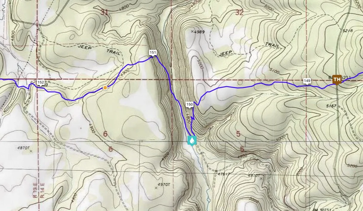
GPS ROUTE ACCURACY
In several areas we made slight adjustments to the accuracy of the GPS files where noted by our 2018 riders. Specifically in Seg 1, Seg 3, Seg 5, Seg 6, Seg 9, and Seg 10.

METOLIUS-WINDIGO
In Segment 6 we were asked not to utilize the shared-use Metolius-Windigo trail due to perceived conflict. You can read more about this decision here.

ELEVATION PROFILES
We added elevation profiles for each segment in the route guide PDF—this paints a much clearer picture of the ride’s difficulty.

COLOR CODING
We heard that the color-coded route in Ride with GPS was helpful so we re-analyzed its accuracy and updated it.
Blue=Trail — Pink=Gravel — Red=Pavement

GUIDE UPDATES
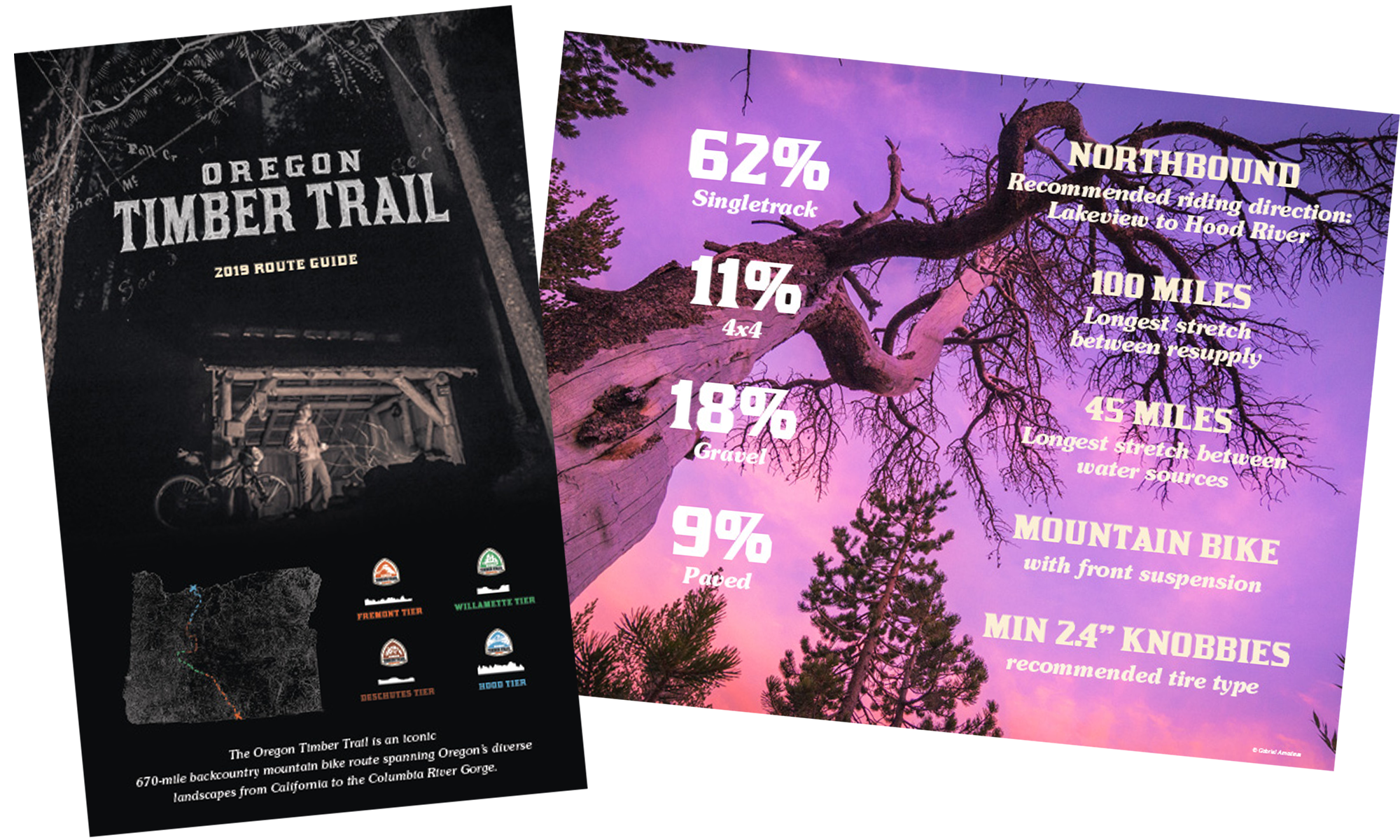
We added more information to the downloadable route guide that covers: Northbound vs Southbound, concerns about wildlife, more accurate ratings and descriptions, elevation profiles for each segment, and trail log locations. Download this guide here.