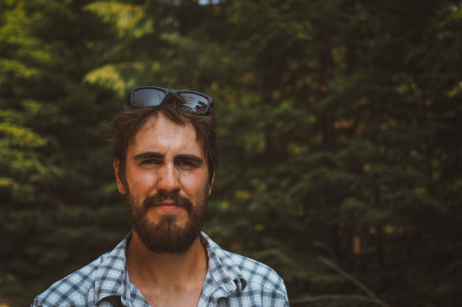
Photos by Miles Arbour and Benjamin Handrich. Words and video by Benjamin Handrich. To see more photos and stories check out Ben’s original post and Miles’ recap on Bikepacking.com
Insta-Friends
It started how it always starts. I knew the ride but I didn’t know the rider. Or, at least, I hadn’t found a rider to replace my – under normal circumstances – ever-faithful riding partner, Andy. Andy, however, had just recently become a father, which justifiably ruled him out. And most of my local riding buddies weren’t able and/or willing to devote two weeks to a major ride like the Oregon Timber Trail. So naturally, I turned to virtual world of ‘friends’: instagram and youtube.
I started very selectively, by asking a rider in California whose youtube channel – Ride Alongside – is one that I have always enjoyed. Based on his videos he seemed like a great guy, and he expressed interest when I reached out to him, but in the end, it didn’t work out. While I was waiting for his response, I also reached out to a select few people I follow on instagram as well as some people in local MTB facebook groups, but again, there was a lot of enthusiasm but not a lot of commitment. I was looking for a firm yes.
So I took a chance and reached out to bikepacking.com with an email inquiry of interest. In the email, I was pretty specific in that I needed someone who could commit to riding long days and pretty high mileage. I had a two week window, and the suggested days of riding for this particular trip is 21 days based on the official OTT website. Not only was I cutting 7 of the recommended days from the ride time, I was also going to be filming most of our ride via GoPro and drone footage, which means semi-frequent stops. I didn’t want someone to commit to riding with me but then get out to Oregon and be completely under-prepared.
The head honcho over at bikepacking.com – Logan Watts – responded that while he unfortunately was recovering from an injury and had his own ride he was hoping to complete, one of his regular contributors had expressed interest.
Enter Miles Arbour. Logan shared Miles’s contact information with me, and we both immediately began following (stalking?) each other’s social media sites. Instagram surprisingly acts an excellent platform for getting to know a guy. It’s like a de facto ‘interest’ resume. After exhausting Miles’s profile, I came to the conclusion that we would be kindred spirits, and this deduction held true throughout our trip. It turns out social media actually does serve a purpose!
The Pre-Plan
After both committing to this ride, it became time to plan. Miles and I created a google sheet to share the gear we both planned on bringing, which helped eliminate redundancies.
If you’re interested in our gear list, you can check out the excel document here.
It quickly became clear that Miles wasn’t expecting me to do all the planning for this trip, despite being a native Oregonian. This came as a bit of a relief knowing I had a riding partner who would also take on navigational and gear responsibilities right alongside me. We spent much of the winter and spring months planning out the specifics of the route, how we would arrive at the starting point, what gear share versus what gear to carry solo in case of a needed separation, etc.
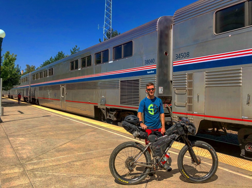
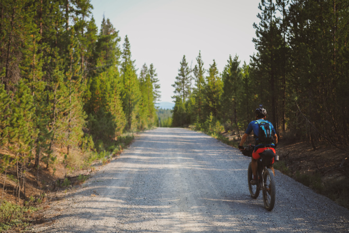
Of course, nothing ever goes perfectly according to plan. About a week before our start date, our driver to the start of the route fell through, and the OTT does not start in a simple to reach location. It pretty much requires a shuttle. After a bit of back and forth, Miles and I decided to take one of the suggested detours that starts in Klamath Falls at takes you to mile 70 of the OTT. That way, we could both take the train to K-Falls and still enjoy the vast majority of the OTT. It helped that this particular detour took us along a route known as the Oregon Outback, an iconic gravel ride well-known in Oregon. At least… that was the plan.
The Plan (Take 3)
Yep… the plan didn’t quite work out. After landing in Medford, Miles’s bike wasn’t unloaded from the plane and, long story short, flew around the U.S. for two days before arriving back in Medford. Meanwhile, Miles and I both became well-acquainted as we stayed in a motel, were forced to loiter around the streets of K Falls with almost no ‘street clothes’ and only the bare necessities, as all of Miles’s clothes and gear were packed away in his bike box, and even I only had clothes for biking. Needless to say, we became very well-acquainted with the local bike shop in K Falls, and planned, re-planned, and re-planned again our route as delays and bad news kept coming in from the airline about the status of his bike. While our intended leave time was July 28th, we finally got on our bikes and pedaled out of K Falls on July 30th, at the proverbially eloquent buttcrack of dawn.
The Detour (with map, if you’re interested)
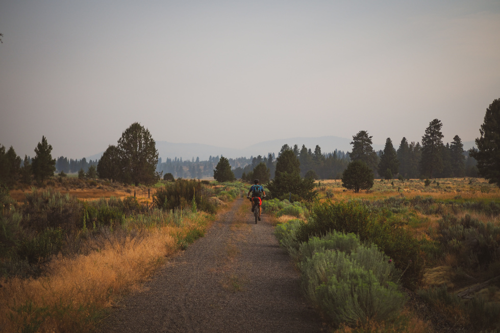
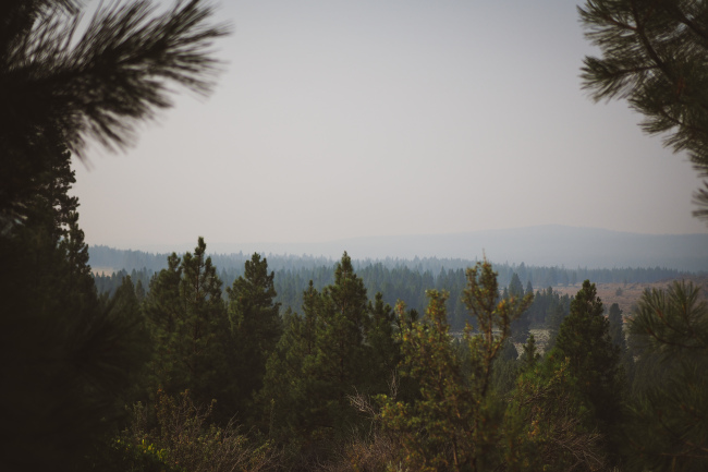
With a two-day delay, and only 14 days to ride the full route, Miles and I knew we had to make some serious time up, and what better way to do so than on a relatively flat gravel detour? Of course, logic would argue that when starting a large ride like the OTT, one should ease into it, with low mileage at the start and a slow build-up of mileage as the trip progresses. But logic evaded Miles and me – and unfortunately for Miles, the toll of riding 107 miles the first day was high. We were riding in 90 degree heat, in direct sun, and the Redding fire in northern California had made for absolutely horrible air quality conditions and poor visibility.
More of the Same
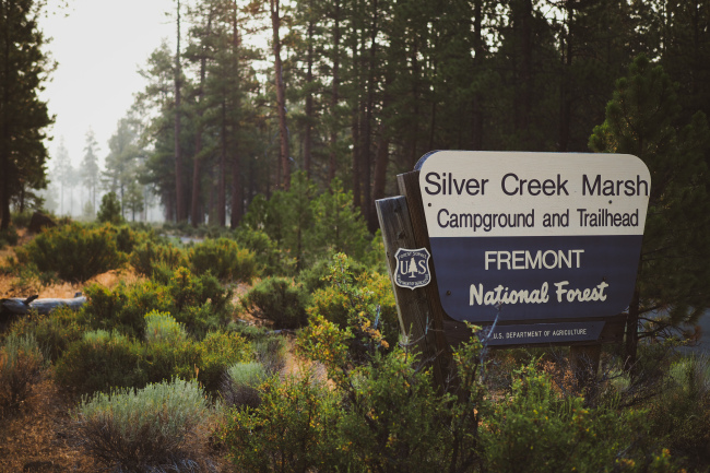
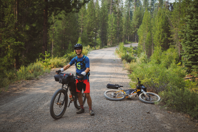
However, Day 2 was more of the same for Miles. While we were technically on track to ride the OTT, the trail was non-existent from Silver Creek Marsh Campground, so we desperately sought out social media trail reports and detour options via our various mapping technology, and were able to once again piece together a route to Chemult that took us on a mixture of gravel and tarmac roads. The re-route itself was a smidgen under 70 miles, but around mile 40, Miles once again began to endure a suffer-fest. He dealt with the suffering like a true champion, but as we rode separately for stints of time and then reconnected, Miles pulling in the caboose with pain written all over his face every time, I began to do some mental check-ins: was I willing to ride this route solo?
I didn’t like the idea of riding the last 500 miles with no partner, as so much can go wrong on a ride like this, and there were still huge portions of isolated wilderness for me to ride through. I mentally wrestled with the idea of riding solo all the way to Chemult, where Miles was hardly able to eat at one of the local diners, and we talked seriously about his ability to finish this ride.
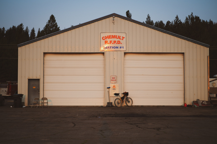
Meanwhile, a local paramedic was eating in the diner next to us and invited us to camp for free at the local Fire Station. This was such an unexpected kindness, amidst the maelstrom of questions, doubts, and unplanned obstacles we had experienced over the last two days, and we happily accepted. After a quick resupply, camp setup, and serious conversation about Miles’s riding condition, we decided that the best option was to ride the next two day’s to Oakridge, and from there decide whether Miles would be able to complete the OTT.
The Turning Point
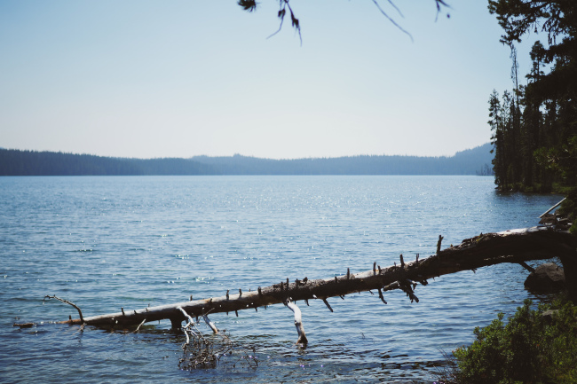
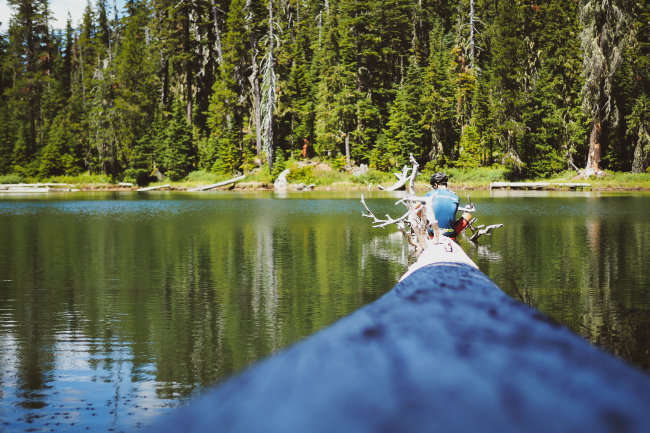
I’m not sure whether it was the positioning of the moon, Mile’s Chakra re-aligning, or just dumb luck, but the next two day’s of riding went great. We were officially on the OTT, and made it to Timpanogas Lake for our third day of riding, and Miles was 100% better. We shared the Lake with a handful of other campers as well as a handful of mosquitoes, so like a million or so, and then made our way down the treacherous and thrilling Middle Fork Trail to Oakridge on Day 4.
After stopping at the local bike shop and failing to fix a concerning creaking noise coming from my bottom bracket, and then eating not one, but two meals at what I would consider the best restaurant along the entire OTT – Brewers Union Local 180 – we camped at Salmon Creek Falls and mentally prepped for the infamous and arduous climb up the Bunchgrass Trail the next day.
Bunchgrass and Waldo Lake (with a link to the day’s route)
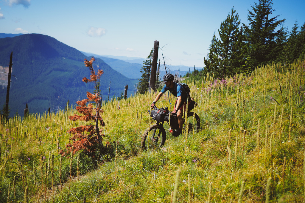
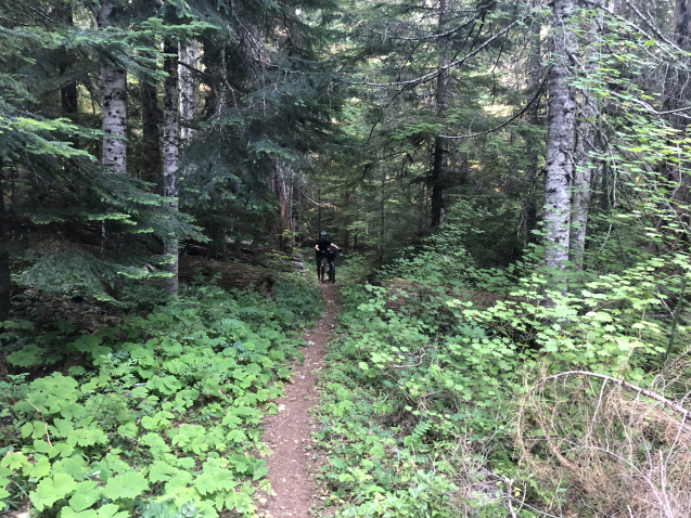
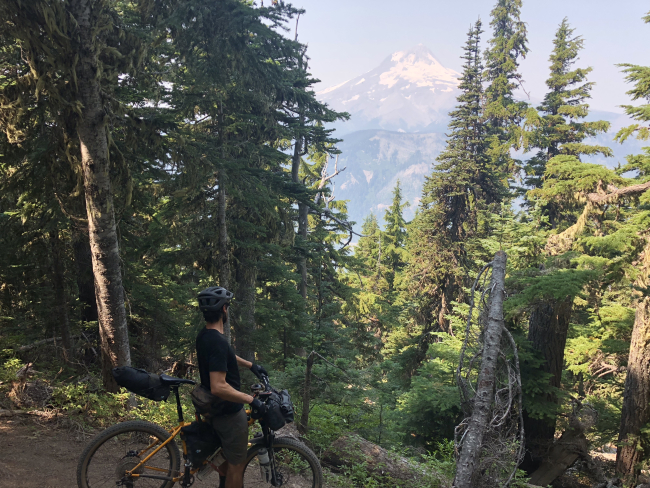
I had attempted and failed riding a self-routed weekender trip from Oakridge up to Waldo Lake years prior, after getting lost on the overgrown Bunchgrass Trail, and soon after getting lost almost t-boning a bear. After that little incident, I had decided to turn right back around and head back to Oakridge. Here are the details of how that trip went down. I vowed that this time would be different, and it was! In fact, I would go out on a limb and say that, if you’re prepared for a bit of pain, the Bunchgrass Trail ends up being a walk in the park, with only a few hour long hike-a-bikes. Otherwise, the riding and trail quality are top notch.
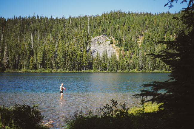
Miles and I completed this portion of riding and arrived at Waldo Lake by late afternoon, well before we expected to. This allowed both of us to wash our riding clothes in the lake, make friends with some weekend-warrior MTB riders, and take time to relax and recuperate for the rest of the ride.
The Rest of the Ride
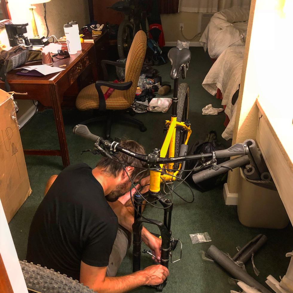
I wish I could say that the rest of the ride went without a hitch, but let me be clear: the rest of the ride DID NOT go without a hitch. Miles and I were ready to really kill it on Day 6 of riding, but unfortunately, Miles’s bike had other plans, in the form of a frayed cable. Around mile 24, when we arrived at Little Cultus Lake, Miles realized that his gear cable was about two cable threads away from breaking. He elected to take the shorter gravel route to Cultus Lake and see if anyone was there who could help him, as neither of us had elected to bring a spare cable (whoops).
I ended up riding the OTT route, which includes some great singletrack around Cultus Lake, before meeting back up with Miles. He had found some people to help, one of which, as luck would have it, was one of the creators of the OTT route itself – Gabriel Amadeus. However, what appeared a simple fix ended up being quite complicated, and after hours of tinkering, it was clear that Miles’s bike was not going to be in riding condition. He needed a ride to Bend and a bike mechanic, but nothing was going to be open by the time he got there. Things appeared pretty dire.
Enter Mike, the networking mastermind and nice guy extraordinaire, stage right. Miles and I pulled into the boat ramp area of Cultus Lake, hoping that some do-gooder would be willing to bring Miles into Bend. The first person we asked just so happened to be the most connected man in all of Bend. He not only gave Miles a ride into Bend in his pickup, but he hooked him up with this e-bike mechanic super genius named Richard, who took the bike and worked on it all night to get it fixed and ready to go for Miles. In the meantime, Mike let Miles stay at his house that night and then gave him a ride to Sisters to meet back up with me the following day.
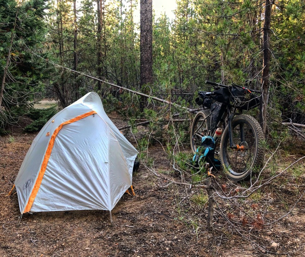
Meanwhile, I left Cultus Lake and raced the sun for ten miles until I arrived a Lava Lake campground, and with permission from the camp host, wild camped just outside of the designated campsite area, since all of the campsites were taken.
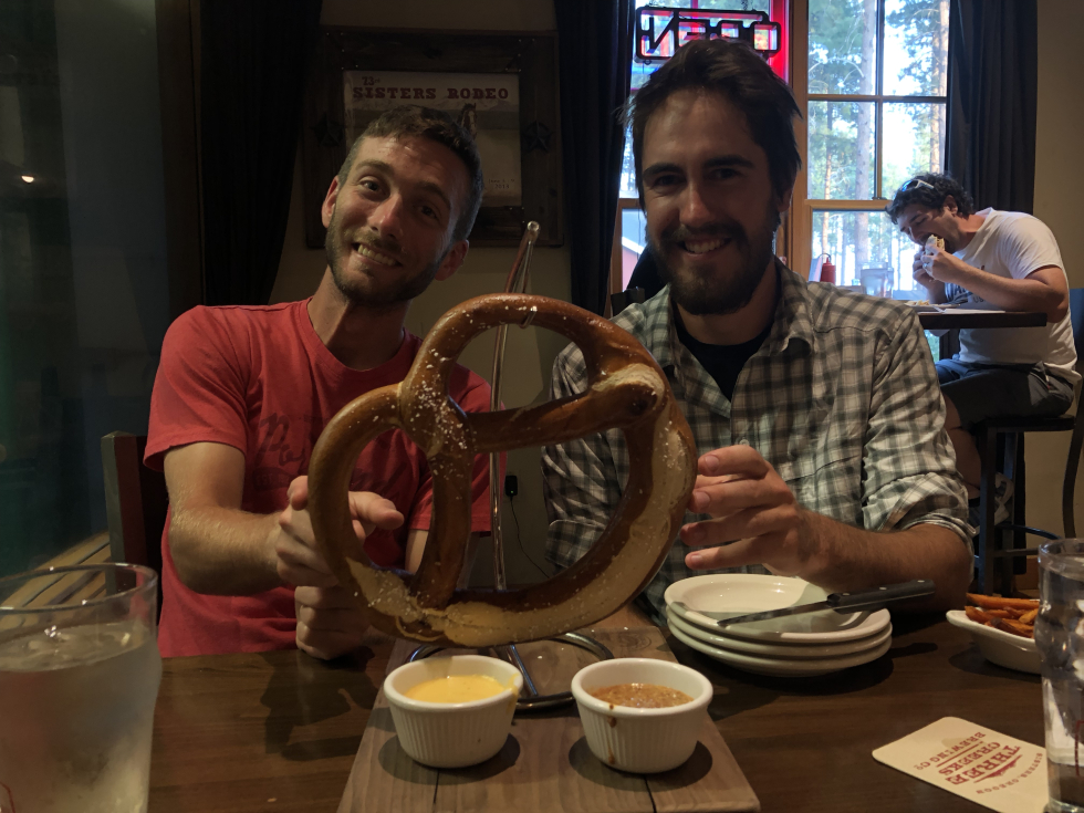
The next day, I rode solo through what was the only section of the OTT where the map led me astray, and which coincidentally was the sandiest and worst riding of the entire trip up to that point for me. Seriously, check out the map from mile 10-16 if you want to see just how many times I got turned around on the ski slopes of Mount Bachelor before deciding just to take the Metolius Windigo all the way to Sisters. But I knocked out miles as fast as I could, and met up with Miles and my partner Trish in Sisters, for a much-needed shower, resupply, beer(s), and bed for what Miles and I considered the halfway point of the trip.
Smooth Sailing (More or Less): Day 8 Map
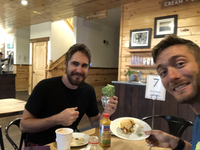
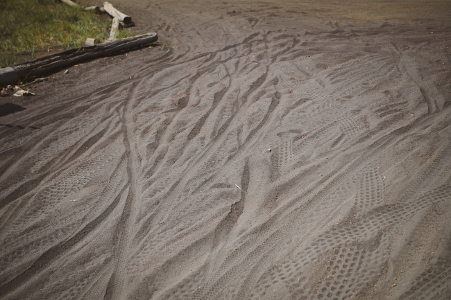
After a quick meal at Sisters Coffee Company (highly recommended), Miles and I set off from Sisters on some of the local singletrack trails in and around Sisters and Black Butte. These trails were pristine and a lot of fun to ride, until we got passed Suttle Lake. From there, the trail deteriorated into sandy, overgrown, and often unrideable singletrack as we climbed up past Scout Lake and Dark Lake. And just after the ATV-heavy Big Lake, the sand-factor got just plain ridiculous. Miles and I couldn’t help but smile as we would try in vain to ride our bikes down long sandy stretches of DOWNHILL, but get so bogged down in soft sand that we’d end up having to walk. This section is called the Oregon Wagon Road, and I feel for the poor pioneers that had to traverse it those many years ago. Fortunately, the last two miles before the McKenzie Highway were in great condition and we ripped down the whole thing, before starting the long and almost all rideable ascent to the top of Crescent Mountain.
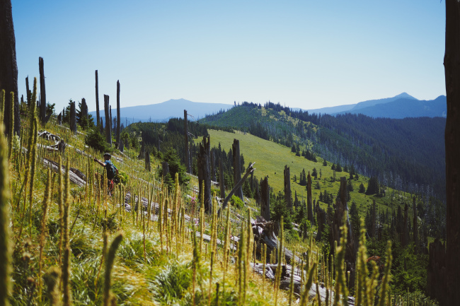
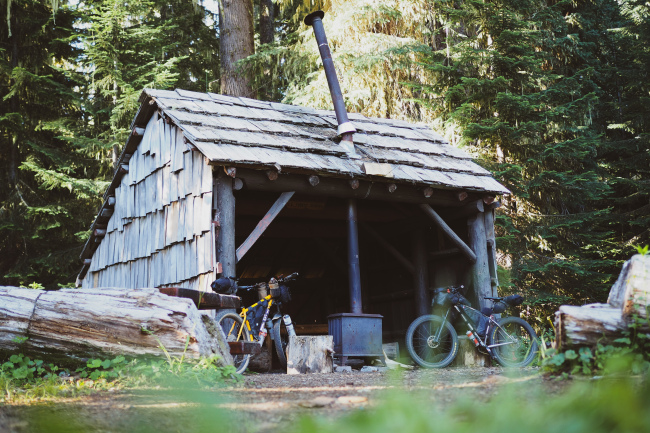
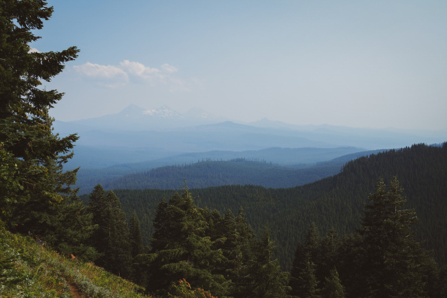
As far as Singletrack is concerned, the almost 10 mile descent from Crescent Mountain to the primitive Shedd Camp, was the highlight of the trip for me. Fast, flowy, all rideable, and completely isolated, when you ride this section, you have it completely to yourself. Miles and I both were all smiles as we called it a night at Shedd Camp.
Day 9 started with a long singletrack climb from Shedd Camp, and then a thrillingly steep gravel descent down to Highway 22, where we took a quick detour to Idanha’s general store to resupply for what ended up being a much longer stint of time than we first anticipated.
It’s worth noting that at this point, my bikes weird bottom bracket creaking had become an all too comfortable background noise in our ride, and Miles’s gear shifting trigger was continuing to act up. There were no bike shops between here and the end of the OTT, though, and we both elected to chance it with our bike woes and carry on.
The rest of our day’s ride consisted of 100 degree temperatures and a nearly 3,000 foot gravel climb before descending down into Breitenbush and staying in a swanky campground near the always popular hotsprings.
Three More Days
The next morning, Day 10 in case you’re counting, we once again had the opportunity to climb 2,500 feet before some gradual descending and level riding led us the rest of the way to Timothy Lake. This was initially seen by both of us as an ‘easy’ day, as much of the ride was pavement. However, after a luxuriously long stop at Triangle Lake – one of approximately 1 million lakes along the way to Timothy Lake – Miles got a little ways ahead of me. My GPS was malfunctioning and I couldn’t tell which direction I was supposed to go, so I of course ended up going the wrong way, and then effectively went in little circles for a while before my GPS got back on track.
In the meantime, Miles had ridden far ahead, most likely assuming that everything was fine. It took us about an hour to reconnect before continuing on, and much of our ‘easy’ day had vanished at that point. But in the end, we still made it to Timothy Lake with a lot of time to spare. We had also realized, going into this day, that our food rationing had been grossly miscalculated, and that we were definitely going to run out of food before our final resupply in Parkdale.
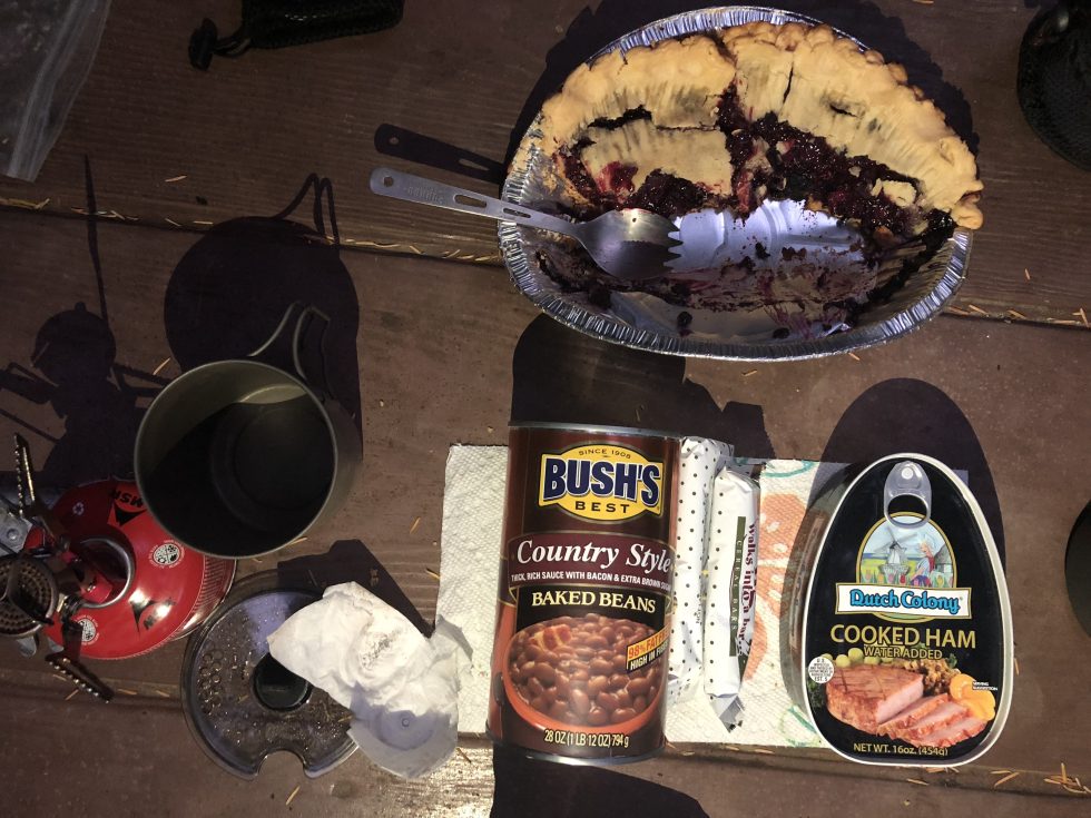
So with our tails between our legs, we walked around the campsite telling our fellow temporarily nomadic neighbors about our ride and our mistake, and then asking if they had any spare food they could share with us. The response was overwhelming. A wonderful mother and her three daughters invited us over for dinner that evening, where we were treated to classic camping cuisine like hot dogs, potato salad, chips, and beans. And then later, one of our neighbors came over to our campsite and told us he heard from some people we didn’t have food, and gave us fried rice with shrimp, as well as some delicious George Foreman Grilled berry popovers. So all of this, alongside some granola bars and other nonperishables, had us completely set for our final push to Parkdale and then Hood River. People really are the best sometimes.
Our penultimate day of the trip – Day 11 – was the final real test of our creaky, run-down bikes and bodies. My GPS died before we finished riding that day, but in the end we rode a little over 70 miles to get to Parkdale, resupply, eat a lot of food at Solera Brewery, and then backtrack and stealth camp at the Toll Bridge County Park, which was for some reason closed, despite it being the middle of summer.
Anyway, what made this particular day challenging was that it had a LOT of climbing, and A LOT of singletrack, which is always slower going than dirt, gravel, and pavement. We left really early from Timothy Lake and had climbed our way up to the singletrack by mid morning, and the singletrack we rode was EXCELLENT. The initial section included a lot of hike-a-bike, but we eventually made it to some really pristine ridgeline riding, with lots of shale-slide and other technical features, making for some good, clean fun. But by the time we were nearing Parkdale, we were both just ready to put our feet up, and the last 3 miles were torture, as the trail drops through and incredibly loose and steep segment of switchback that, for Miles and I at least, was largely unrideable.
Regardless, we felt like we had essentially completed our goal of riding the OTT at this point, and though tired and dirty, enjoyed our victory beers at Solera, and then triumphantly rode our way back to our campsite for the night.
We were in no hurry on our last day of the trip as we slowly sauntered back into Parkdale and enjoyed our weight’s worth of scones and coffee at Blue Canoe Cafe. The final day was full of its fair share of climbing, but at this point we didn’t even care. We knew we had just under 35 miles of riding, the fewest miles of the entire trip, and we knew that the most challenging stuff was long behind us.
Ironically, the most challenging navigating of our ride was day 12, in what is the most trafficked singletrack of the entire OTT: the Post Canyon Trail System. This is the second area of the ride where our GPS routes were just a bit off, and had us trying to take trails in the Post Canyon Trail system that no longer existed.
While Miles and I had hoped to just enjoy this trail system as we jumped and power-slid our way into Hood River, we were off the bikes far too often scratching our heads and even backtracking to try and get ourselves on a route that would point us towards Hood River.
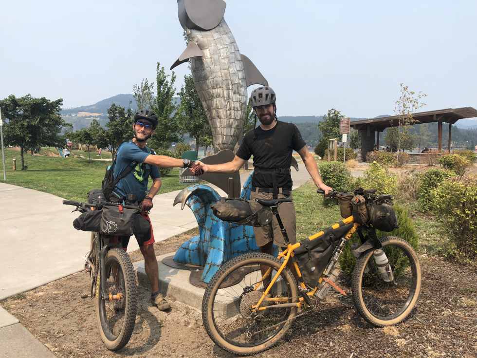
Eventually, we made it through, though, and from the bottom of this trail system it’s basically a 15 minute coast all the way into downtown Hood River, and the iconic Pfriem Brewing, a must stop for any Hood River first timers. Trish and Emily were both there at the finish line to cheer Miles and I into Hood River, and our victory beers and food were pretty sweet.
With the ride over, we all talked about next adventures, the plan for the week (we got to keep Emily and Miles for almost an entire week as they #vanlifed at our house for about a week), and of course, ride highlights. Miles and I both reminisced about our time fondly, and joked about how, despite its many drawbacks, social media does have the power to draw like-minded and like-hobbied people together, and in the process foster an unforgettable experience like riding the OTT with a stranger turned friend.
To see more photos and stories check out Ben’s original post and Miles’ recap on Bikepacking.com


