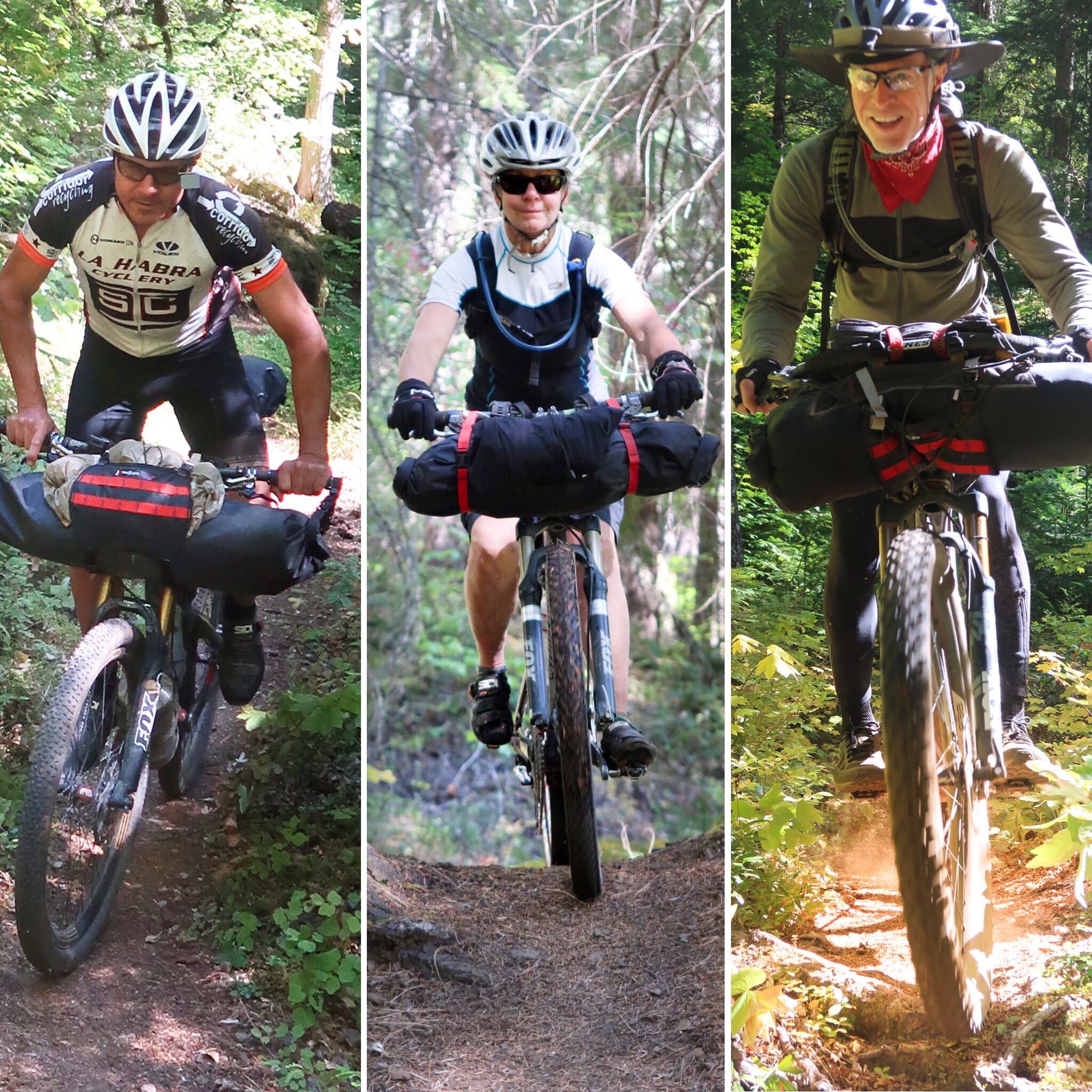
Note: This is a guest post from 2018 OTT riders. If you’ve ridden the OTT and want to share your story, don’t forget to fill out the 2018 Rider Survey and then email us: oregontimbertrail@gmail.com
Originally published on brianlucido.com, head over to read more tips and learn about some important route tweaks.
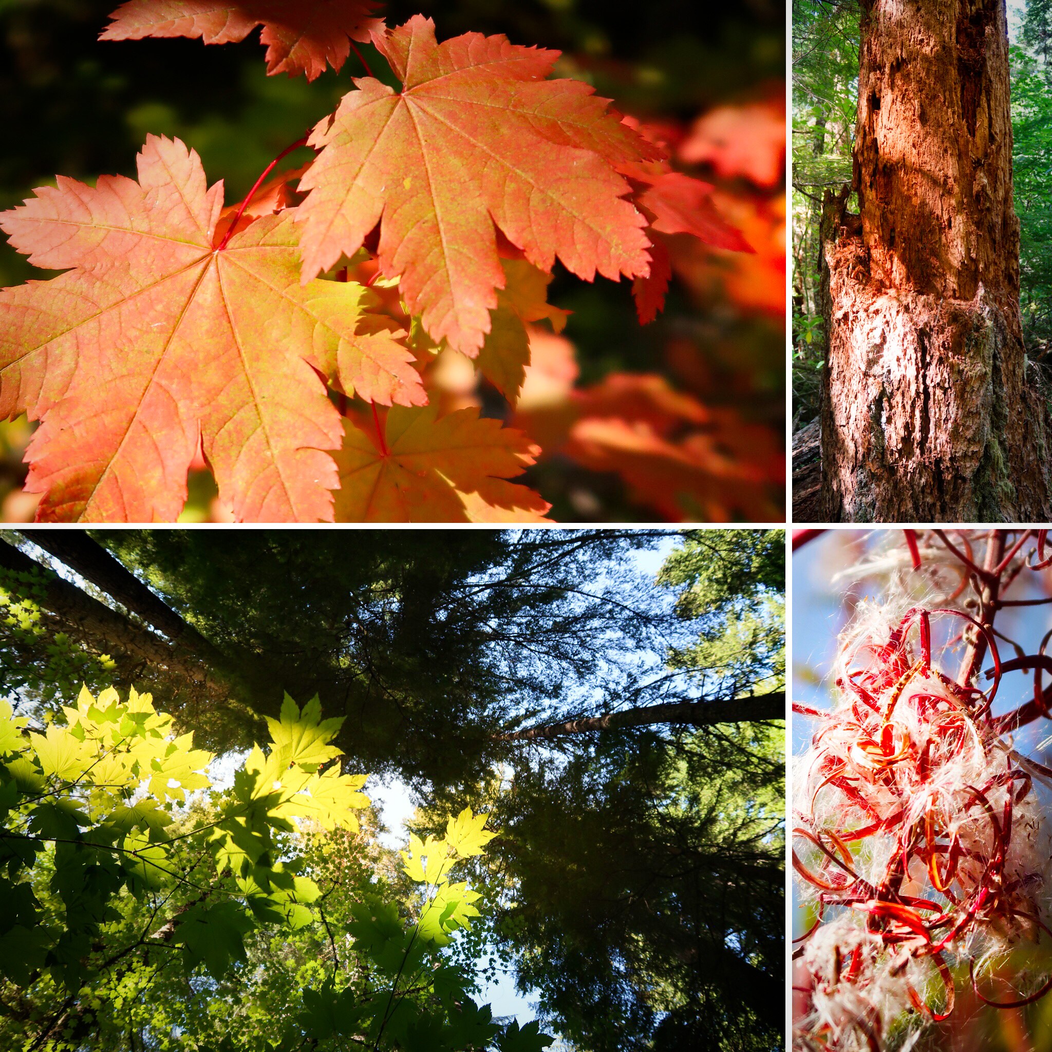
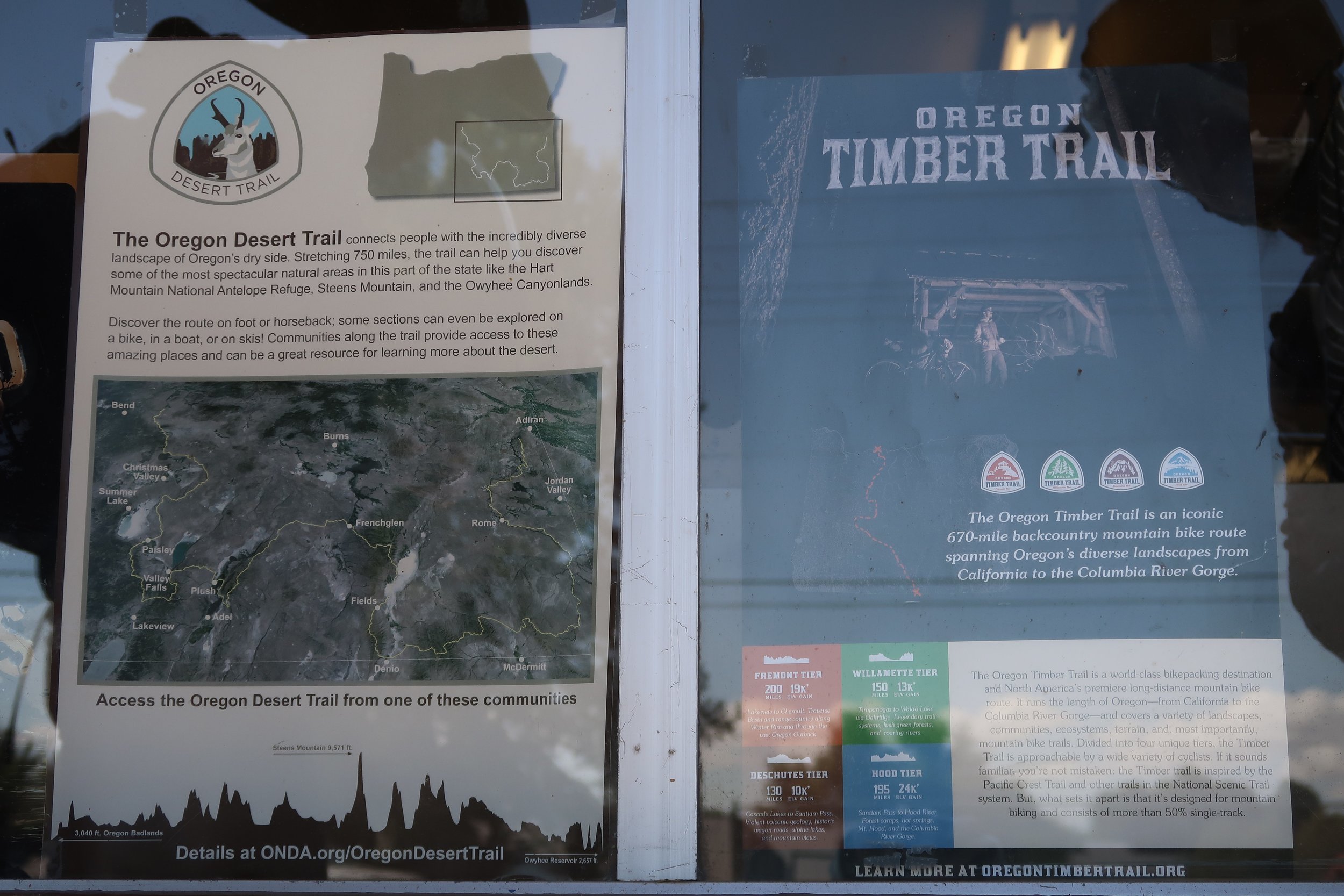
The Oregon Timber Trail is a fantastic bike packing route that traverses the state of Oregon from North to South. Like many of the routes we have been doing lately, it is not our own invention, but instead an EXTREMELY WELL DOCUMENTED route with a 91 page guide for the year 2018. Some people ask, “91 pages!?” – But within the guide there are sections about the history of the area, great photos, and bios on the people who worked together to make this possible. To get the OTT guide, click here. Note that you need to “sign up” to receive it. This allows the OTT alliance to get an idea of who is interested in the route. At each resupply (except for Chemult and Sisters), people we met were very knowledgeable and enthusiastic about the OTT. People in Paisley, Silver Lake, Oakridge, Idhana, and Parkdale all asked us what they could do to make the OTT experience even better. These small communities benefit from tourism, and really seemed to love having bike-packers come through. Feeling so warmly welcomed in each of these communities contributed very positively to our overall enjoyment of the route.
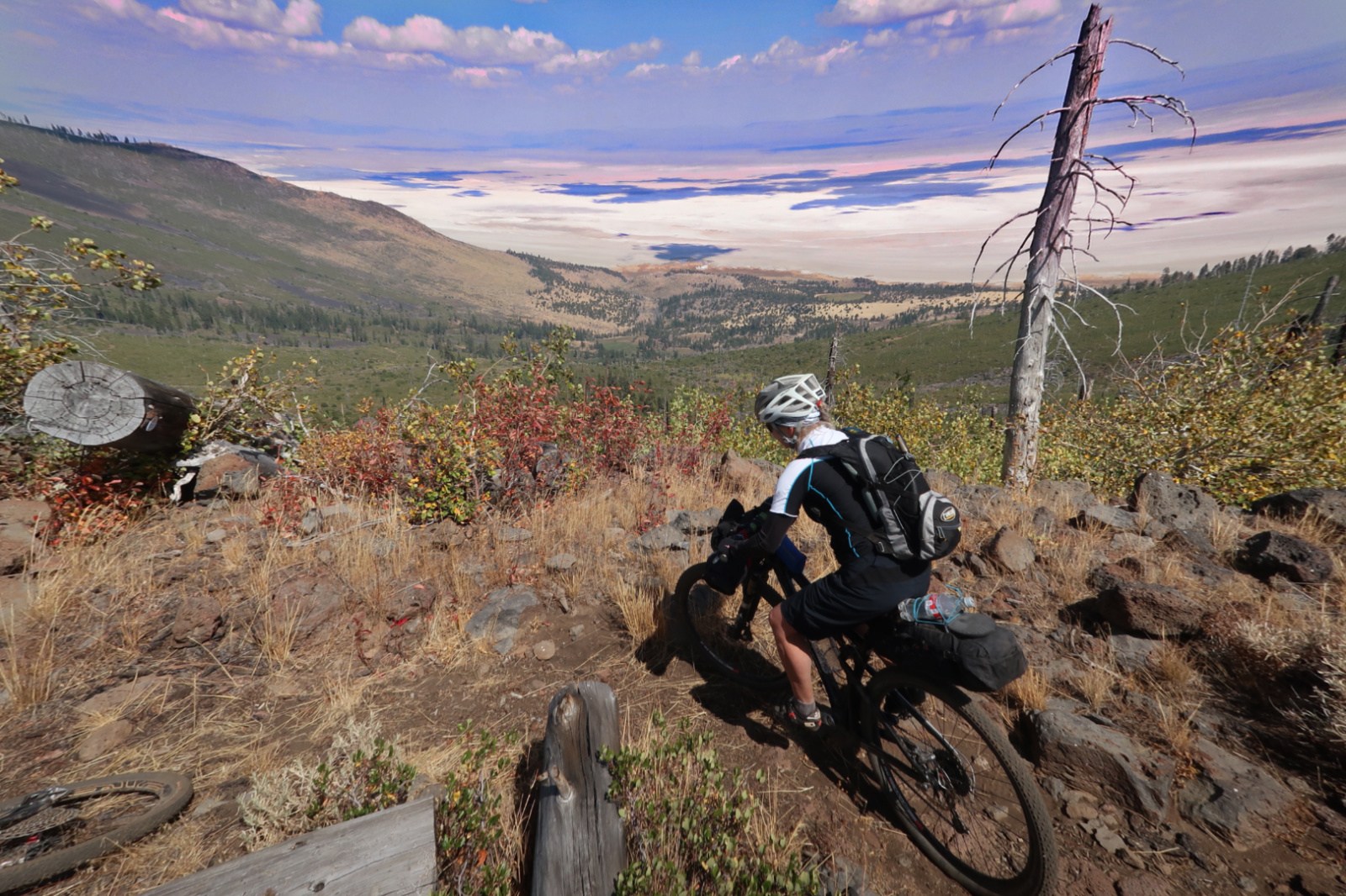
We first heard about the Oregon Timber Trail shortly before doing the Idaho Hot Springs Loop. The route had been published for about a year, and only a few people had done it. We decided to wait until a few more people had ridden it, and for the best weather (which I had scoped out to be September based on climatological data). The waiting worked out perfectly. We got one day of rain, and managed to skirt most of the summer fire smoke. We finished the day of the first significant rain. Also, as the summer went by, we were able to get reports of trail conditions on the Oregon Timber Trail Facebook Page. On that page, we kept tabs on the Watson Creek Fire, and we also learned about minor changes to the 2018 route. Furthermore, we learned about Yamsay Mountain – and how frustratingly hard it was. In July, Gabriel Amadeus posted an alternative route to Yamsay Mountain which we decided to follow.
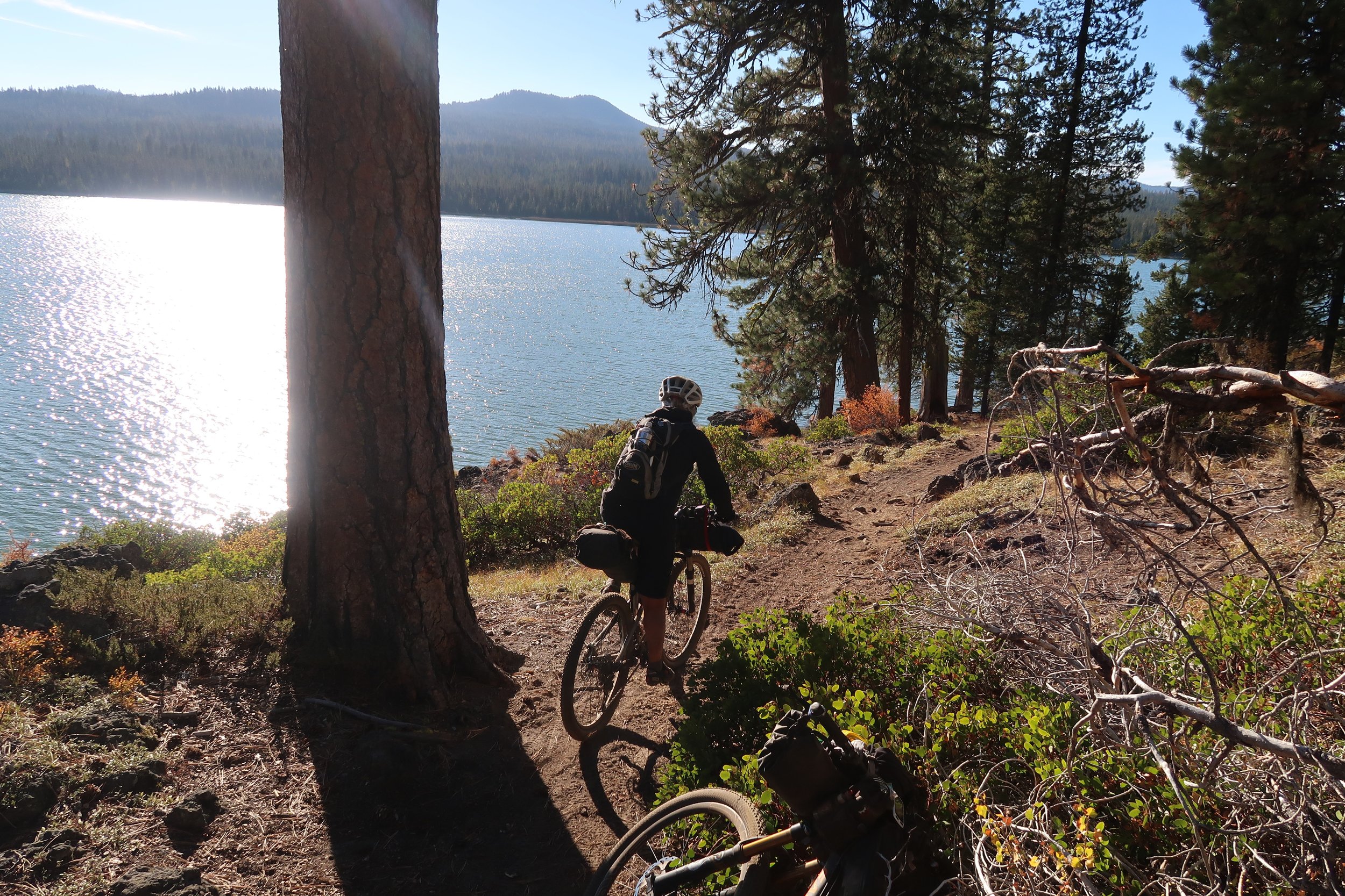
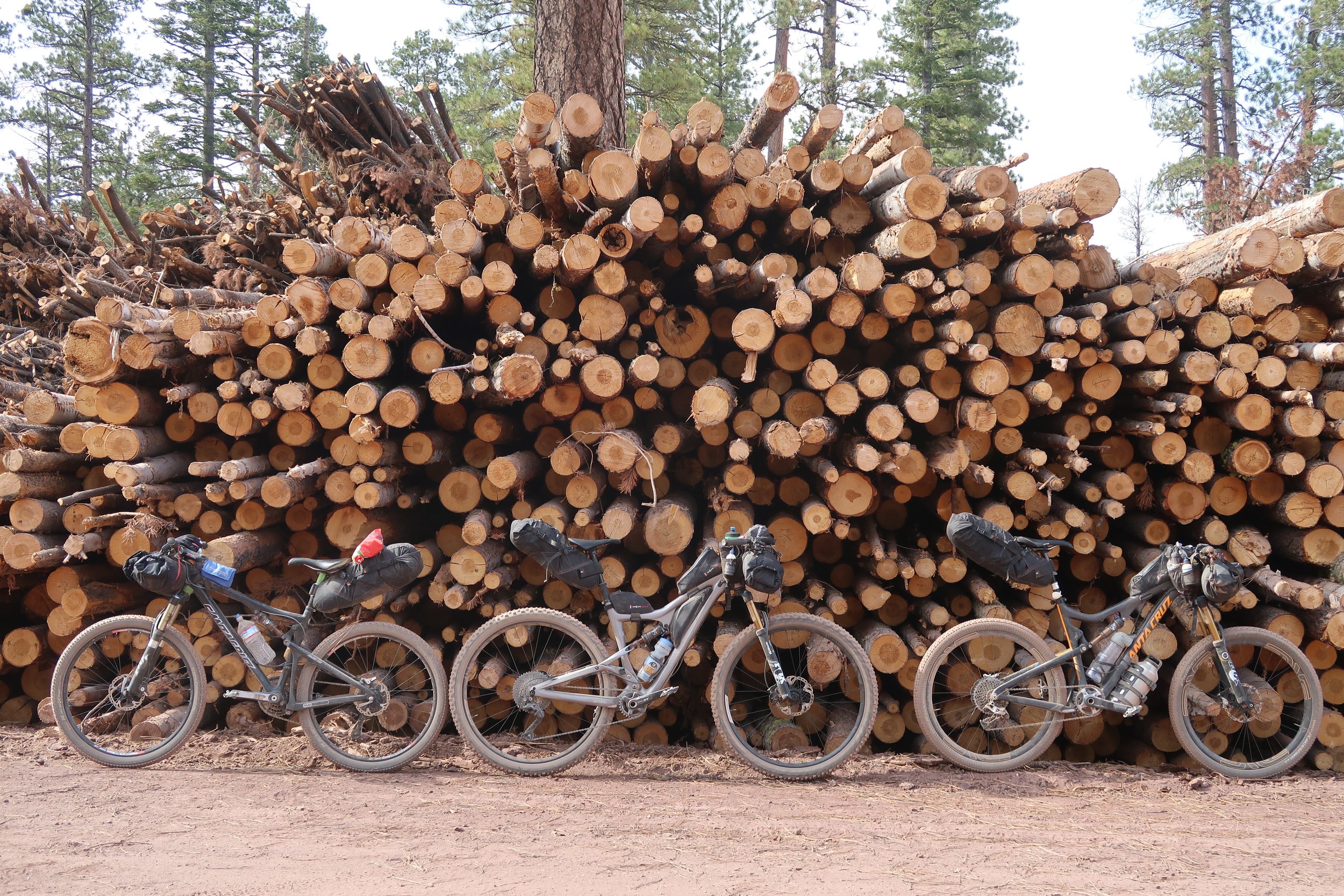
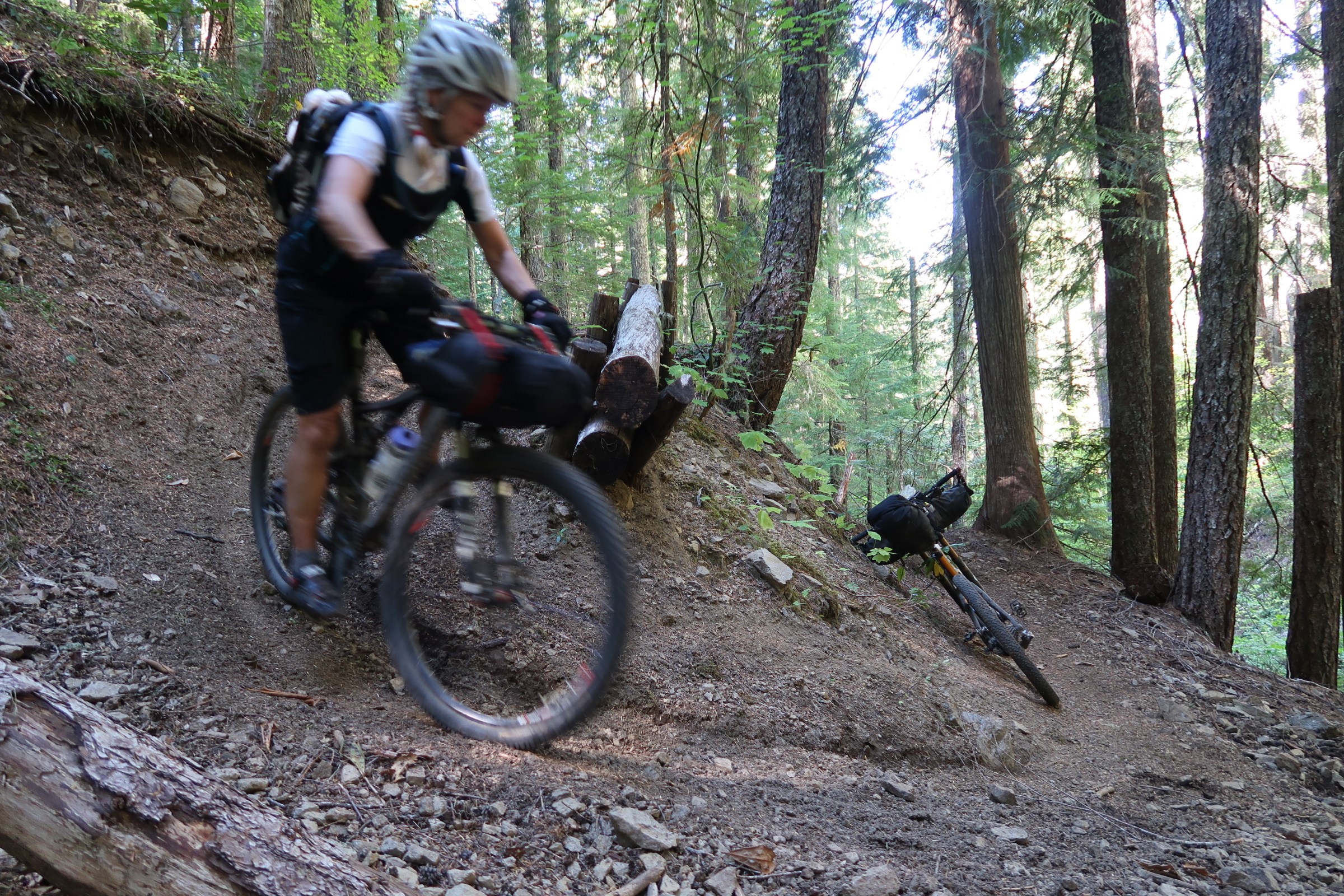
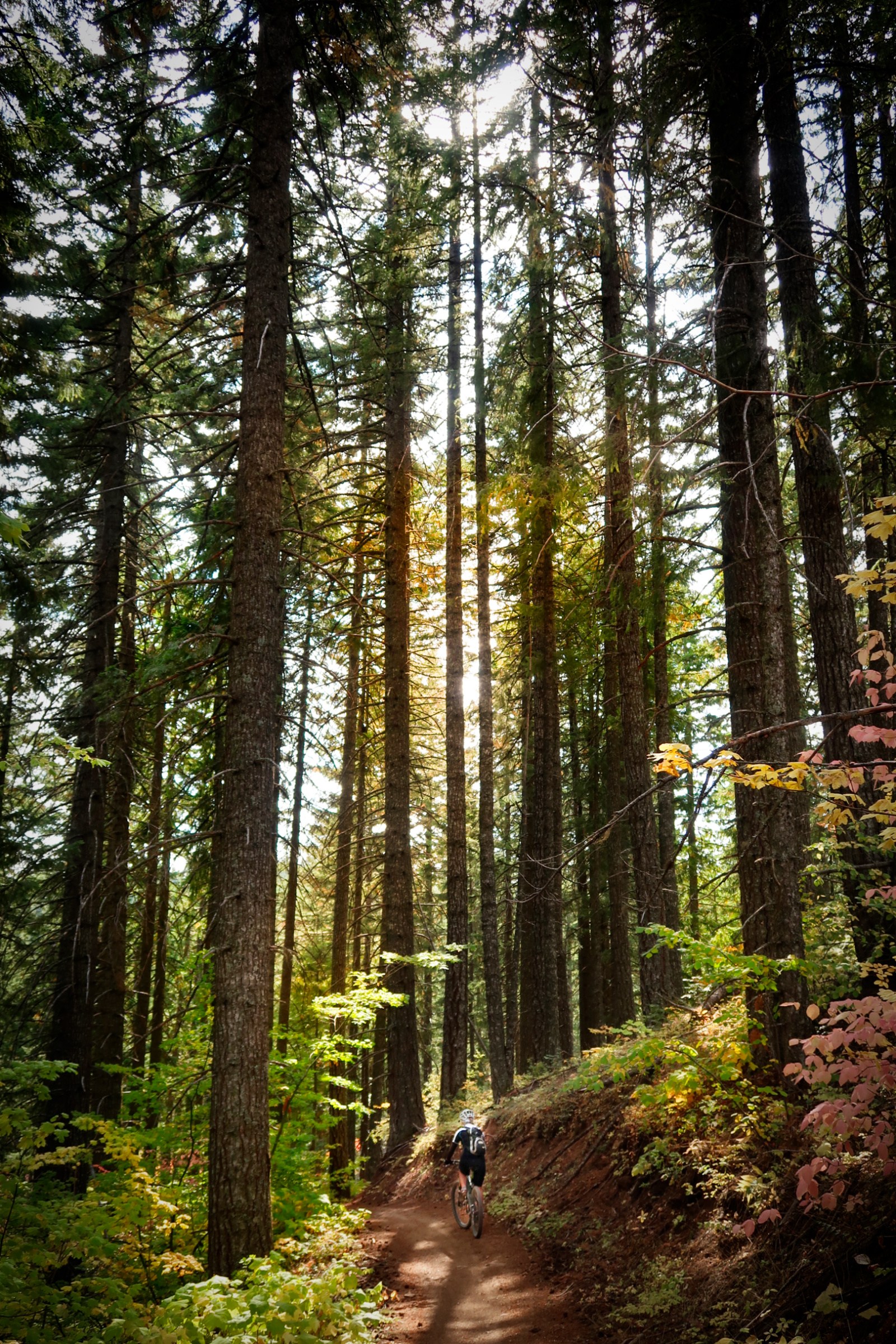
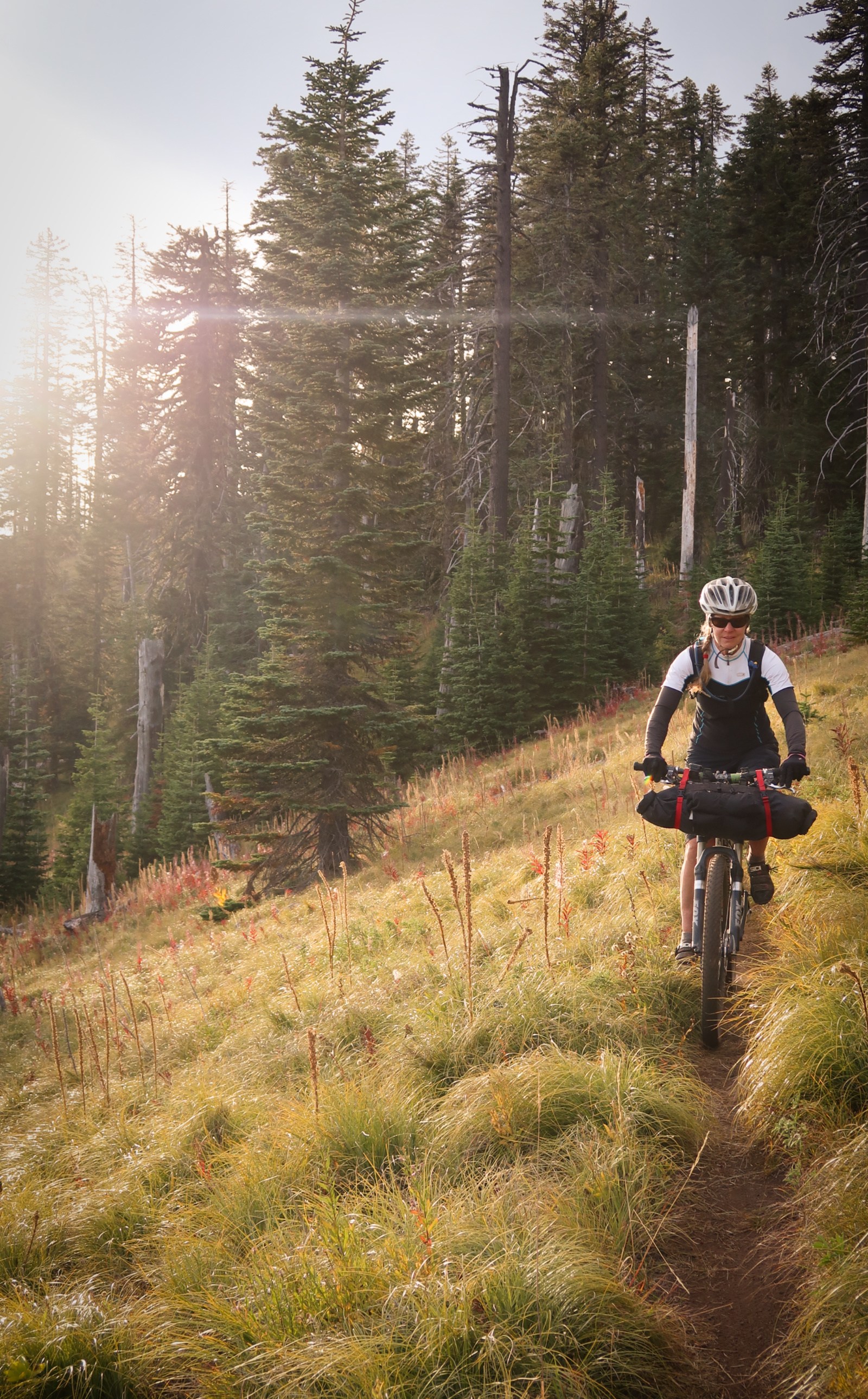
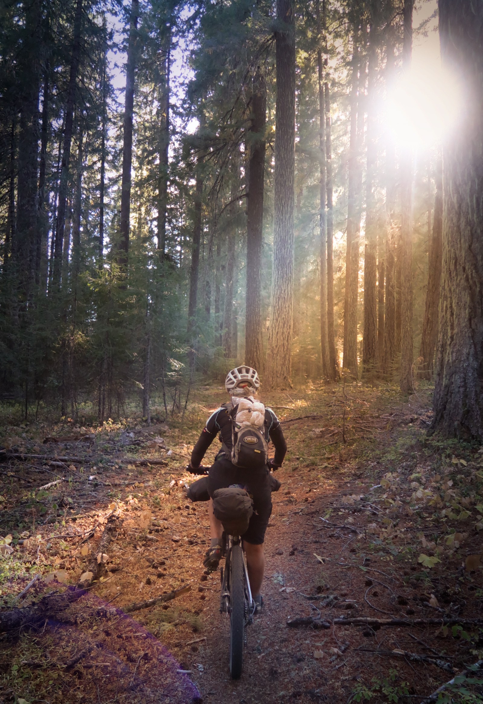
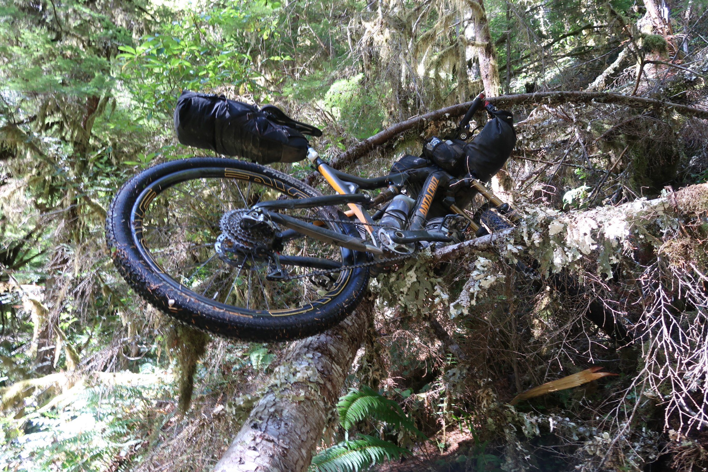
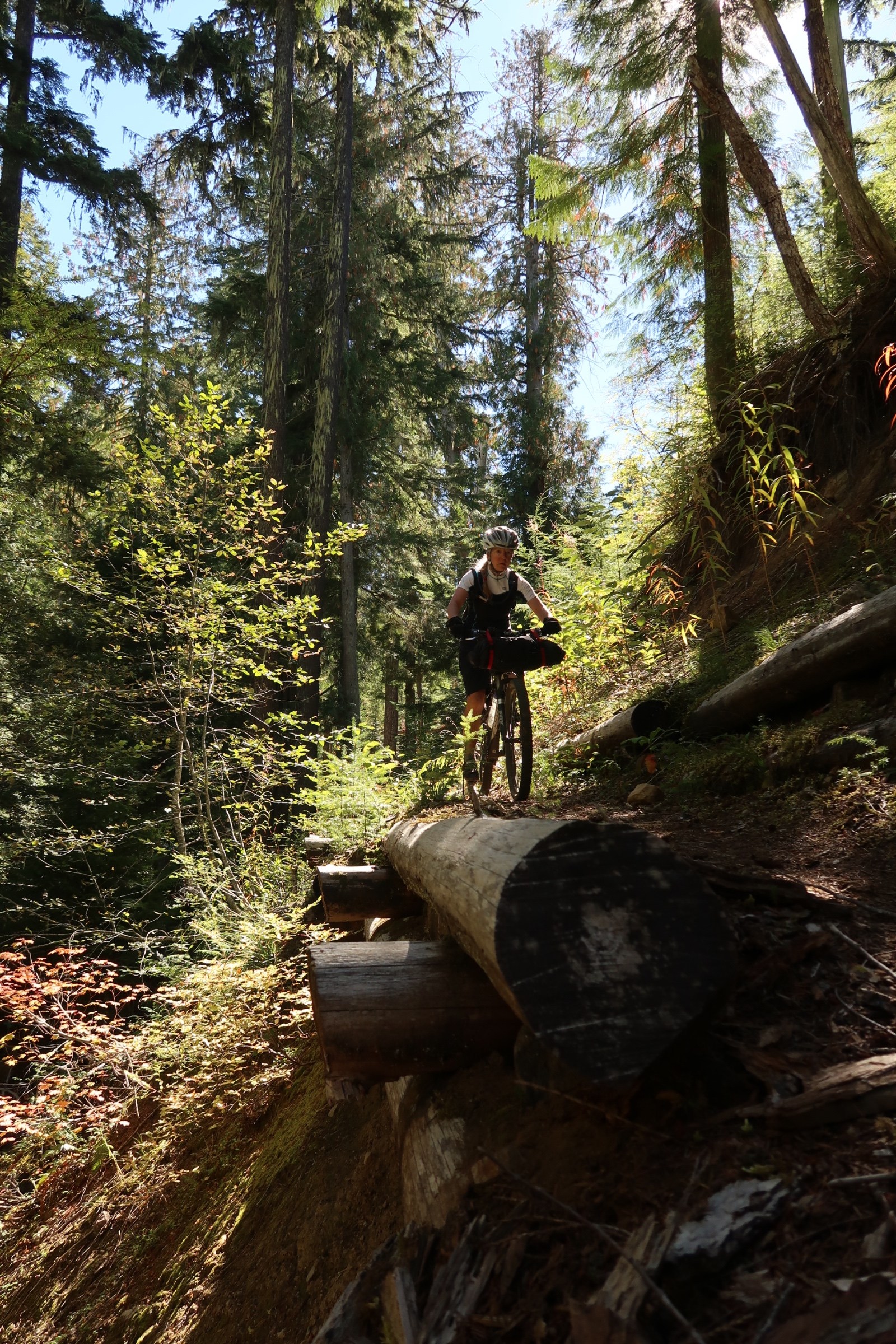
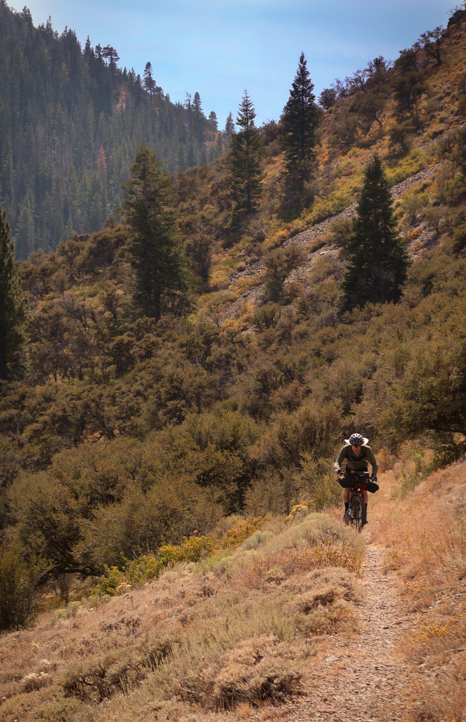
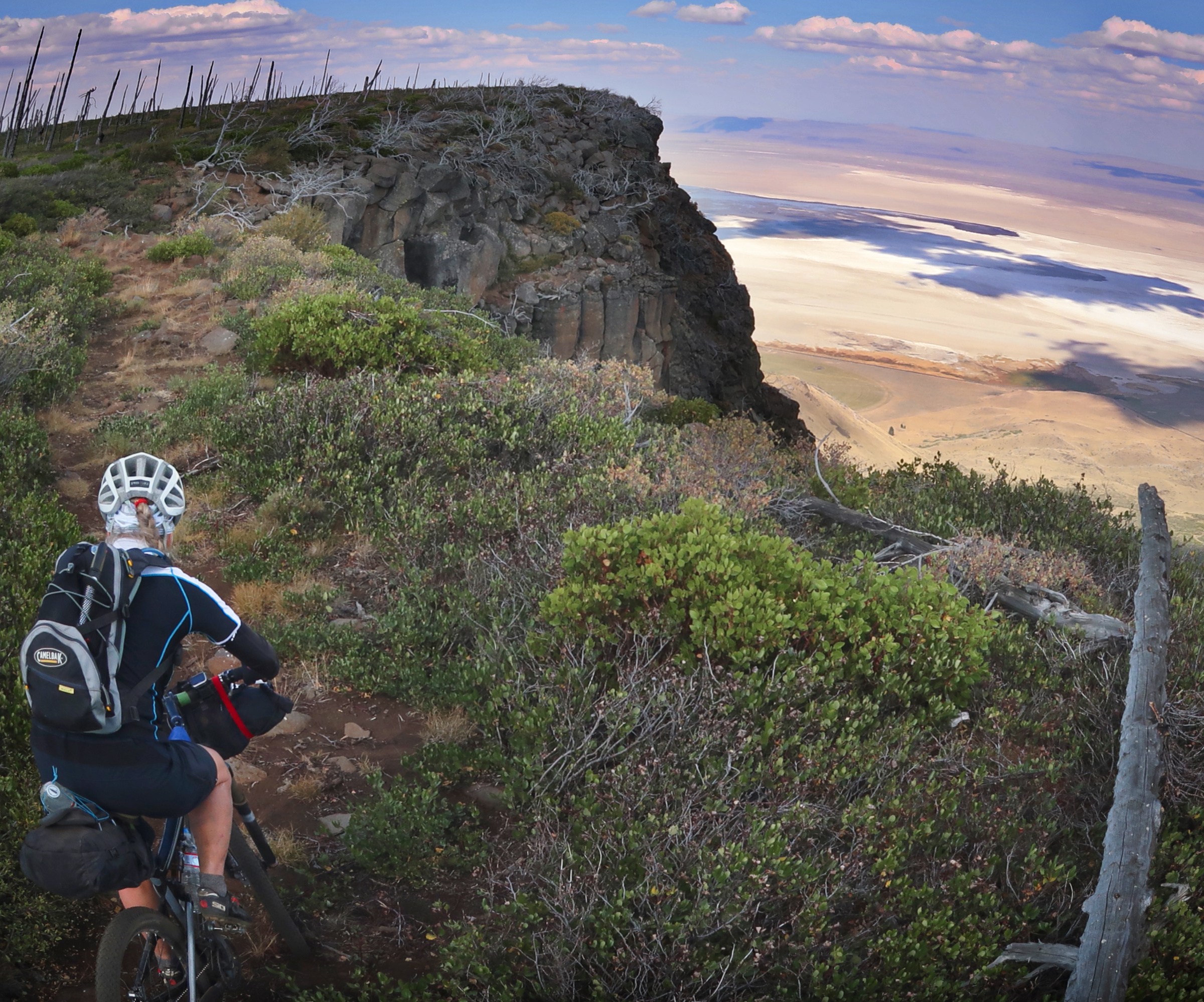
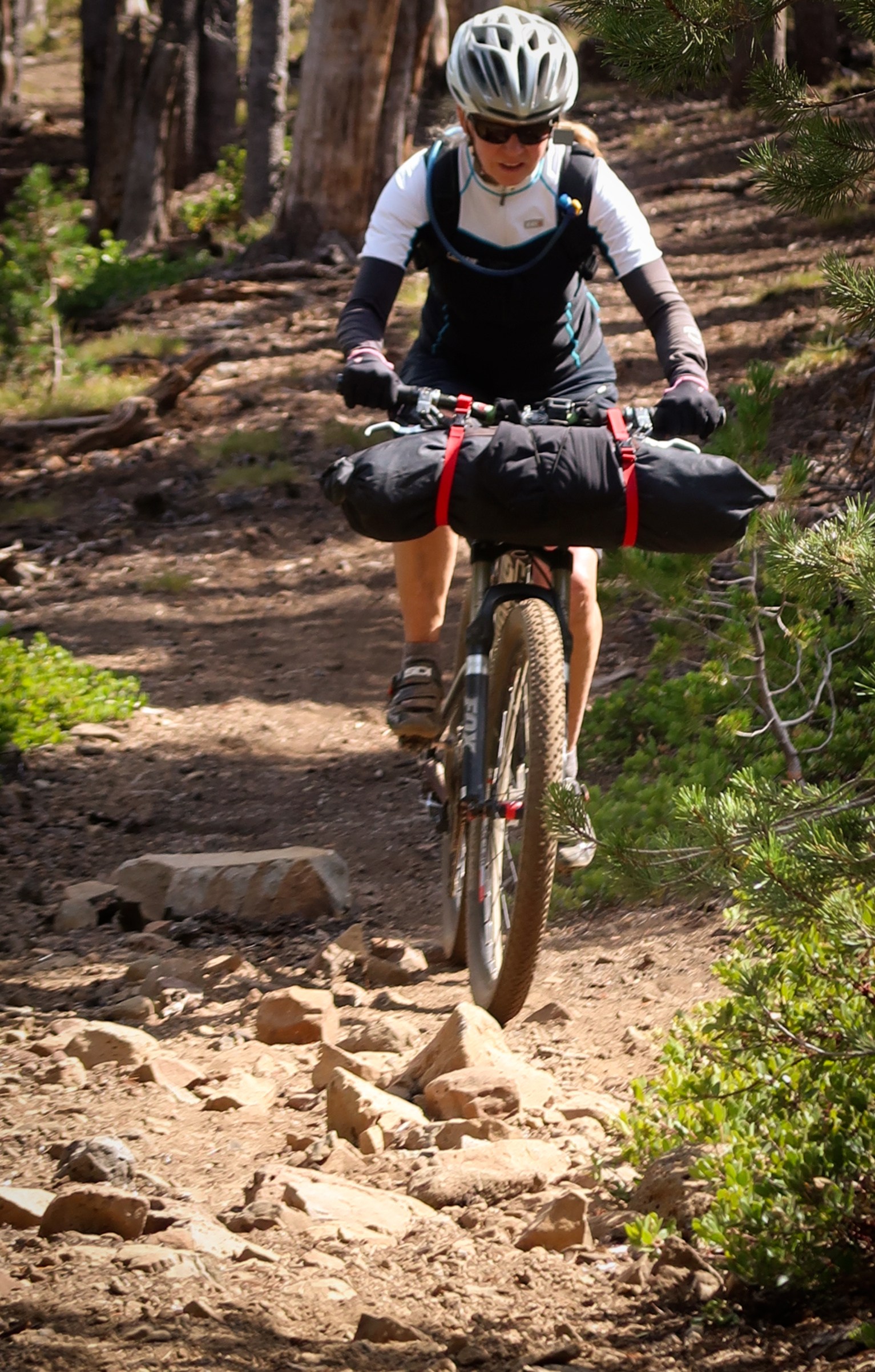
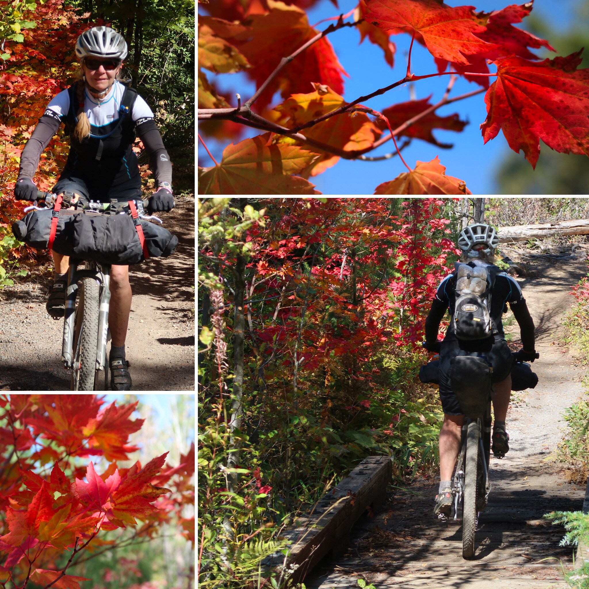
One thing that is special about the Oregon Timber Trail route over other bike packing routes we have done lately is the high quantity of good quality single track. I have mixed feelings about single track for bike packing. On an unloaded bike, single track is just fun. On a loaded bike, it is a little less fun. Sometimes, at the end of the day, we would find ourselves looking forward to some forest service roads over single track because you can let loose a little on that razor sharp focus you need to safely ride some of these narrow single tracks. I think that the best way to enjoy the Oregon Timber Trail is to allocate about 25 days (a little more or a little less, depending on your skill level). That may seem like a lot of time for 660 miles – but you need to know that several of the resupply points are off of the official route, adding quite a few miles to your ride.
I deviated 3 times from the 2018 official route:
1) Due to the Watson Creek Fire, I left the route at the Chewaucan Crossing Trail head, and rejoined by riding up FR29 (which had just opened the day before). This meant that we missed 16 miles of the official route – but it was not all bad. For one thing, we would have had to exit at Chewaucan crossing anyway in order to resupply in Paisley. If there hadn’t been the fire, we would have likely ridden back up the same road we had descended the day before… and we would have missed the wonderfully relaxing Summer Lake Hot Springs. Fire or no fire – if you do decide to visit those hot springs, the only logical choice is to either retrace your steps on several paved miles back to Chewaucan… or do what we did and take FR29.
2) Another deviation was the Yamsay Alternative. People were saying that the official route had tons of downed trees – including on the descent – so we decided to take the forest service roads around this section. I suspect it saved us a lot of frustration – and the reroute was awesome! It wasn’t singletrack, but we saw only 2 cars all day! We combined the Yamsay Alternative with our resupply at Silver Lake City. Here is the GPX file of how we managed to do this without a double-back.
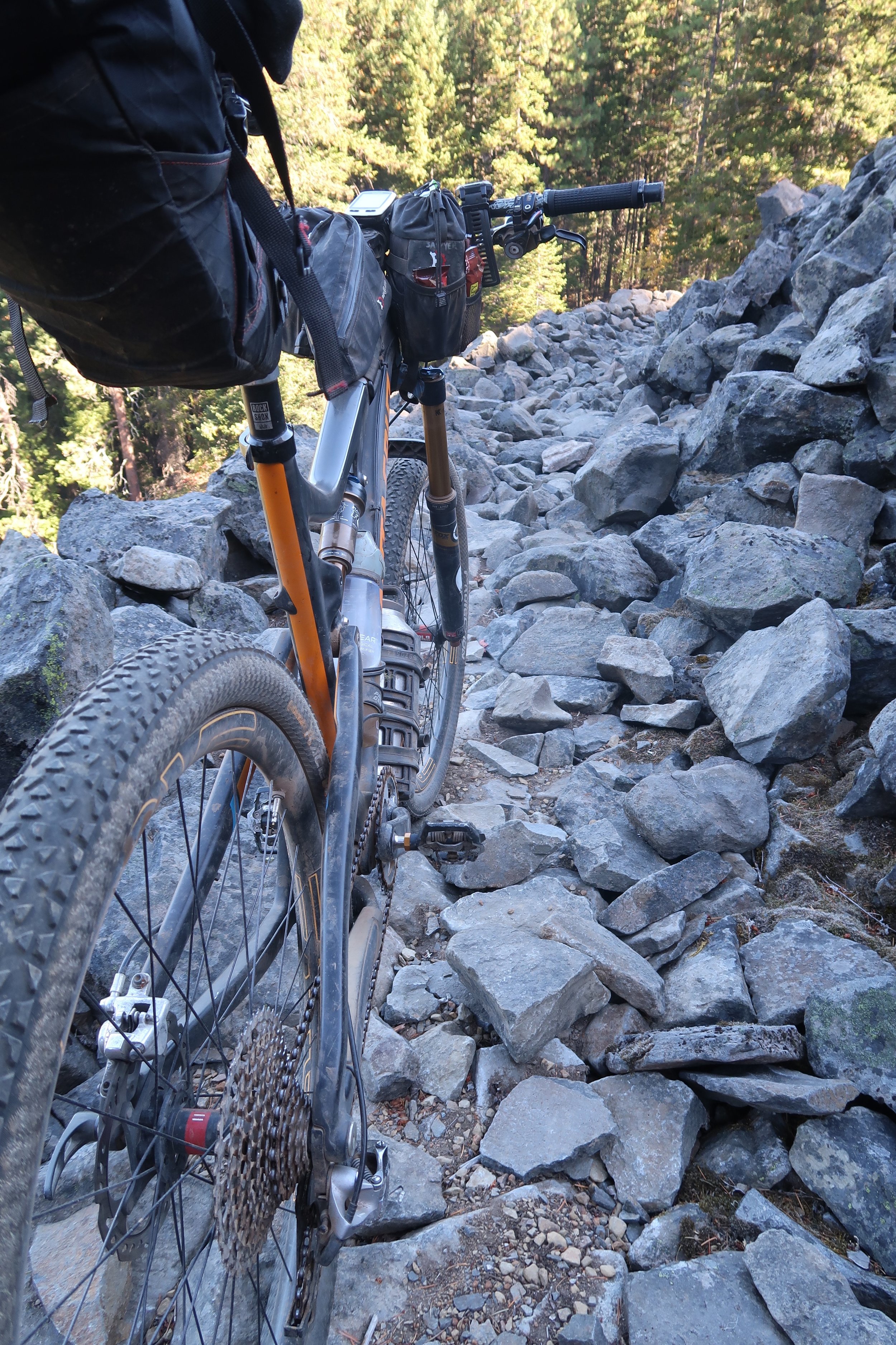
3) The final deviation was that I chose to take the less rocky NF4220 instead of riding past Red Lakes. This route is quite a bit longer, but I found it to be 100% rideable. It also had the advantage of passing by Olallie Lakes Resort. There is a store at Olallie Lakes Resort that caters to PCT hikers. I didn’t find it to be very well stocked – but I didn’t really need anything at the time. I liked the location and scenery, though, and was really glad that I took this detour which is also suggested by the official 2018 guide. Here is a GPX file of that route.
Water
In the Southern Portion of the Route, there were long stretches without water. In the guide, we expected the stretches to be a little longer than they actually were. Therefore, whenever I found water that looked reliable (we were traveling in September, so late season), I would record the GPS point with some notes about the water source. You can use this GPX file as a supplemental water waypoint file to the 2018v2 GPX track provided on the OTT website.