
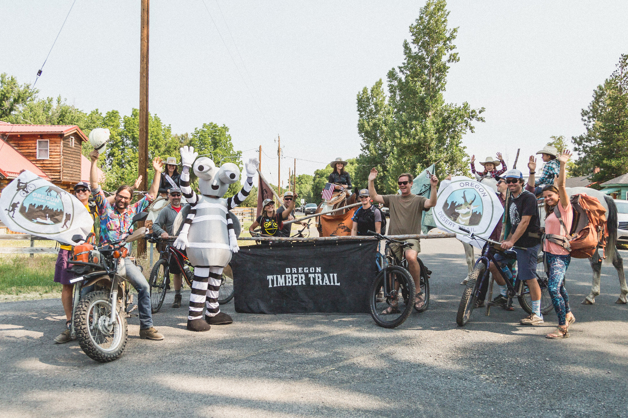
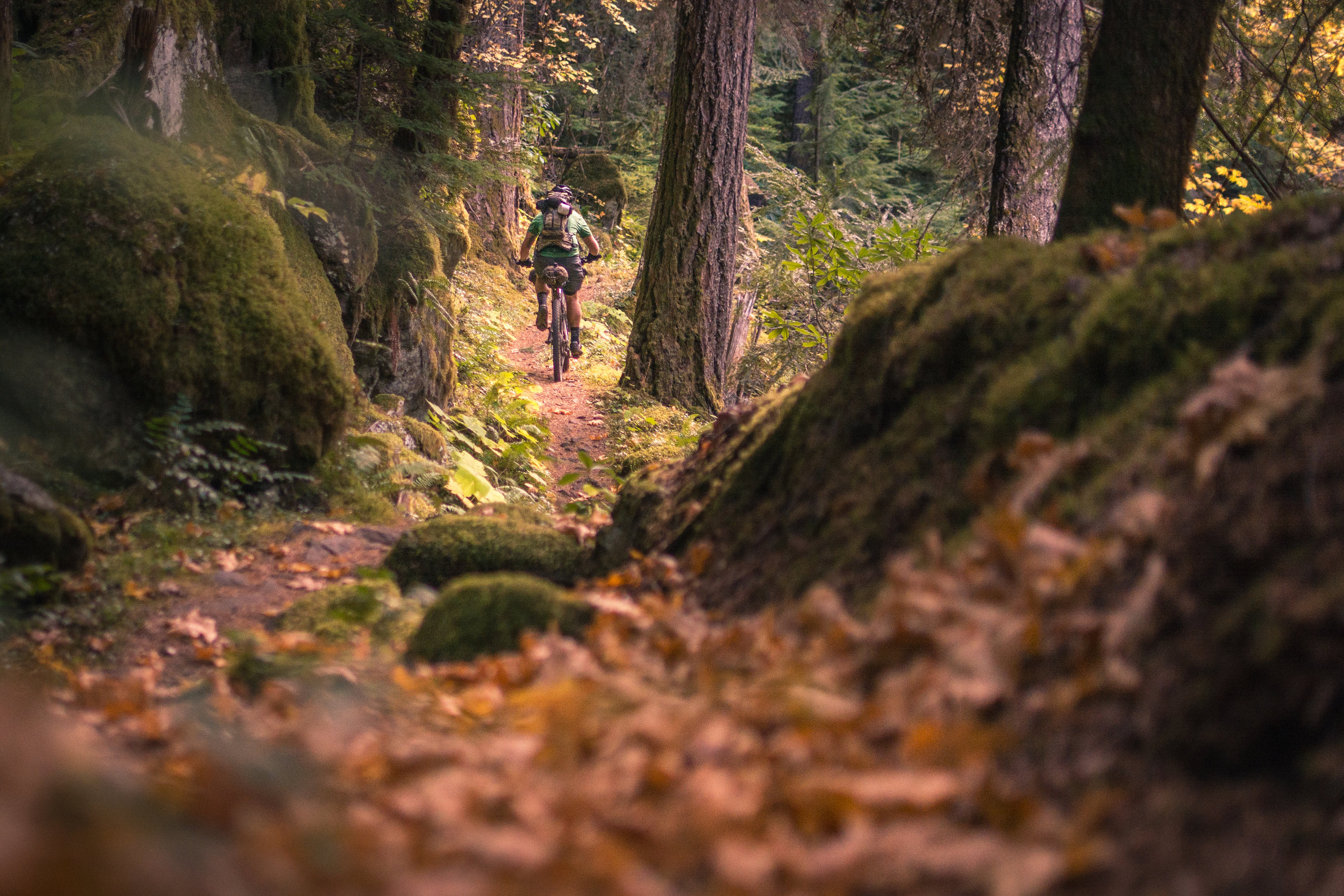
RIDING THE WHOLE OTT

© Gabriel Amadeus
Riding the entire Oregon Timber Trail is challenging, both physically and logistically. This page will provide you with the resources to navigate the route and to prepare for a safe and satisfying trip.
The Oregon Timber Trail is a developing, unrefined route and this guide is likely to be incorrect or lacking in some sections. As a bikepacker, be aware that change is inevitable and adaptability is the best skill you can take with you out on the trail. Stay in touch, we’d love to hear from you after the journey about your favorite areas, the hardest parts and what improvements you think could be made.
Start scheming, plan carefully, rope in some friends and have fun exploring the varied wild landscapes that have enthralled generations of Oregonians before you.
On behalf of the Oregon Timber Trail Alliance we sincerely hope you have a great season exploring the bounty of beauty that is Oregon.

WE NEED YOUR HELP
This lengthy route guide and hundreds of detailed route files took years to develop and are provided to you at no cost. We're happy you're interested in exploring Oregon!
If you find these resources valuable, please consider donating to the Oregon Timber Trail Alliance. We're working constantly to maintain the trail, build new singletrack, and improve your backcountry experience.
Thank you.
Donate to the OTTA ➜
ROUTE GUIDE & GPS FILES
Interested in riding the Oregon Timber Trail? The route is actively being developed and the trails are continuously being rehabilitated so if you're looking for a rugged, primitive experience this may be it. But it's not ready for everyone and may never be. That's what makes it such a special backcountry experience. Read this guide and examine the map files closely, they'll probably answer most of your questions.
Want to connect with other riders who have ridden or are planning to ride the Oregon Timber Trail? Still have questions or want to chat logistics?
Join the Oregon Timber Trail Riders Facebook group here. ➜
While we try to provide up to date and accurate route maps here, many detours and closures exist that may not be aware of. Please verify current trail status and conditions with the appropriate land manager. The detours and closures that we are aware of are listed on the “Ride the OTT” page:
ROUTE GUIDE Contents:
Download Center ➜
PLANNING
Getting there
© Gabriel Amadeus
The route can be ridden in either a northbound or southbound direction, though the alignment is designed with northbound travel in mind. Not only is there is a net elevation loss, but getting to the California border is simpler at the beginning of your trip than the end.
The route begins about 20 miles south of Lakeview, Oregon on the California border. The closest public transit to the southern terminus is the Sage Stage to Alturas, CA. Alturas is roughly 60 miles south of the California border and the Alturas-Highgrade Approach (find this approach route on oregontimbertrail.org) is a mostly offroad route from Alturas to Cave Lake. Sage Stage buses with bike racks travel to Alturas from Klamath Falls, Redding, and Reno on weekdays only, reservations required: (530) 233-6410 or sagestage.com.
If you are coming from Portland, an Amtrak train runs to Klamath Falls which is roughly a 100-mile road ride to Lakeview, or if you prefer to stay on dirt, use the suggested Klamath Falls start option on OregonTimberTrail.org to tie into the Oregon Timber Trail at Moss Pass (Mile 70).
Shuttle operators are also available to shuttle you to the southern end of the route:
Zach’s Bikes, Klamath Falls, Oregon
Portland Sag Wagon, Portland, Oregon
Getting home
Your best options for transit in Hood River at the end of your journey are:
Columbia Area Transit
(541) 386-4202 or catransit.org
Columbia Gorge Express
(888) 246-6420 or columbiagorgeexpress.com
Enterprise, Greyhound, and U haul are all options as well.
Long term parking
Contact Tall Town Bike and Camp for long term parking in Lakeview. Parking in the City of Hood River is very limited.
Stay connected
Many changes, trail closures, weather alerts, and important information will likely arise. We’ll try to post all important updates here on OregonTimberTrail.org and in the associated email newsletter, but use the Facebook group “Oregon Timber Trail Riders” to communicate with other pioneer riders about current trail conditions and planning logistics.
Is this route for you?
A route like the Oregon Timber Trail is unique and inspirational. Many people want to ride it, however, not everyone possesses the skill and experience required to ride it safely. You can ride it fast or slow, and make it easy or hard on yourself, but there is a baseline of experience that you should have before attempting the whole route. The Oregon Timber Trail is more difficult than the Oregon Outback, the Great Divide Route, and the Baja Divide. The Oregon Timber Trail falls more in line with the likes of the Arizona Trail and the Colorado Trail. It is strenuous, technical, challenging, remote in some sections. Make sure you are prepared physically, mentally and technically. It’s important not to let your ego get in the way if you end up over your head. Many easy bail options exist, and there’s no shame in coming back to finish the job next year.
Southbound or Northbound?
“The kindness you find out on the trails is what keeps me wanting to return. You don’t typically find these spontaneous and selfless interactions in everyday life here in the city.”
This route guide and the GPS materials are designed around starting at the southern border and traveling northward. That being said, riders have tackled the OTT riding southbound as well. If you want to start in Hood River and ride to California we suggest the following route modifications. Be aware that the ratings, the highlights, and the climbs and descents will all be much different heading south.
1) Leaving Hood River the best climbing option through Post Canyon is probably the road instead of the more gravity-focused trail. For that matter you may want to skip this section entirely and leapfrog to Surveyors Ridge along the east side of the Hood River Valley.
2) After leaving Oakridge, most of the Middle Fork Trail is rideable in an uphill direction but you may want to hop onto paralleling forest roads when it gets really steep.
Riding Logistics
Be a (nice) ambassador
You’ll be traveling through areas that will be visually stunning and through communities that are not accustomed to people traveling on bicycle. Say hi, share a story, buy them a beer, or ask where their favorite swimming hole is. We’re all ambassadors of the Oregon Timber Trail and we want to leave a good, friendly, and respectful impression everywhere we go.
© Dylan VanWeelden
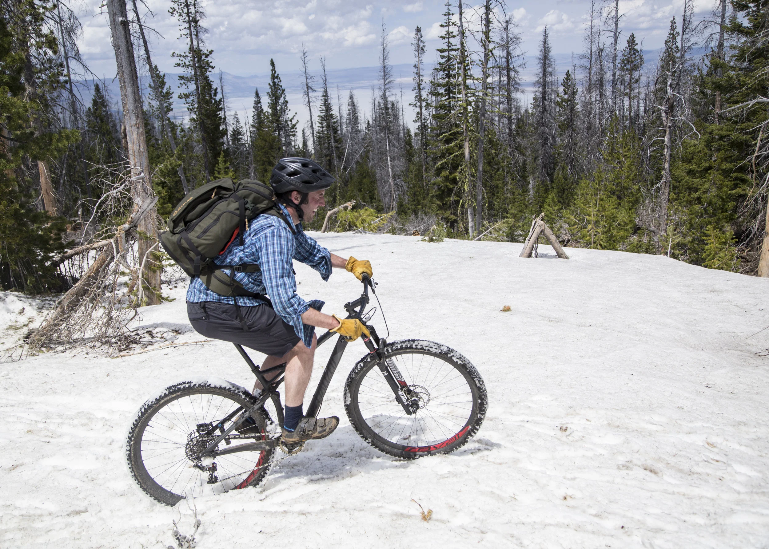
Season and Climate
High-elevation snow pack usually clears up by mid-June, but note that many backcountry trails may still be blocked by fallen trees which may not be removed until mid-late summer by trail stewardship volunteers.
Most of the route is above 4,500 feet and parts will likely be under snow well into June. (Timpanogas area will likely be the last to melt out each year) Snow flurries can begin to fall again as early mid October. Expect freezing temperatures overnight at high elevation almost anytime of year, as well as heat during the day reaching 90º or higher. The Fremont Tier will typically be the hottest and most sun exposed of the whole route, while the Willamette Tier will have the highest likelihood of precipitation.
The route is open to bikes during the summer months unless otherwise noted in the route guide, though nearby trails may have seasonal closures due to wildlife or safety concerns. Other temporary closures may occur for various reasons throughout the season, please adhere to any posted signage and check OregonTimberTrail.org for updates. Nearly all the trails and roads the OTT is comprised of are multi-use—you’re welcome to enjoy the route on foot or horseback as well as bicycle.
Navigation and wayfinding
© Gabriel Amadeus
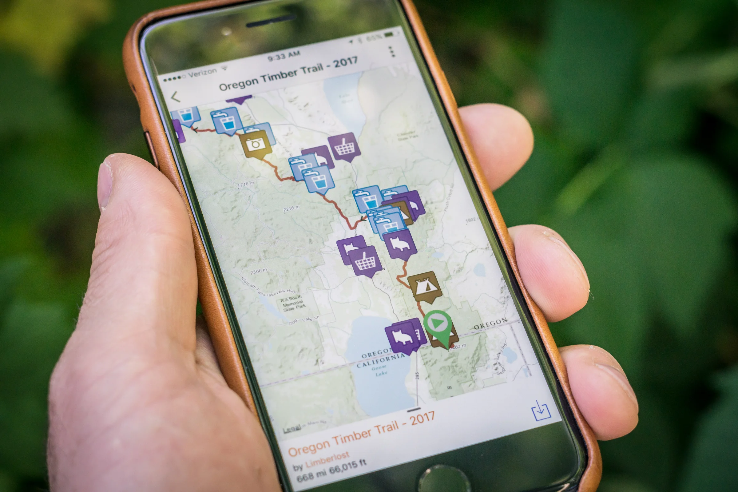
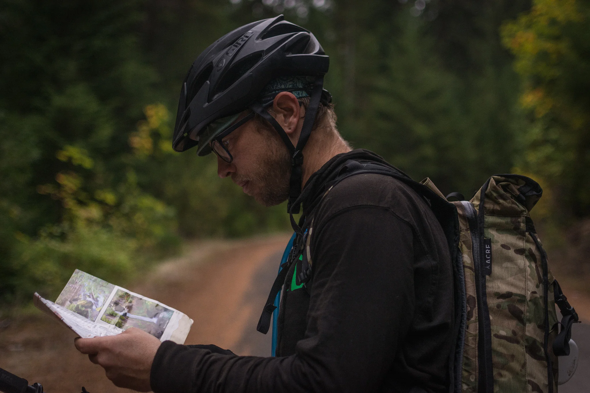
The Oregon Timber Trail follows existing trails and road systems throughout the state. The surface, quality and signage of these roads and trails can vary dramatically. It is up to the rider to obtain detailed paper maps and GPS files before attempting a thru-ride or segment ride. The GPS and waypoint route files found on OregonTimberTrail.org are integral to successfully riding the OTT, as is this written route guide.
Route Guide
This route guide breaks down the Oregon Timber Trail into an overview, four tiers, and ten segments. These are based on natural landscape changes and resupply points. The route guide will serve as a long-form description of the route and what to expect in each area in terms of highlights, terrain, riding conditions, landscape, resupply, historical context, ecological sensitivities, seasonal closures, lodging and off-route opportunities.
GPS File
The GPS tracks are your primary tools for navigation. The majority of the route has no cellular service, and having a navigation system that works offline is mandatory. The alignment of the Oregon Timber Trail is fluid and may change slightly year-to-year as barriers, or better alignments arise. You’ll need to download the most current version from OregonTimberTrail.org. In order to use the GPS track you’ll need to upload it to a GPS device like a Garmin or a smartphone app. There’s typically a bit of a learning curve with this process and we suggest getting comfortable with the interfaces before venturing out on the Oregon Timber Trail. Having paper maps or detailed topographical map files downloaded to your GPS device as a backup is highly recommended.
Waypoints
Waypoints or POIs serve as key indicators of trailheads, resupply points, good campsites, potential water sources, lodging, bike shops and other route highlights. These should be uploaded to your GPS device in addition to the track, and often include valuable notes about the resources and trail. They are included in each GPX file.
Digital wayfinding
There are many different types of GPS devices and mapping apps, all with varying features. Bikepacking.com and other websites detail how to use these tools to not only follow a route, but also to navigate in the backcountry and make complex, informed decisions. Make sure your device will stay charged, show you detailed topographic maps even while offline, and can display not only the route file, but also associated waypoints. Test your navigation system and ensure you are familiar with its limitations before embarking on the Oregon Timber Trail.
Paper Maps
There is no one paper map or map publisher that covers the entire Oregon Timber Trail route. Maps such as the popular Gazetteer are all but useless for a route at this scale. That said, roughly 80 percent of the planning and wayfinding can be accomplished with the following print maps:
Adventure Maps: Oakridge, Bend, Mount Hood, Hood River
National Geographic Trails Maps: Three Sisters, Mount Jefferson, Mount Hood, Columbia River Gorge
Resupply & water
© Gabriel Amadeus
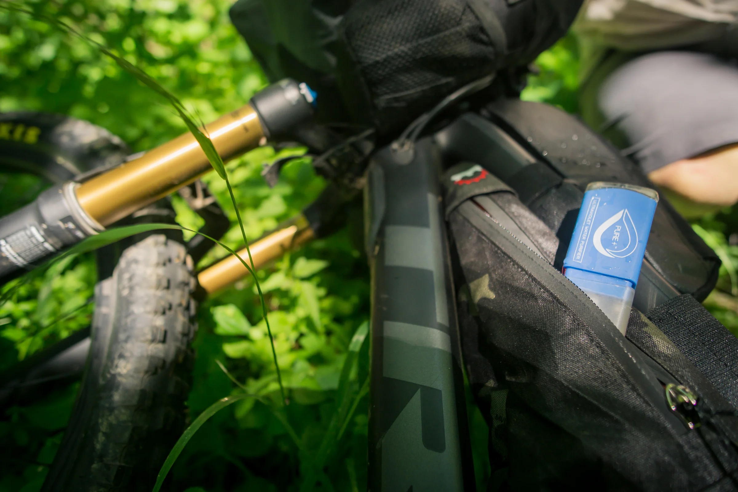
Water sources on this route are limited, especially in the Fremont Tier, and may dry up as summer progresses. Waypoints for these potential water sources are included in the GPX files. Don’t assume that every source will have water; carry more water than you expect to need and have alternate plan. Carry a backup means of chemical water treatment like Aqua Mira; or be prepared to treat your water by boiling. In areas where water is more prevalent (available roughly every 10 miles or more) water waypoints are not noted in the digital route files.
In 2019 we created a publicly editable database for water sources along the trail. Check it out and add your notes in the rightmost columns where you’ve ridden the trail. This resource can be opened in Google Sheets and saved for offline use. When you re-enter cellular service your changes and notes will be synced with the master document.
Food resupplies are also limited. To maintain the backcountry essence of the route, larger cities with full-service grocery stores are rare and most resupply points will have minimal food choices and limited hours. Pack up your leftovers, carry dry meals, and figure out how to get creative with convenience store fare. In addition, many of the remote resort resupply points close after Labor Day. Call ahead to stores if you have particular concerns or questions about services and hours.
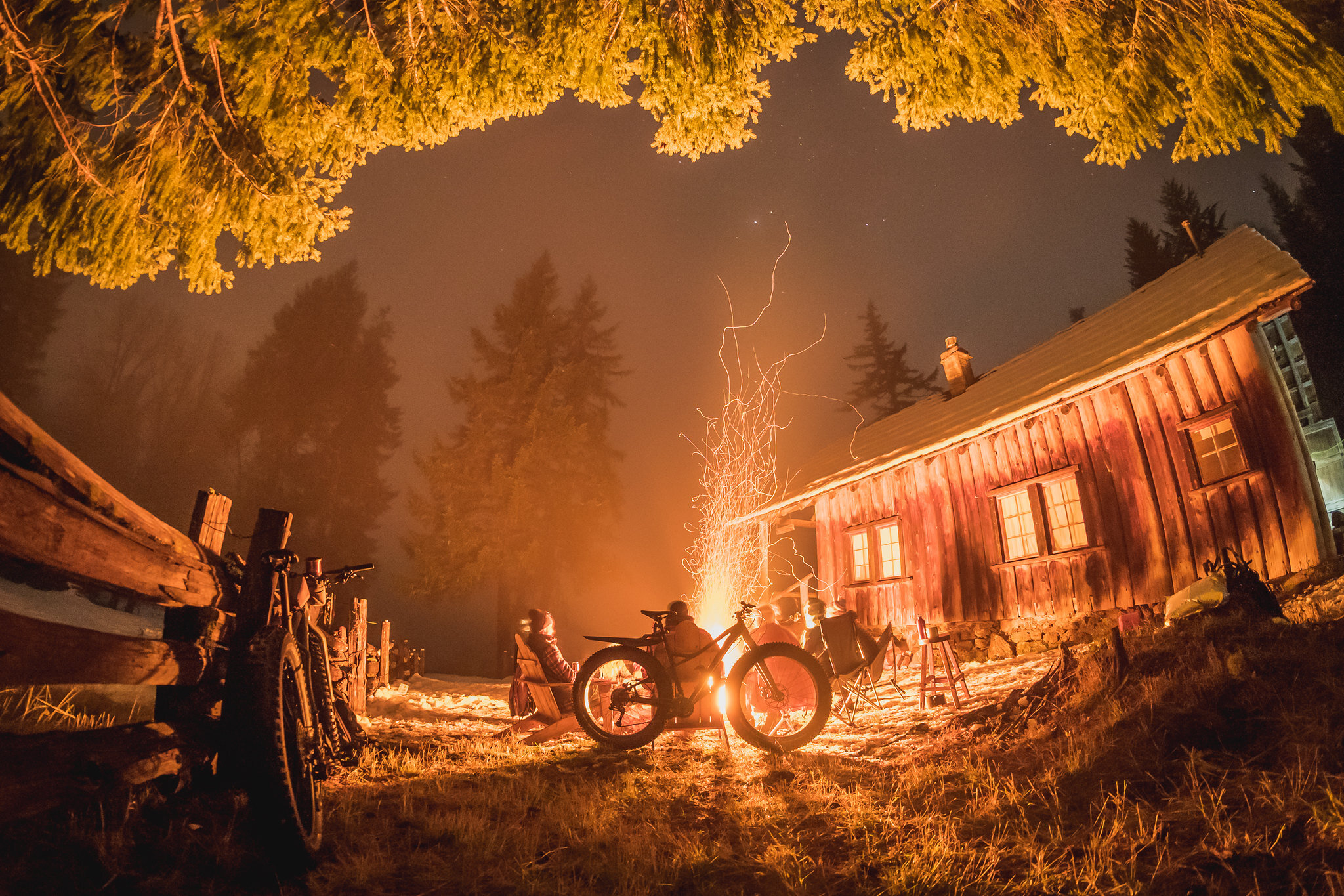
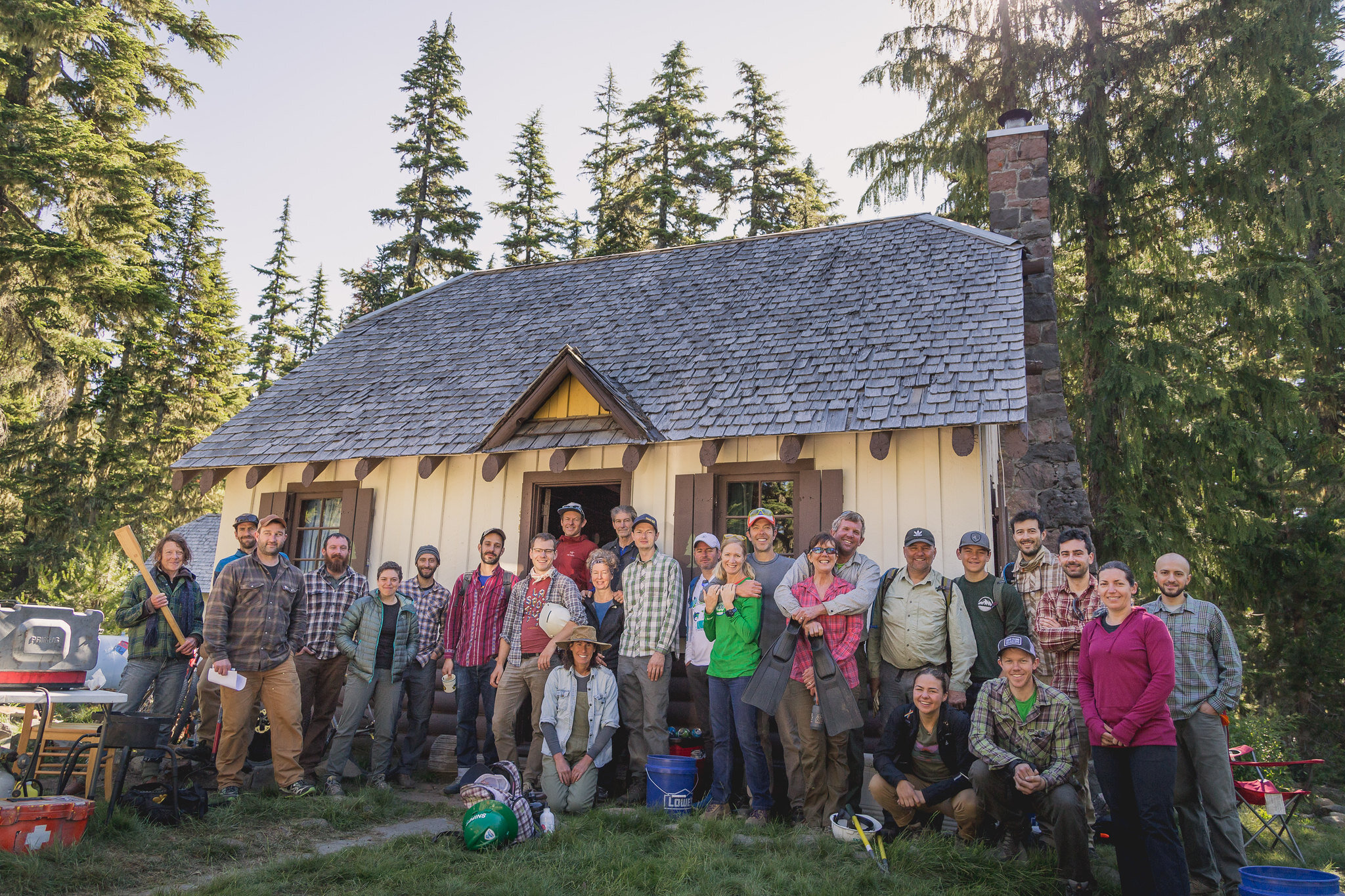
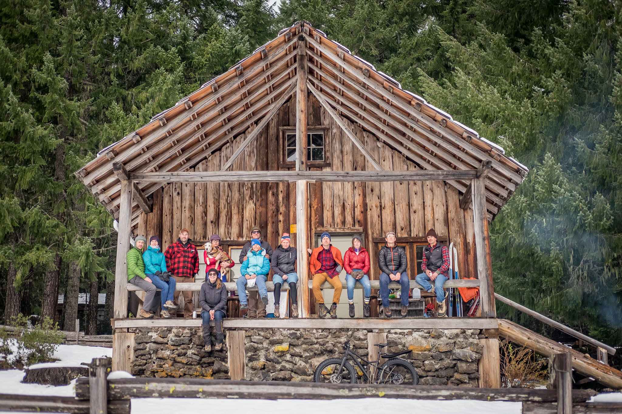
Camping and Lodging
Many official National Forest campgrounds exist on the route. These vary in size and amenities but most campgrounds that are marked as waypoints will have vault toilets, sites, tables, fire rings and tent pads. Fees will vary, carry cash in small bills.
Unless otherwise marked, dispersed primitive camping is allowed anywhere on National Forest land. We ask you to use sites that show signs of previous use instead of creating your own. Don’t add fire rings or tables to dispersed sites, and pitch your tent and walk where vegetation is minimal.
Many Forest Service structures are marked on the map. Most require a reservation and will be occupied so please respect these guests’ privacy and don’t trespass without explicit permission.
There are many private lodging opportunities along the route ranging from rustic cabins to luxurious resorts. We try to note where these are located in this guide, but call ahead for reservations and lodging information.
Leave no Trace
© Gabriel Amadeus
Plan ahead and prepare. Check with land managers, local bike shops, local cycling groups and OregonTimberTrail.org for the most up-to-date trail information.
Stick to the trail. When biking, durable surfaces include established trails and campsites, dirt roads and pavement. The Oregon Timber Trail route travels through many sensitive and important ecosystems, stay on the trail and don’t skid.
Good campsites are found, not made. Altering a site is not necessary. Protect ecologically sensitive areas by camping at least 200 feet from lakes and streams. In popular areas concentrate use on existing trails and campsites. Walk single file in the middle of the trail, even when wet or muddy. Keep campsites small. Focus activity in areas where vegetation is absent. In pristine areas, disperse use to prevent the creation of campsites and trails. Avoid places where impacts are just beginning.
Dispose of waste properly. Use restroom facilities where possible. Bring along a trowel and dig a cat hole six to eight inches deep at least 200 feet away from water sources and trails. Cover and disguise the cat hole when finished. Inspect your campsite and rest areas for trash or spilled foods. Pack out all trash, leftover food and litter. To wash yourself or your dishes, carry water 200 feet away from streams or lakes and use small amounts of biodegradable soap. Scatter strained dishwater.
Leave what you find. Preserve the past: examine, but do not touch cultural or historic structures and artifacts. Leave rocks, plants and other natural objects as you find them. Do not build structures, furniture, or dig trenches.
Watch out for stowaways. Avoid introducing or transporting non-native species. Seeds, vegetative matter, and mud can stick to your bike and clothing and then fall off miles down the trail. This has the potential to introduce harmful plant species to fragile and vulnerable ecosystems. Shake out your clothes in camp each morning and keep your bike clean to prevent the spread of invasive species.
Minimize campfire impacts. Not only are burn bans prevalent throughout Oregon in the summer months, campfires can cause lasting impacts to the backcountry. Check fire regulations before heading into the backcountry and where/when fires are permitted use established fire rings, fire pans, or mound fires. Use a lightweight stove for cooking and enjoy a candle lantern for light. Keep fires small. Only use sticks from the ground that can be broken by hand. Burn all wood and coals to ash, put out campfires completely, then scatter cool ashes. Burying fires does not extinguish them, it allows them to smolder and likely re-ignite. Never use fires to burn your trash.
Respect wildlife. Observe wildlife from a distance. Do not follow or approach them. Never feed animals. Feeding wildlife damages their health, alters natural behaviors and exposes them to predators and other dangers. Protect wildlife and your food by storing rations and trash securely. Control pets at all times, or leave them at home. Avoid wildlife during sensitive times: mating, nesting, nursing, or hibernation.
Be considerate of other visitors. Travel on designated bike trails. Respect land management by avoiding travel over trails where biking is prohibited. Respect other trail users and protect the quality of their experience. Be courteous. Yield to other users on the trail. Step to the downhill side of the trail when encountering horses. Take breaks and camp away from trails and other visitors. Let nature’s sounds prevail. Avoid loud voices and noises.
Other trail users
© Gabriel Amadeus
The entirety of the Oregon Timber Trail route is multi-use. The route pieces together singletrack trails, motorized trails, historic pack routes, wagon roads, dirt roads, gravel roads, and even a few miles of quiet asphalt ribbons. The route was created with mountain biking in mind but expect to see equestrians, hunters, hikers, backpackers, Off-Highway-Vehicle (OHV) riders, motor vehicles and other trail users at any point. When on roads, follow all traffic laws and be aware that vehicle and OHV traffic may be present. Many areas are near active logging zones where fast-moving logging trucks won’t be accustom to people on bikes.
The route is aligned on low-use backcountry trails and many different types of users can coexist with common sense and common courtesy. As a cyclist it is your responsibility to yield to all other users on the trail: being polite and giving horses and hikers a clear path to pass is paramount to continued access for multi-use trails. Maintain line-of-sight and control of your bicycle. Slow and stop when nearing other users. Alert them to your presence with a simple hello. If you’re traveling with a group it’s courteous to say how many more riders are behind you as you meet another trail user.
Don’t pass horses until you’ve stopped and the equestrian has acknowledged your presence and given you an indication it’s safe to do so. If you’re stopping to let horses by, it’s much safer to step off the downhill side of the trail and let the rider pass. Remember, a smile and “good morning/afternoon” is the best tool in your toolkit as a bikepacker.
The Oregon Timber Trail and the Pacific Crest Trail (PCT) cross each other four times. Bikes are not allowed anywhere on the PCT, please respect these use-restrictions and make sure you continue on the Oregon Timber Trail route at these intersections. Or pitch camp nearby, and go on a day hike using the PCT to access nearby peaks and Wilderness areas.
Wildlife
We hope you’re lucky enough to experience a wide variety of Oregon’s wildlife along the route. That said, some wildlife experiences are less pleasant than others. Black Bears are generally not a nuisance in Oregon. If you see one they’ll be running the other way, unless you’ve wandered between momma and her cubs. Don’t do that. There are no brown or grizzly bears in Oregon. Mountain lions are perhaps a little more curious but also prefer to leave you alone. If you encounter either: do not run, make yourself appear large, and yell. These are the only large predators you may encounter and the risk they present is extremely low. Raccoons, squirrels, and other scavengers are much more likely to find your food stashes and chew their way through your bags. By far, the most feared animal on the OTT is the mosquito or ‘mozzy’. They are voracious in the high country as soon as the snow melts and dwindle throughout the season.
A note about trails
The Oregon Timber Trail is almost 700-miles long but only utilizes a fraction of the thousands of miles of trails we have here in Oregon. These trails require constant maintenance by dedicated volunteer trail groups in every area. If you want to give back to Oregon trails, each of the following organizations would love a donation or your boots on the ground at their next work party. A huge thanks to Klamath Trails Alliance, Backcountry Horsemen, Central Oregon Trail Alliance, Pacific Crest Trail Association, Greater Oakridge Area Trail Stewards, High Cascades Forest Volunteers, Disciples of Dirt, Salem Area Trail Alliance, Oregon Equestrian Trails, Bend Trails, Sisters Trails Alliance, Trans-Cascadia, Northwest Trail Alliance, 44 Trails Association, and Hood River Area Trail Stewards for their continued dedication to Oregon’s fabulous trails.
In addition to the thousands of volunteer hours invested, none of these trail systems would be possible without the land management support from the Lakeview, Paisley, Silver Lake, and Chemult Fremont-Winema National Forest Ranger Districts; the Middle Fork, Sweet Home, McKenzie River, and Detroit Ranger Districts of the Willamette National Forest; the Chemult, Bend, and Sisters Ranger Districts of the Deschutes National Forest; and the Clackamas, Zigzag, Barlow, and Hood River Ranger Districts of the Mount Hood National Forest.
The Route
Gateway Communities

© Dan Sharp
One of the best things about riding in the backcountry is finding those remote corners of civilization, rewarding yourself, and recouping for the next leg of your adventure. Here are the key resupply points where you can pull up a bar stool and load up your seatbag. Be on the lookout for the Trail Logs at participating businesses in each community—you can read accounts of other rider’s journeys and add your own stories.
While these aren’t the only places you’ll find a resupply along the route, they are some of the largest or most necessary. For detailed resupply information dig into the segment descriptions.
“I am a sucker for back road western towns and the diners, stores and people who live in those places which are so often driven through at max speed. I appreciate having the time and the necessity of stopping in these places.”
Lakeview - Mile 0
The highest town in Oregon at 4,800’ boasts an active geyser, a giant cowboy, and a hot springs resort if you want to start your journey off right. Trail Log at: Tall Town Bike and Camp
Paisley - Mile 92
Home of the Mosquito Festival and a bar that’s traveled all the way around Cape Horn. The Chewaucan River is great for a dip or a few casts. Trail Log at: Paisley Mercantile
Silver Lake - Mile 148
Home of the famous Cowboy Dinner Tree and one of the most welcome pit stops on the Oregon Outback route. Trail Log at: Silver Lake Mercantile
Chemult - Mile 207
A bustling truck stop town on Hwy 97 and home to a booming seasonal mushroom industry. Your last stop until Oakridge. Trail Log at: Loree’s Chalet
Oakridge - Mile 300
The midpoint of the OTT is also a world-renown MTB destination. Spend a day or two riding the vast trail network and enjoying some creature comforts. Trail Log at: Willamette Mercantile
Sisters - Mile 432
This bustling western town is as active a hub today as it was 100 years ago along the Santiam Wagon Road. Load up—there’s nothing but trees until Idanha. Trail Log at: Blazin Saddles
Idanha - Mile 515
Blink and you’ll miss it if you’re driving along Hwy 22, but it’s a welcome sight for bikepackers in the middle of the rugged cascades. Yes, there’s ice cream. Trail Log at: Idanha Country Store
Parkdale - Mile 639
Nestled in the scenic and fertile Hood River Valley, Parkdale produces some of the finest fruit in Oregon—and the beer, wine, and mead that goes along with it. Trail Log at: Parkdale Inn
Hood River - Mile 669
A famous adventure destination in its own right, Hood River is the northern terminus of the OTT and can satiate all your cravings from the last 669 miles. Trail Log at: 10-Speed Coffee
The Four Tiers
The Oregon Timber Trail is naturally divided into four tiers based on the type of forests and landscapes it travels through, and subsequently the four National Forests it passes through. To make the 670 miles and four tiers even more digestible the route is broken into 10 segments. These are defined by major re-supply or geographic points. Follow these links to each Tier's guide.

© VanWeelden Creative

Fremont Tier
The Oregon Timber Trail aptly starts in the middle of nowhere on the California border. You’ll leave Oregon’s highest town and traverse the 140 mile Fremont National Recreation Trail. You’ll be rewarded with the stunning views from Winter Rim, a feast at the legendary Cowboy Dinner Tree, and have the opportunity to stay at a number of primitive fire lookouts.

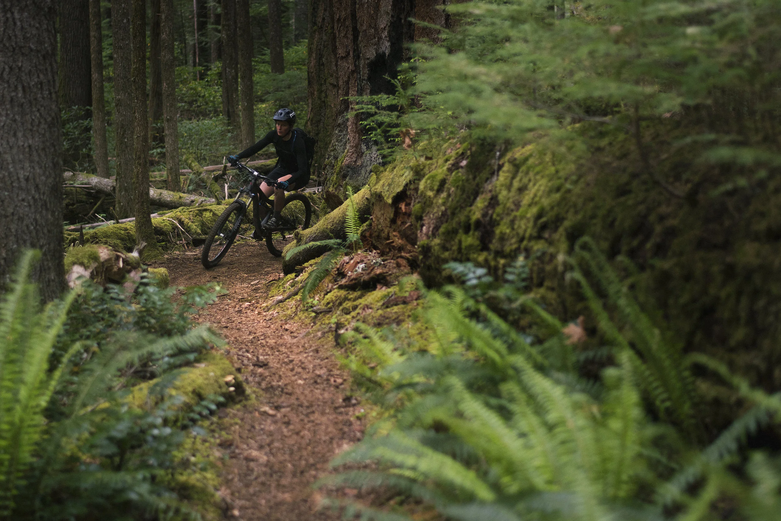
Willamette Tier
The Willamette Tier is markedly different from the Fremont Tier. The dry deserts, sparse ponderosa forests and wide open rangeland give way to dark, verdant and loamy forests as soon as you crest the Cascade Range. You’ll follow feeder streams and springs of the Willamette River’s Middle Fork for much of this tier, putting your water scarcity worries at ease—at least for now.

Deschutes Tier
The Deschutes Tier takes you back over to the dry, volcanic eastern flank of the Cascade Range. Bend is famous for its large network of world-class mountain bike trails and the Oregon Timber Trail takes advantage of them as it leaves Waldo Lake and winds its way through the Cascade Lakes region and around Mt. Bachelor.

Hood Tier
As you head into the Hood Tier you may think you’re on the final stretch—that is if you haven’t looked at the elevation profile. The Hood Tier takes you up and down across countless backcountry ridges and streams, first teasing you with imposing views of Mount Jefferson and eventually Mount Hood itself. The Old Cascade Crest is steep and rewarding, eventually dropping you near Detroit Lake and up to Olallie Lakes through the Breitenbush Hot Springs valley.
“So... drifty!”