0% Paved
33% Dirt road
67% Singletrack
95% Percent rideable
Longest stretch between resupply: 37 miles, 1-2 days
Longest stretch between water sources: 15 miles
Physical difficulty: 5/10
Technical difficulty: 6/10
Bikepacking challenge: Intermediate
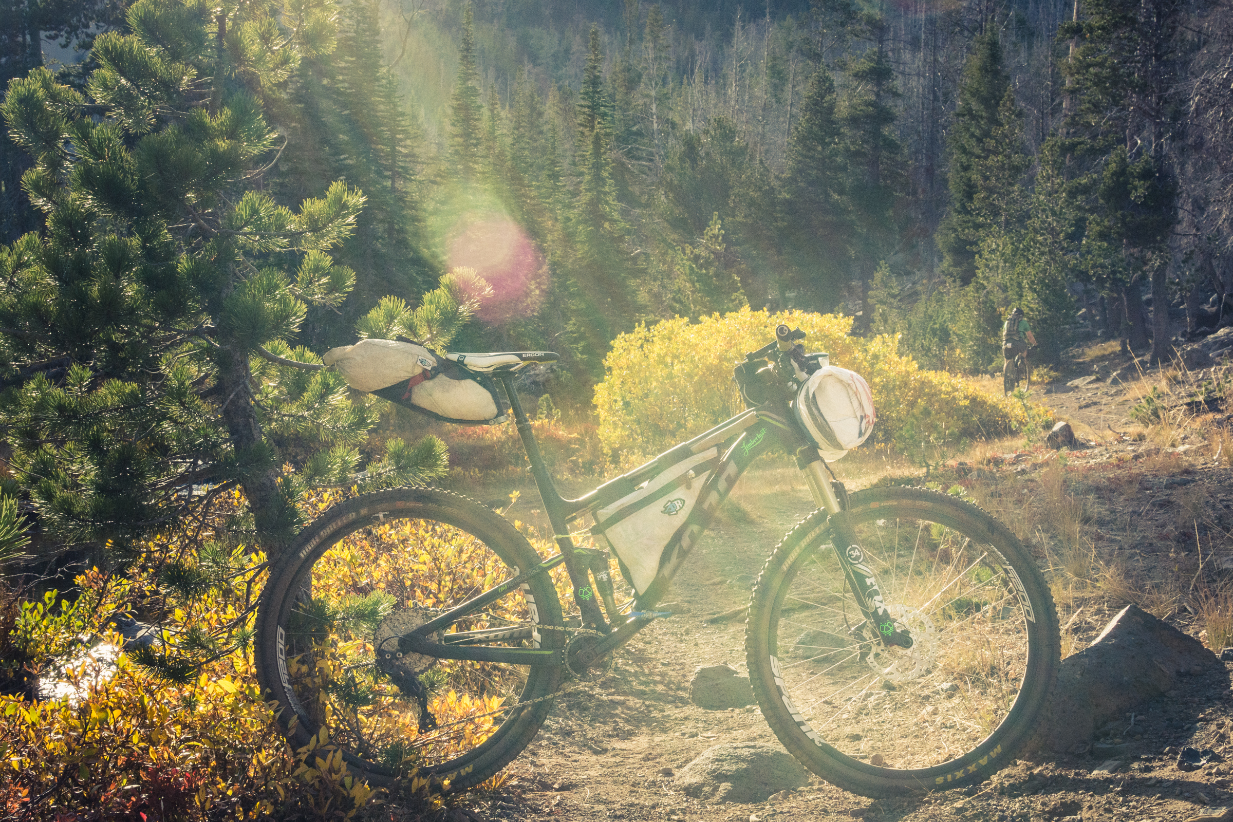
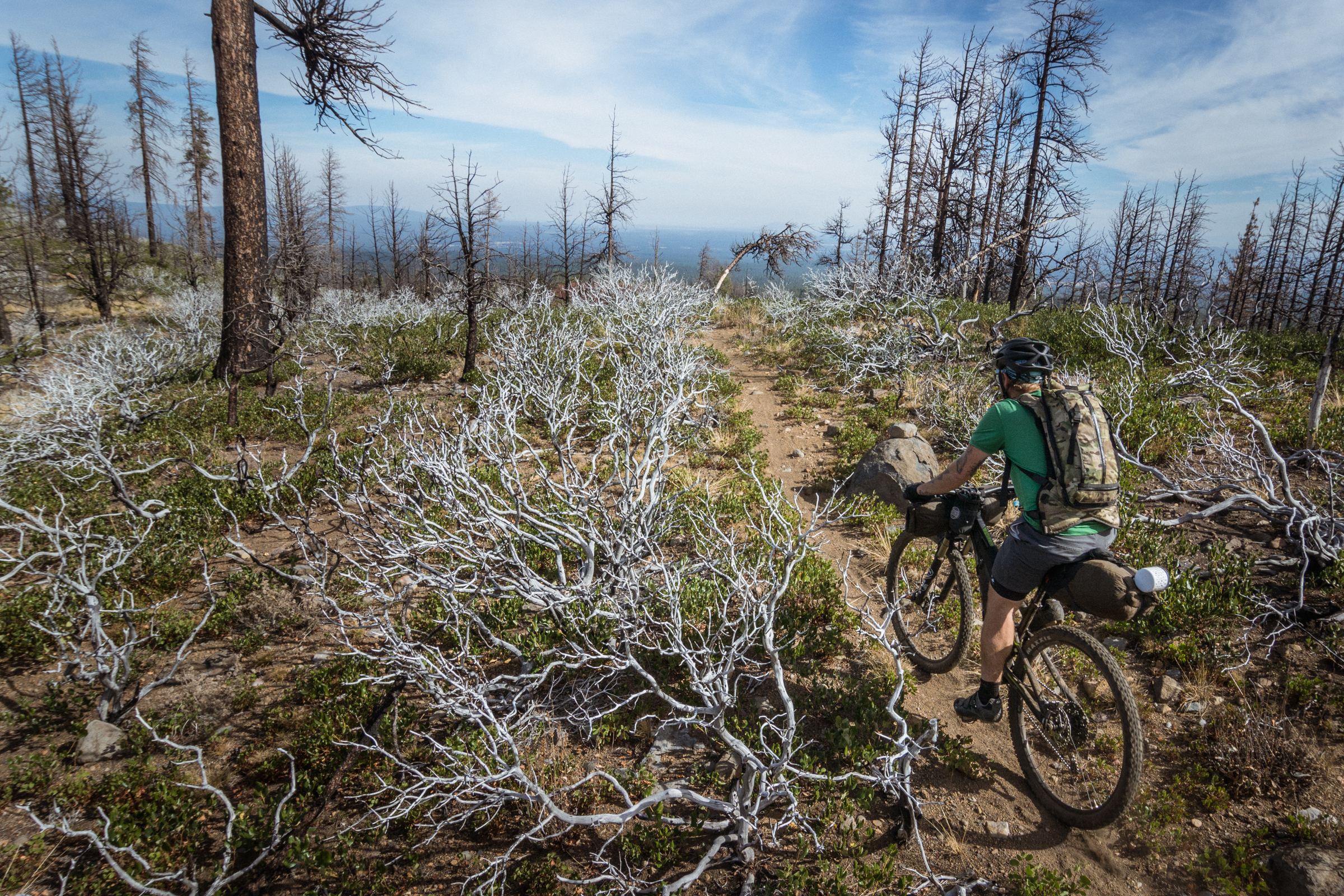
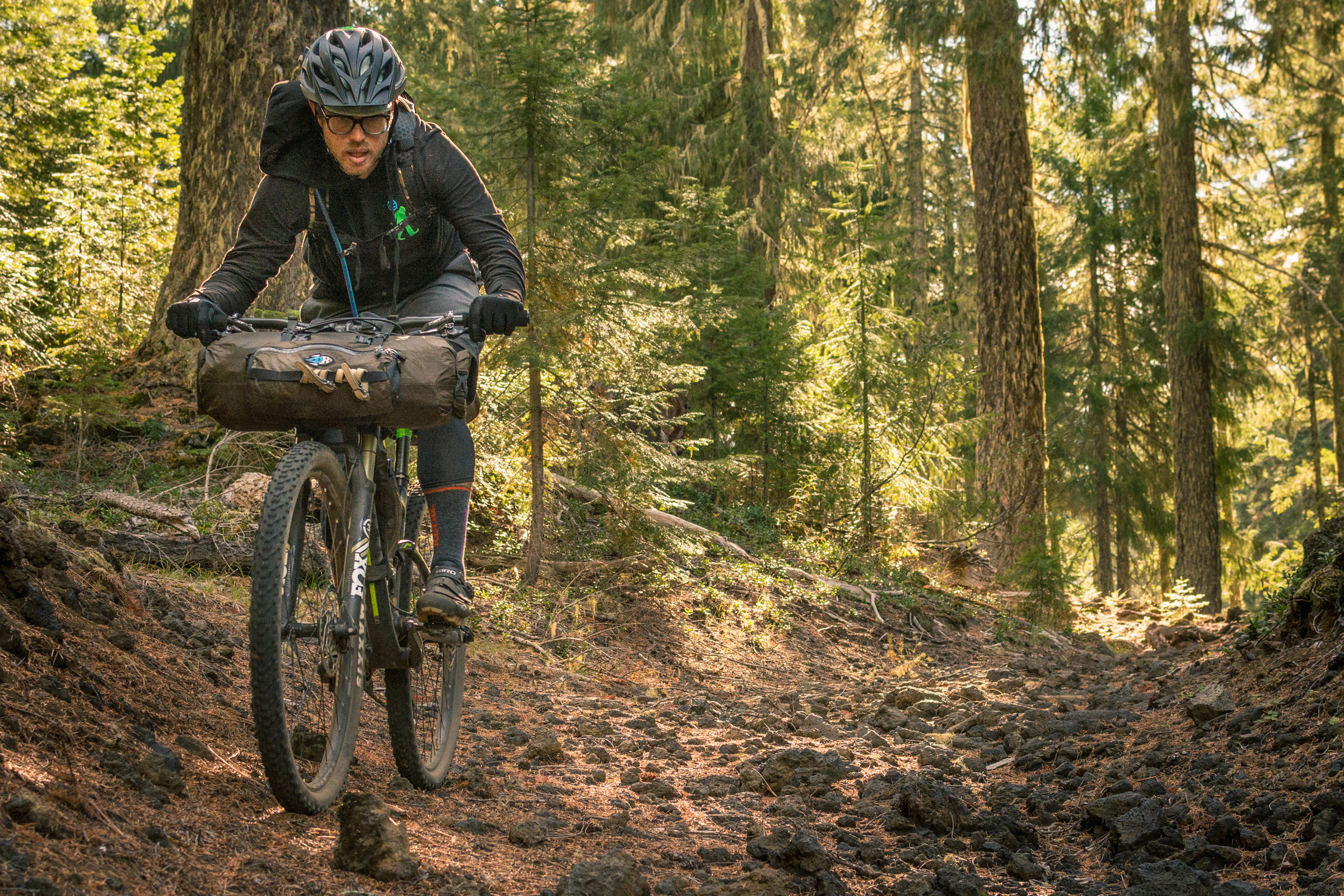
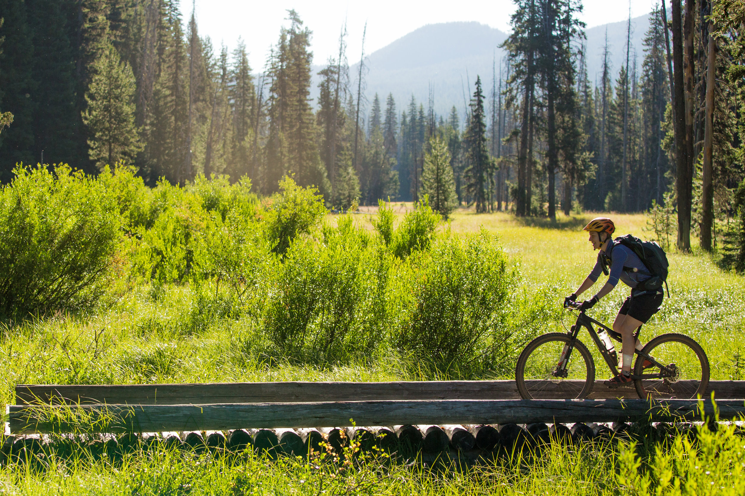
The Deschutes Tier takes you back over to the dry, volcanic eastern flank of the Cascade Range. Bend is famous for its large network of world-class mountain bike trails and the Oregon Timber Trail takes advantage of them as it leaves Waldo Lake and winds its way through the Cascade Lakes region and around Mt. Bachelor.
“The most rewarding thing for me was riding singletrack connecting alpine lakes.”
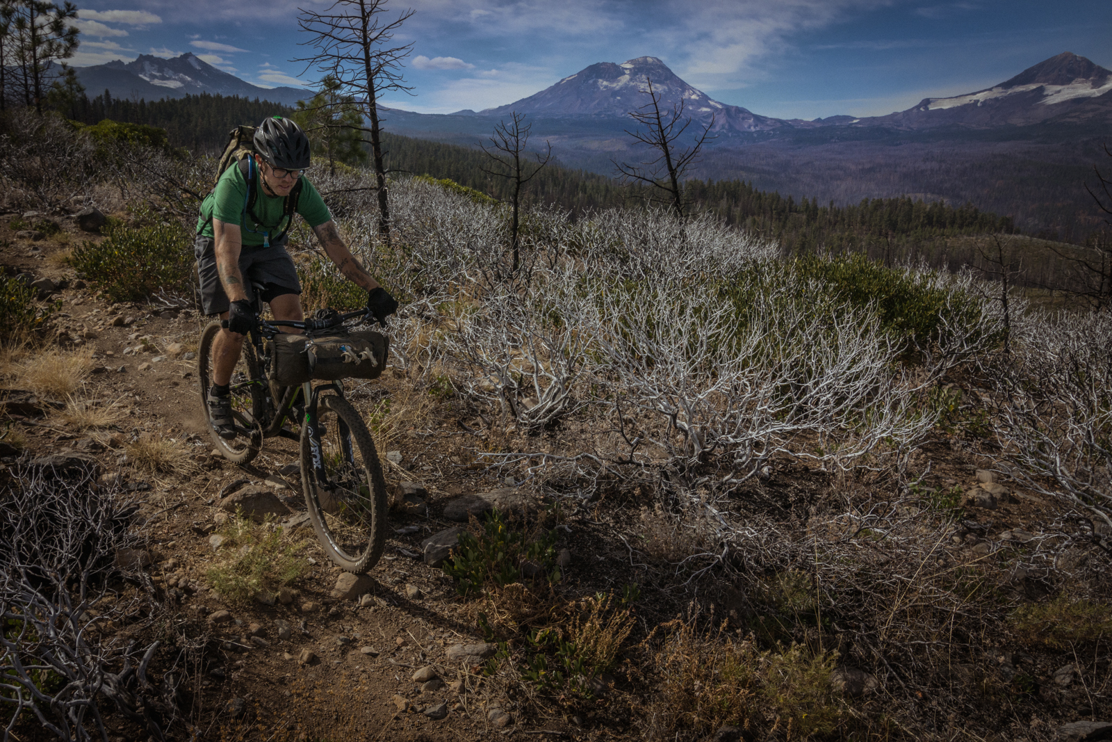
Crossing under the shadow of Broken Top and the Three Sisters you’ll visit Tam Mcarthur Rim and Three Creeks Lake before descending into Sisters for a stop at the brewery, stocking up at the co-op, and getting your bike tuned up.
The second leg of the Deschutes Tier takes you over the Cascade Range yet again on the historic Santiam Wagon Road. You’ll leave Sisters skirting Black Butte and Camp Sherman (worth a side trip) before popping out at Suttle Lake. A newly remodeled lodge offers rooms, cabins, hot food, cold cocktails and even canoe rentals. Once you’ve had your fill, you’ll climb to Big Lake with views of Mount Washington and descend the sandy wagon ruts to Fish Lake and the headwaters of the McKenzie River.
Highlights
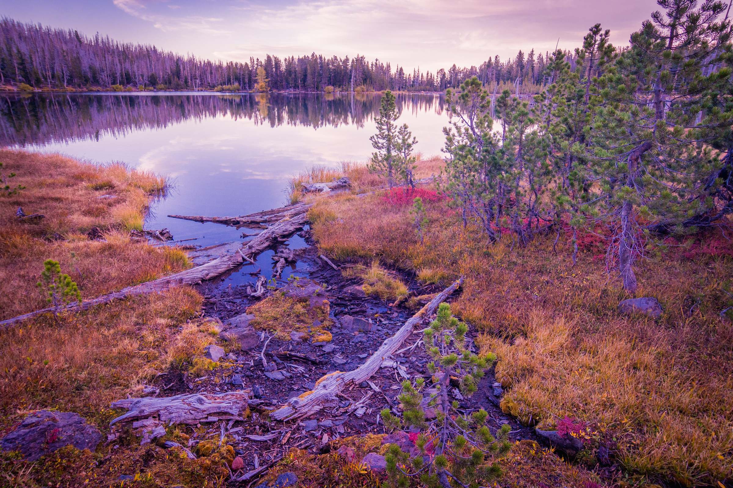
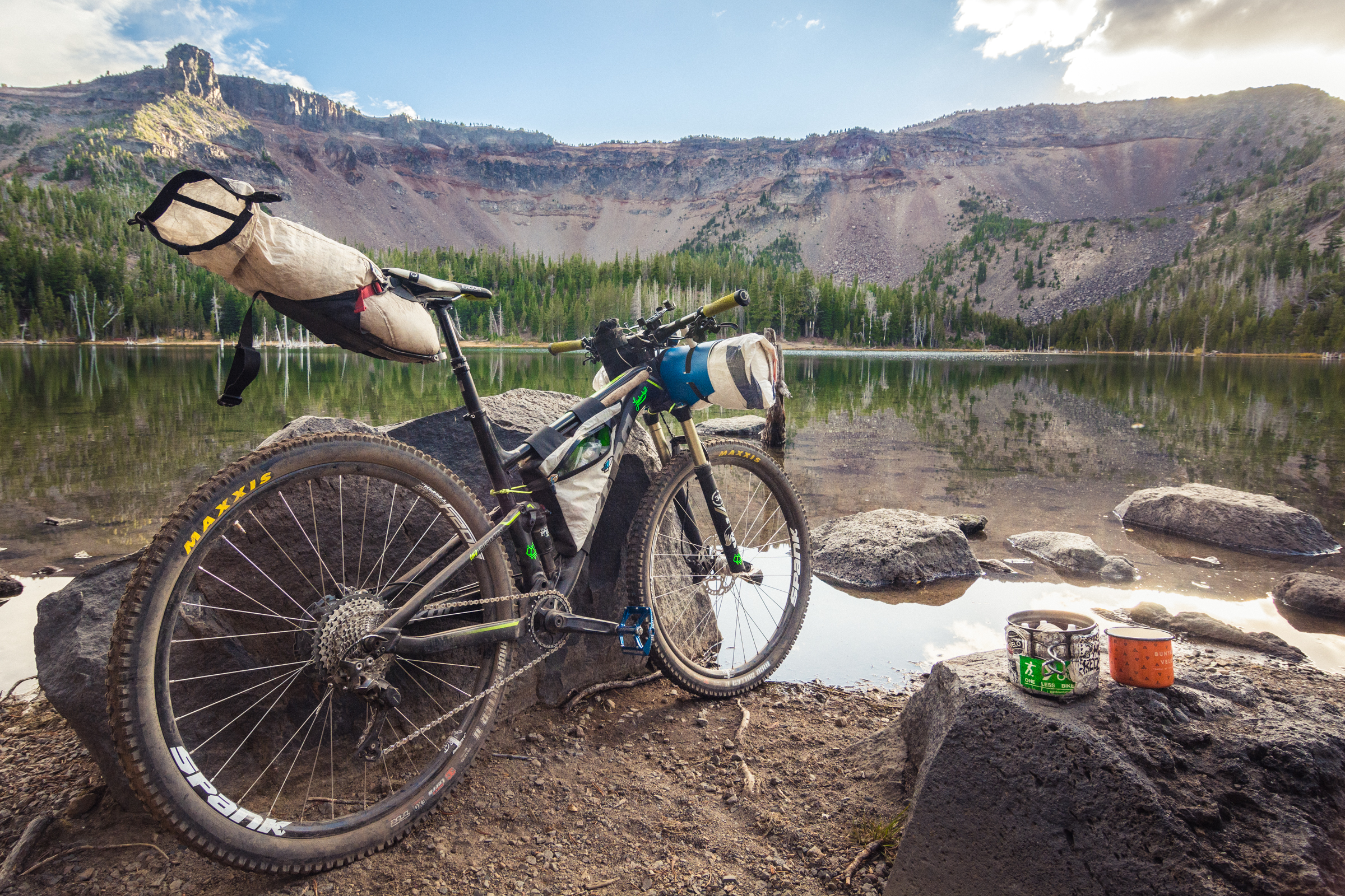
Secluded alpine lakes and dry alpine forests
Intense volcanic geology
Many Cascade peaks dotting the horizon
Small lake resort stores
Little Three Creeks Lake
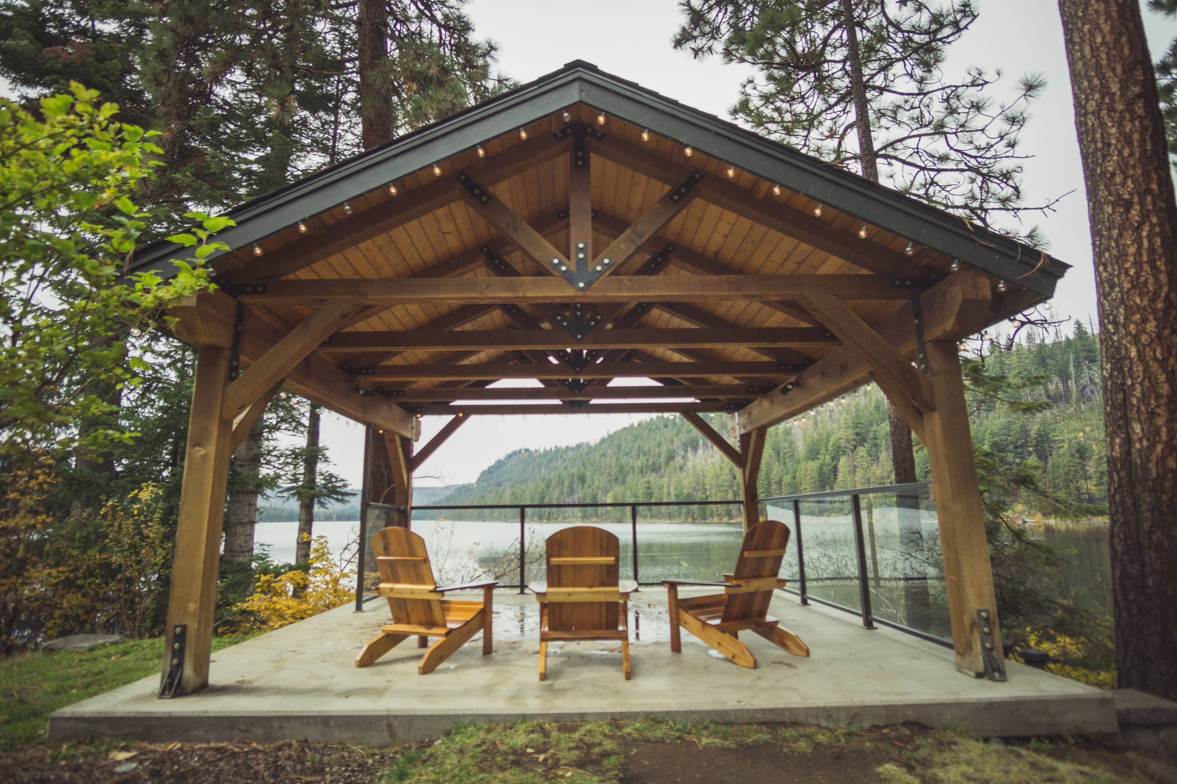
Suttle Lodge
Santiam Wagon Road
Tam McArthur Rim © Gabriel Amadeus
Logistics
The Deschutes Tier has no substantial resupplies aside from Sisters. It does, however, have many small resort stores and restaurants. Make a plan and carry plenty of food.
The area around Big Lake is used by a lot of OHV traffic, stay alert and share these dirt roads.
The Metolius-Windigo Trail is a multi-use trail between Lava Lake and Sisters of which the OTT shares some sections. It is a perceived high-conflict zone between equestrians and people on bikes. Be alert and friendly when passing through this area. See the beginning of this guide for suggestions on how to courteously interact with equestrians and other trail users. Please be comfortable yielding right-of-way on trails shared with equestrians along this section.
Trail & Forest info
Deschutes National Forest, Bend, OR - (541) 383-5300
Recommended maps
USGS Topographical Quadrants available at USGS.gov
Bend Area Adventure Map
Bend Three Sisters National Geographic Trail Map
Deschutes National Forest Map
Bike shops
Mt. Bachelor Repair Shop, Mt. Bachelor - (800) 829-2442
Blazin Saddles, Sisters, OR - (541) 719-1213
Eurosports, Sisters, OR - (541) 549-2471
Nearest medical facilities
St. Charles Medical Center
2500 NE Neff Road | Bend, OR 97701 | (541) 382-4321
Law Enforcement
Deschutes County Sheriff: (541) 388-6655
CASCADE PEAKS
Segment 6 of 10
Waldo Lake to Sisters
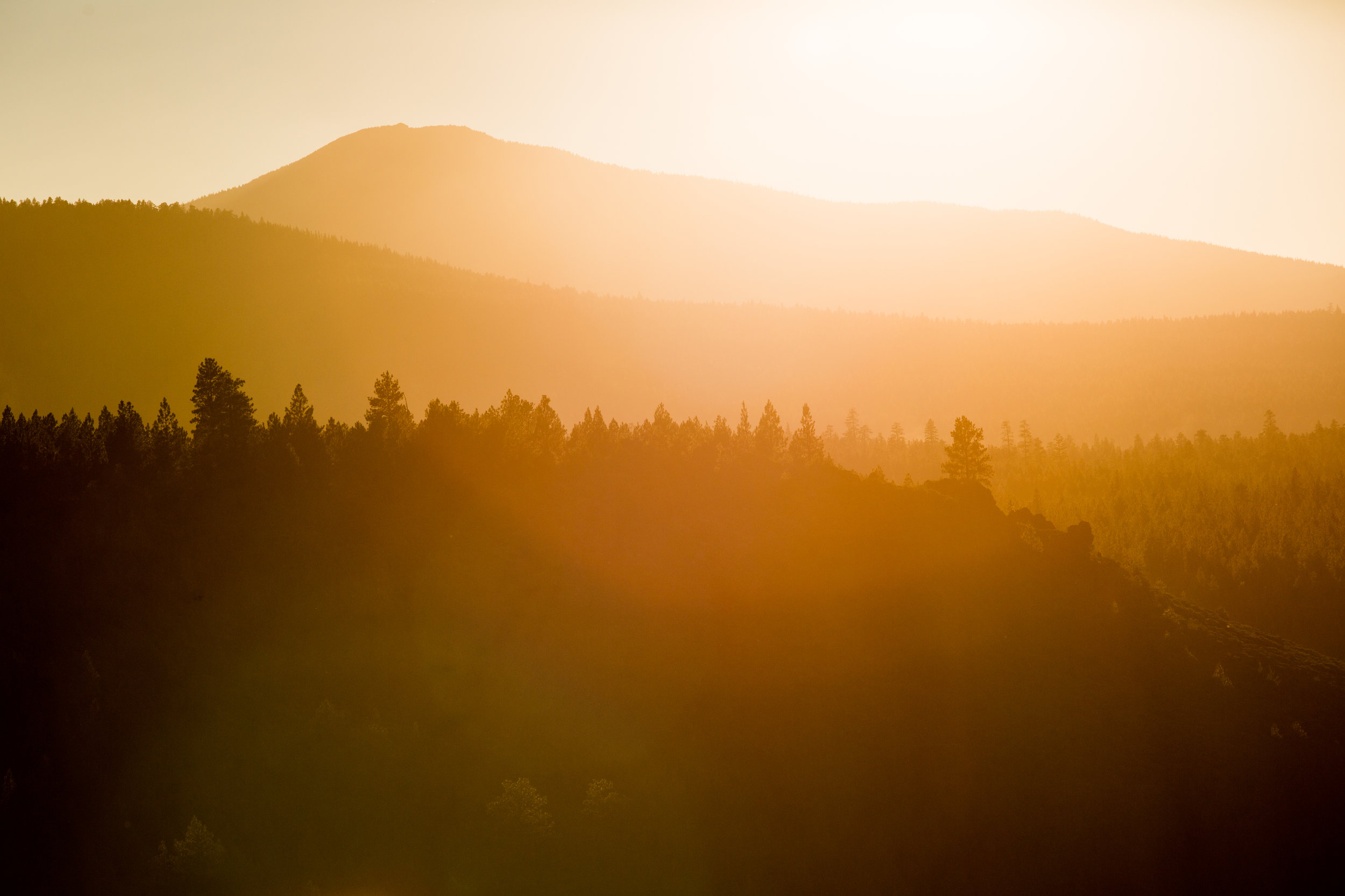
Sun kissed forests © Leslie Kehmeier
Segment length: 93 miles
Total climbing: +6,970 feet
Number of days: 2-4
2% Paved
48% Dirt road
50% Singletrack
100% Rideable
Physical difficulty: 5/10
Technical difficulty: 5/10
Bikepacking challenge: Intermediate
Longest stretch between resupply: 37 miles, 1-2 days
Longest stretch between water sources: ~15 miles
Resupplies
Mile 375: Cultus Lake Resort: Busy resort store and restaurant
Mile 384: Lava Lake Lodge: Quiet small resort store
Mile 397: Mount Bachelor Resort: Bike shop, grab and go food items, restaurant (limited hours, chairlift access)
Mile 411: Three Creeks Lake Store: Tiny & friendly lakeside store with basic snacks and beer (limited hours)
Mile 432: Sisters: Full Services
Commercial Lodging
Mile 375: Cultus Lake Resort: Busy resort with cabins
Many options off route in Bend and Sunriver
Mile 432: Sisters: Many options
The Cascade Lakes segment is defined by high elevation lakes that collectively form the headwaters of the Deschutes River system. These quiet lakes are nestled in volcanic rock and tree-lined shores and the segment connects the dots between them as it skirts Mount Bachelor and the Three Sisters.
Alpine meadows © Leslie Kehmeier
You’re back on the dry side of the cascade range now, and the forest makes that apparent. Ponderosas, Mountain Hemlock, Lodgepole Pine, and Juniper hug wet, grassy marshes and jagged dusty outcroppings. In contrast with the Willamette Tier, the Deschutes forest is sparser, dryer and typically made up of much smaller desert evergreens.
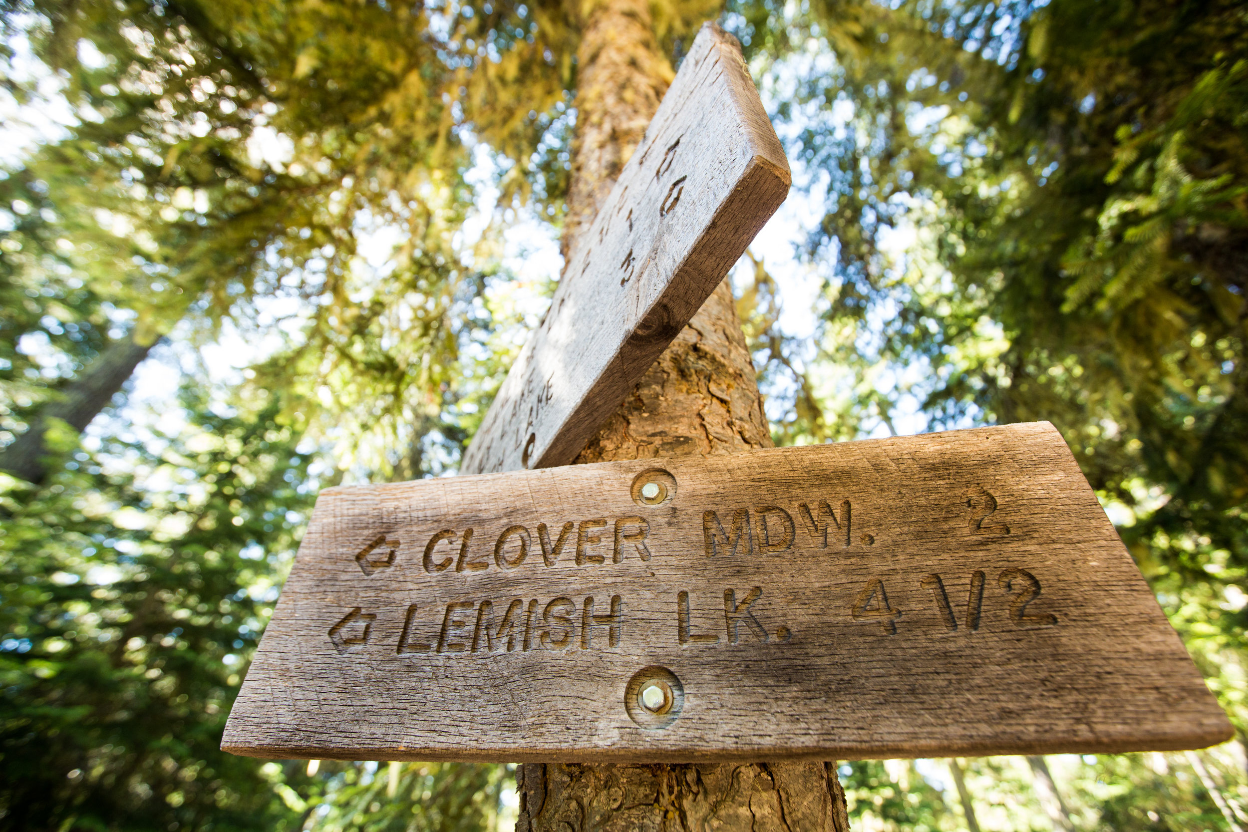
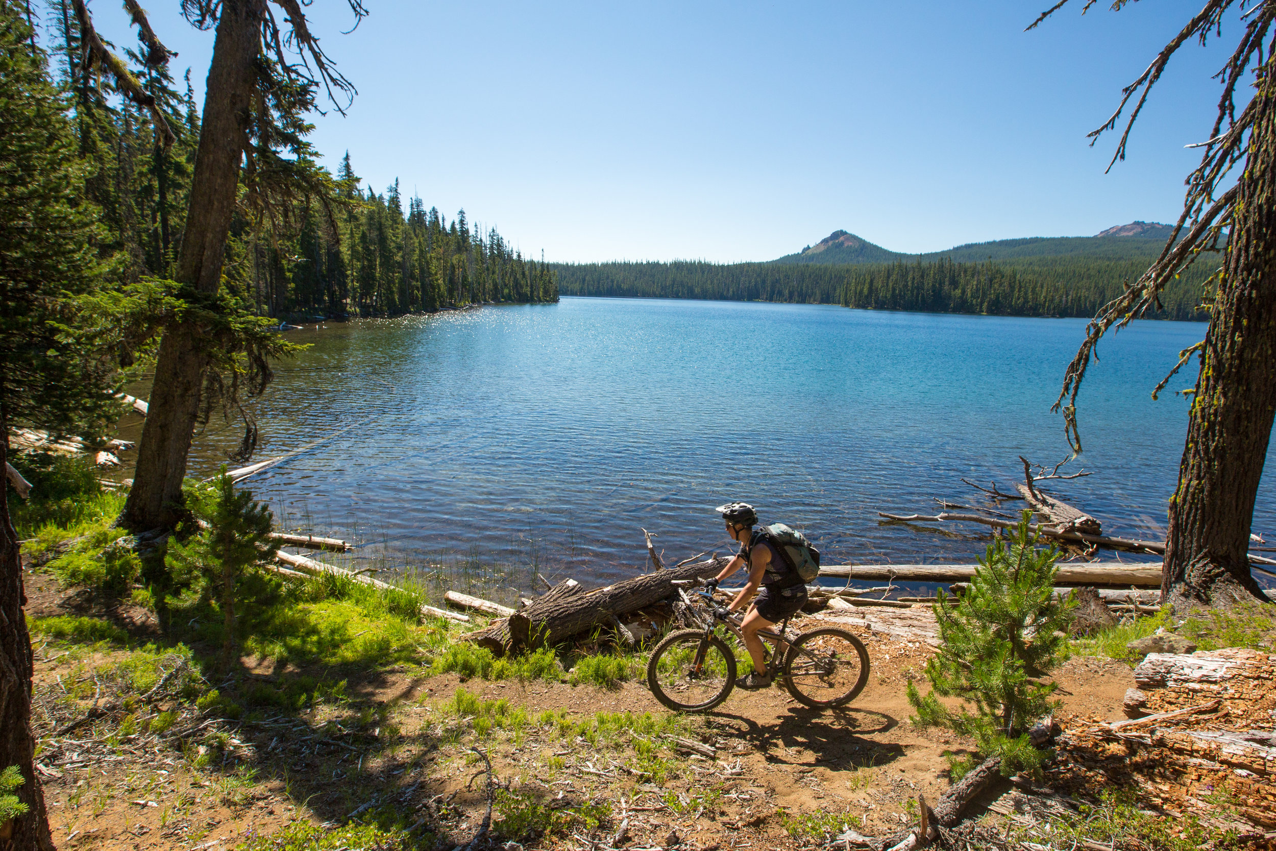
Leaving the shores of Oregon’s second deepest lake—Waldo—you’ll first pop over to Charlton Lake, then Lemish Lake, Little and big Cultus Lakes, the Blue Lagoon, both Lava Lakes… you get the idea. It’s likely going to be quite hot and sunny, so make sure to stop at each one for an ice-cold dip. There is relatively little elevation gain throughout this section save for a little hop over the shoulder of Mount Bachelor. A bike shop, lift service trails and food are available at Mt. Bachelor Lodge.
At Wanoga Trailhead detour to Bend’s vast trail network and alluring brewery selection, or stay on route and push on towards Sisters on the rough and tumble NF 370 road. This road travels just below treeline through fragile sub-alpine meadows and groves. Many dispersed campsites are available along its length, but be cautious while riding the 370 road as it can be quite busy during peak summer season.
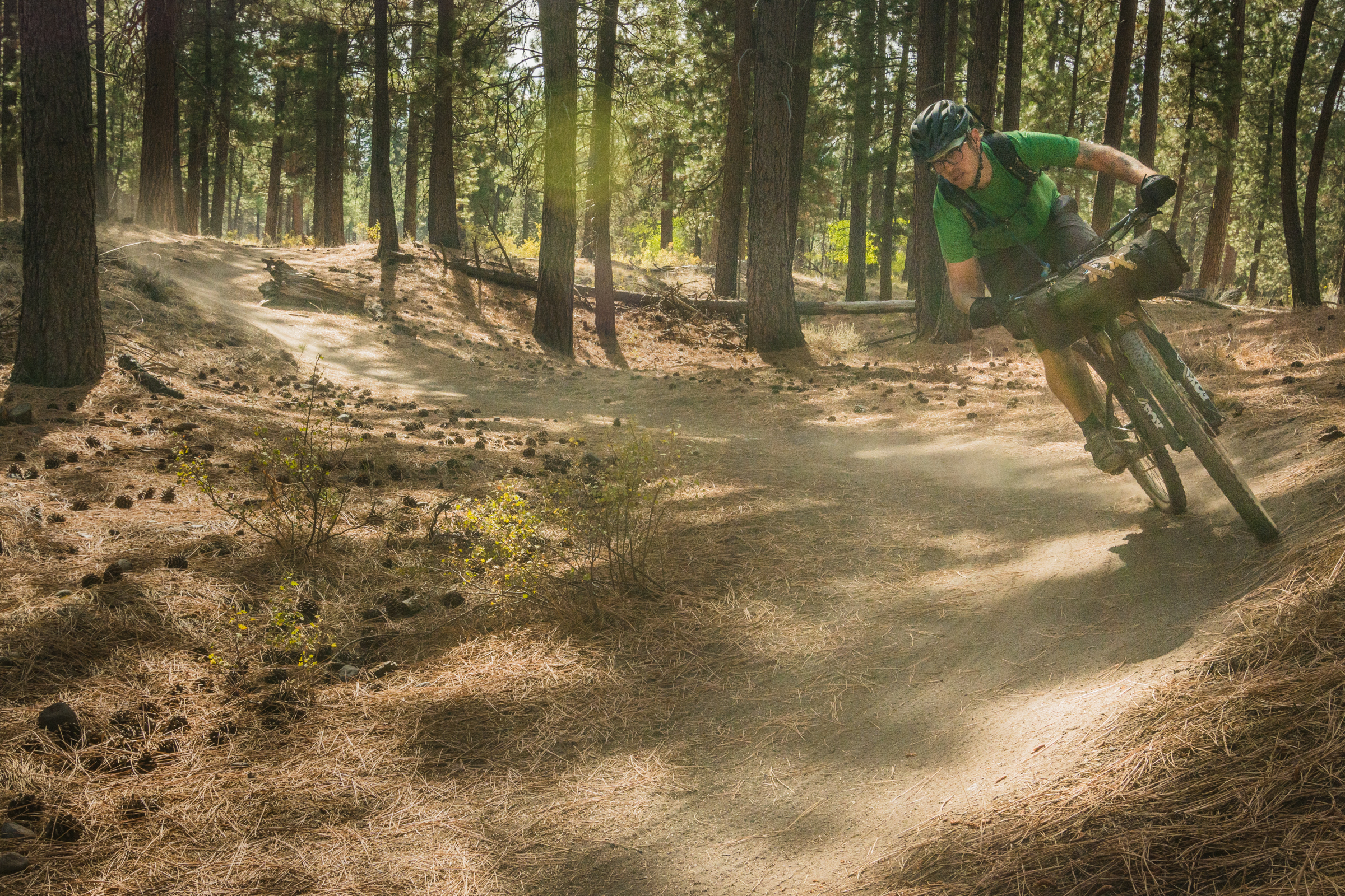
After a few more miles you’ll pop out at Three Creek Meadow. Either take a left to the busy Three Creek Lake Campground or hoof it into Little Three Creek Lake for a much more secluded campsite. This zone is a great place to relax for a day and explore the Three Sisters Wilderness and Tam McArthur Rim by foot. From camp it’s a fast descent on forest roads to the Peterson Ridge Trail system. Peterson Ridge is a dense network of fast rolling singletrack with great sight lines. It can be confusing at first but almost all trails will lead you to town and every intersection is well-signed. Head straight to the brewery or explore the small but well-stocked town of Sisters. Cheap showers are available in the city park—you’ll probably need them by this point.
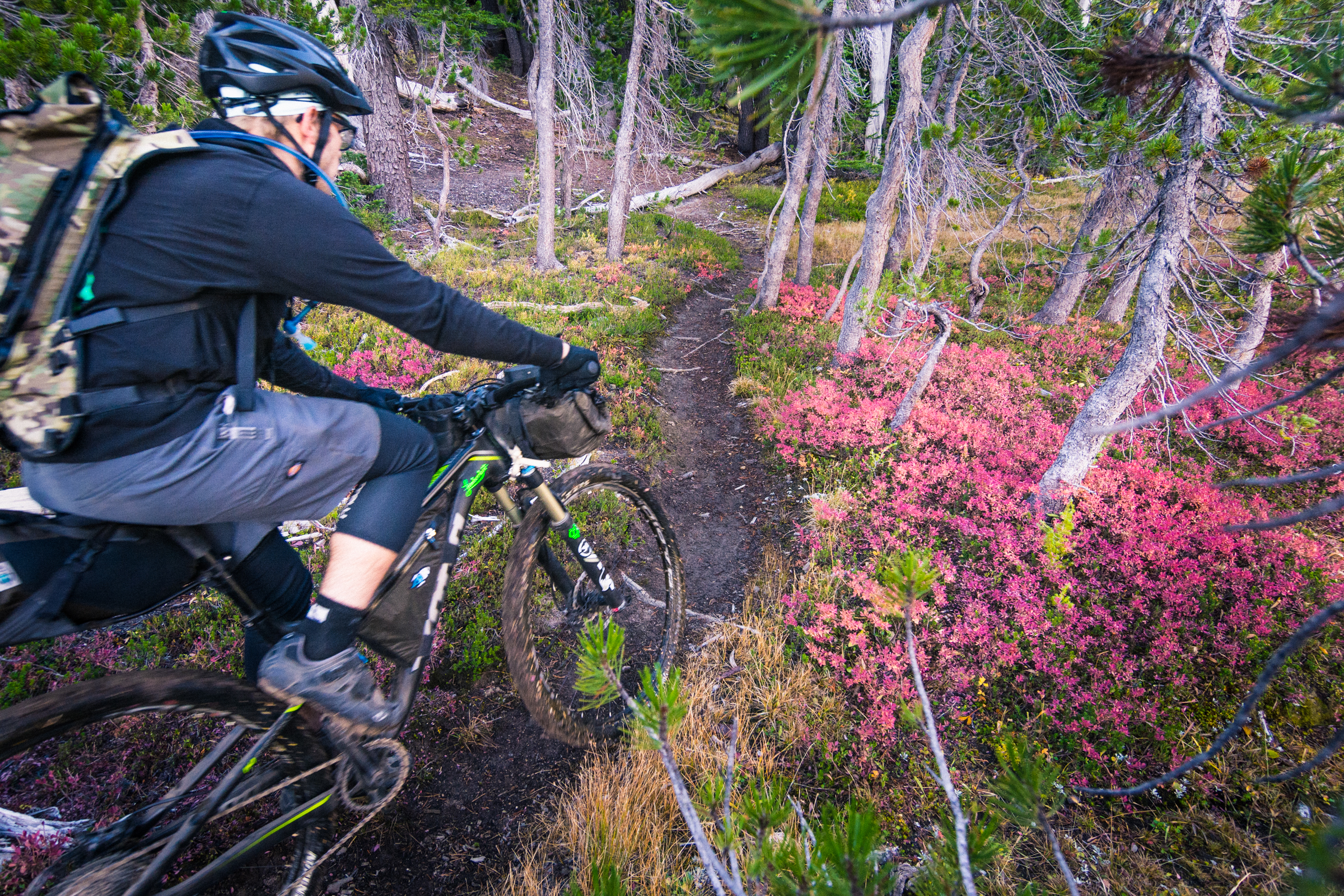
Little Three Creek Lake Trail © Gabriel Amadeus
SANTIAM WAGON ROAD
Segment 7 of 10
Sisters to Fish Lake
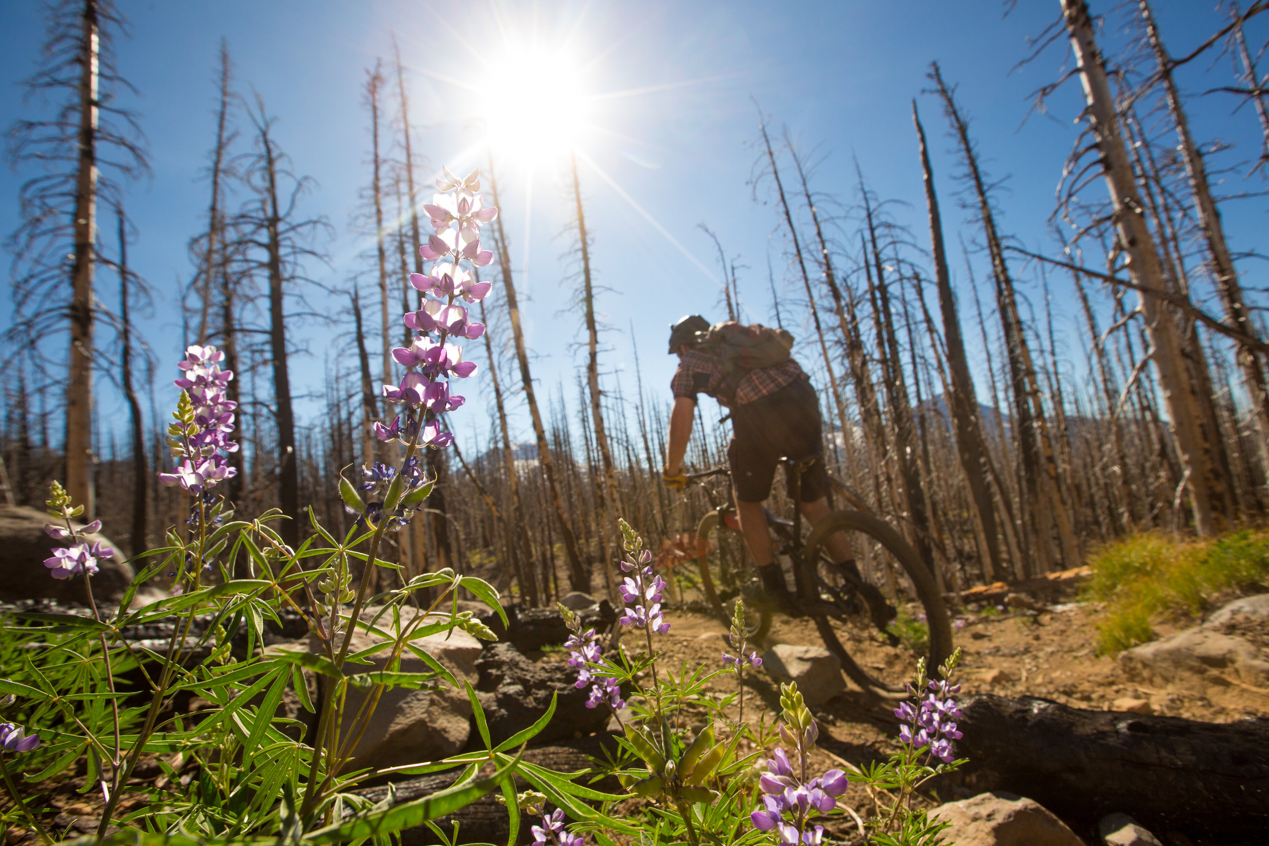
Santiam Wagon Road © Gabriel Amadeus
Segment length: 37 miles
Total climbing: +2,386 feet
Number of days: 1-2
0% Paved
32% Dirt road
68% Singletrack
90% Rideable (sandy)
Physical difficulty: 5/10
Technical difficulty: 5/10
Bikepacking challenge: Beginner
Longest stretch between resupply: 15 miles, <1 day
Longest stretch between water sources: 10 miles, <1 day
Resupplies
Mile 432: Sisters: Full Services
Mile 449: Suttle Lodge bar & restaurant
Mile 469: Clear Lake Resort: Very minimal snacks at store
Commercial Lodging
Mile 432: Sisters: Many options
Mile 449: Suttle Lodge
Mile 469: Clear Lake Resort Cabins
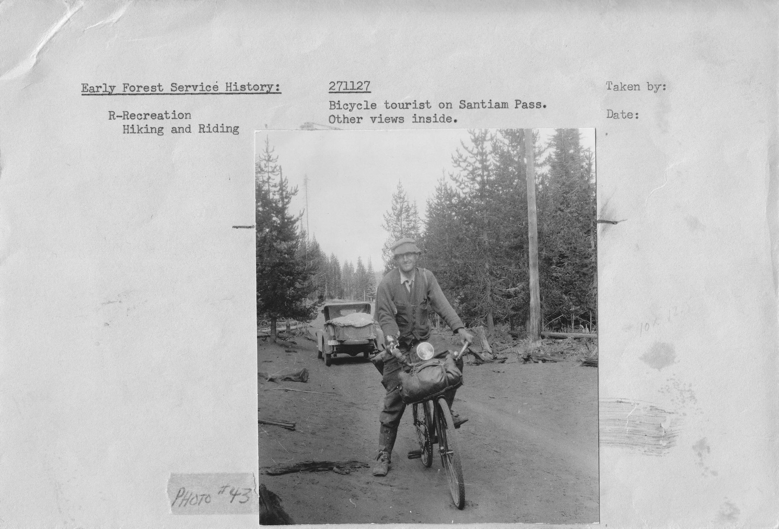
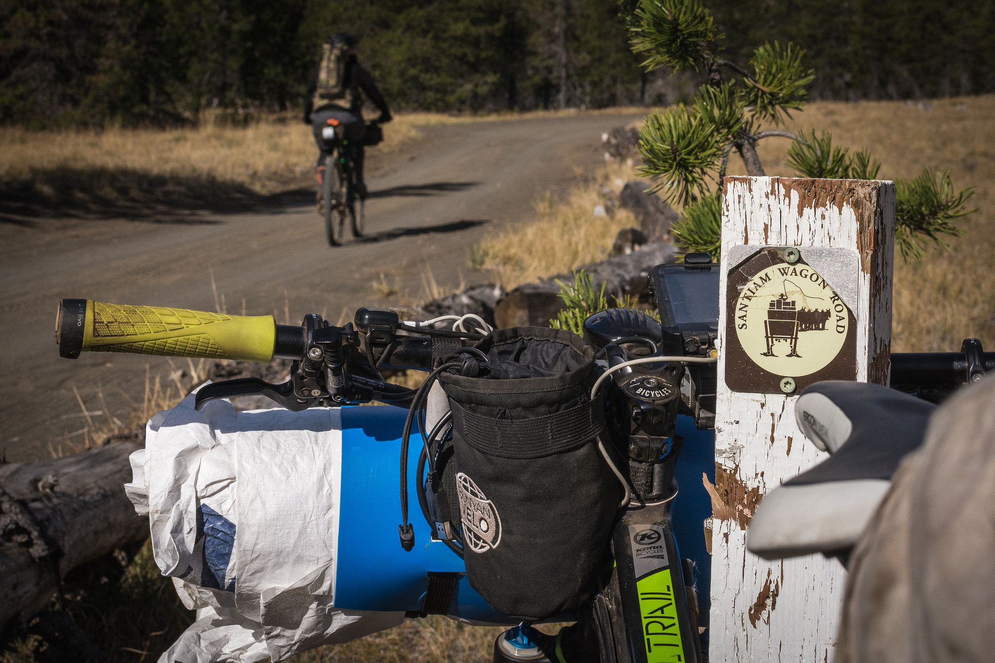
A relatively short segment, the Santiam Wagon Road takes you west across over Santiam Pass to the headwaters of the McKenzie River and historic Fish Lake Work Center. The Santiam Wagon Road was built as a response to the influx of settlers coming to the Willamette Valley on the Oregon Trail. Soon all the workable land was snatched up and emigrants headed back east over Santiam Pass to settle Oregon’s central valley ranch land. While less rugged and steep than many routes, the wagon road was—and still is—an arduous journey. Belknap Crater and numerous spatter cones belched out loose volcanic sand across the range a few thousand years ago creating a frustratingly unstable road surface for wagons and mountain bikes alike.
Suttle Lodge © Gabriel Amadeus
Similar to the rest of the Deschutes Tier, the Santiam Wagon Road takes you through thin lodgepole and ponderosa forests, transitioning to darker, greener groves as you make your descent to the spring-fed Clear Lake.
Leaving Sisters, wind your way through the hypnotizing orange trunks of Ponderosa pines towards Black Butte. You may encounter equestrians between Sisters and Black Butte, say hi and move off the trail to let them pass. Hop on the Suttle Tie Trail to skirt Black Butte and connect to the stunning Suttle Lodge. They’ve got quaint cabins, delicious cocktails, a giant outdoor beer garden, and enticing dock for jumping off.
Once refueled, begin the short but steep climb out of the basin and connect to the Santiam Wagon Road. Big Lake has campsites and great views of Mount Washington but is busy in summer months, keep going through the (very) slow sand and eventually you’ll start descending, once you cross the gravel road, the sand disappears and a super fun and fast forest grove trail opens up, taking you quickly to the upper parking lot for the McKenzie River Trail. Detour for a side loop on the MRT or push on into the fourth and final Hood Tier.
Santiam Wagon Road © Gabriel Amadeus


