
best MTB rides of the OTT

© Gabriel Amadeus
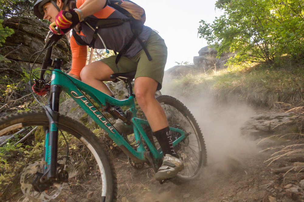
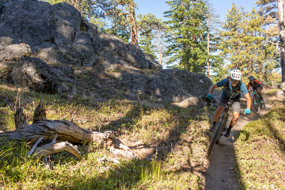
We’ve spent several seasons talking to riders and exploring sections of the Oregon Timber Trail ourselves to find the best gems of backcountry trail along the route. We’ve partnered with Travel Oregon and Ride with GPS to share best day rides in each of the four tiers and came up with something for every skill level.
Even if bikepacking isn’t your thing, we hope these guides will get you out exploring the state’s best singletrack on two wheels whether it’s for a couple hours or for the whole season! Keep reading to find GPS files, overview of the riding, and other attractions in each area.
Jump to:
Rides in the Fremont Tier
Rides in the Willamette Tier
Rides in the Deschutes Tier
Rides in the Hood Tier
“Remoteness, views, and backcountry singletrack were the most rewarding part of my experience.”
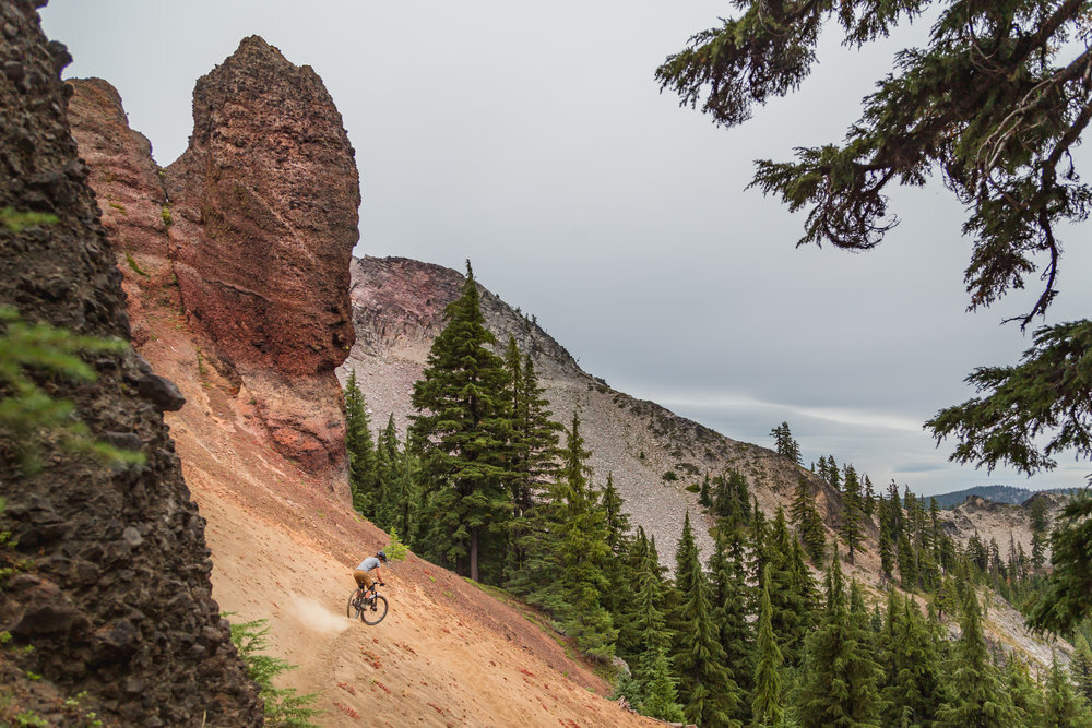
FREMONT TIER
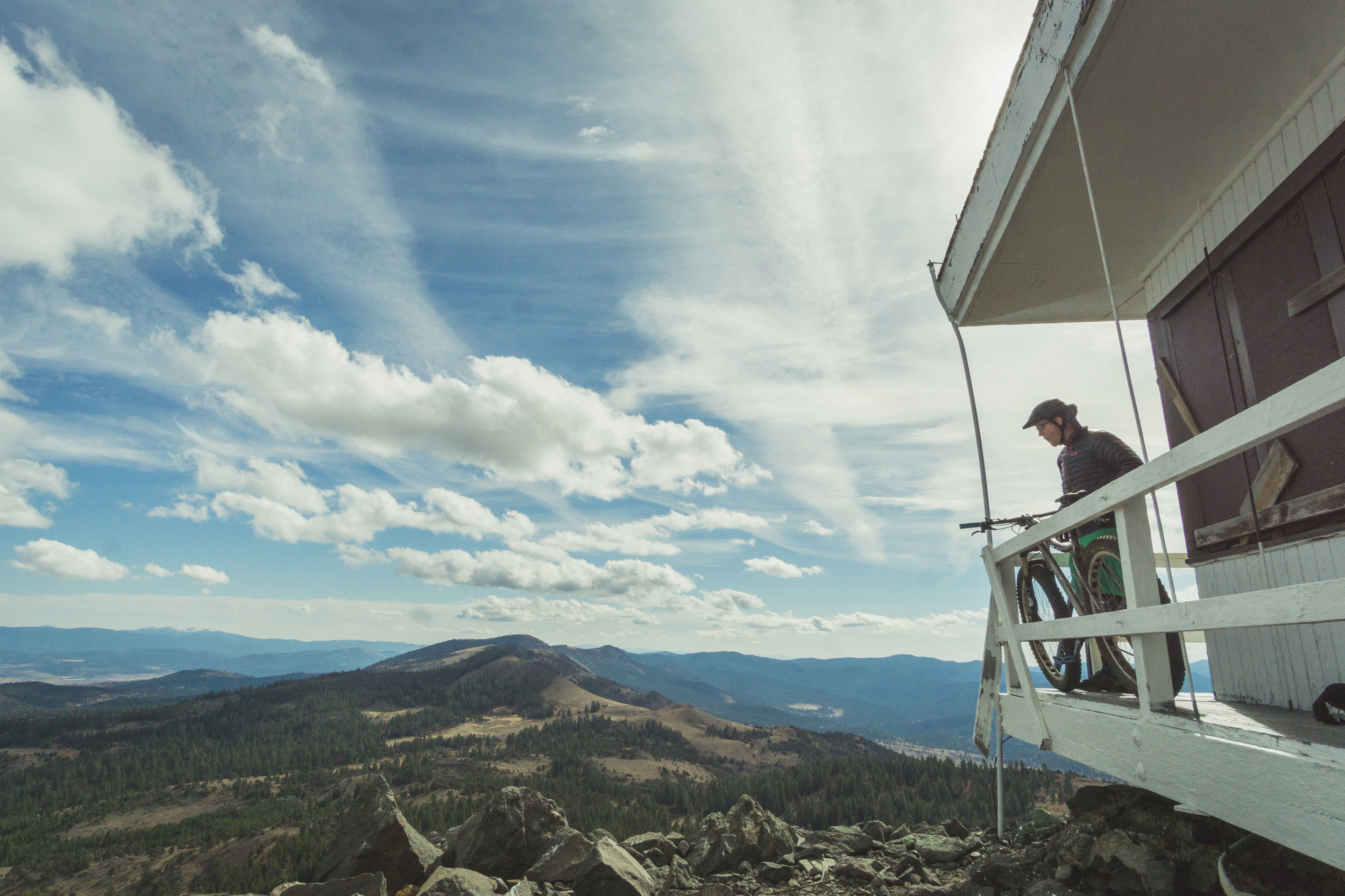


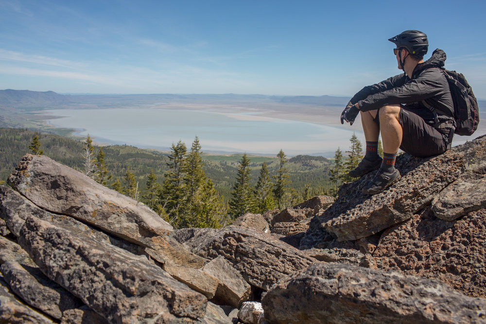
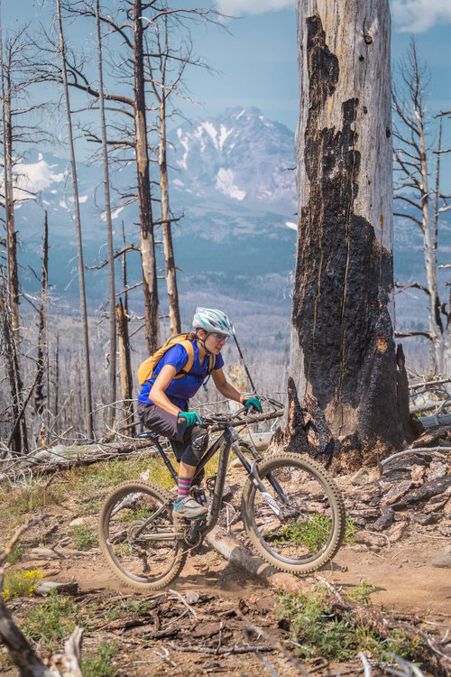
The vast basin and range landscape of the Oregon Outback is home to an unfamiliar Oregon. Oregon’s iconic temperate rainforests, mossy firs, and gurgling streams are a rare treasure if not impossible to find. The place names and trails are foreign to most, and certainly only visited by a few hardy souls in years past. Therein lies its intrigue—the Fremont Tier beckons those looking for solitude, remote singletrack, and a rugged physical challenge through expansive, awe-inspiring country. Follow us as we explore some of the best sections of singletrack to the Oregon Timber Trail’s highest point, along the iconic Winter Rim, and up the “Chewy” Valley.
Located deep in Oregon’s dry side, there’s little shade and mid summer temps can soar into the triple digits. Much of the Fremont Tier is located above 6,000’ however, so snow and low temps can persist until Memorial Day and arrive again by October. Early June will have colorful wildflower blooms and you’ll experience the desert come alive—it’s our favorite time to visit. If you’re looking for even more riding, Hager Mountain and Crooked Creek are great places to start.
Do:
Wear sunscreen, and protect yourself from the sun. Shade is elusive and the sun unrelenting.
Bring a camera—the views are unparalleled.
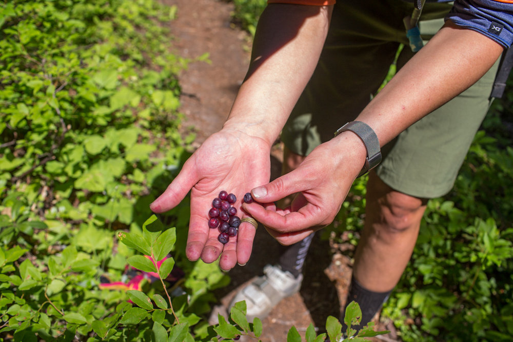
Pack a swimsuit—several developed hot spring resorts are a welcome respite for sore muscles.
Make sure you have a full tank of gas. Stations are few and far inbetween, and not necessarily open on Sundays.
Don’t:
Try to ride after a rainfall—the dry soil turns to sticky clay and can render your bike immobile in a matter of seconds.
Bite off more than you can chew, these trails are rugged and remote. You’ll be far from civilization and likely out of cell service.
Be shy, the locals have some great stories from generations of ranching and exploring this land.
Did you know?
The Chewaucan River’s name is derived from the native Klamath words “tchua” and “keni” meaning “place of the wild potato.”
The Paisley Caves located at the edge of an ancient inland seashore are the home to the oldest verified DNA evidence of humans in North America—some 14,300 years ago.
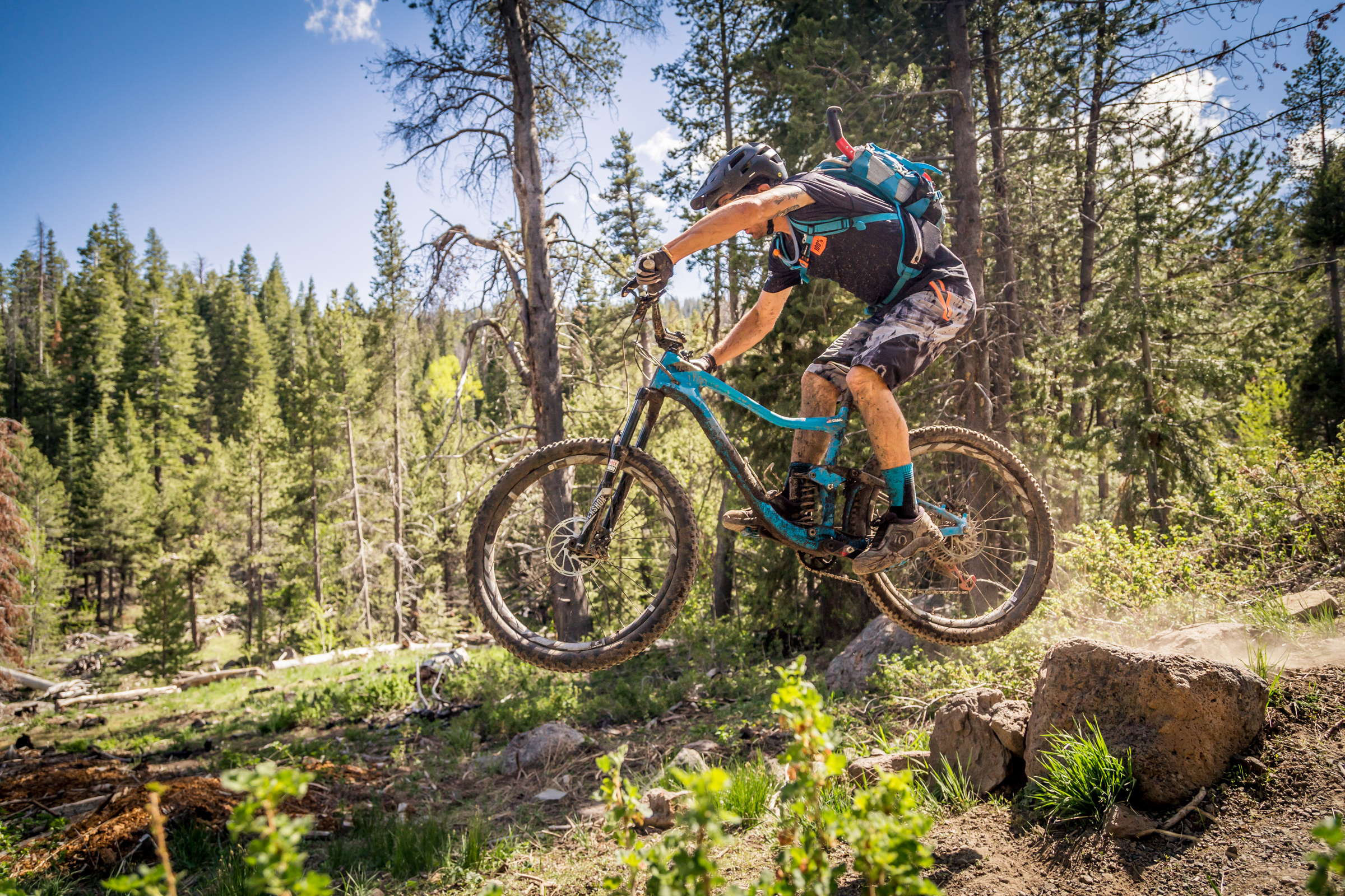
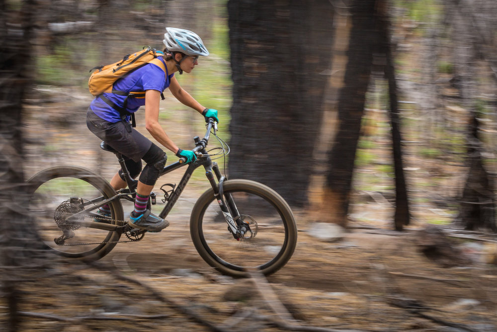
WILLAMETTE TIER
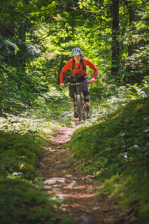


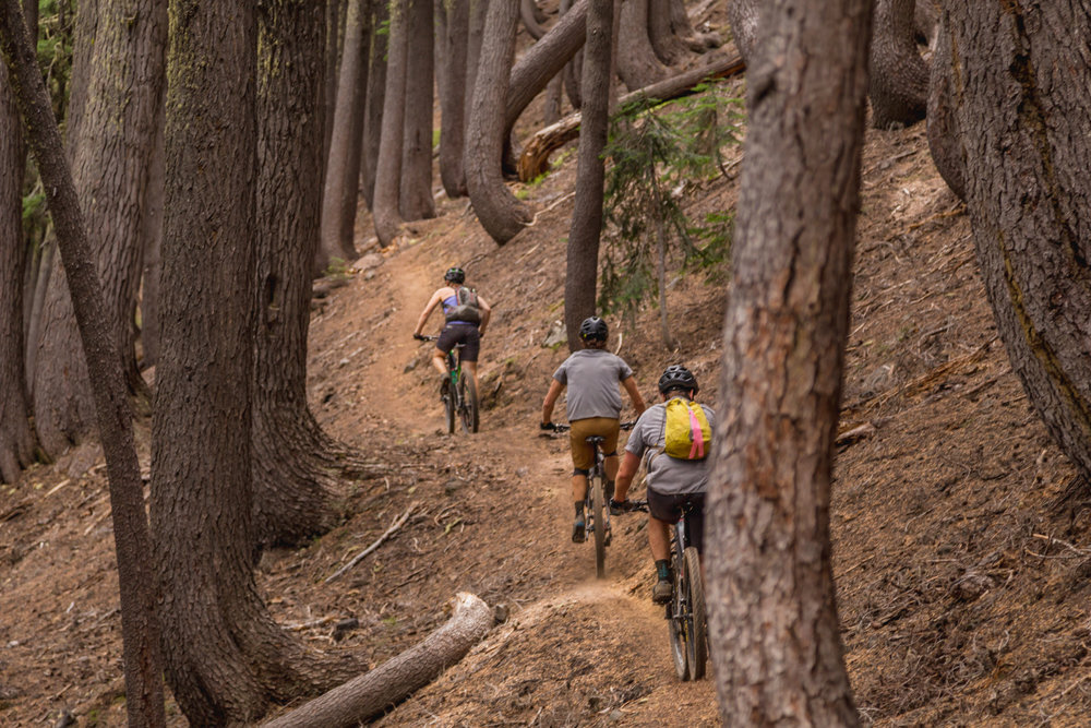
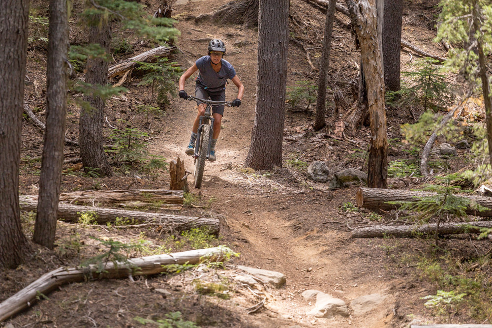
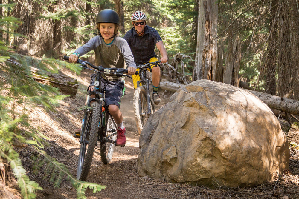
The Willamette Tier doles out an almost fairy tale version of what most people imagine Oregon to be. Giant stands of old growth firs tower twice as tall as seemingly possible. Very little light reaches all the way to the forest floor, and when it does its dappled rays are instantly absorbed by a deep loamy layer of moss, lichen, and seasonal fungi. Water bubbles out from under almost every other stone, forming a thousand miles of ice cold capillaries leading to the pacific ocean. The spine of the Cascade Range—with names like Sawtooth and Cowhorn—crumbles into late-melting alpine lakes and sprouts vast meadows of blooming bear grass.
Because of this area’s dense forests and high peaks it’s usually late June before the higher elevation trails are free of snow and fallen trees, and hordes of mosquitoes (or “mozzies”) clog the trails soon after. Those in the know say late summer and fall is the best time to explore the high country, but some of the lower elevation trails can be ridden almost year round. The community of Oakridge is welcoming year round as well, with a bustling pub and several options for warm beds and hot showers. Other world-class rides in the area will keep you coming back for years—Moon Point, Larison Rock, Alpine, Tire Mountain, Grasshopper, Dead Mountain, Heckletooth, Waldo Lake, Lawler, Hardesty… the list goes on.
Do:
Pack bug spray, the strongest you can find.
Grab a shuttle from Cog Wild or Oregon Adventures. To loop most of the trails near Oakridge you’ll be climbing a lot on gravel roads... you deserve a break, don’t you?
Don’t:
Get lost. Many of the trailheads are unsigned and hidden and there’s a vast network of forest roads that all look the same.
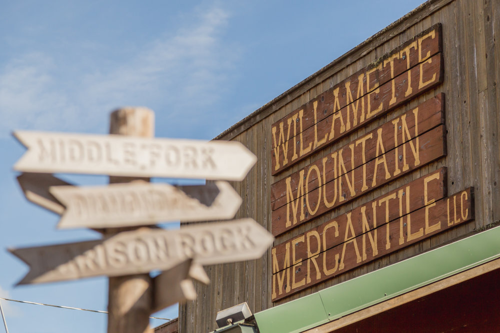
Pass right through town without stopping at the Willamette Mountain Mercantile to check out a trail map and ask about conditions.
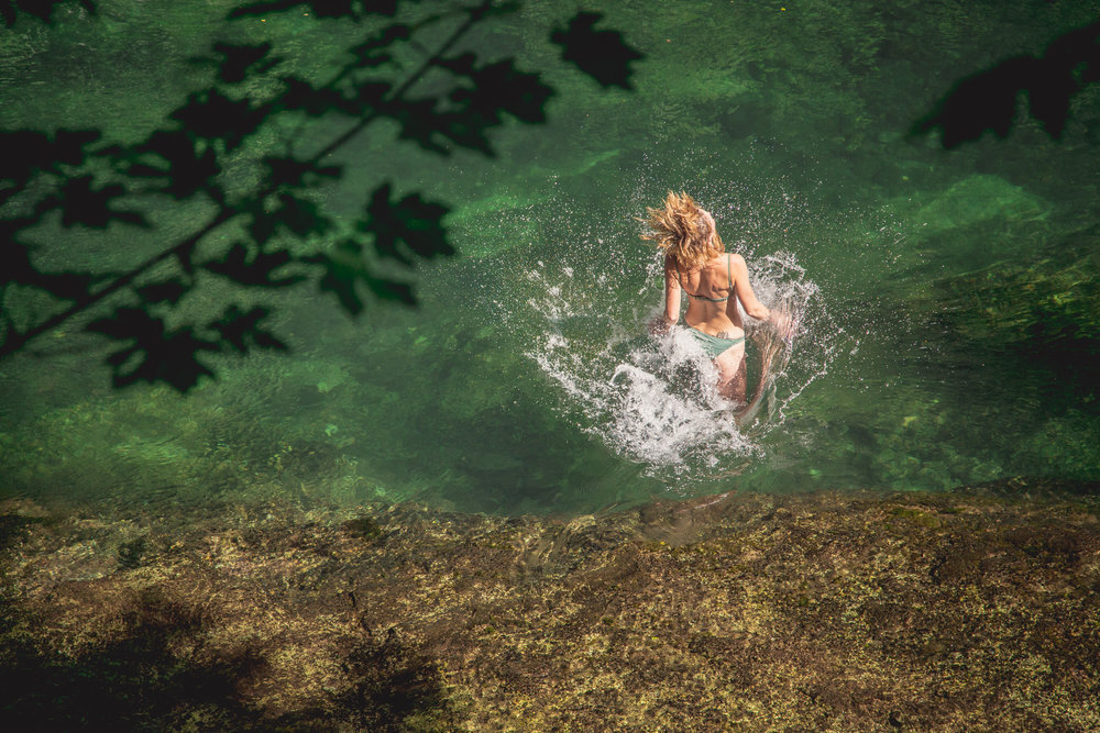
Be afraid of the water. The immense Middle Fork watershed has some of the most inviting swimming holes in the state.
Did you know?
The Willamette National Forest is home to some of the most magnificent forest groves in the world—Douglas Firs tower over 300 feet in some places. In 1993 it was estimated that there were almost 600,000 acres of old growth within the forest, and in 2018 the White House Christmas tree was harvested from these mountains.
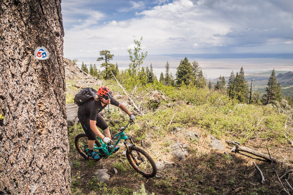
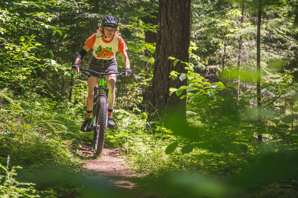
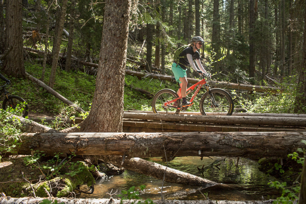
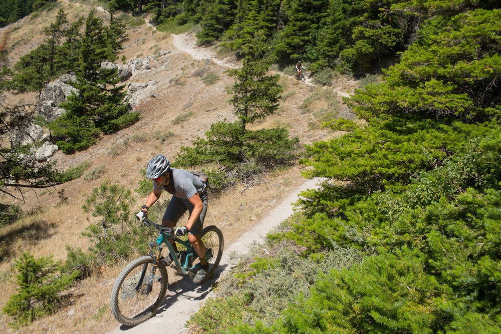
DESCHUTES TIER

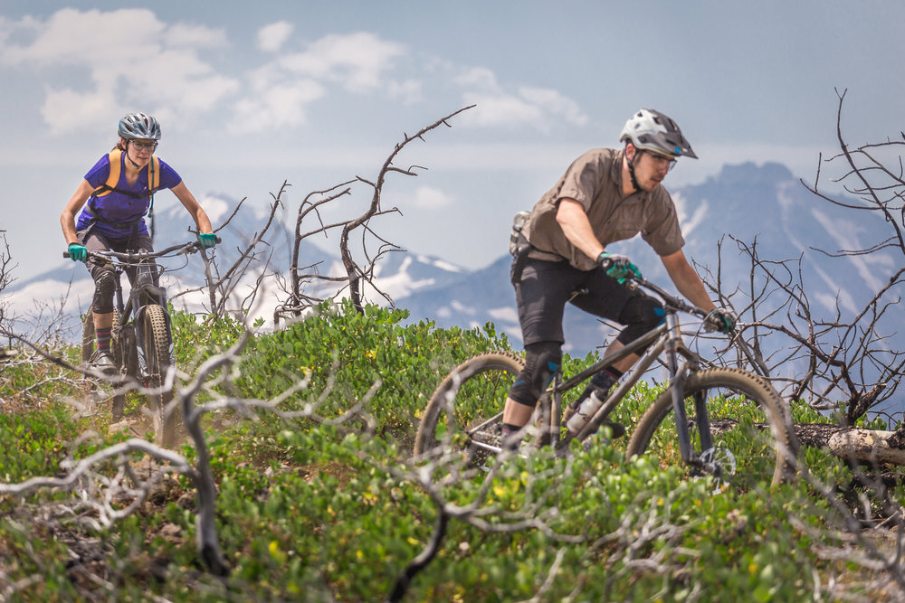
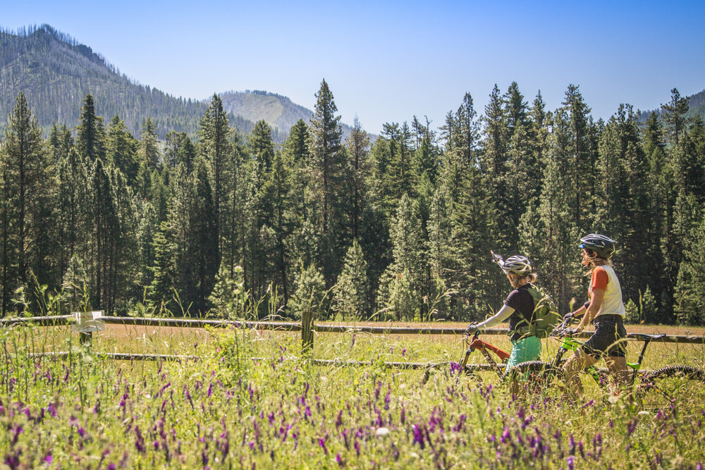
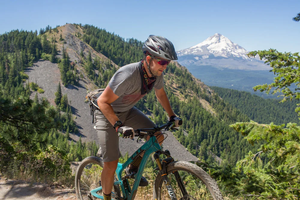
Welcome to the drier side of the cascades. While much of the Central Oregon valley stays relatively temperate through the winter, the Oregon Timber Trail traverses the Cascade Lakes region at 5,400’. Snowpack may persist until June or July and the mosquitoes can be as plentiful as the lakes. The trails are often sandy and dotted with lava rock. But this high desert brutality isn’t without its charms—the resorts and lakeside stores provide fairly plentiful services compared to much of the Oregon Timber Trail and the elevation gains are fairly gradual. The riding near Bend is known to be fun, flowing, and family friendly; if not a little crowded. In contrast, the OTT sticks to the backcountry through subalpine regions that sees much less traffic. To south and west of Mt. Bachelor to Waldo Lake lies a volcanic plateau dotted with calderas, lava flows, and miles of singletrack. It’s much less crowded and you’ll enjoy the variety and challenge of the terrain. Get up above it all on one of the many peaks like The Twins and you’ll start to understand how spectacular this area really is.
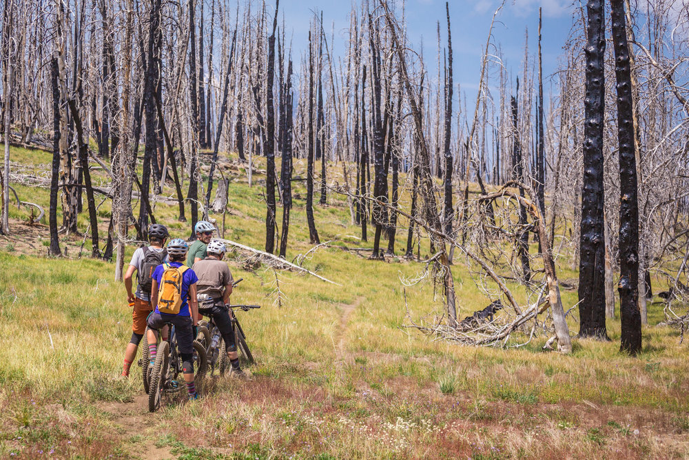
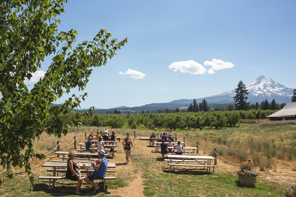
If you’ve never visited Three Creek Lake or Tam McArthur Rim farther north nestled under Broken Top, you’re in for a treat. It’s a glacial cirque, formed by the Cabot Creek glaciation 13,000 years ago. Today it is host to all kinds of recreation and it’s located just up the road from Sisters. The 4,000’ descent from Three Creek Lake on Trail 99 takes you through dramatic burn areas in several stages of regrowth. Flowing creeks lined with all kinds of wildflowers and breathtaking views of Broken Top, the Sisters, and Black Butte are omnipresent as you follow the ridge down. Sisters has everything a two-wheeled traveler could want including the very complete Blazin Saddles bike shop, expertly pulled espresso at Sisters Coffee Company, cold beer at Three Creeks Brewing Company, and classic diners like Sno-Cap Drive In.
Do:
Bring a camera—the views of volcanic peaks are spectacular.
Stop to enjoy the view—or even a swim—at one of the many alpine lakes in the area.
Check in with the Forest Service regarding fire danger and closures.
Bring plenty of water and carry sunscreen and/or a sun shirt, since there is considerable sun exposure in this area.
Respect all trail users—when encountering equestrians on the trail ask how best to approach or pass their horses on trail. Say hi to all trail users regardless of mode.
Don’t:
Depend on cell phones in case of emergencies. Service can be spotty in some areas.
Did you know?
Three Creek Lake is located in a glacial cirque, below Tam McArthur Rim, which was formed by glacial ice about 13,000 years ago during the Canyon Creek advance of the Cabot Creek glaciation.
The Twins is a geologically recent cinder cone with fir and hemlock forests, lots of large rock ridges and outcroppings and a grassy meadow in the summit crater. The Twins got its name from the eroded crater rim leaving two rounded summits.
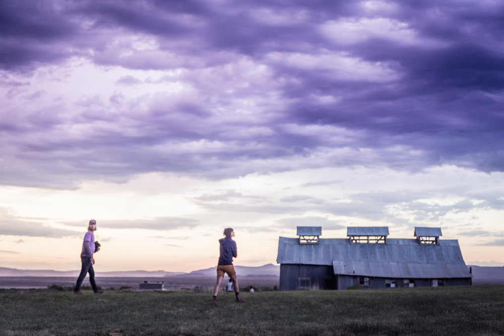
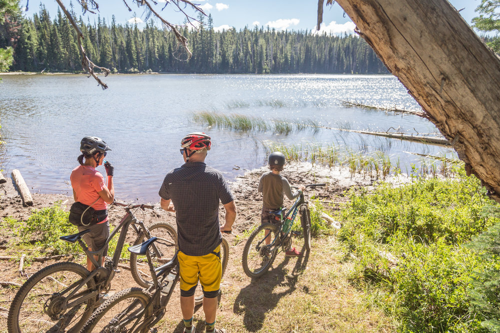
HOOD TIER
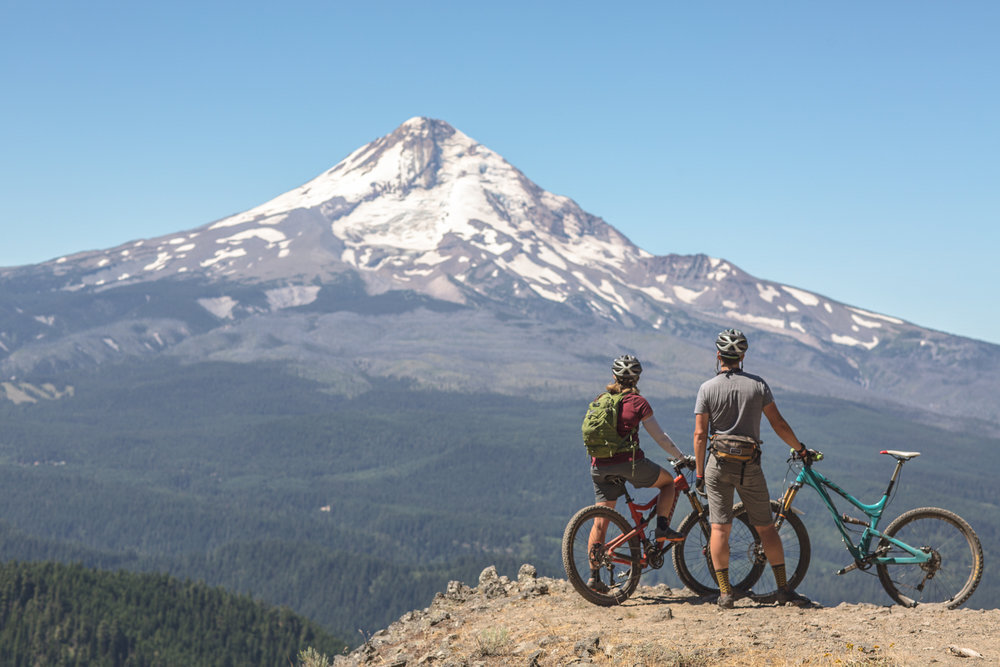
Just twenty miles east of Portland, the Mount Hood National Forest extends south from the spectacular Columbia River Gorge across sixty miles of forested mountains, lakes, and streams south to Olallie Scenic Area. This is a place rich in history as emigrants of the Oregon Trail journeyed west to the Willamette Valley. Post Canyon is perhaps the most well-known trail system around, but the real gem of this area is towards Mount Hood in the 44 Trails zone. A vast network of trails connects this immense high-elevation ridgeline to the east of Mount Hood dividing the Hood River and Dalles watersheds. A myriad of loop options are rewarded with steep terrain, dense forests, lush lakes, and many spectacular mountain views.
Depending on when you plan your trip in the Hood Tier, snow can persist until late June and snow storms can return in the higher elevations as soon as September.
Do:
Practice leave no trace wherever your ride and camp.
Bring a camera—the views are spectacular.
Pack smartly and have navigation planned beforehand. Many areas have no cell service.
Don’t:
Stray off trail. Vegetation and trails are especially sensitive in the high country.
Bite off more than you can chew, these trails are rugged and remote. You’ll be far from civilization and likely out of cell service.
Ride after significant rainfalls – check gorge area trail conditions on Dirty Finger’s website: www.dirtyfingersbikes.com/trail-conditions
Did you know?
Mt. Hood is also known as Wy’east by the Multnomah Tribe – it’s a potentially active stratovolcano (it last erupted in 1907) and the highest peak in Oregon at 11,249 feet.
The Barlow Road was built in 1846 by Sam Barlow and Philip Foster and served as the last overland segment of the Oregon Trail. It was considered the most challenging of the nearly 2,000 mile Oregon Trail.
