


5% Paved
33% Dirt road
62% Singletrack
95% Percent rideable
Longest stretch between resupply: 92 miles. 2-3 days
Longest stretch between water sources: 15 miles, 1 day
Physical difficulty: 8/10
Technical difficulty: 7/10
Bikepacking challenge: Advanced
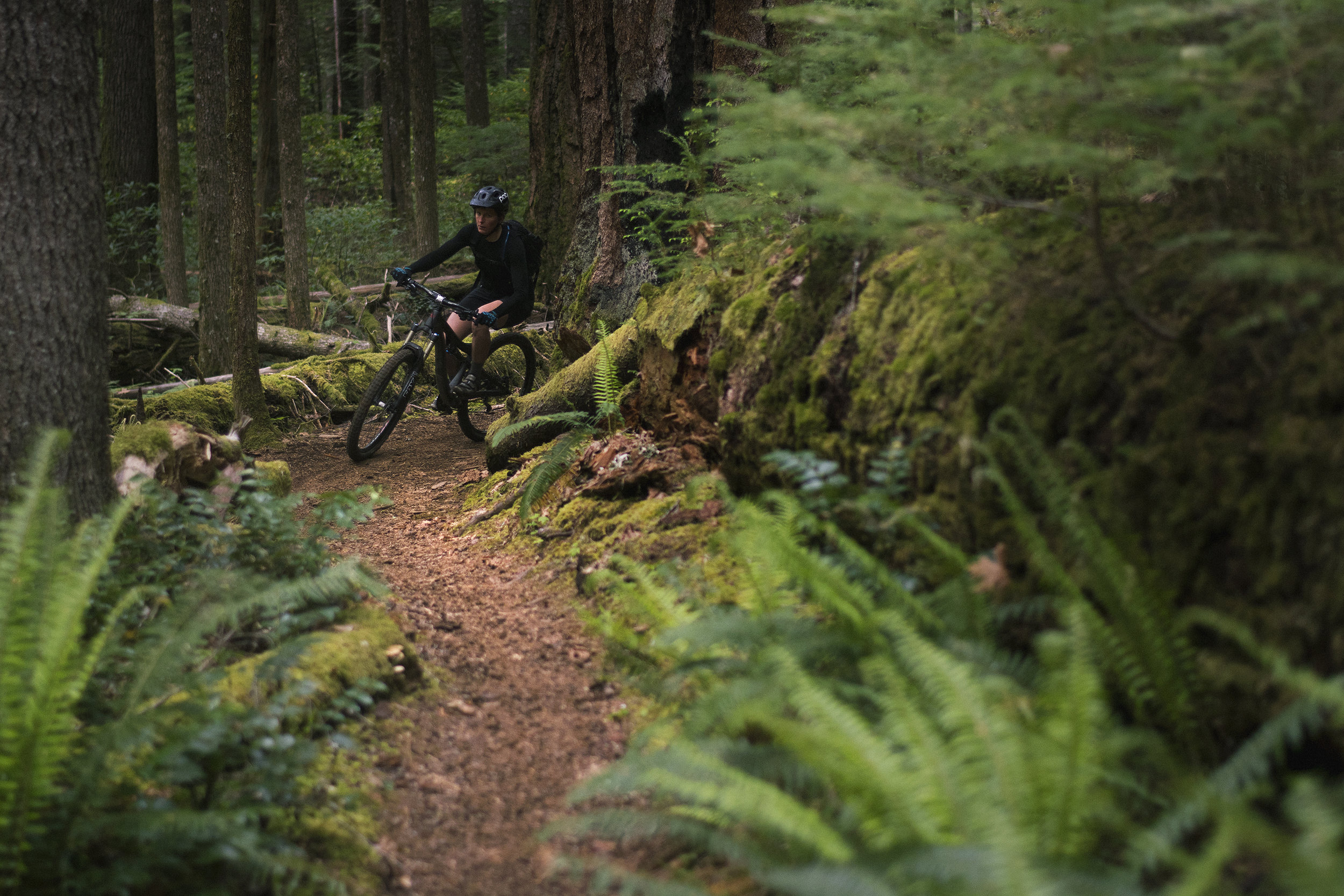
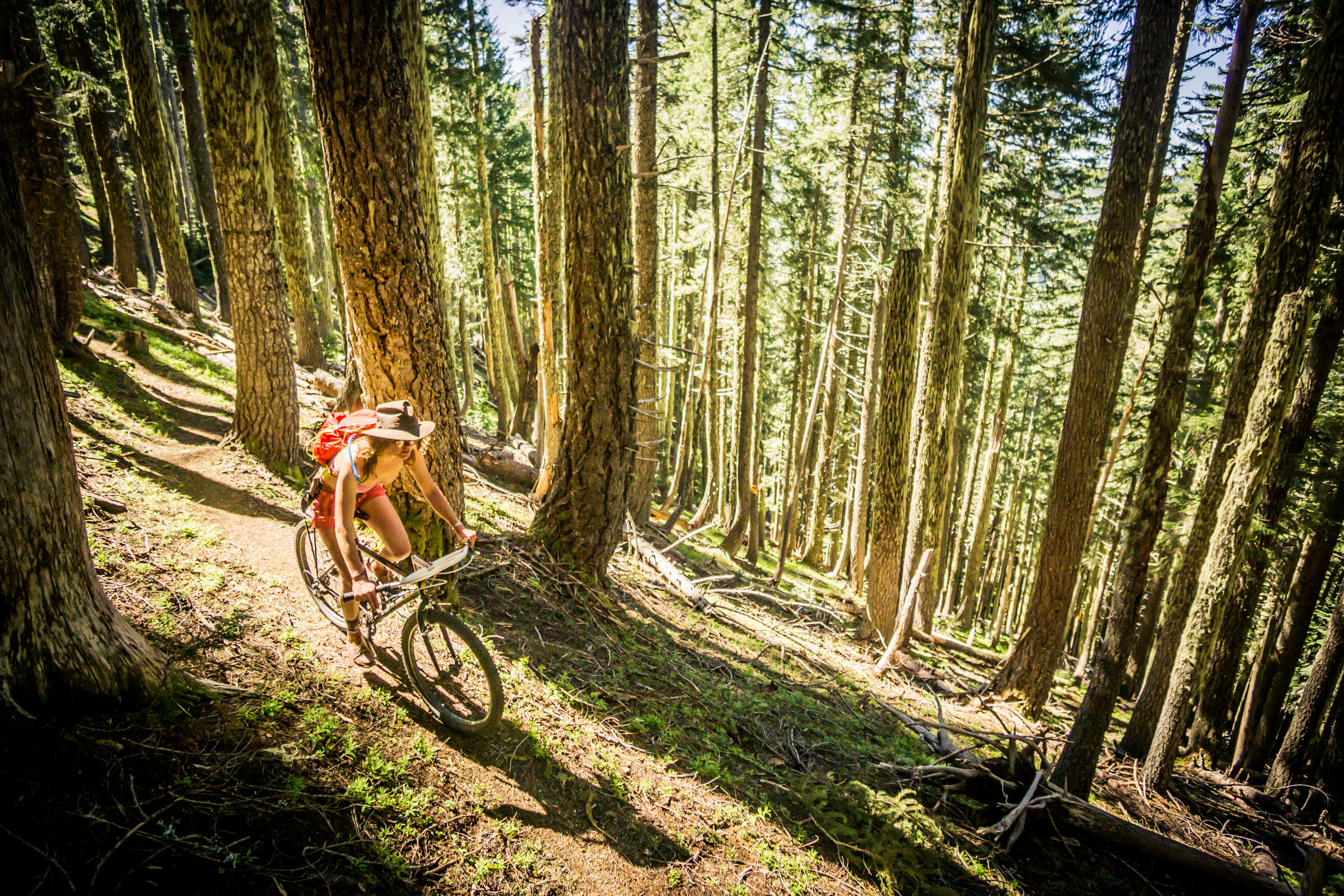
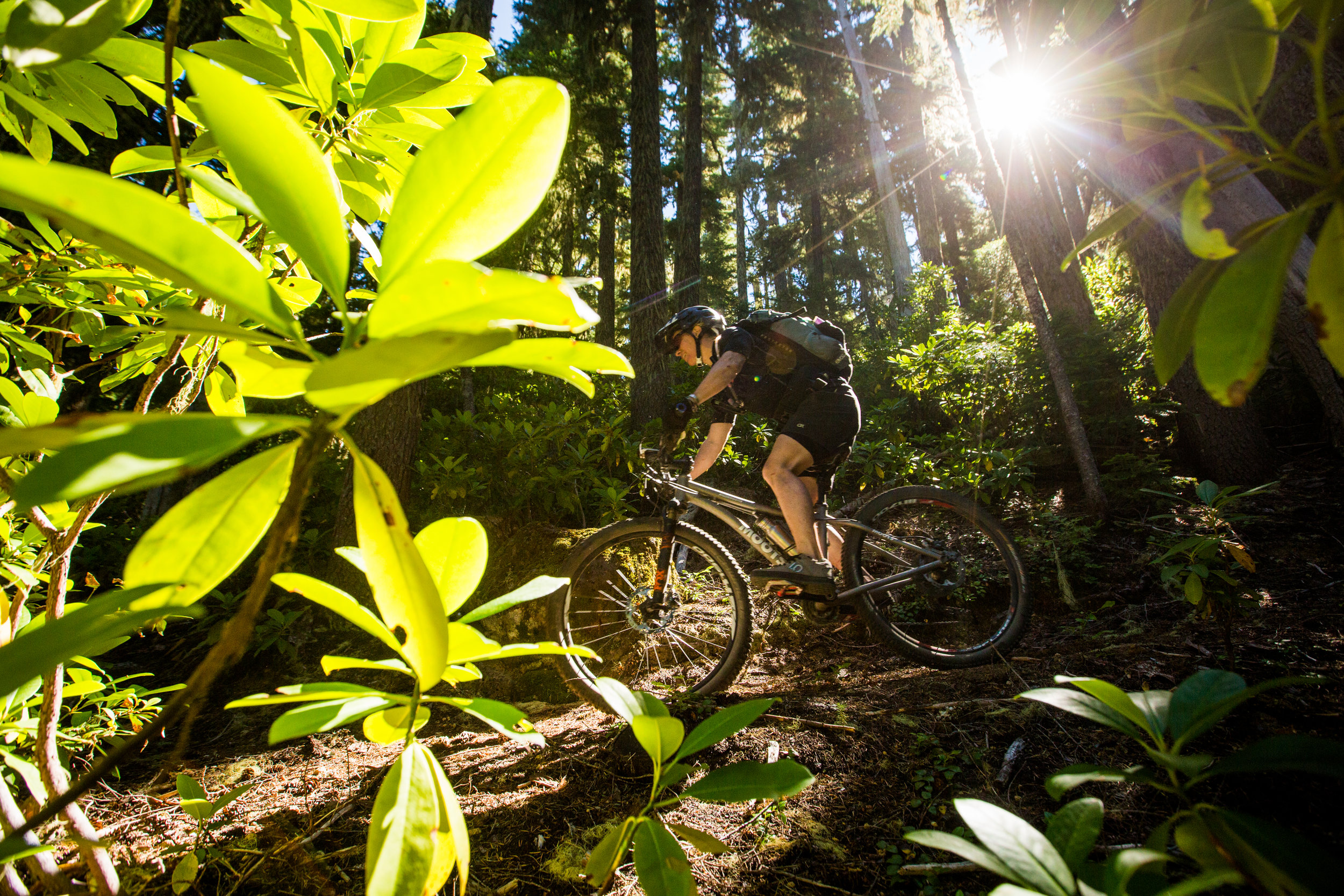
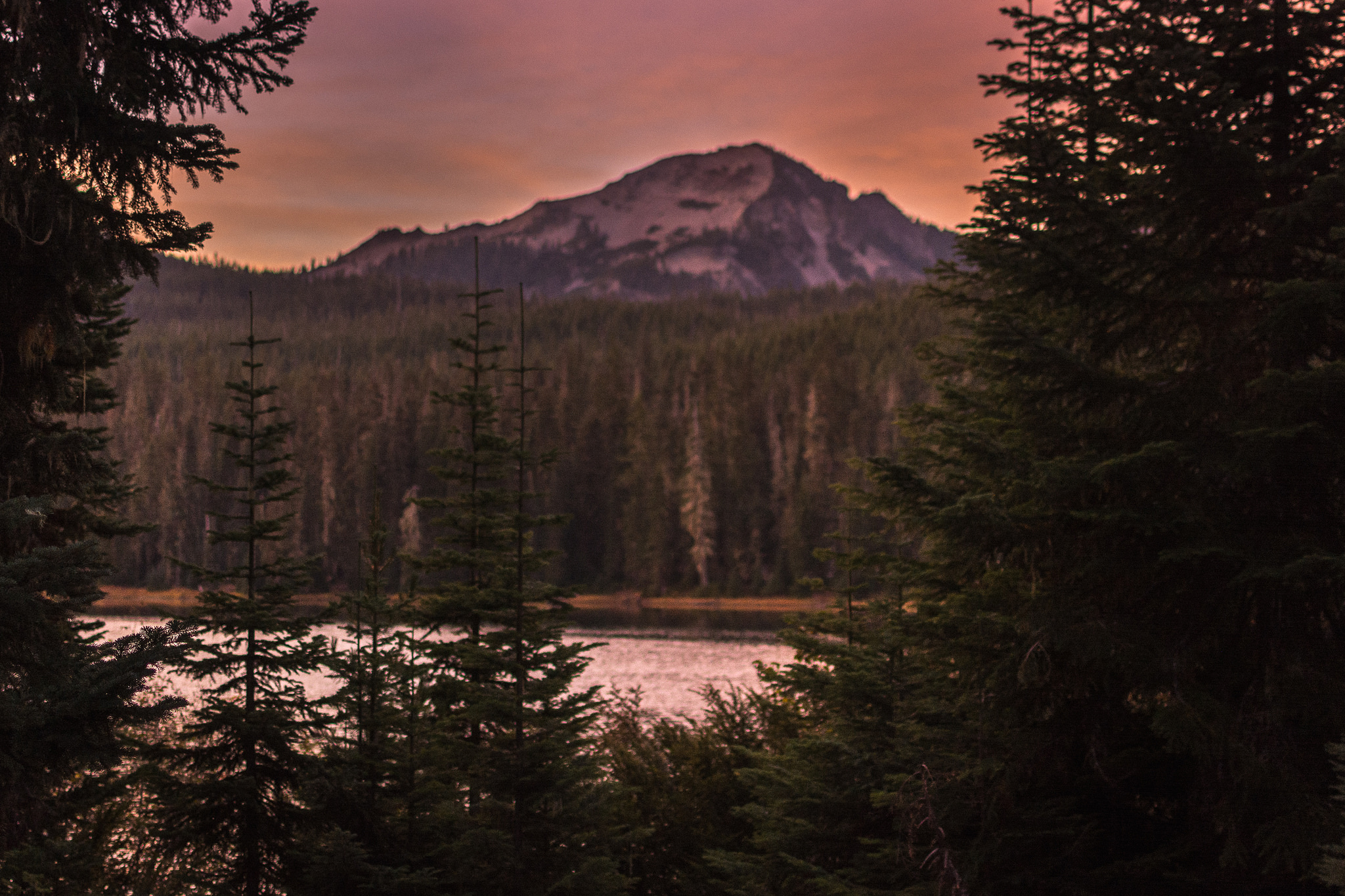
The Willamette Tier is markedly different from the Fremont Tier. The dry deserts, sparse ponderosa forests and wide open rangeland give way to dark, verdant and loamy forests as soon as you crest the Cascade Range. You’ll follow feeder streams and springs of the Willamette River’s Middle Fork for much of this tier, putting your water scarcity worries at ease—at least for now.
“The wet to dry ecological transition over the cascades is spectacular.”
Oakridge, one of the largest towns on the whole route, is a good halfway point to take a rest day, enjoy the pub, dip your feet in the river or hire a shuttle to take you unloaded to the top of one of the many world-famous Oakridge trails. If shuttling isn’t your thing, there are still a multitude of opportunities to ditch your bags at camp and ride some unloaded singletrack runs of Moon Point, Larison Rock or Alpine.
Once you’ve had your fill of rest and relaxation, you’ll climb the infamous Bunchgrass Ridge through glorious stands of old growth Douglas fir and sun-drenched alpine meadows. The tier rounds up with a descent down the slopes of Fuji Mountain and a lap around the bucolic shores of Waldo Lake.
Highlights
Summit and Timpanogas Lake - Gorgeous peak-rimmed alpine lakes perfect for pitching camp
Windy Ridge - An optional loop along ridges around Timpanogas Lake, this trail is one of the most stunning and unique in the state
Middle Fork Trail - A long, arduous classic following the Middle Fork of the Willamette River over a variety of terrain
Oakridge - A sleepy little logging town with a chance to go rafting, fishing, hire some shuttles, soak in some hot springs, or just stay in town and enjoy some R&R at the brewery, BBQ, or distillery
Bunchgrass Ridge - A backcountry epic up and over the Cascades a second time
Waldo Lake - A large bucolic lake, perfect for spending a summer day

Crumbling old growth © Gabriel Amadeus
Logistics
The only resupply point is Oakridge, roughly in the middle of this tier. That said, Oakridge has everything you’d need, and there is plenty of water available throughout most of the Willamette Tier.
Both Bunchgrass and the Middle Fork trails are remote, backcountry trails where bail options are limited.
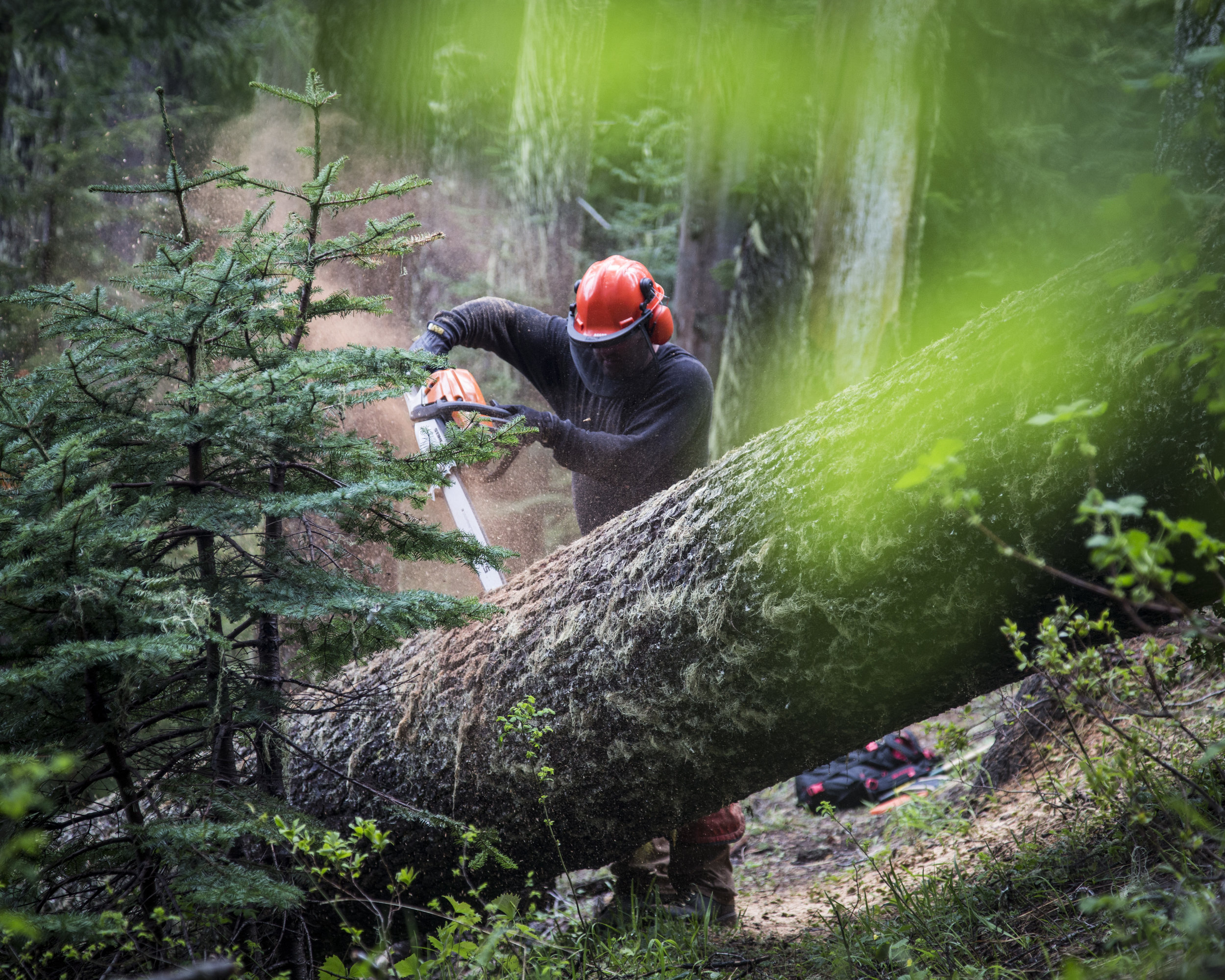
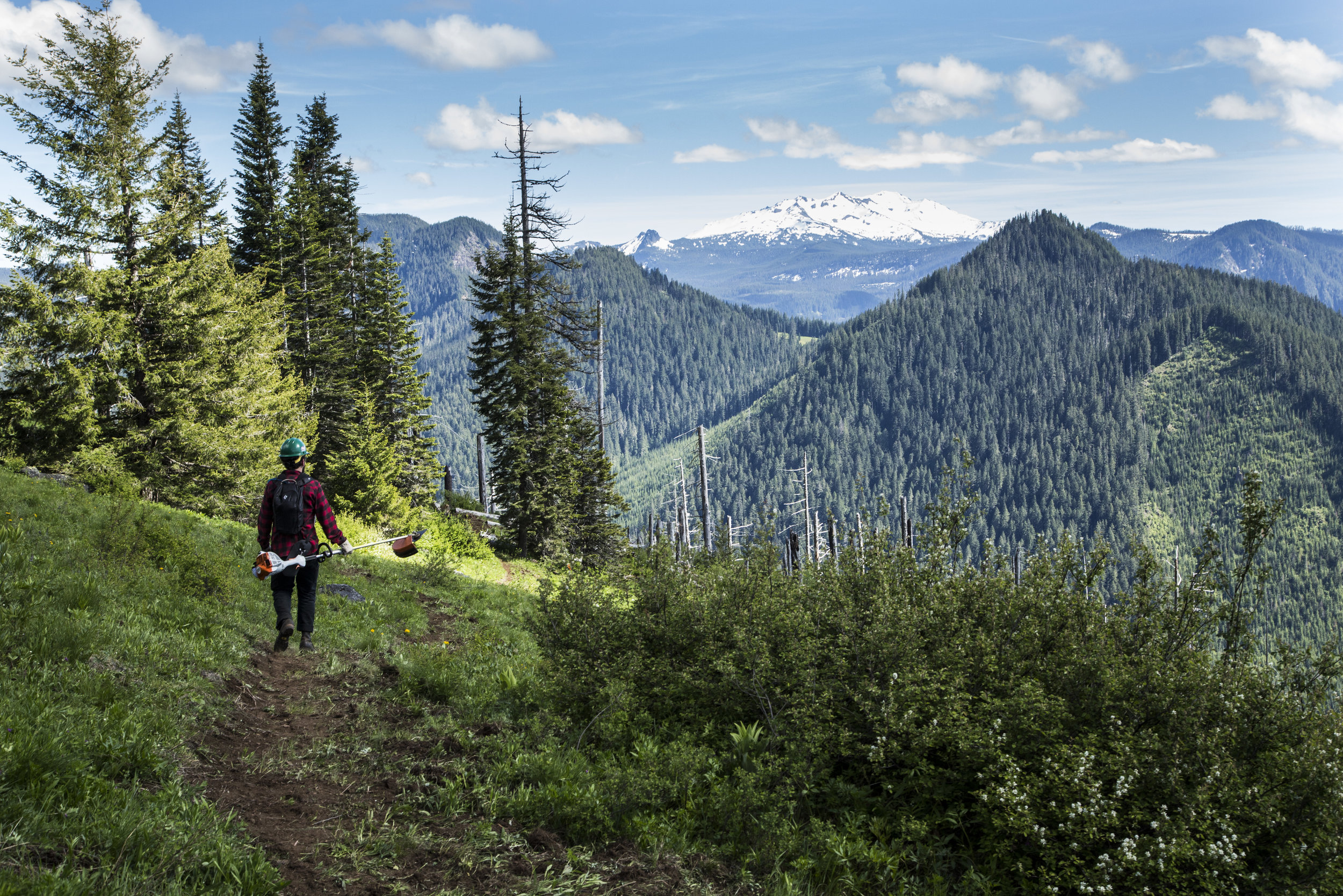
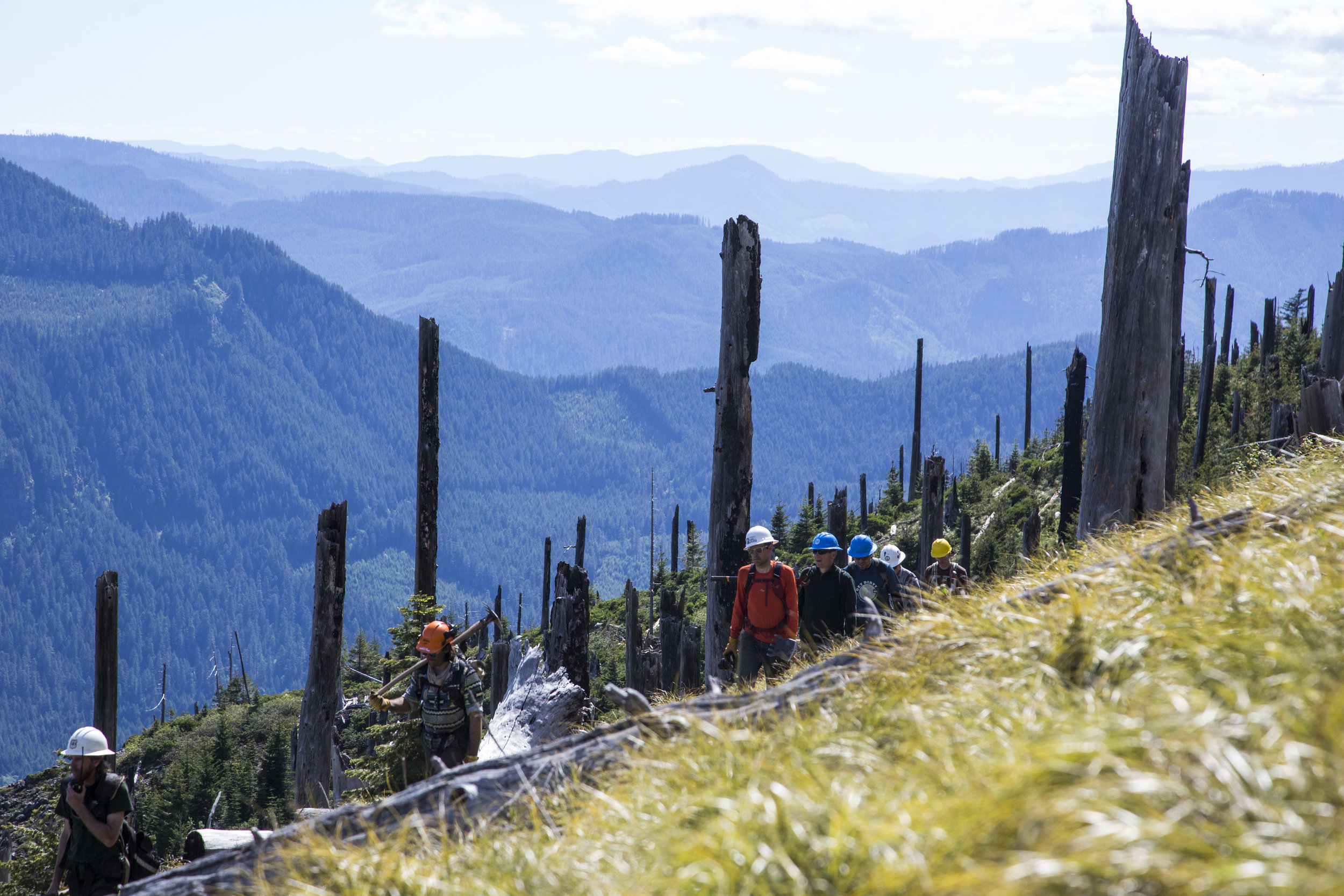
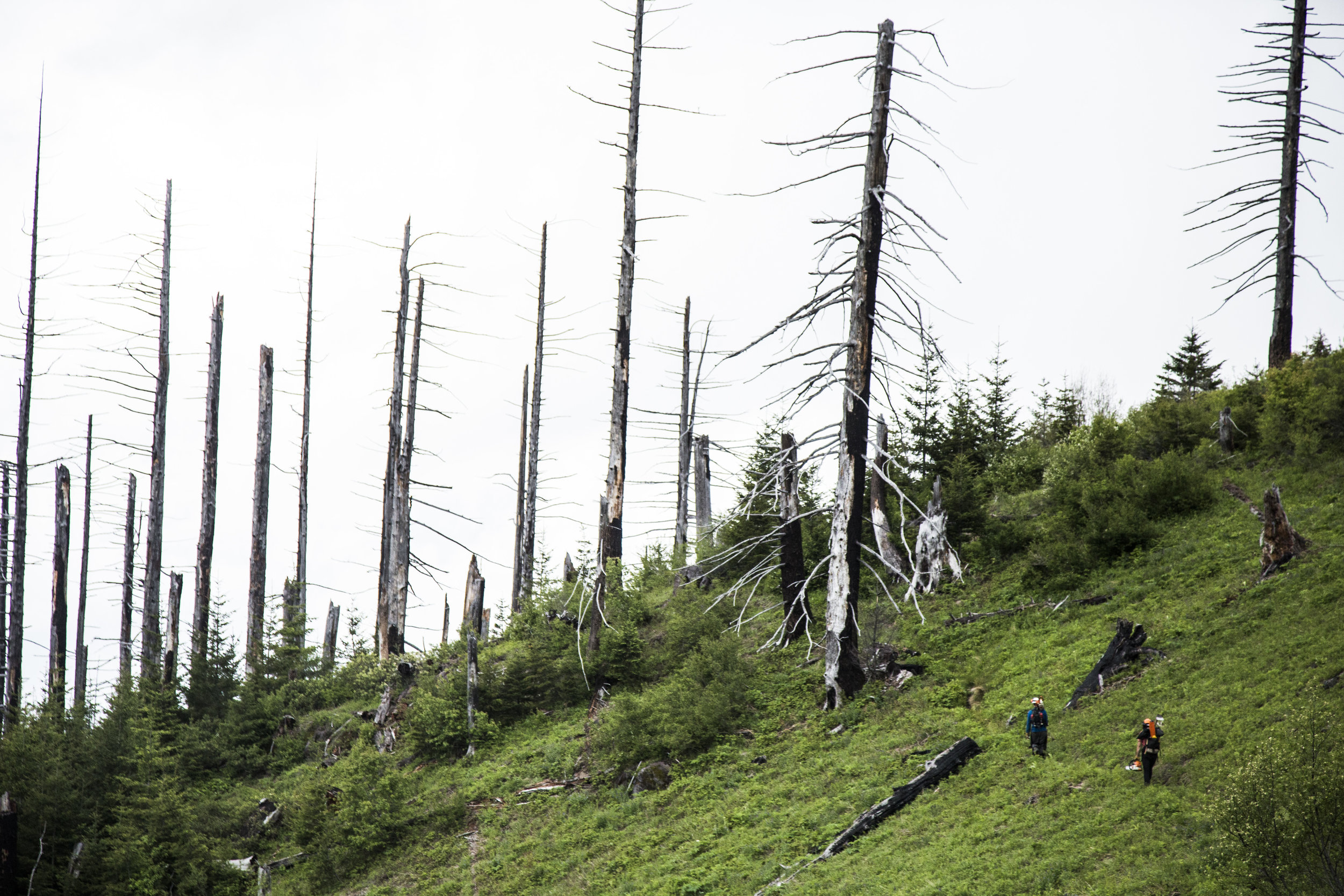
This tier is heavily forested and receives a substantial amount of snowfall and windstorms each year. This leads to a lot of big timber falling and blocking the trails that may not get cleared until mid summer. Be prepared to lift your bike and navigate around these formidable obstacles. (Or, ahem, volunteer at one of the Oregon Timber Trail Alliance’s stewardship events.)
Trail & Forest info
Middle Fork Ranger Station - Willamette National Forest - (541) 782-2283
Recommended maps
USGS Topographical Quadrants available at USGS.gov
Crescent Ranger District (2000) - Deschutes NF
Middle Fork Ranger District (2013) - Willamette NF
Adventure Maps, Oakridge, Oregon Trail Map
Bike shops
Willamette Mountain Mercantile, Oakridge, OR - (541) 782-1800
Nearest medical facilities
St. Charles Medical Center
2500 NE Neff Road | Bend, OR 97701 | (541) 382-4321
PeaceHealth Sacred Heart Medical Center University
1255 Hilyard St. | Eugene, OR 97401 | (541) 686-7300
Law enforcement
Lane County Sheriff:
541-682-4150
KALAPOOYA COUNTRY
Segment 4 of 10
Chemult to Oakridge

Sun dappled undergrowth © Gabriel Amadeus
Segment length: 94 miles
Total climbing: +4,158 feet
Number of days: 2-3
6% Paved
45% Dirt road
49% Singletrack
95% Rideable
Physical difficulty: 5/10
Technical difficulty: 7/10
Bikepacking challenge: Intermediate
Longest stretch between resupply: 94 miles, 2-3 days
Longest stretch between water sources: Frequent natural water sources
Resupplies
Mile 206: Chemult - Full services: large gas station, market, and restaurants.
Mile 301: Oakridge - Full services: Ray’s Grocery, Willamette Mercantile (Bike Shop), Brewer’s Union Local 180, many small markets, stores, and restaurants.
Commercial Lodging
Mile 206: Chemult - Several motels and lodges
Mile 296: Double Diamond Lodge
Mile 301: Oakridge - Oakridge Lodge and Guest House, Cog Wild’s Let It Rain Cottage, Westfir Lodge (off route), several motels
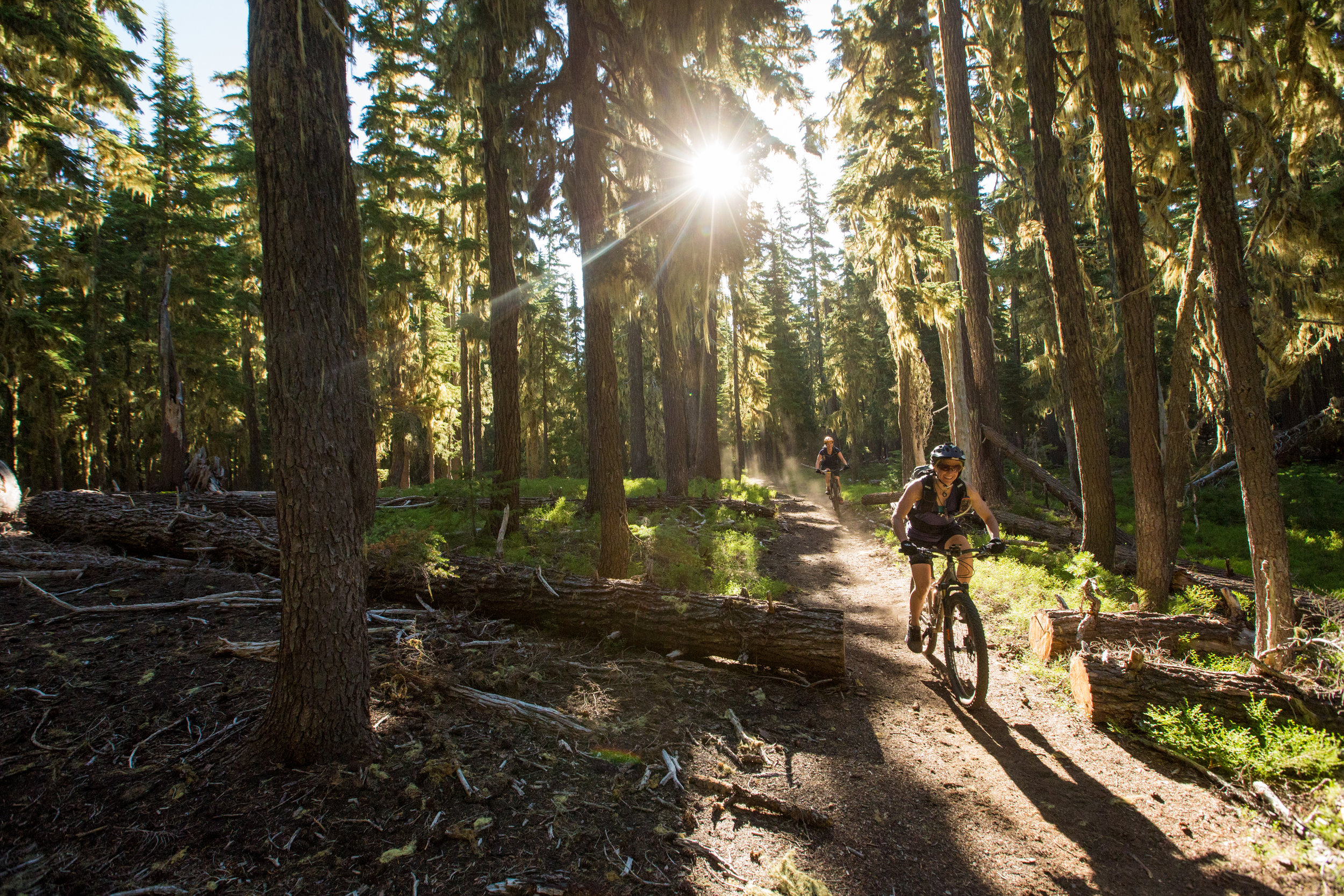
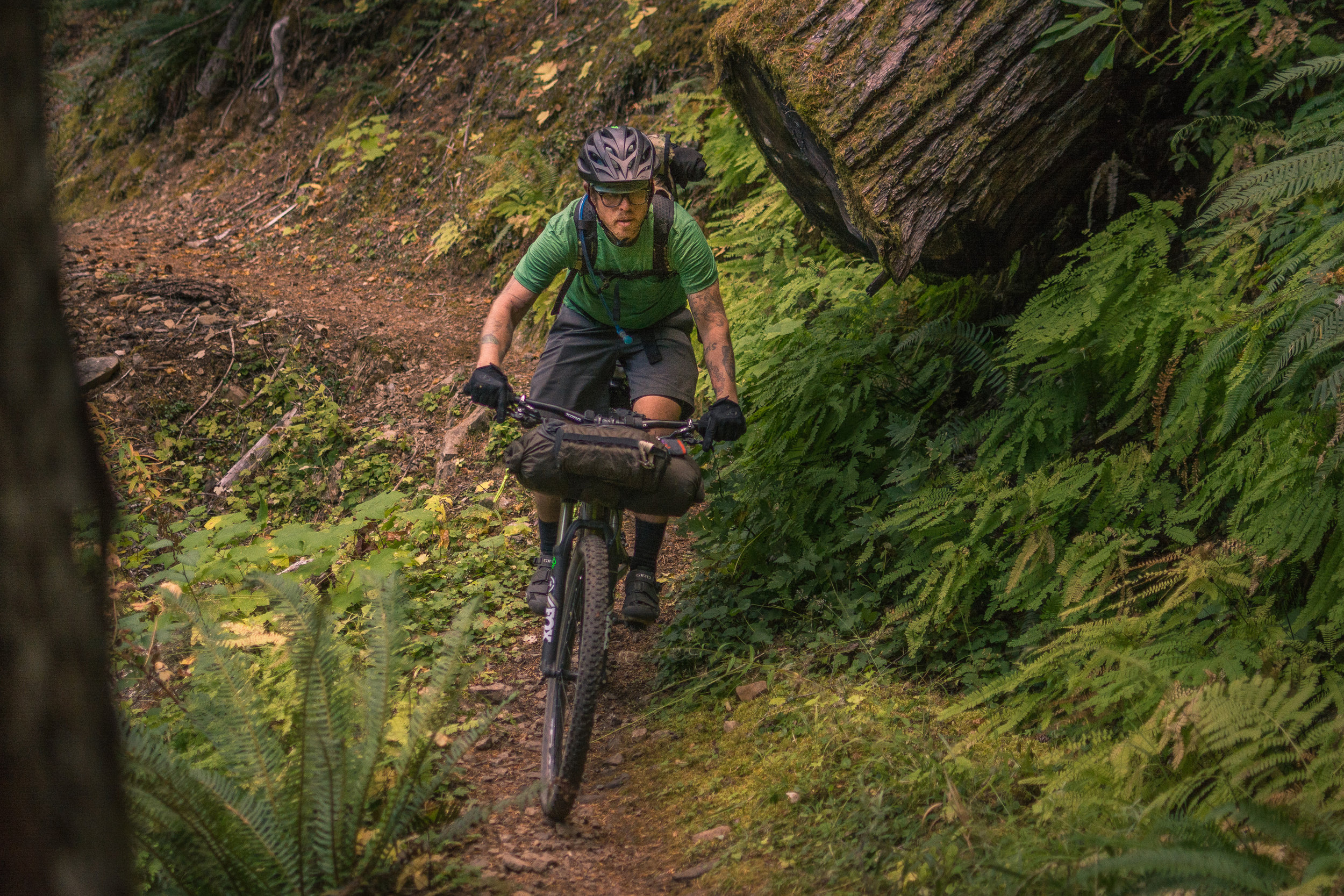
The Kalapuya Country segment is stunning in its shift from the dry eastern slopes of the Cascades to the lush, thick stands of cedars and firs on the west side and down the Willamette River’s Middle Fork watershed. You’ll experience serene mountain lakes, technical singletrack descents, and lay on the banks of natural springs bubbling from the forest floor. The segment finishes with a long flat pedal along the shores of Hill Creek Reservoir before ending in Oakridge, a great stop for a resupply and a rest day or two.

Windy Lakes © Gabriel Amadeus
The lakes and streams of the Middle Fork have ample native trout populations and keep your eyes open for dippers feeding in the stream or even a shy black bear or bobcat. The forests here are some of the most dramatic on the whole route. You’ll travel past alpine lakes, and down through dense jungles of giant twisted cedars, hemlocks, and Douglas Fir that allow only a rare beam of sunlight all the way to the forest floor. At times you’ll burst into sunny meadows, or fire-burned slopes. Take small detours and enjoy the springs and their miniature ecosystems. Watch as the grade mellows, the river slows down, and the forest transitions to sunlight dappled alder and poplar glades.
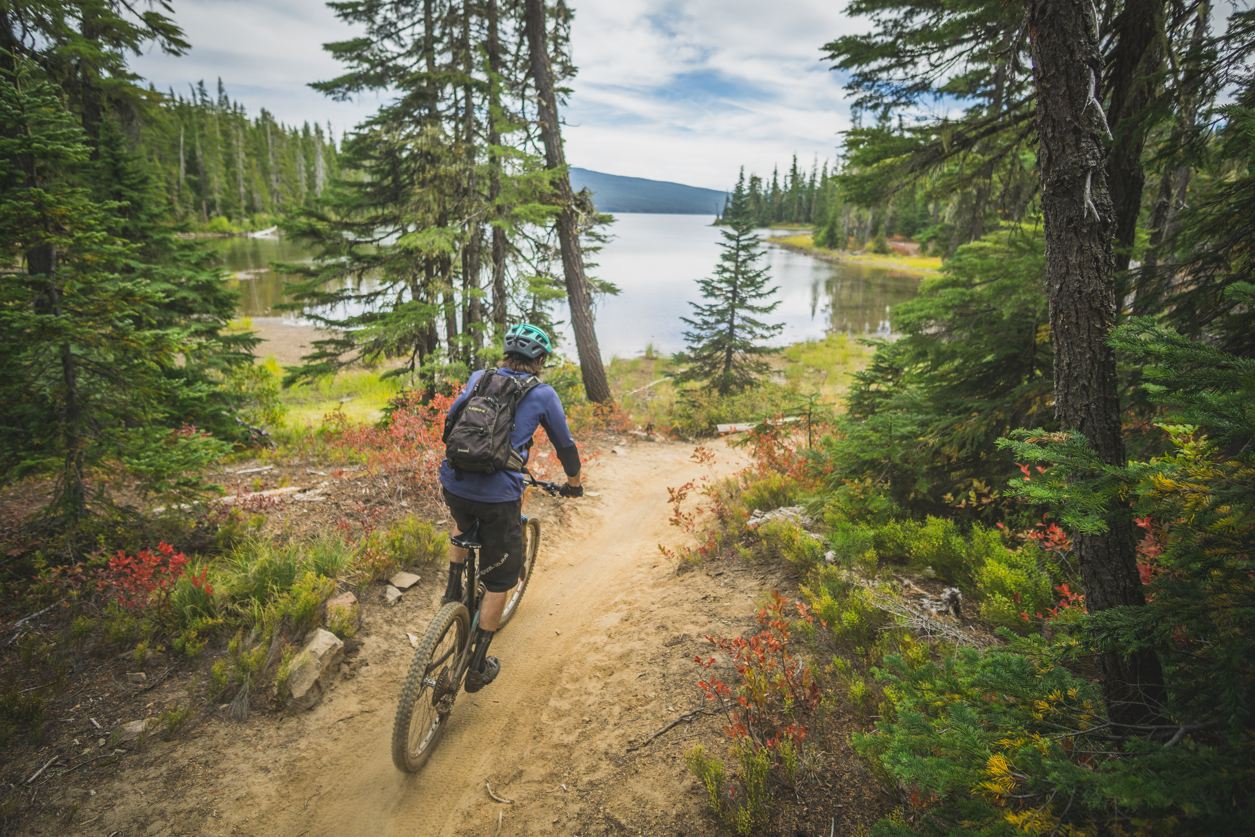
The first 30 miles of segment 4 and the Willamette Tier are relatively flat and easy gravel roads, slowly working their way deeper into the Cascade Lakes region. Water is still a scarce commodity here, but streams become more prevalent as you near Crescent Lake. At mile 232 you veer off the forest roads towards the little known Windy Lakes area and one of only two singletrack trails that cross the Cascades in all of Oregon. After a meandering 1,200 feet climb past Oldenberg Lake, spend one more night on the dry east side at several dispersed campsites near one of the Windy Lakes or continue on towards Summit and Timpanogas Lake. You’ll enjoy a mossy descent from Windy Lakes to Summit Lake and a pleasant pedal around its shores on a jeep road before connecting to Timpanogas Lake and the Middle Fork Trailhead.
Timpanogas is a great base camp with toilets, potable water, and access to an optional (and highly recommended) loop around Windy Ridge. Be warned: the mosquitoes of Windy and Timpanogas Lakes can be overwhelming during the mid summer months. There’s a rentable log shelter on its western shore maintained by the local snowmobile club.

Timpanogas Lake © Gabriel Amadeus
Once you’ve had your fill of the surrounding trails and ridge lines start your long descent towards Oakridge. It’s almost 30 miles of descending and 20 flat miles to finish it off. Don’t be deceived however—it’s a very exhausting 30 miles. Don’t miss Chuckle Springs, Sacandaga Meadows, or the alternate ambitious side loop on Moon Point Trail. Finish segment 4 and roll around the shores of Hill Creek Reservoir and across the pedestrian bridge to Greenwaters Park and the town of Oakridge.

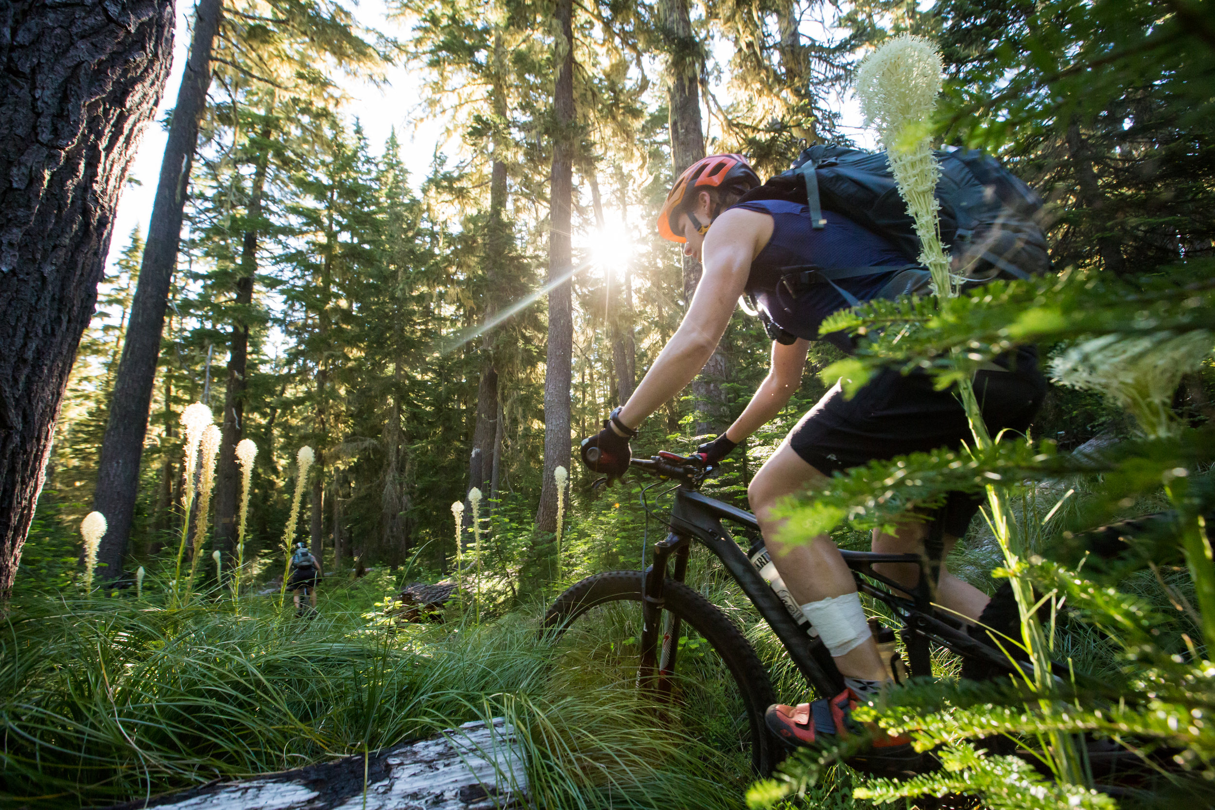
Bear grass in bloom © Leslie Kehmeier
Oakridge was a bustling timber harvest community in the years following World War II until the domestic timber industry collapsed in the 90s. The city has reinvented itself as a small town mountain bike mecca and quickly attracted international media and a slew of sold-out mountain bike racing events. The large trail network that made this transition possible has been around a long time, originally serving pack and saddle trains to remote outposts. Without the constant vigilance of MTB stewardship groups like Greater Oakridge Area Trail Stewards, Disciples of Dirt, Alpine Trail Crew Association, Trans-Cascadia, and the Willamette National Forest these trails would quickly and return to their natural state. The trail network is large and beckons a rest day (or three) with a hired shuttle guide to explore them unloaded.
Oakridge is roughly the halfway point on the OTT and offers a well stocked grocery store, a full service bike shop (that also sells carhartts and cast iron), a popular brewpub, distillery, and several lodging options. If you’re committed to sleeping on dirt, Salmon Creek Falls campground is just a few flat singletrack miles east of town.

Undulating mountain layers © Gabriel Amadeus
BUNCHGRASS RIDGE
Segment 5 of 10
Oakridge to Waldo Lake

Shaded forests of Bunchgrass Ridge © Gabriel Amadeus
Segment length: 55 miles
Total climbing: +8,821 feet
Number of days: 2-3
3% Paved
22% Dirt road
75% Singletrack
90% Rideable
Physical difficulty: 7/10
Technical difficulty: 7/10
Bikepacking challenge: Intermediate
Longest stretch between resupply: 55 miles, 2-3 days
Longest stretch between water sources: ~20 hard miles
Resupplies
Mile 301: Oakridge - Full services: Ray’s Grocery, Willamette Mercantile (Bike Shop), Brewer’s Union Local 180, many small markets, stores, and restaurants. Be sure to stock up, there’s only small resort stores until Sisters, 150 miles away.
Commercial Lodging
Mile 301: Oakridge - Oakridge Lodge and Guest House, Westfir Lodge (off route), several motels
Bunchgrass Ridge may be the most intimidating segment on the elevation profile, but it’s also one of the most iconic and remote ridge lines on the whole route. No other trail gets bantered about in mountain biking circles so much, yet ridden so little. Usually done as a shuttle from east to west, Bunchgrass is a formidable challenge in its “downhill” direction. Yet the Oregon Timber Trail climbs Bunchgrass and follows it to Fuji Mountain and down around Waldo Lake’s shores.

Giant ferns and hewn cross cuts © Gabriel Amadeus

Sheep Camp on Big Bunchgrass meadow © Gabriel Amadeus
Some of the Willamette National Forest’s most humbling old growth stands grace the slopes of Bunchgrass Ridge. Here you’ll find some of the tallest giants in the state—stands of Douglas Fir, Western Red Cedar, and Western Hemlock that have had roots in the ground since before Europeans stepped foot in North America. As you ascend to the spine of the ridge, the forest thins, shifting to Mountain Hemlock and Silver Fir and eventually thinning further to open bunchgrass meadows.

Deep in the shadows © Gabriel Amadeus
These stands were the site of one of the nation’s tensest and lengthiest timber sale blockades in the mid nineties after an arsonist set fire to 10,000 acres of spotted owl habitat. Long before that, Kalapuya natives would set fire to controlled burns on the ridge lines which would maintain the namesake bunchgrass meadows that they preferred for game hunting and camas harvesting. Klamath tribes would use these same ridge lines to travel from the eastern valleys and trade with the Kalapuya and Molalla tribes.
It’s a difficult, remote segment but also some of the most rewarding backcountry riding of the whole route. You leave Oakridge well-rested along the flat flowy Salmon Creek Trail, before taking a right and beginning your long ascent of Bunchgrass on the NF 2408 road. Most of the elevation gain is done on this gravel forest road, connecting to the trail at Little Bunchgrass (Mile 318) and continuing on singletrack along the ridge line for 10 strenuous miles. Once leaving Salmon Creek for the climb there are very few, if any, water sources until the small lake at mile 329. We can’t stress this enough—pack plenty of water in this section. It will take you a full day or more to pedal, push, and lift your bike from Salmon Creek to Fuji Mountain and you will need to carry a lot of water.

Waldo Lake Shelter © Gabriel Amadeus
Savor the deeper than deep forest, the precariously exposed meadows, and the fun, technical descent from Fuji Mountain to Gold Lake. Here it’s a short climb to Waldo Lake with several large, busy campgrounds, and a few dispersed sites along the western shores. Kick your shoes off and pat yourself on the back for crossing the Cascade Range a second time and finishing the Willamette Tier.

Re-entering the dry side © Leslie Kehmeier

Waldo Lake Trail © Gabriel Amadeus