


30% Paved
30% Dirt road
40% Singletrack
Percent rideable: 90%
Longest stretch between resupply: 90 miles. 2-3 days
Longest stretch between water sources: 22 miles, 1 day
Physical difficulty: 8/10
Technical difficulty: 8/10
Bikepacking challenge: Advanced
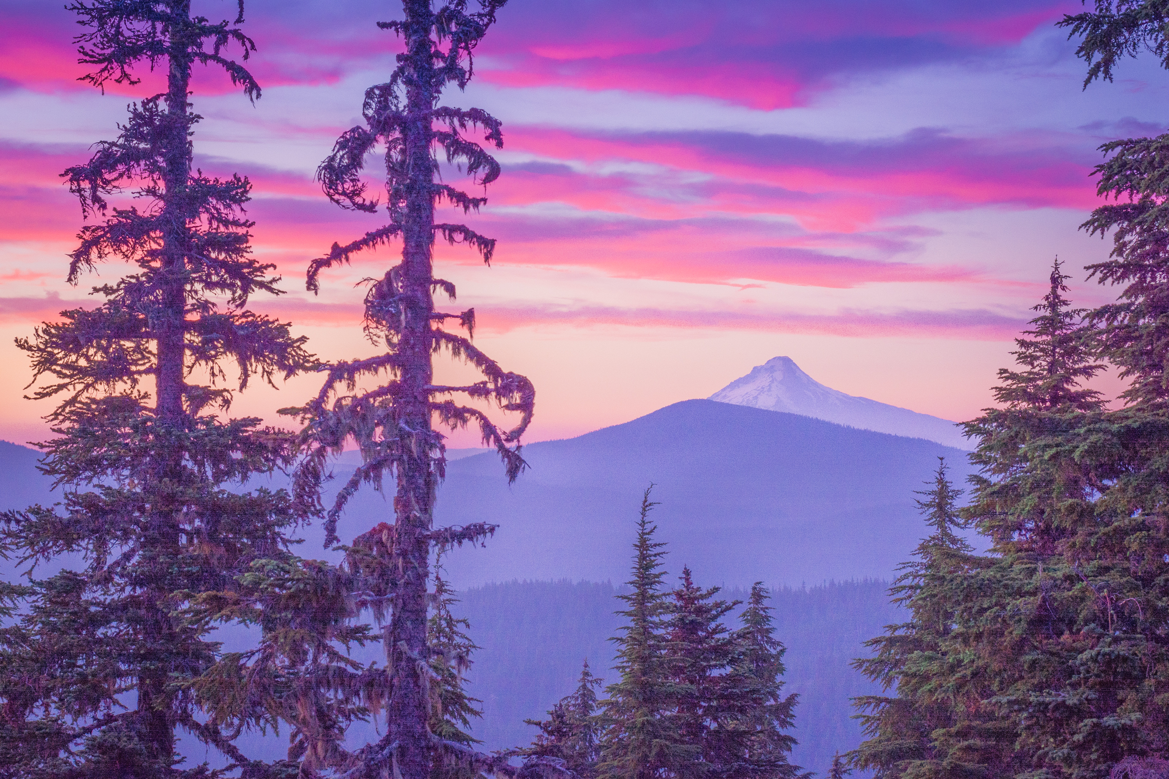
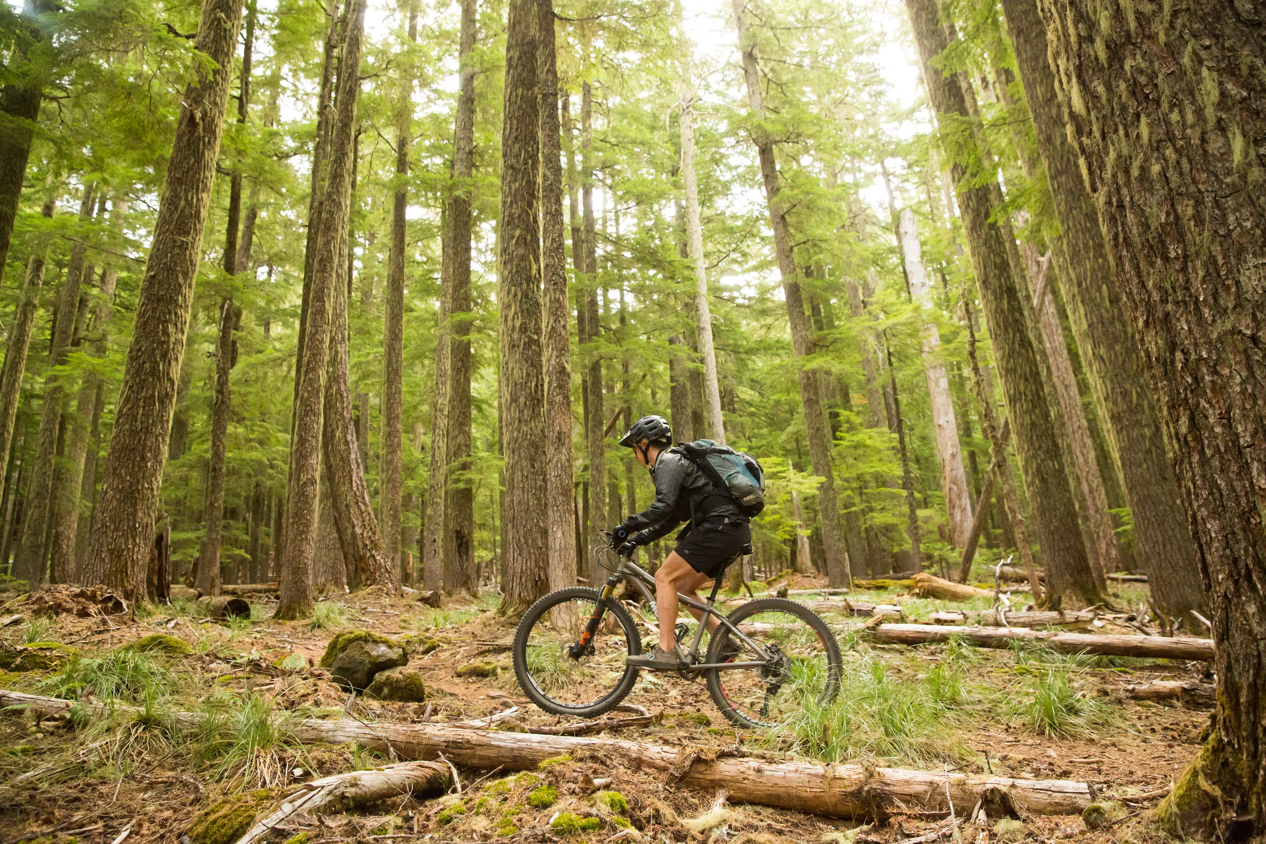
As you head into the Hood Tier you may think you’re on the final stretch—that is if you haven’t looked at the elevation profile. The Hood Tier takes you up and down across backcountry ridges and streams, first teasing you with imposing views of Mount Jefferson and eventually Mount Hood itself. The Old Cascade Crest is steep and rewarding, eventually dropping you down to the North Santiam River, past Breitenbush Hot Spring, and then up to Olallie Lakes.
“I deeply appreciate the uncertainty of challenges such as this. I love to get lost in a adventure which I’m not certain I can finish.”
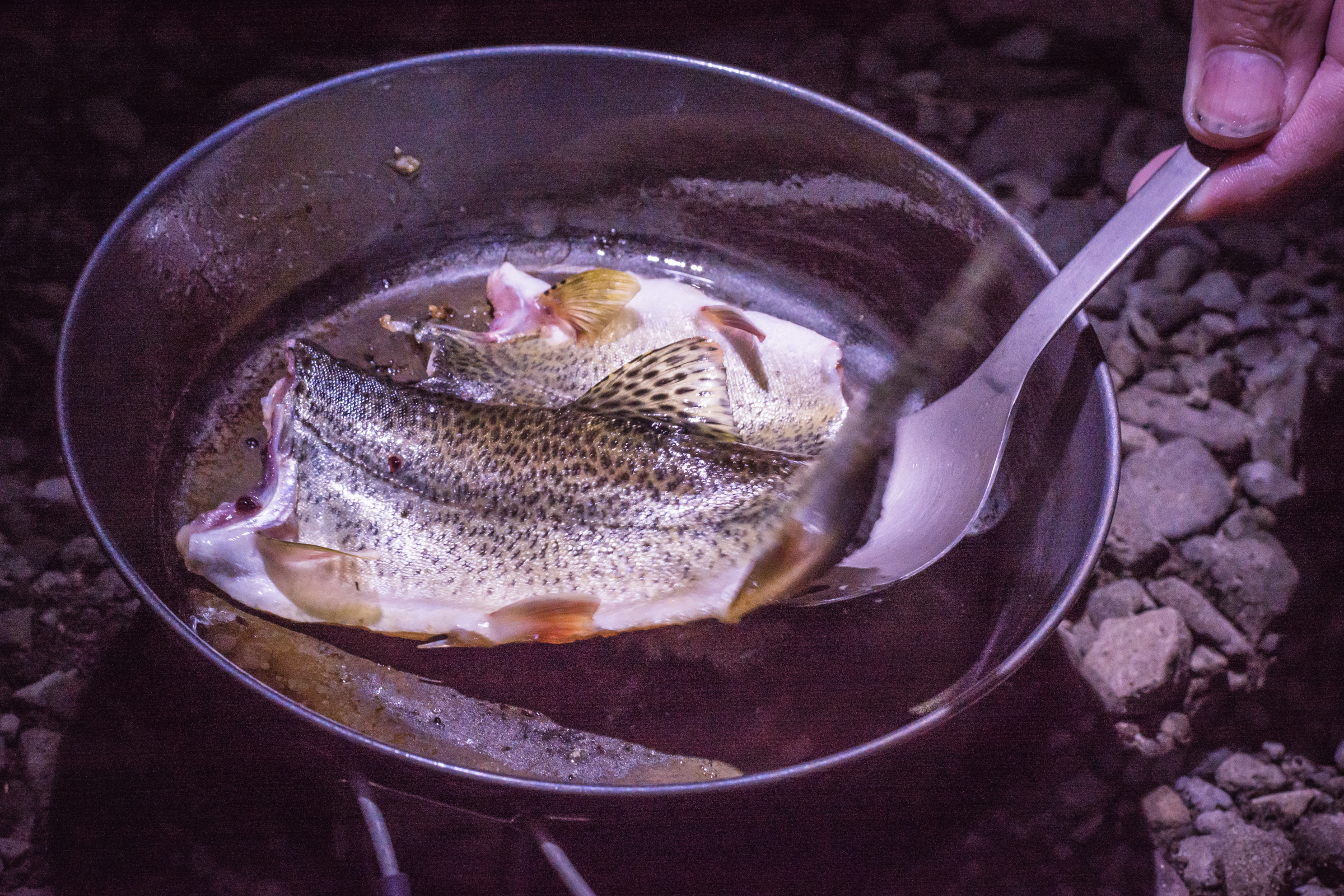
The Olallie Lakes Scenic Area is a quiet, high-elevation landscape speckled with pocket lakes brimming with trout. A fire scorched the area in 2021 but much of the beauty remains. The small store at Olallie Lake Resort is well-stocked for the Pacific Crest Trail thru-hikers, and bikepackers as well.
Further north, the Oregon Timber Trail follows dusty roads that were once the Oregon Skyline Trail, a predecessor to the Pacific Crest Trail established in 1968. You’ll loop around Timothy Lake, marvel at Little Crater Lake, cross the White River at the historic Barlow Crossing, and begin the long climb to Gunsight Ridge. Gunsight Ridge leads to Lookout Mountain and eventually connects to the iconic Surveyor’s Ridge. An abrupt descent of Oak Ridge trail leads to the upper Hood River valley where you again get a taste of civilization. Think fresh fruit, wine, beer, pizza and BBQ.
Don’t celebrate too early; you have another stiff climb up to Kingsley Reservoir to the top of the Post Canyon trail system, where you begin your descent to the Columbia River Gorge following some of the buffest trails around. A community trail guides you to downtown Hood River and then it’s a quick jaunt north to the Columbia River. Dip your tires and toes in river: it’s time to celebrate—you just rode your mountain bike along the whole state.
Highlights
Fish Lake Work Center
Take a side trip on the famous McKenzie River Trail with a shuttle from Horse Creek Lodge & Outfitters
Crescent, Coffin, and Bachelor Mountains
McCoy Shelter
Breitenbush Hot Spring Retreat
Olallie Lakes
Timothy Lake
Barlow Crossing
44 Trails System
Surveyor’s Ridge
Parkdale
Post Canyon

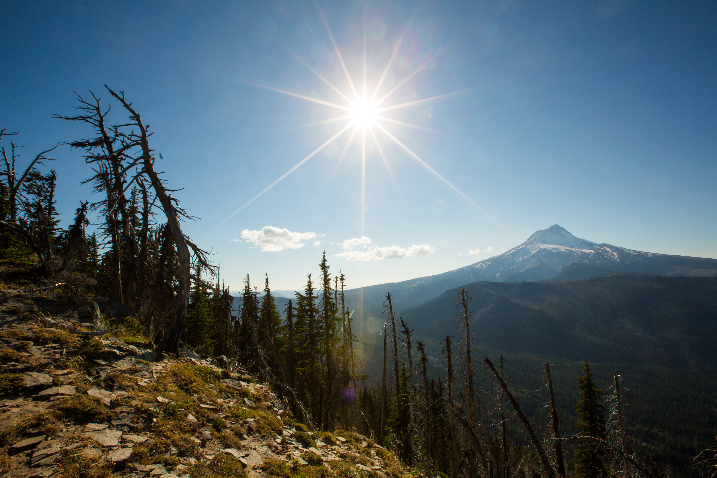
Views of Mount Hood from Olallie Lakes © Gabriel Amadeus
Logistics
Although you’re somewhat closer to civilization now, the resupply points are even more limited. There’s no resupply between Sisters and Idanha (80 hard miles) and no resupply between Olallie Lakes Resort and Parkdale (90 hard miles). Pack smartly and make sure you have enough food if it takes a day or two longer than expected.
Breitenbush Hot Springs is an excellent and relaxing rustic hot springs retreat but reservations are required for staying overnight, as well as day-use.
At the north end of Timothy Lake at mile 579 the Oregon Timber Trail and the Pacific Crest Trail share the same foot bridge. Bikes are not allowed on the PCT, but walking your bike across this bridge is permitted.
Once entering the 44 Trails area coming down from Lookout Mountain there are a number of side trips to explore, including Fifteenmile, Knebal Springs, Bottle Prairie, and Dog River.

Wildflower season © Leslie Kehmeier
Trail & Forest info
Willamette National Forest Detroit, OR | 503-854-3366
Mount Hood National Forest Sandy, OR | (503) 669-1700
Recommended maps
USGS Topographical Quadrants available at USGS.gov
Mount Hood Area Adventure Map
Hood River Mountain Biking Adventure Map
National Geographic Mount Jefferson / Mount Washington Trail Map
National Geographic Mount Hood Trail Map
Bike shops
Beargrass Bicycles at 1260 Tucker Road. They are closed Sunday and Monday. (541) 436-4591. (https://www.beargrassbicycles.com/).
Discover Bicycles at 210 State St. (541) 386-4820. (https://discoverbicycles.com/).
Mountain View Cycles at 205 Oak St. They are closed Sunday and Monday. (541) 386-2453. (https://www.mtviewcycles.com/).
Dirty Fingers Bicycles Repairs at 1813 Cascade Ave Unit A. They are closed on Sunday. (541) 308-0420. (http://dirtyfingersbikes.com/).
Nearest medical facilities
St. Charles Medical Center
2500 NE Neff Road | Bend, OR 97701 | (541) 382-4321
Providence Hood River Memorial Hospital
810 12th St. | Hood River, OR 97031 | (541) 386-3911
Law Enforcement
Linn County Sheriff: (541) 967-3950
Marion County Sheriff: (503) 588-5094
Clackamas County Sheriff: (503) 655-8211
Hood River County Sheriff: (541) 386-2098
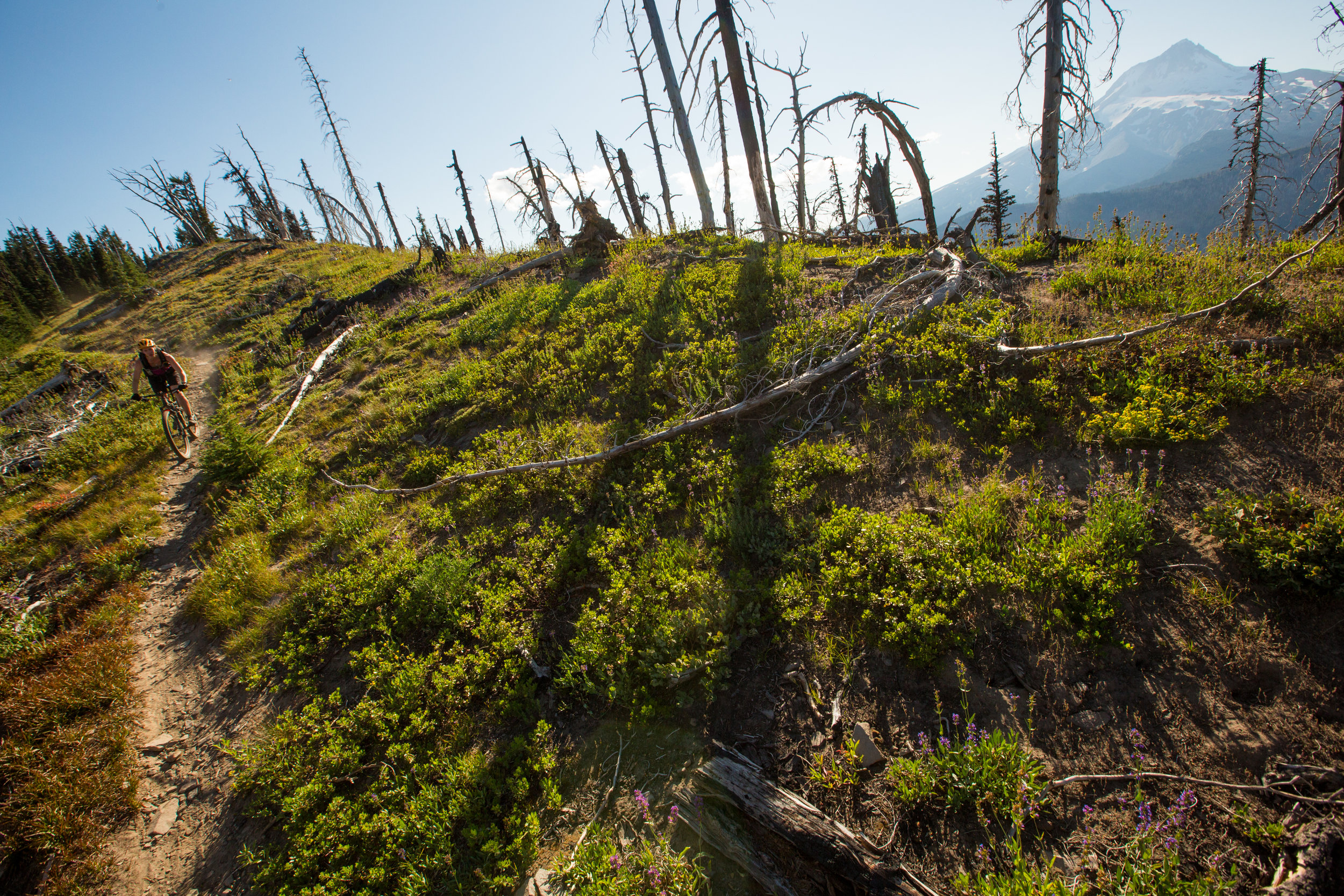
Olallie Lakes area © Leslie Kehmeier
OLD CASCADE CREST
Segment 8 of 10
Fish Lake to Olallie Lake

Lower Lake Trail © Leslie Kehmeier
Segment length: 78 miles
Total climbing: +14,075 feet
Number of days: 2-4
15% Paved
45% Dirt road
40% Singletrack
85% Rideable
Physical difficulty: 9/10
Technical difficulty: 8/10
Bikepacking challenge: Advanced
Longest stretch between resupply: 45 miles, 1-2 days
Longest stretch between water sources: Many water sources
Resupplies
Mile 469: Clear Lake Resort: Very minimal snacks at store
Mile 515: Idanha Country Store: Limited selection, but very important resupply. Good milkshakes!
Mile 533: Breitenbush: Small gift shop
Mile 548: Olallie Lake Resort: Small resort store, but stocked with items for PCT thru-hikers
Commercial Lodging
Mile 469: Clear Lake Resort: Very minimal snacks at store
Mile 533: Breitenbush Cabins
Mile 548: Olallie Lake Resort: Cabins and yurts available

Old Cascade Crest © Gabriel Amadeus
The Old Cascade Crest, a geologic predecessor to the line of higher volcanoes just to the east, is a rugged wonder with rock outcrops, deep valleys, meadows, and hot springs. The Oregon Timber Trail only scales a few of the Old Cascade peaks, worn rugged by time, but you’ll be tempted to come back and exhaust yourself on some of the other trails.
Segment 8 begins near Fish Lake (more of a wet meadow than a lake in the summer). It’s at the headwaters of the McKenzie River and site of the Remount Depot. The park is a pleasant spot to pause and plan your move northward into the Old Cascades. The Remount Depot is a historic site worth exploring - over a century ago it was a stop to exchange horses or graze cattle before the final push westward over mountains along the Santiam Wagon Road.
If you want to linger longer consider a side trip down the McKenzie River Trail. It’s fast and flowy and goes on for miles. You’ll pass by Clear Lake (a geologic oddity), Belknap Hot Springs, and more old-growth trees than you can shake a stick at. To avoid a long uphill climb, hire Horse Creek Lodge & Outfitters for a shuttle back to Fish Lake.
Just north of the Remount Depot you’ll start the long climb through forest and flower meadows up to Crescent Mountain. A series of long steep descents and climbs on narrow trail takes you by Three Pyramids and Scar Mountain. All three peaks are highly eroded volcanoes dating back 17 to 37 million years. In contrast, the glacier-studded Mount Jefferson to the northeast formed less than a million years ago and still has its youthful volcano shape.
The trail feeds into a series of logging roads that take you by Tule Lake (great for a quick soak and some informal camping) and a long, rolling descent to the North Santiam River. A short trip west on the highway that goes along the river gets you to the small country store in restaurant in Idanha.
A hefty climb on logging roads leads you up to Boulder Ridge. You’ll pass by McCoy shelter, which is free and open on a first-come first-serve basis. The steep drop from the ridge down to the Breitenbush River puts you near the Breitenbush Hot Springs Retreat. You can reserve a few hours of soaking in the hot springs or book a cabin and enjoy their communal meals. There’s also a public hot spring just downstream from the resort if you’re more comfortable dirtbagging it.
Seven miles of pavement riding along the Cascading Rivers Scenic Bikeway leads to a gravel logging road that climbs relentlessly up to the Olallie Lakes Scenic Area. The official route includes the Red Lake and Lodgepole trails but as of 2024 these trails are unrideable due to the Lionshead Fire and lack of maintenance. Instead, continue on the logging road pass a number of high elevation lakes lined with dispersed campsites. Unfortunately, much of the forest was torched by the recent fire, yet much of the beauty remains. Olallie Lake Resort is along the way and the small store is surprisingly well stocked; it’s an important resupply for those hiking the Pacific Crest Trail. Segment 8 ends near Olallie Lake.

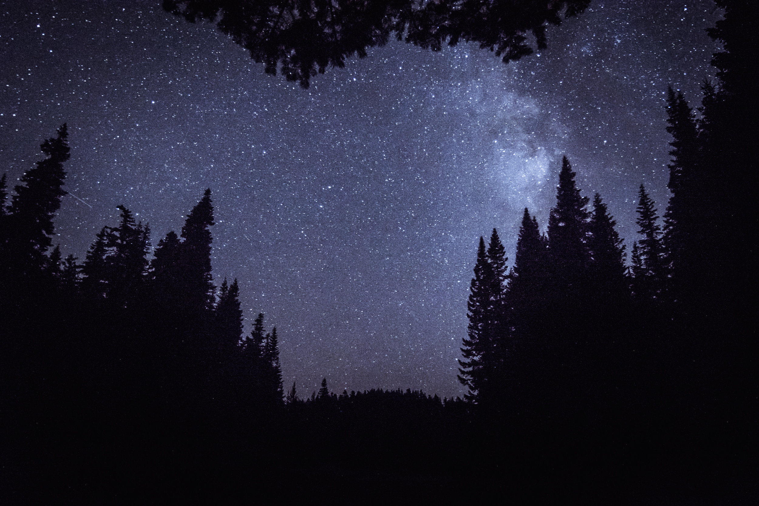
Mount Hood National Forest night sky © Gabriel Amadeus
WY’EAST
Segment 9 of 10
Olallie Lake to Parkdale

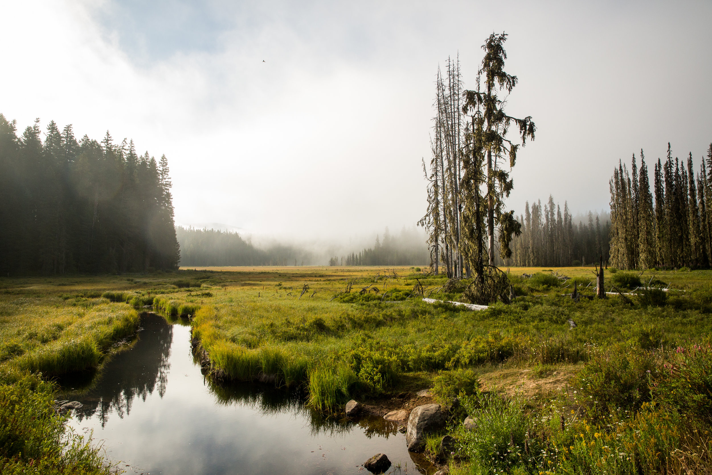
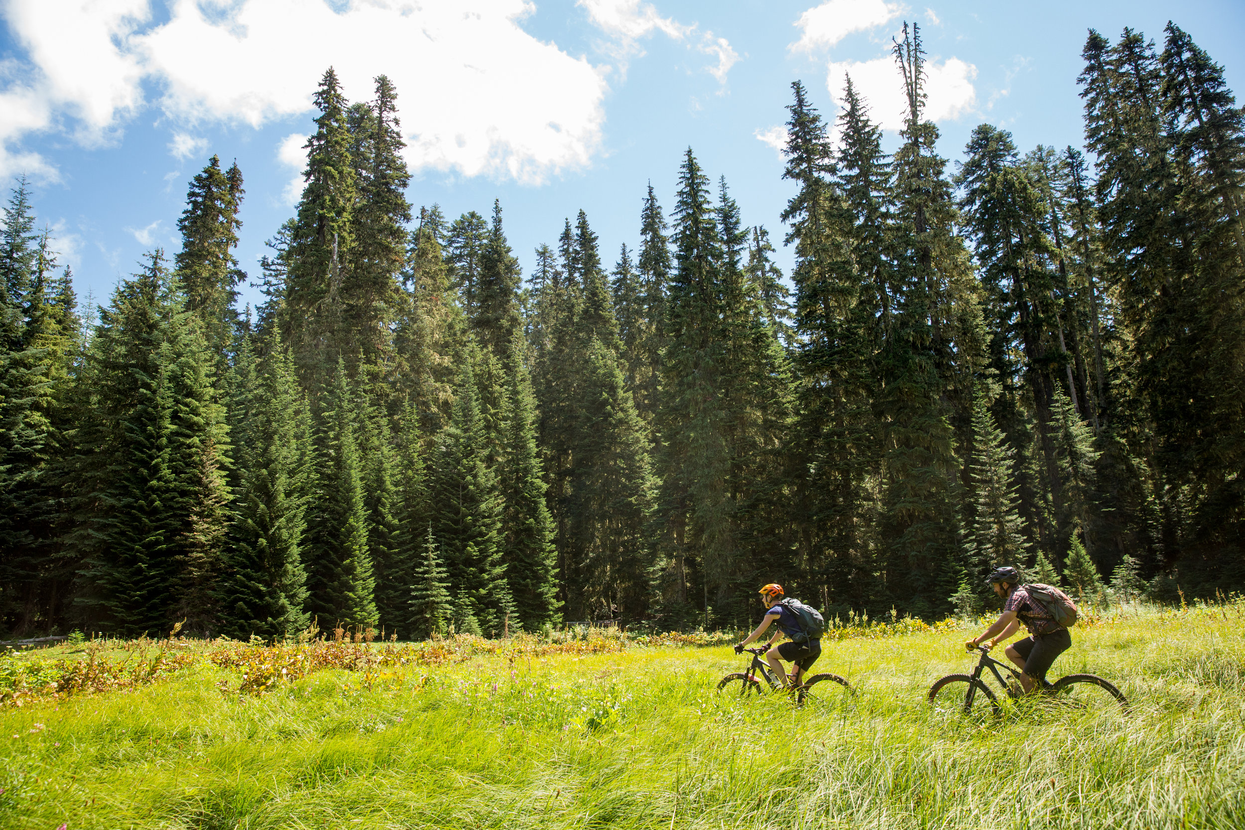
Circling Timothy Lake © Leslie Kehmeier
Segment length: 92 miles
Total climbing: +8,797 feet
Number of days: 2-3
24% Paved
27% Dirt road
49% Singletrack
95% Rideable
Physical difficulty: 7/10
Technical difficulty: 6/10
Bikepacking challenge: Advanced
Longest stretch between resupply: 92 miles, 2-3 days
Longest stretch between water sources: 22 miles, 1 day
Resupplies
Mile 548: Olallie Lake Resort: Well stocked resort store familiar with the needs of PCT thru-hikers
Mile 639: Parkdale: Several restaurants and full grocery store
Commercial Lodging
Mile 548: Olallie Lake Resort: Cabins and yurts available
Mile 639: Old Parkdale Inn (Tent space available)
This segment is called Wy’east, considered by some to be a Native American name for the glacial-carved Mount Hood just to the west. Mount Hood is an imposing stratovolcano and the highest peak in Oregon. The terrain is steep and the forests dense, yet somehow early emigrants on the Oregon Trail found passages over the Cascade Mountains to the Willamette Valley. Their alternative was the high price and risk of rafting wagons, animals, and supplies down the rapids of the Columbia River.
Mount Hood looms larger as you follow logging roads that supplanted the historic Skyline Trail leading to Timothy Lake. Picturesque, if not a bit crowded on a summer weekend, the OTT follows a trail that takes in three sides of the lake and past a number of car campgrounds. For the humble bikepacker, the rustic walk-in campsite on Meditation Point is probably the best bet. Once you reach Road #58, you have the option of a short side trip to the northwest to check out Little Crater Lake. Just before reaching Highway 26 turn right into Skyline Sno-Park, where some minor roads will lead to the large culvert where you cross under the highway.
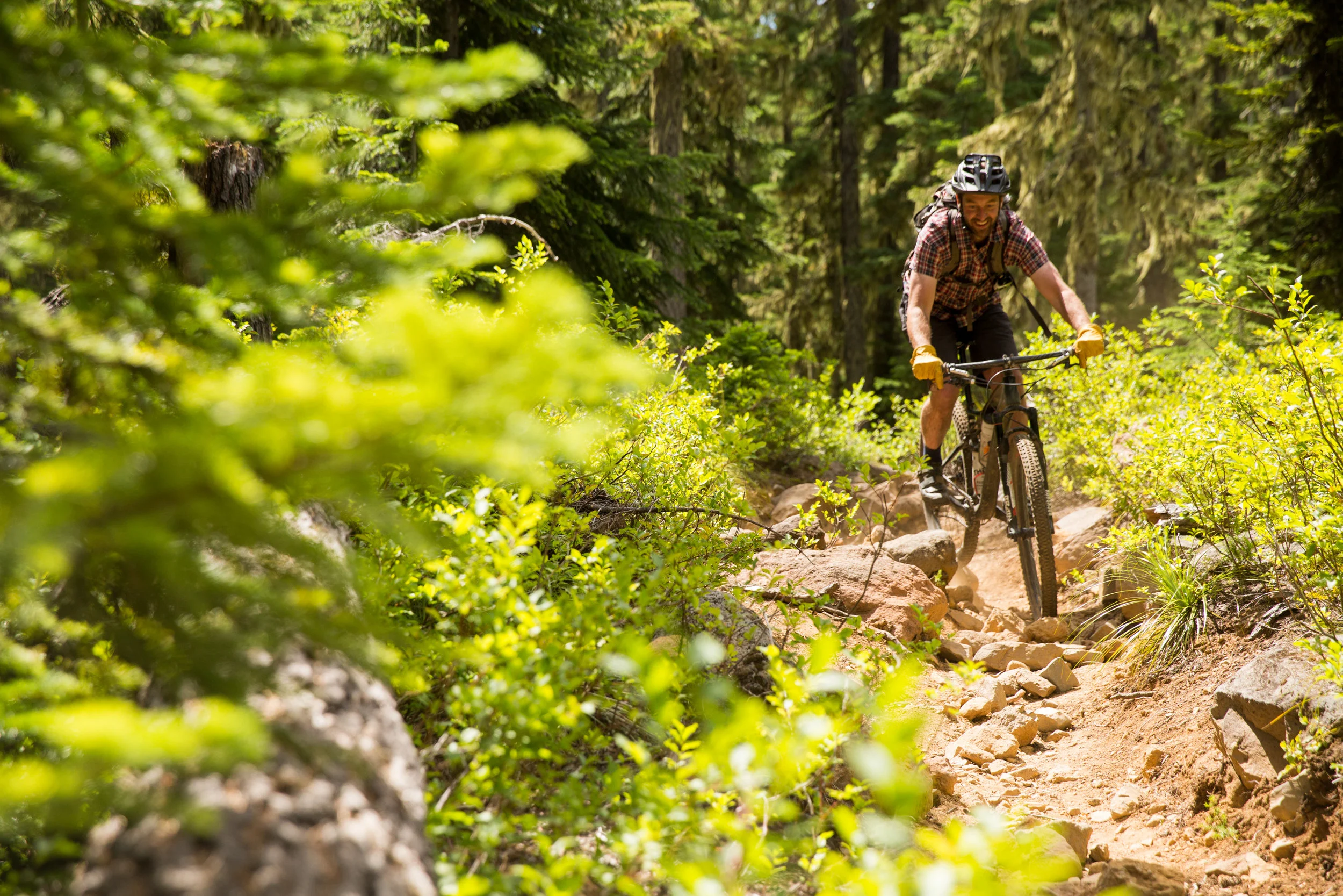
Cross the White River and begin the long climb on gravel roads and trails to the start of Gunsight Ridge trail where the fun and sights intensify. For the next 28 miles you’ll be traveling on well-maintained trails with killer views off to the west towards Mount Hood and the valley far below.
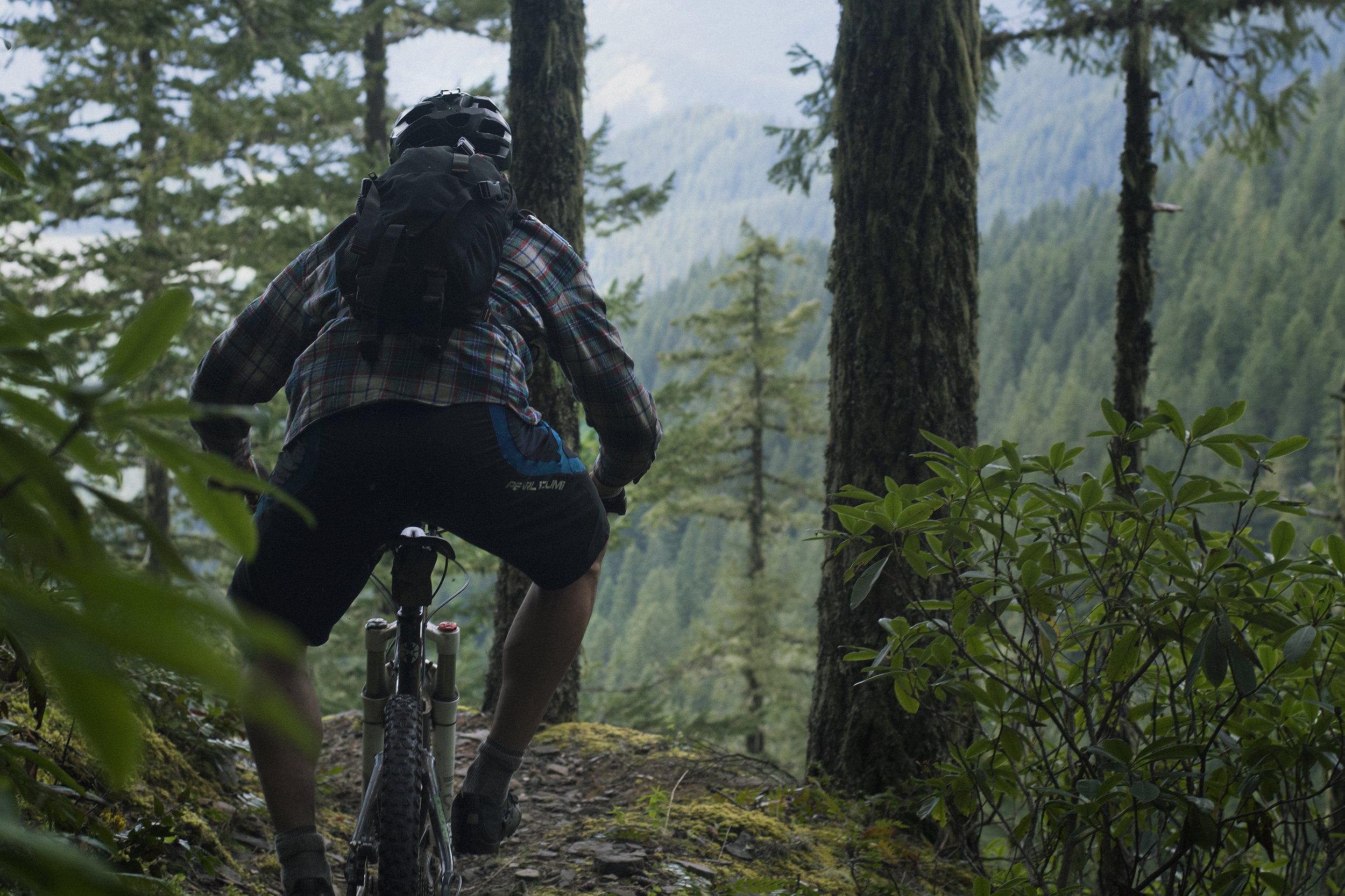
After peaking out at High Prairie (Lookout Mountain) you’ll begin the long, gradual drop into the upper Hood River Valley, following Lookout Mountain Trail, Knebal Springs Trail, Connector Trail, Super Connector Trail and the iconic Surveyors Ridge Trail. The trails are fast but take time for the views meadows, forests and rock outcroppings. The descent from Surveyors Ridge to the valley floor is on the Oak Ridge trail. It’s steep and twitchy - cinch down your helmet. There is no shame in walking the rocky bits. These trails are faithfully maintained by the 44 Trails Association mountain biking group.
You’ll then roll on paved roads past Tollgate County Park (good for camping and a hot shower) and into Parkdale, a small town known for its fruit, beer, barbecue, and views of Mt Hood. Parkdale has a well-stocked market and the few restaurants have pretty good food.

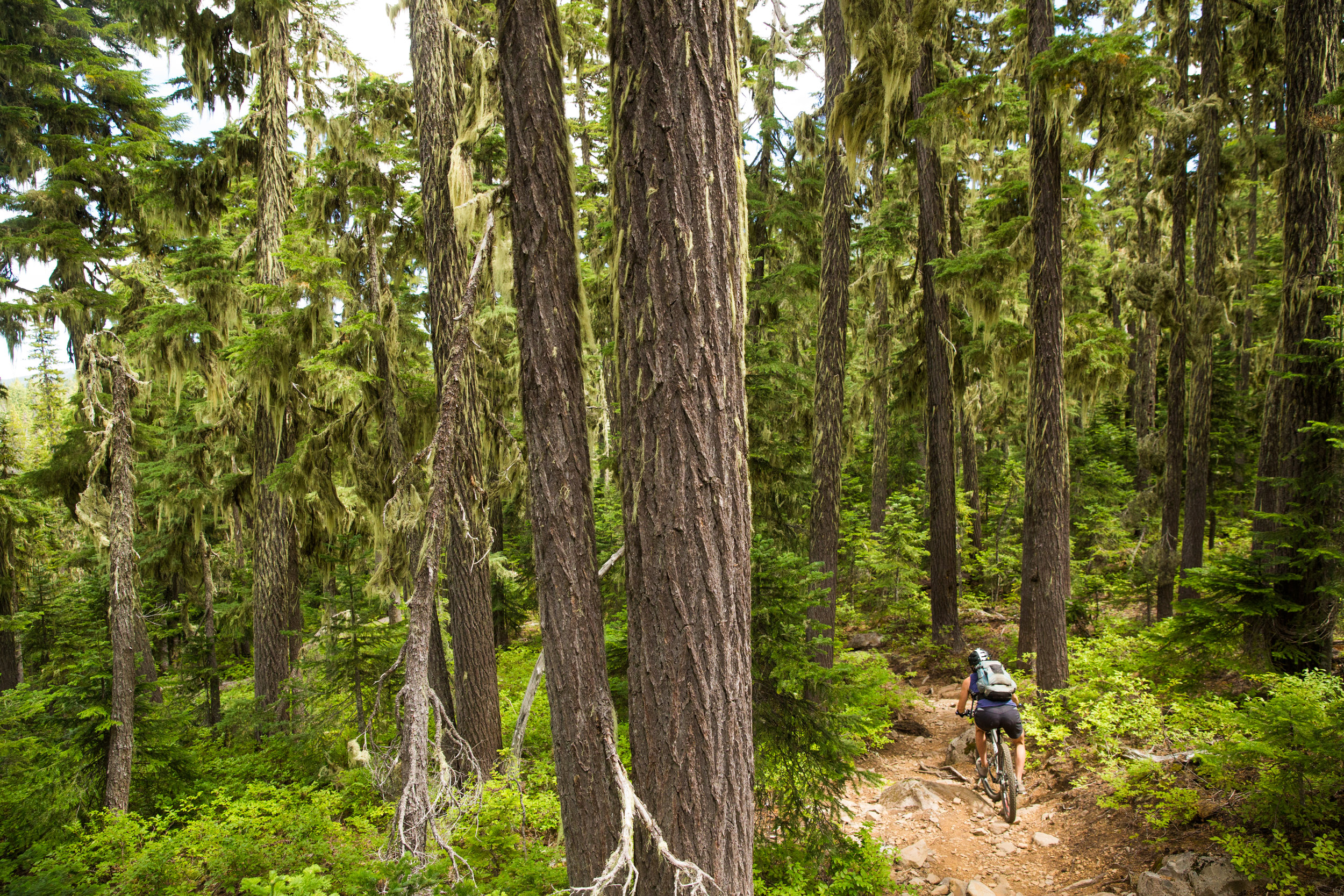
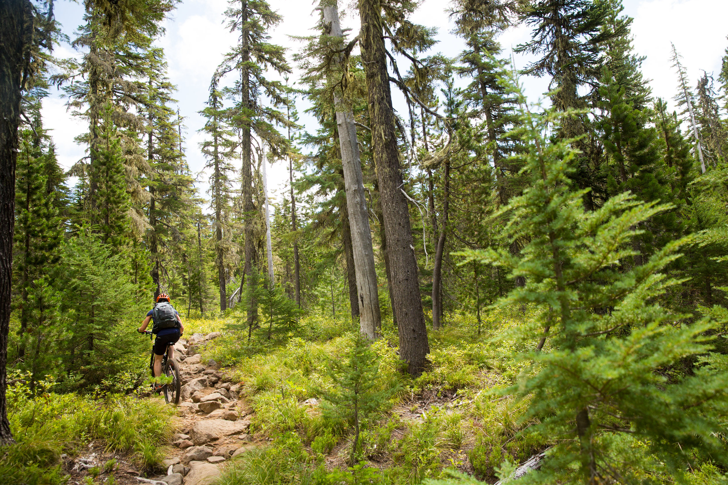
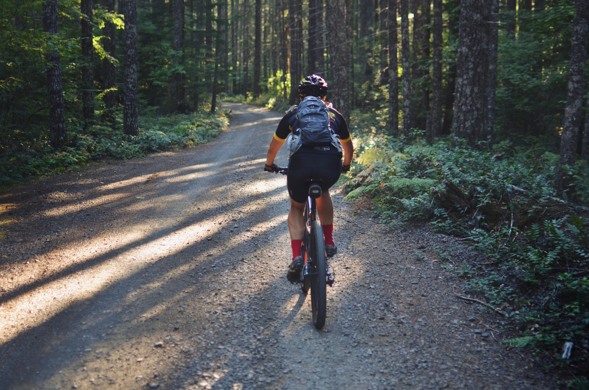
Ascending to Bonnie Meadows © Leslie Kehmeier
THE GORGE
Segment 10 of 10
Parkdale to Hood River

Waucoma Backcountry © Gabriel Amadeus
Segment length: 30 miles
Total climbing: +3,139 feet
Number of days: 1-2
50% Paved
17% Dirt road
33% Singletrack
100% Rideable
Physical difficulty: 6/10
Technical difficulty: 5/10
Bikepacking challenge: Beginner
Longest stretch between resupply: 30 miles, 1-2 days
Longest stretch between water sources: Many water sources
Resupplies
Mile 639: Parkdale: Several restaurants and full grocery store
Northern Terminus: Many Hood River options available. Solstice, Double Mountain Brewery, Pfriem, and Sixth Street Bistro all provide great food and drink to replenish that calorie deficit.
Commercial Lodging
Mile 639: Old Parkdale Inn
Mile 668: Many Hood River options available
At this point you can almost taste victory, but there remains one more long climb before dropping down to the Columbia River and the end of your adventure.
Head north out of Parkdale through pear, apple, and cherry orchards until you reach Punchbowl Falls County Park. A short hike to the falls is well worth the pause before taking on the seven mile of pedaling to Kingsley Reservoir. A campground at the south end of the reservoir is the last formal one on the OTT. The reservoir water is clear and good for a swim or a bit of fishing.
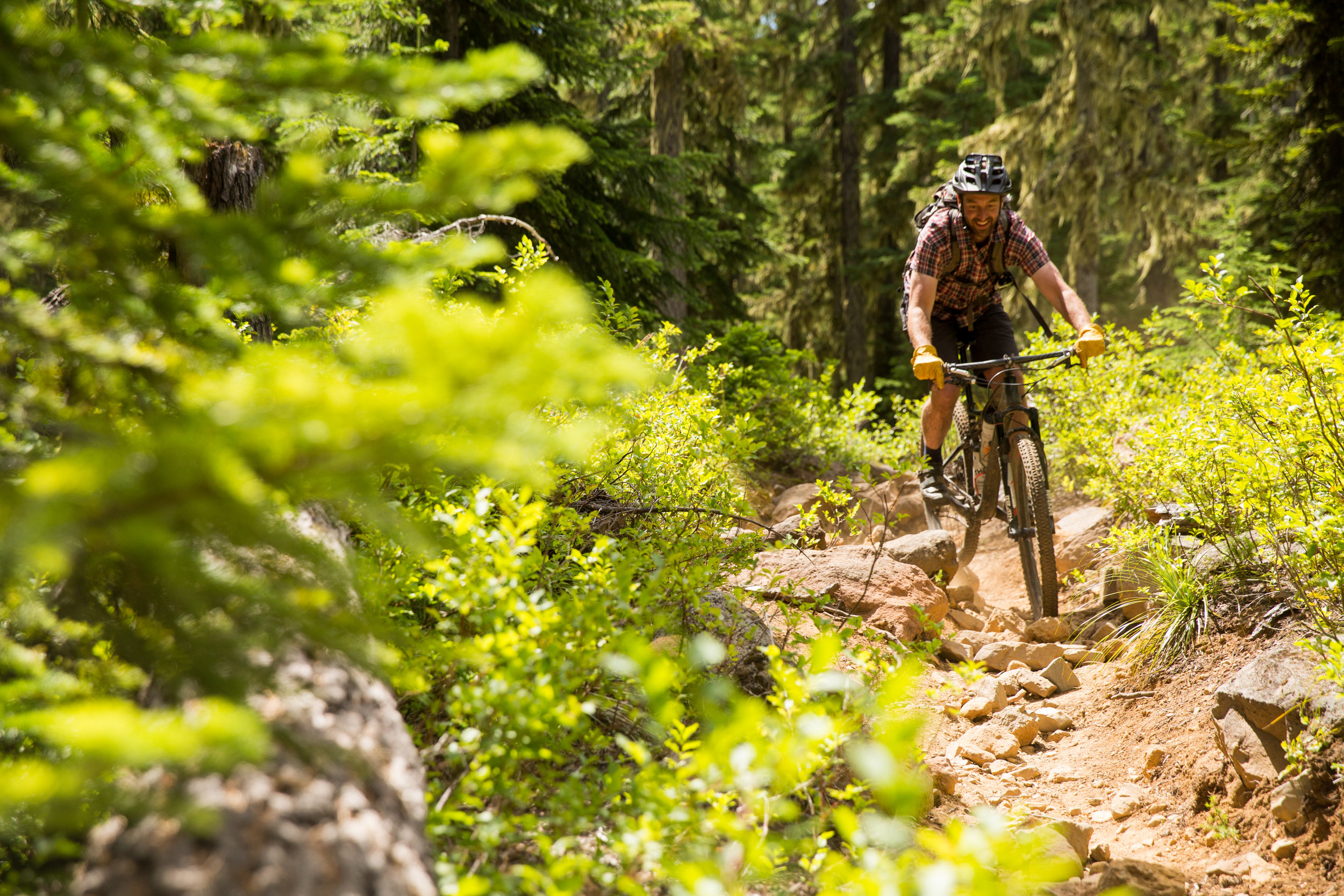
Post Canyon © Leslie Kehmeier
The trails of Post Canyon begin north of the reservoir and provide eight miles of flowy fun down to the lower Hood River Valley. The Hood River Area Trail Stewards (HRATS) built and maintain these trail.
The first few miles of trail are multi-use and you might encounter motorcyclists so heads up. The remainder is bike-only trail. Some are two-direction trails so be alert. Uphill riders have the right of way. Those biking north to south need to follow the Post Canyon Southbound Bypass to avoid conflicts with downhill bikers and trails that are too steep to ride.
The official route follows the easier trails (Dirt Surfer, El Dorado, Toilet Bowl, Sister Wife, and Kleeway) but you can cinch down your bags and take in some rowdier trail as you aim for the Seven Streams Staging Area. Check out the entire trail system on Trailforks or Mtbproject.com if you want to pick a different line through the canyon.

Kingsley Reservoir © Gabriel Amadeus
The last few miles take you through the bustling town of Hood River. People come from afar to take in the wind surfing, kiting, kayaking, hiking, and mountain biking here. The many bike shops, breweries, and cafes (also emergency room at the hospital) catering to this adventurous crowd.
The final leg of the trip takes you through downtown Hood River and north to Waterfront park. It’s not officially over until you dip your wheels in the Columbia River. Nearby delicious beer and hot food will help you celebrate the finish of your trek through the unique wild landscapes of the Oregon Timber Trail.

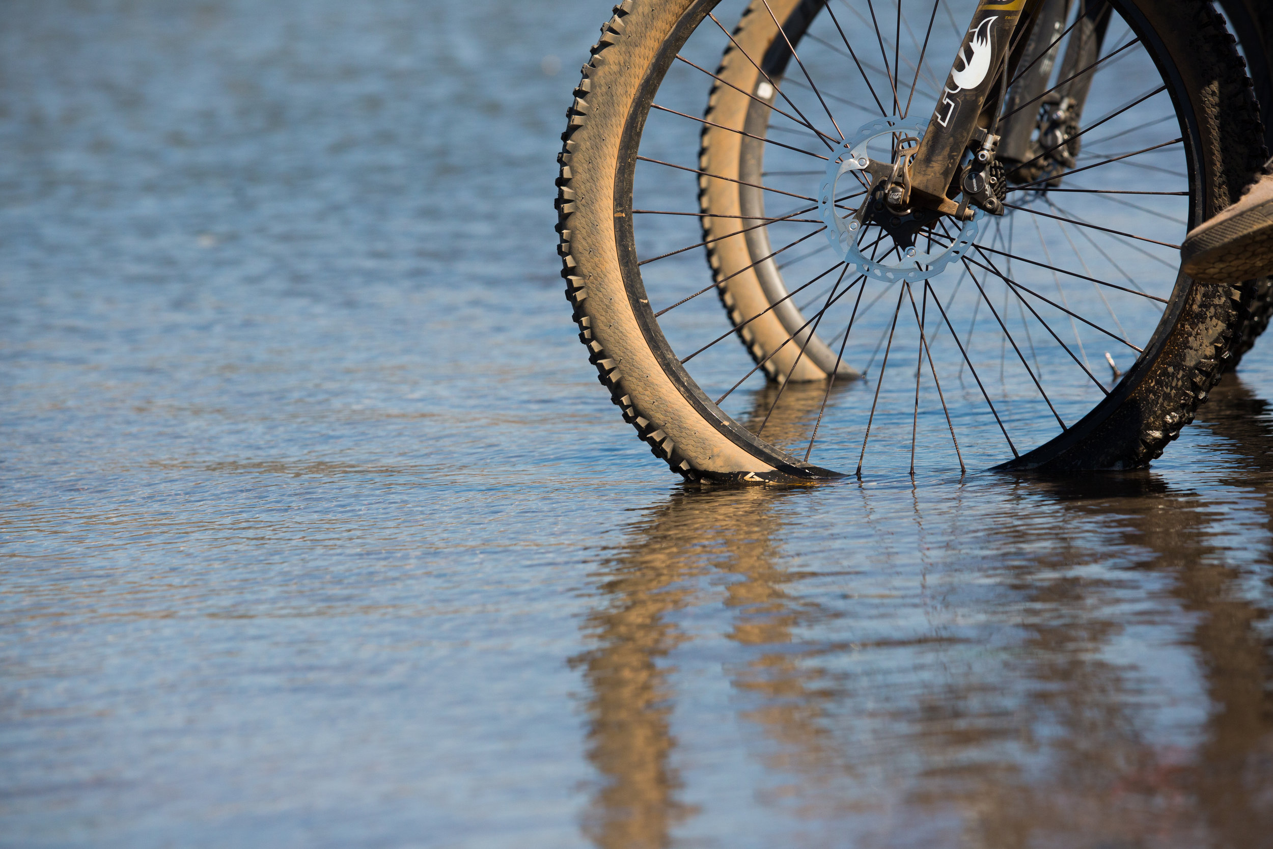
The mighty Columbia River © Leslie Kehmeier

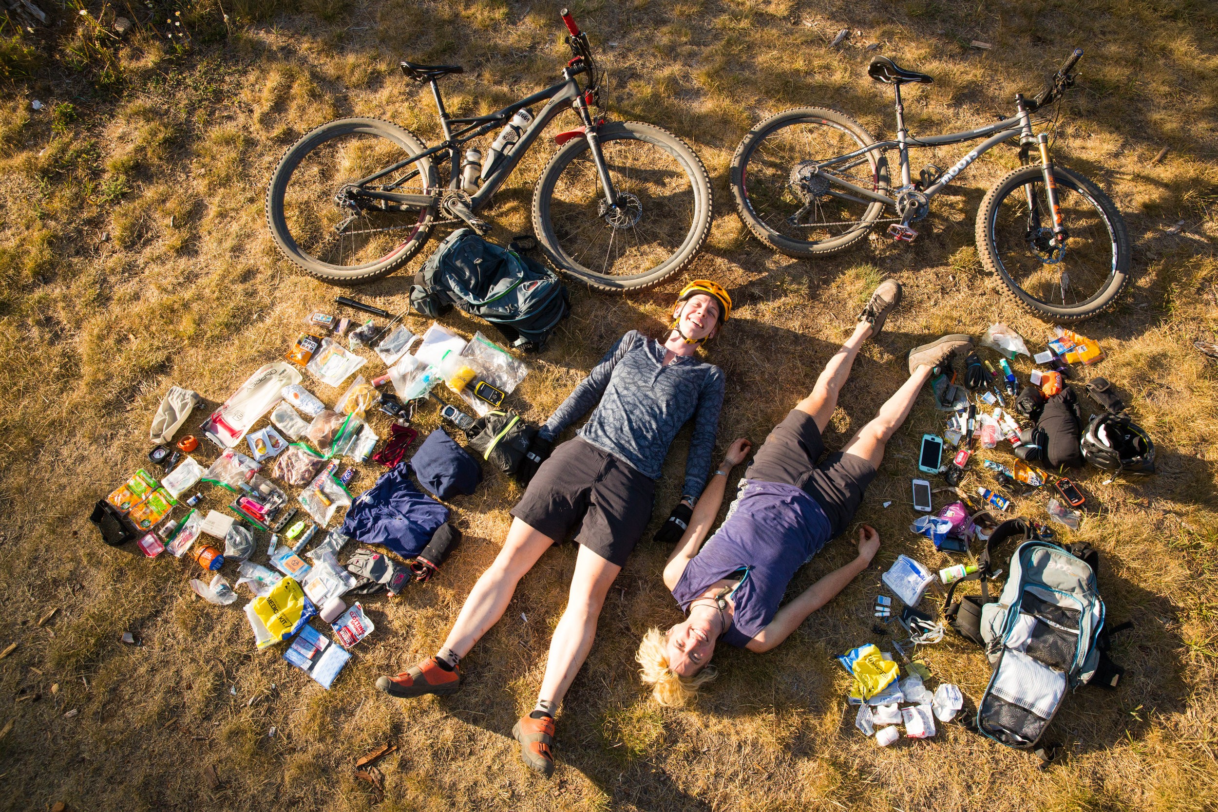
Sam and Kim, Oregon Timber Trail Pioneers © Leslie Kehmeier

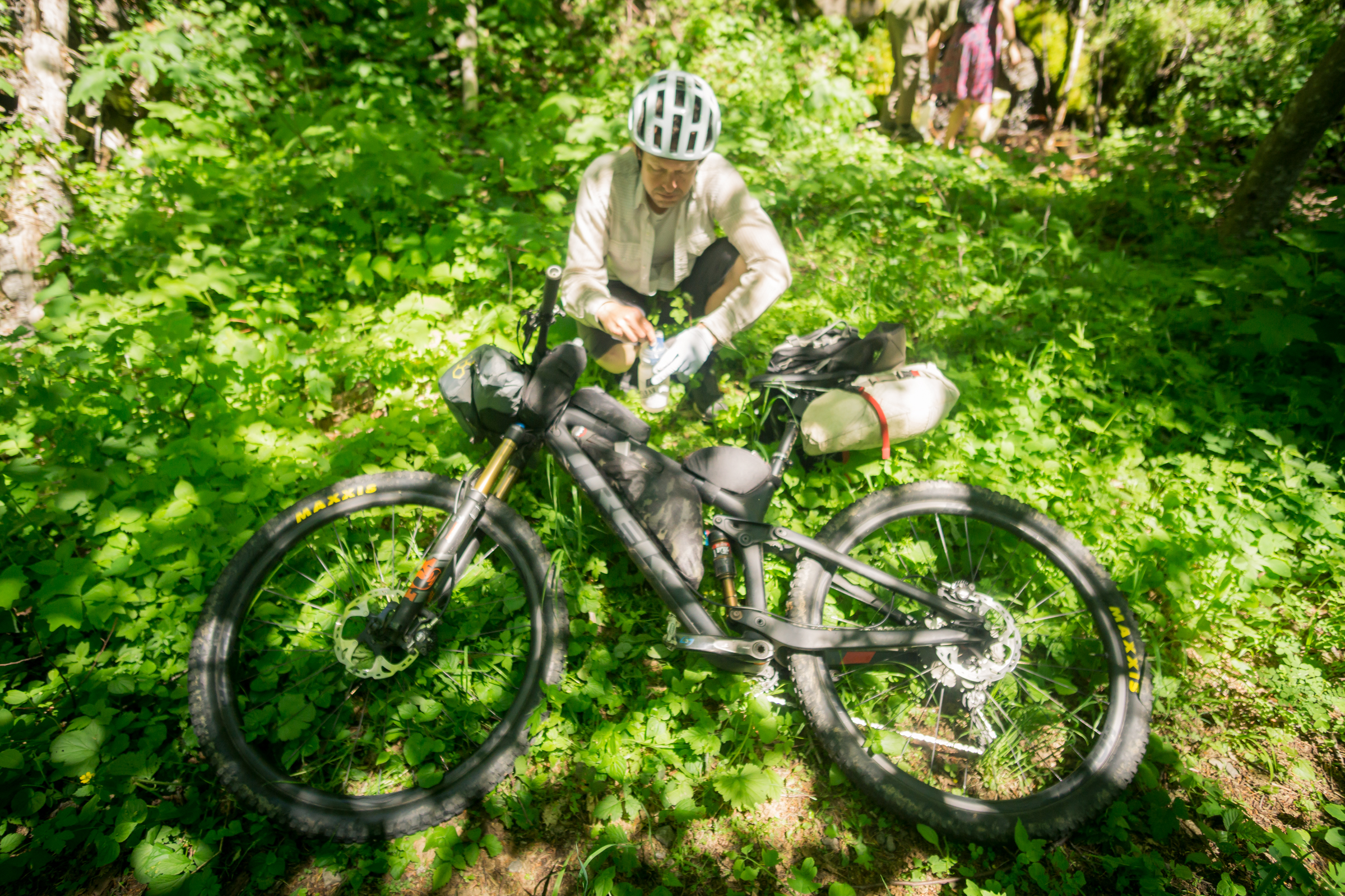
Rewarding yourself back in civizilation © Gabriel Amadeus